Trail Overview
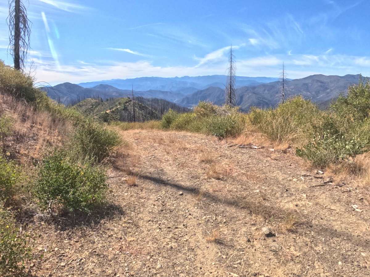
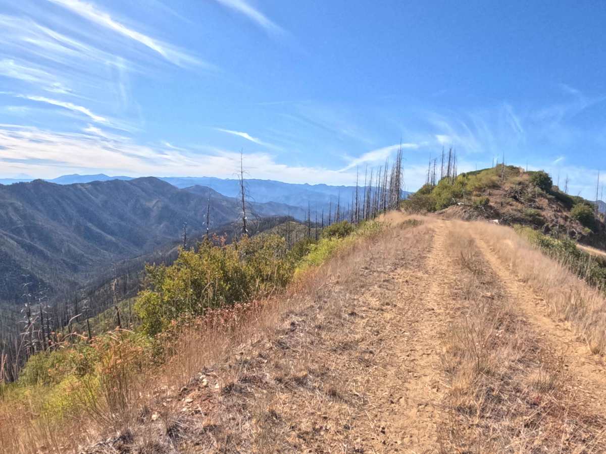
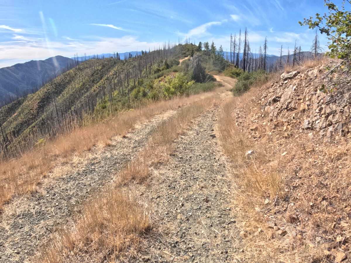
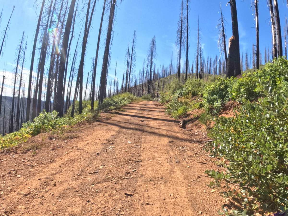
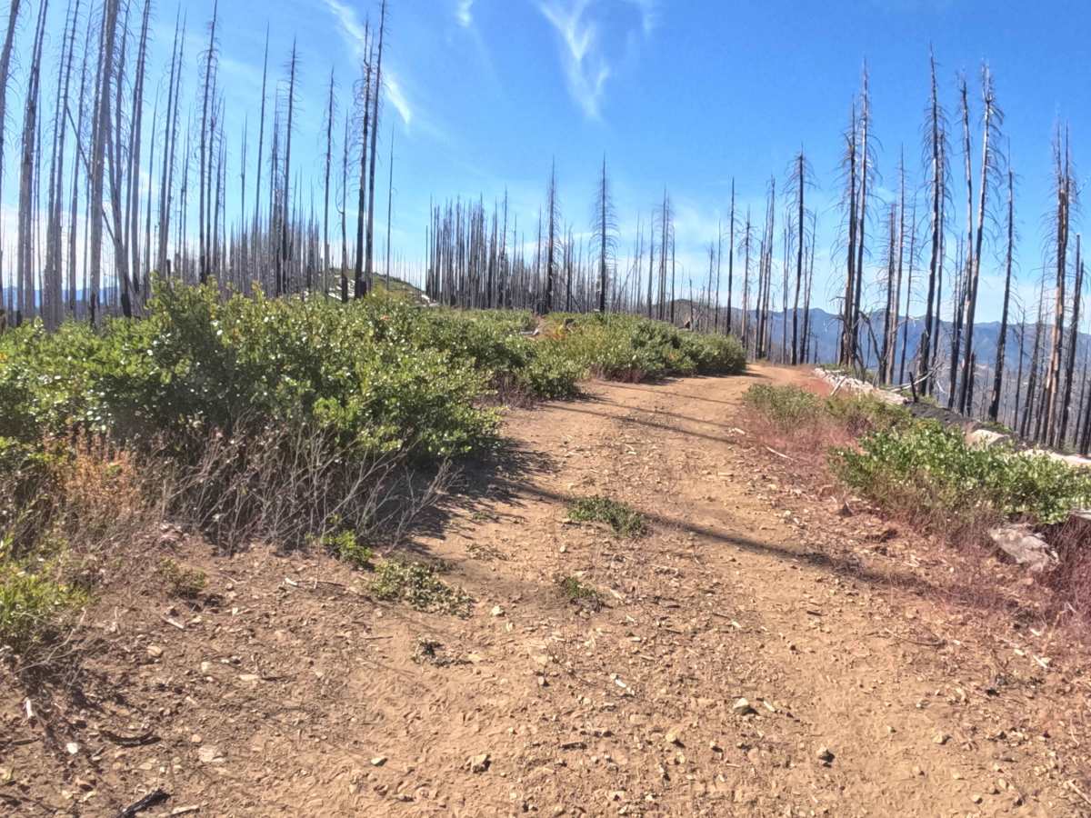
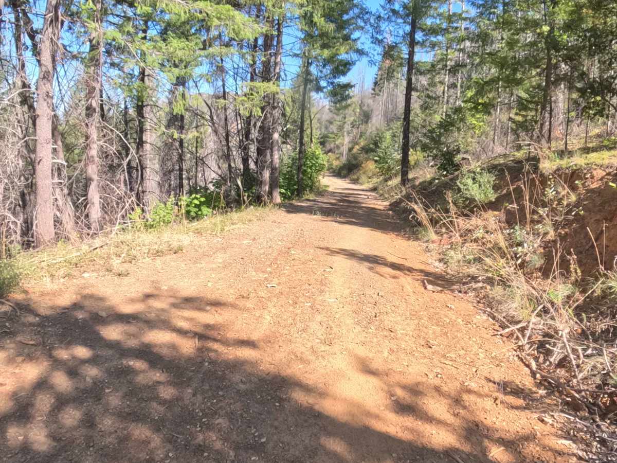
Accessed via connecting backcountry corridors, Forest Service Road 18N16, also known as East Indian Ridge Road, functions as a vital ridge-line connector route that provides continuous throughput deeper into remote mountainous terrain. Managed by the Klamath National Forest, the route winds through a rugged landscape recovering from the 2020 Slater Fire, characterized by fields of vibrant regenerating brush, stark standing timber snags, and sweeping panoramic valley vistas. Featuring a narrow, hard-packed dirt and gravel foundation, this passage attracts outdoor explorers seeking elevated overlooks, ridge navigation, and extended backcountry transit. Navigating this path requires careful attention to tight corners, shifting surface materials, and exposed roadside drop-offs resulting from the sparse post-fire overstory.
Difficulty
Rated a manageable 2, this winding ridge route presents steady driving conditions without extreme technical obstacles, though it demands continuous focus. Drivers must navigate a narrow corridor featuring numerous blind corners, loose surface gravel, and steep drop-offs alongside the burn scar, which require reduced speeds and heightened alertness for oncoming traffic. Maintaining steady momentum and watching closely for scattered branches or hidden debris ensures a safe, controlled journey across the elevated terrain.