Trail Overview
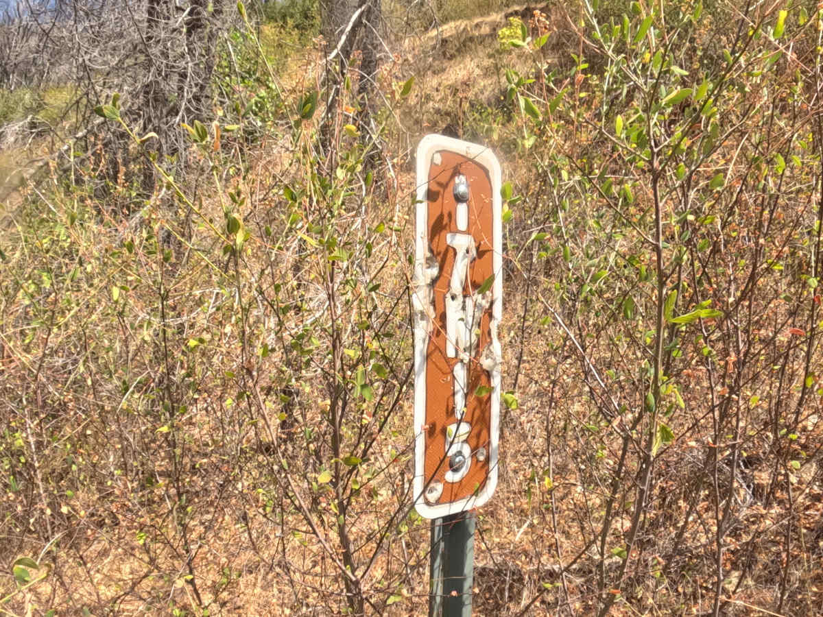
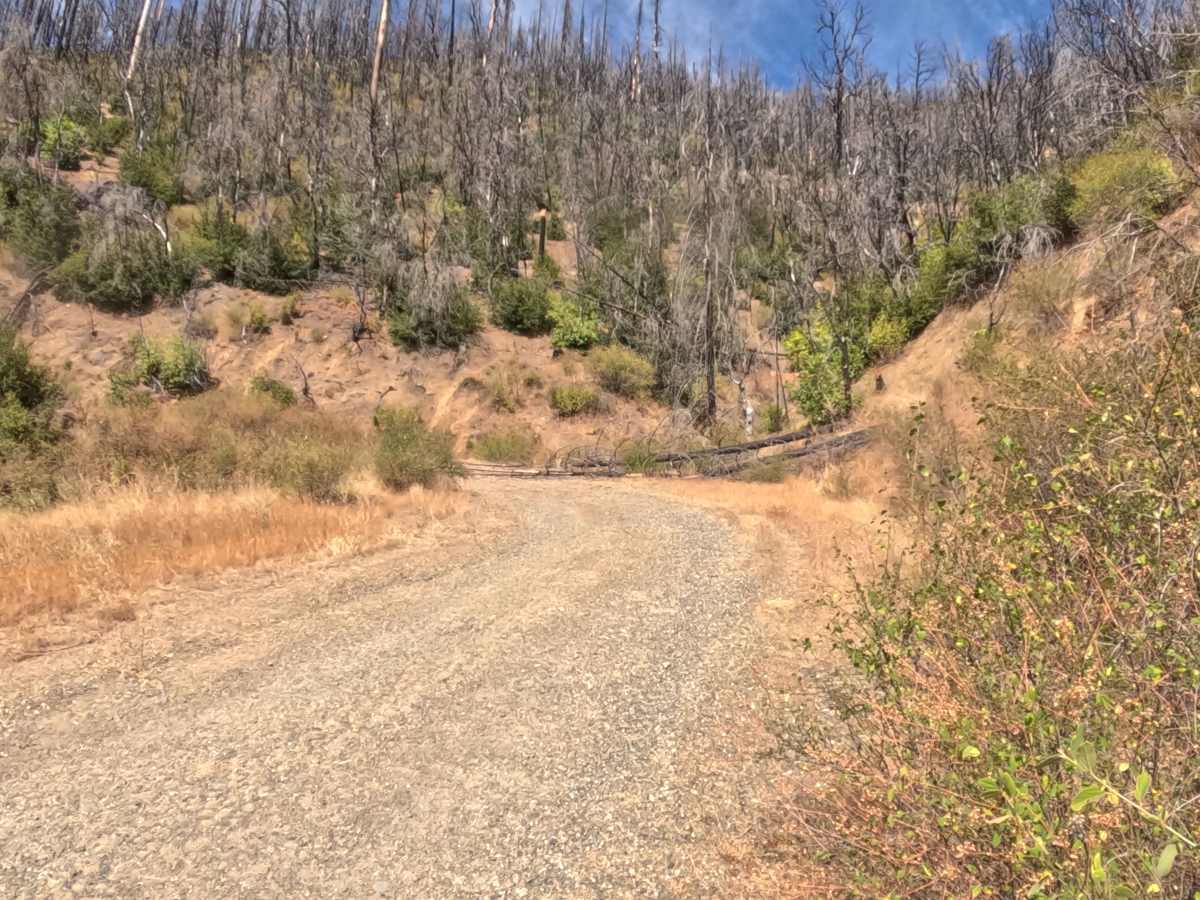
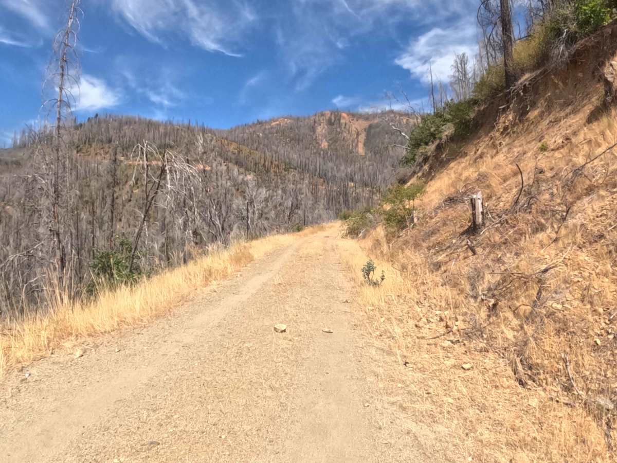
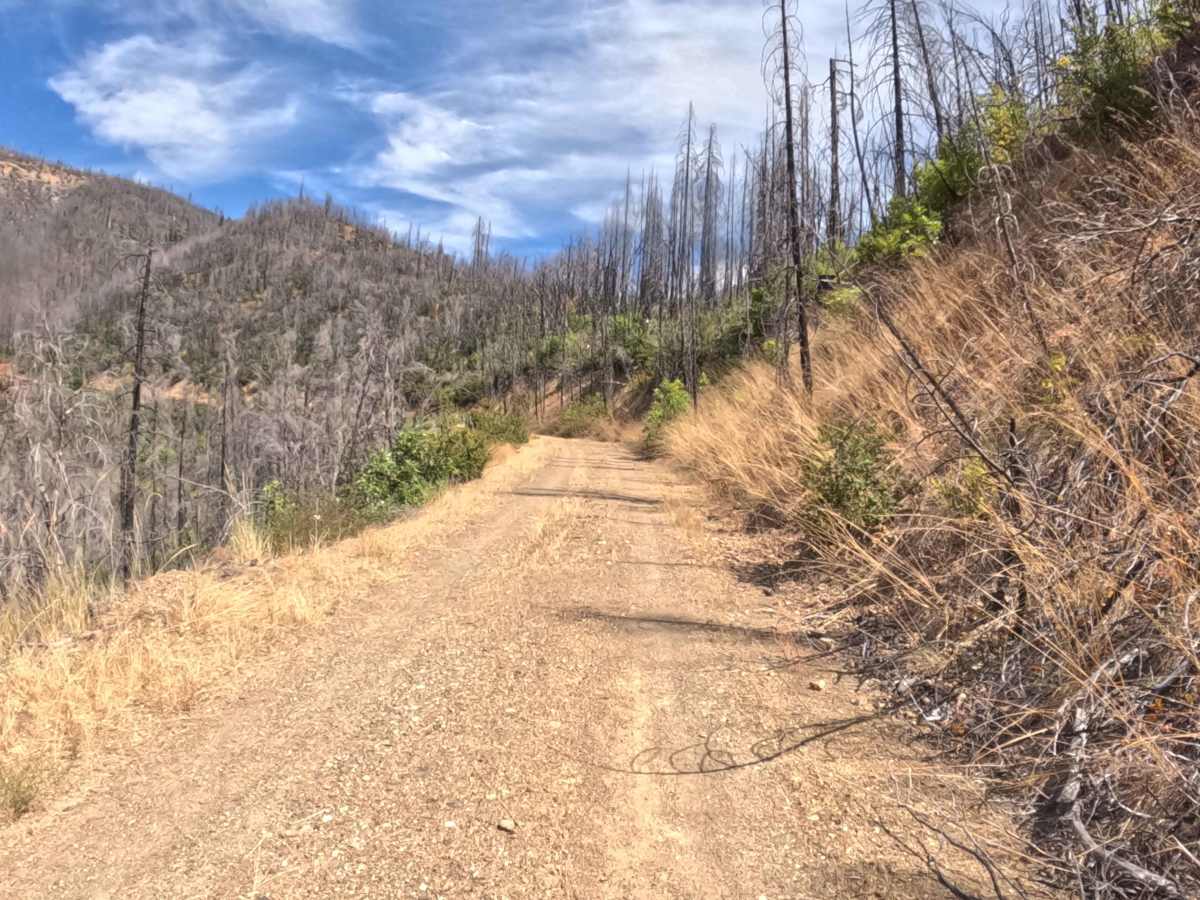
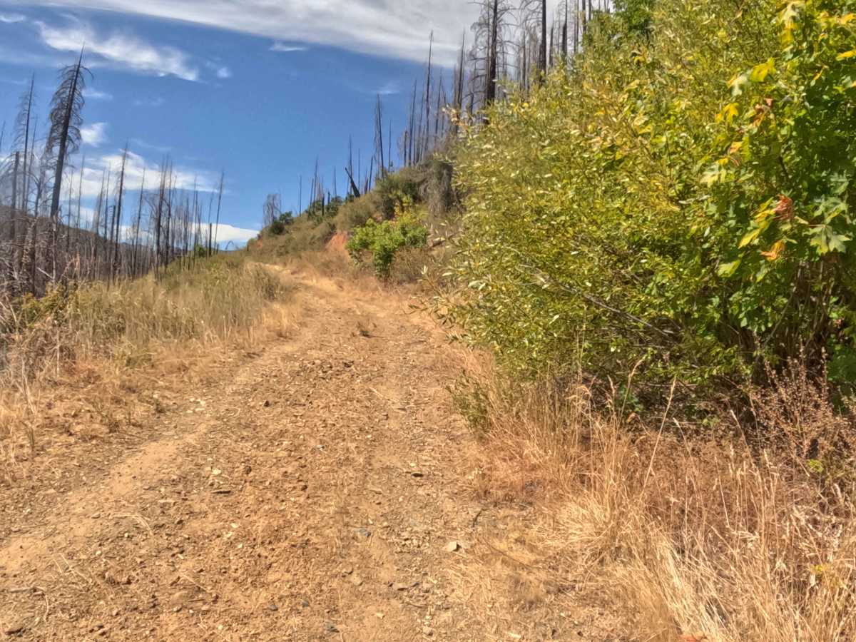
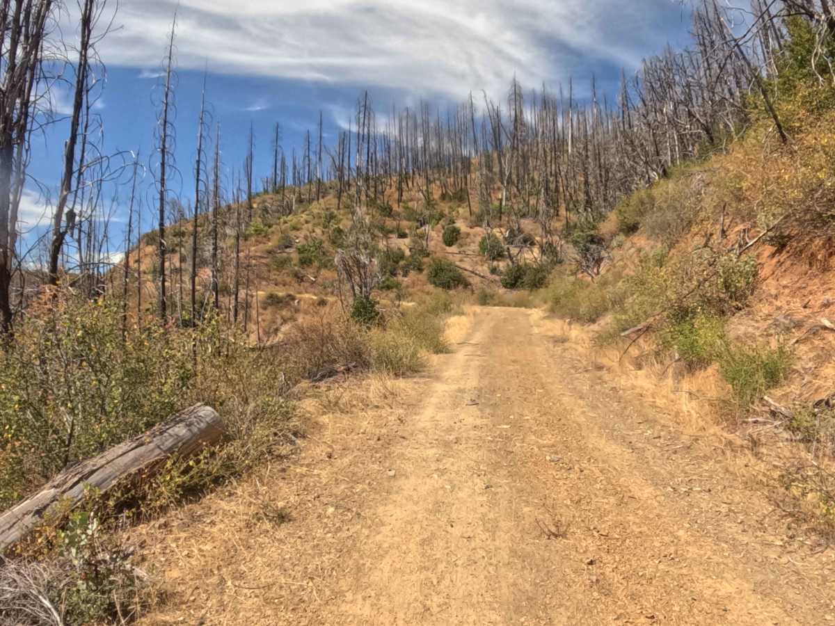
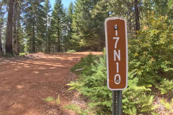
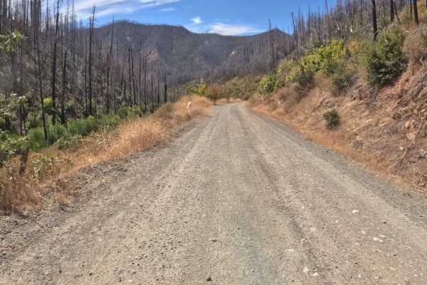
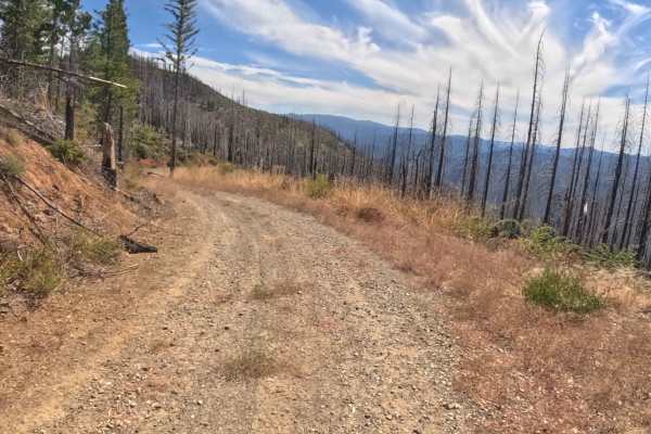
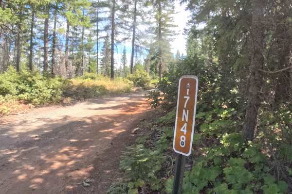
Branching directly off Slater Butte Road near 17N14, Forest Service Road 17N15—also known as Baker—serves as a scenic backcountry passage carving directly across the mountainside. Managed by the Klamath National Forest, the route traverses a stark but striking landscape still actively recovering from the 2020 Slater Fire. Towering, blackened timber snags rise above a regenerating understory of low brush, which opens up sweeping, unobstructed views of the surrounding valleys and ridges. Rated a manageable 2, the trail features a firm, hard-packed gravel and dirt surface that remains relatively flat, maintaining a mellow climb of less than five percent. Outdoor explorers and sightseers frequent this shelf road to take in the sprawling vistas and navigate deeper into the recovering woodland terrain without tackling technical off-road hurdles.
Difficulty
Earning a moderate 2 rating, this mountainside shelf road provides a highly approachable drive that requires basic situational awareness rather than advanced vehicle clearance. The surface consists of reliable, hard-packed gravel and dirt, though travelers will encounter occasional shallow rain ruts and minor water bars scattered along the path. While these small bumps are easily managed by maintaining a steady, controlled speed, the route's continuous side-hill exposure means drivers must stay engaged with the road edge. Fortunately, the lack of dense tree canopy through the burn scar creates wide-open sight lines, making it incredibly simple to spot oncoming traffic and ensuring a relaxed, straightforward journey along the mountain contour.