Trail Overview
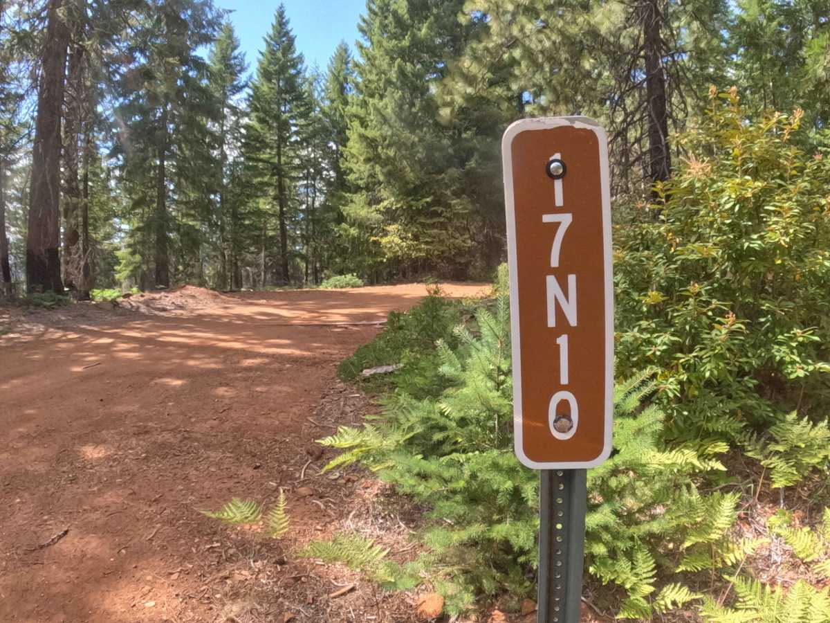
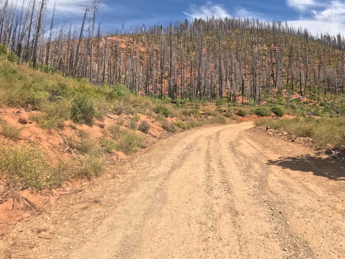
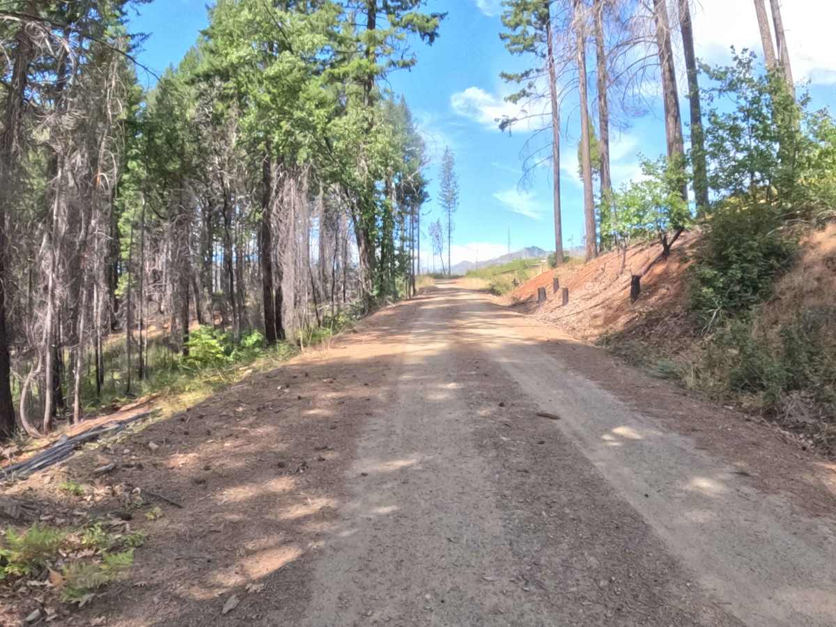
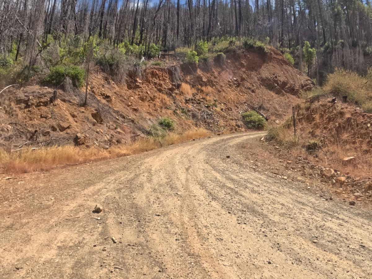
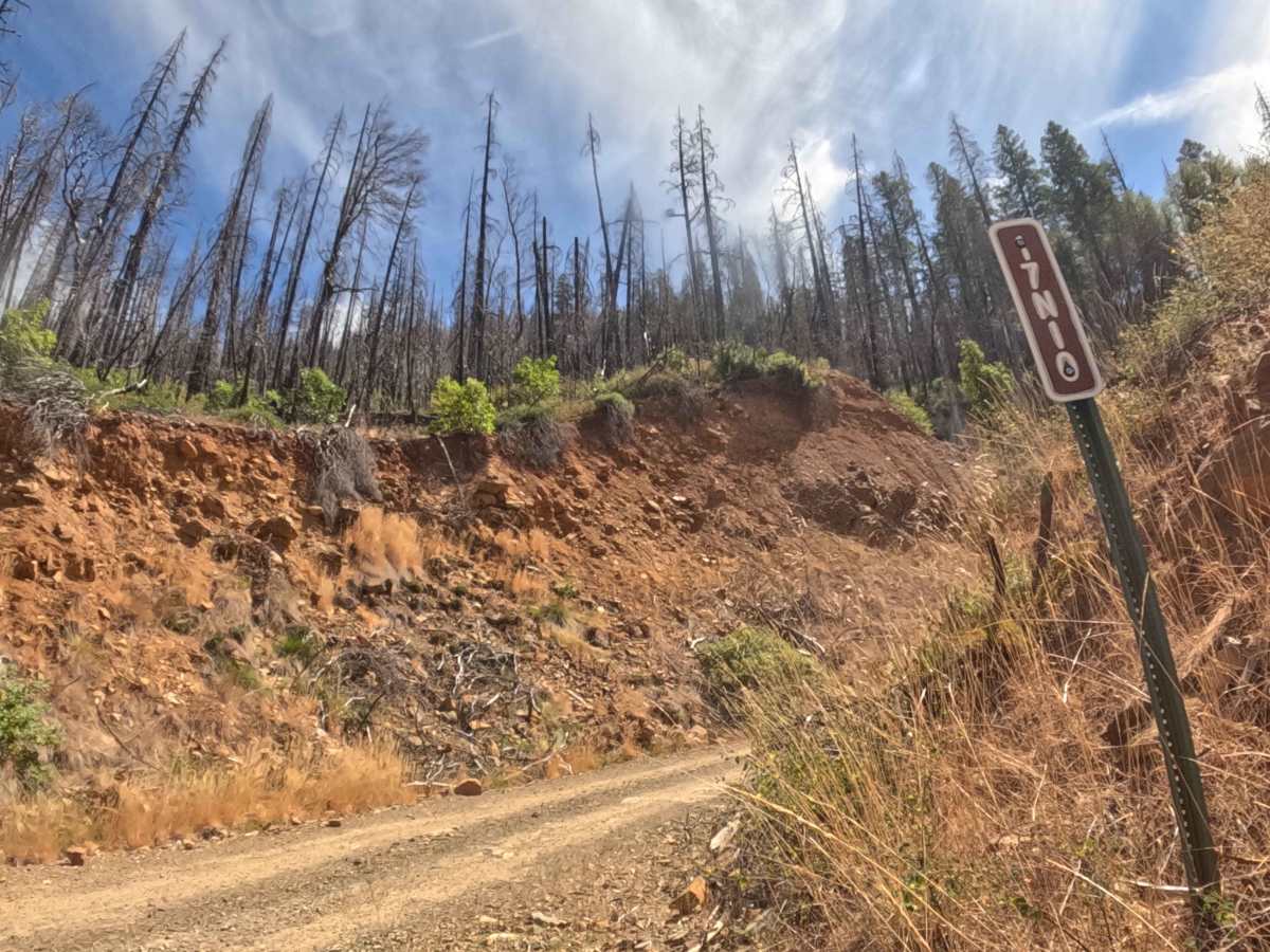
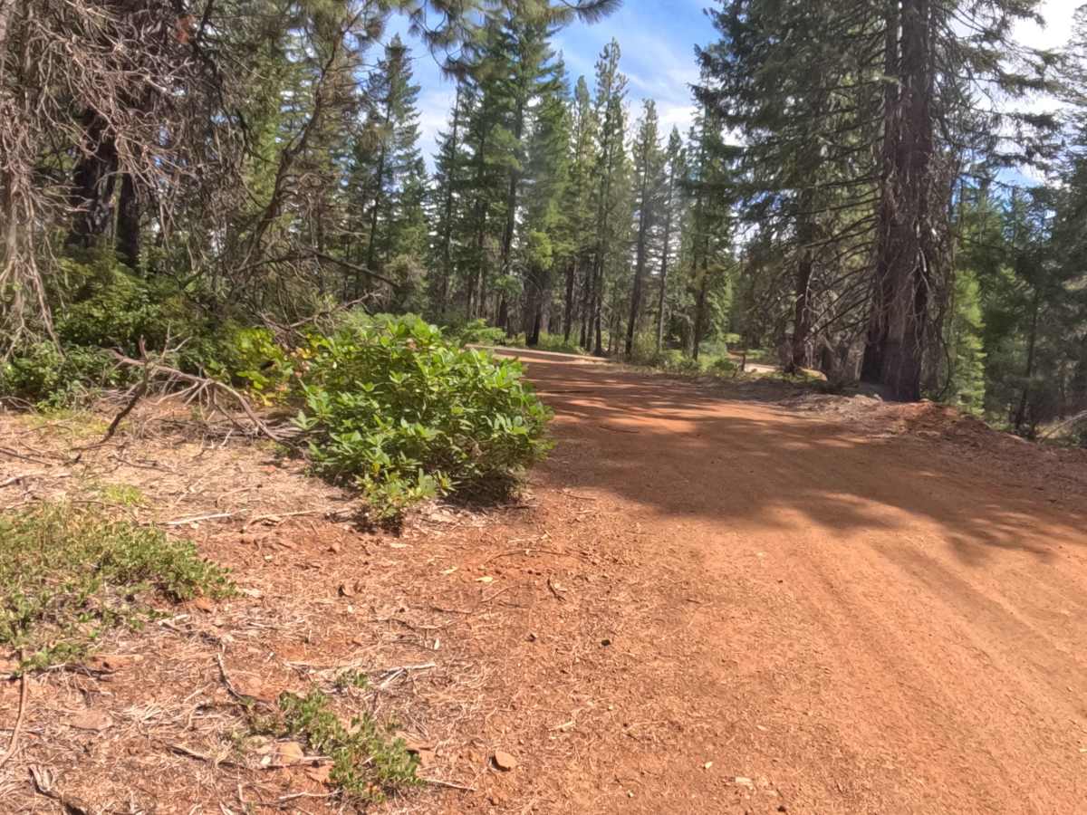
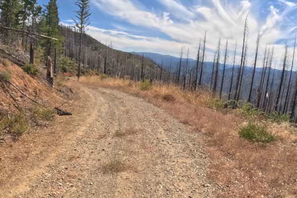
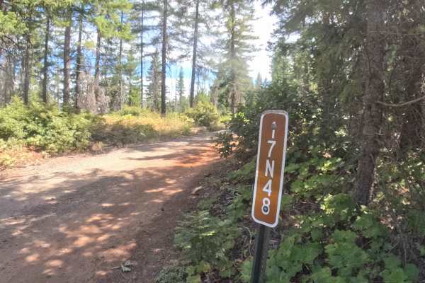
Forest Service Road 17N10, widely recognized as Applegate Flat, serves as a prominent mountain access route that climbs steadily toward the region's higher elevations. Situated within the Klamath National Forest, the journey begins by cutting through an open, sun-exposed landscape recovering from the 2020 Slater Fire, where towering blackened snags contrast with vibrant, low-growing brush. As the road continues its upward push, the scenery transitions beautifully into dense, untouched green forest canopies that escaped the blaze. Earning a manageable difficulty rating of 2, the path features a firm, hard-packed gravel foundation that requires navigating several steep, looping switchbacks. Outdoor enthusiasts frequently tackle this climb as it serves as the primary thoroughfare linking to the scenic Slater Butte Lookout and other remote upper-elevation tracks.
Difficulty
Rated a moderate 2 on the technical scale, this mountain route requires steady focus and reliable momentum to conquer its continuous climb. The hard-packed gravel surface is generally dependable, but drivers will encounter scattered loose rocks, minor rain ruts, and subtle water bars that can disrupt traction, especially on the steeper switchbacks. While the lower, fire-scarred sections offer clear sightlines around corners, the dense timber near the summit demands cautious speeds and heightened awareness for oncoming vehicles. Ultimately, the trail avoids major technical off-road hurdles, making it a highly accessible yet engaging drive for those maintaining controlled, deliberate speeds up the grade.