Trail Overview
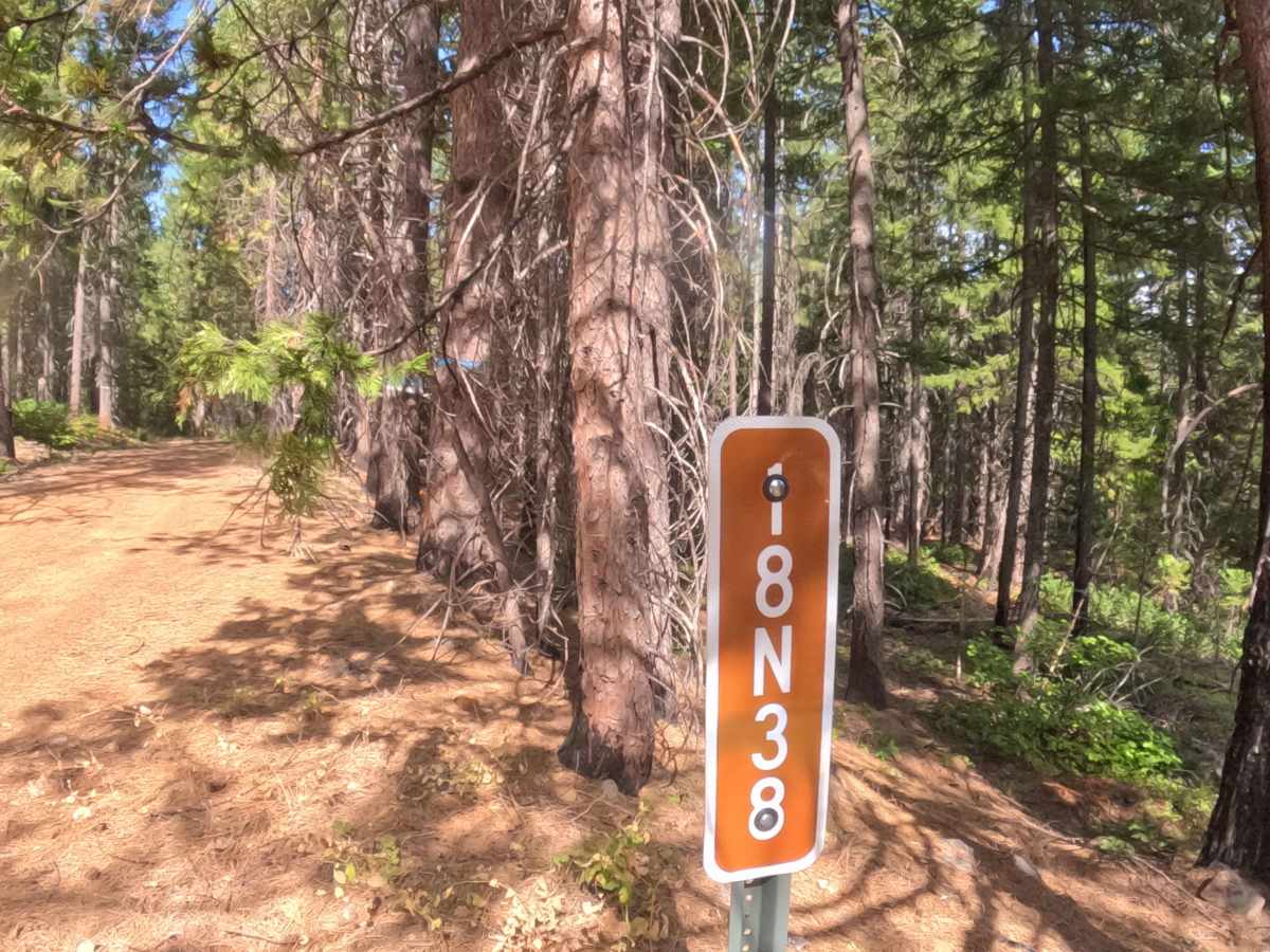
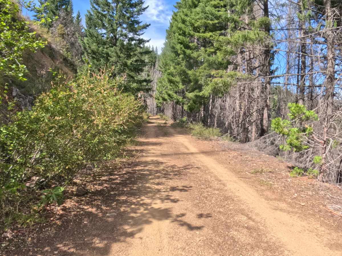
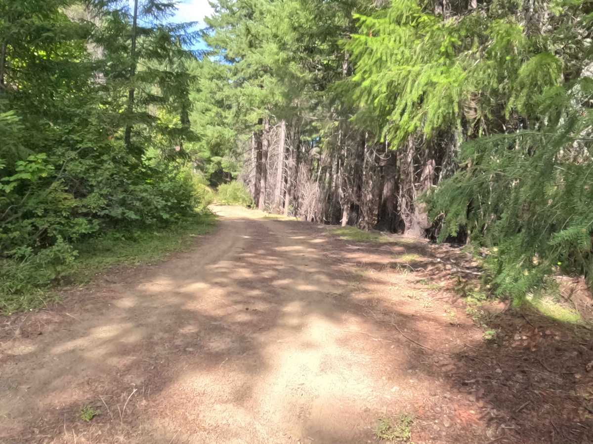
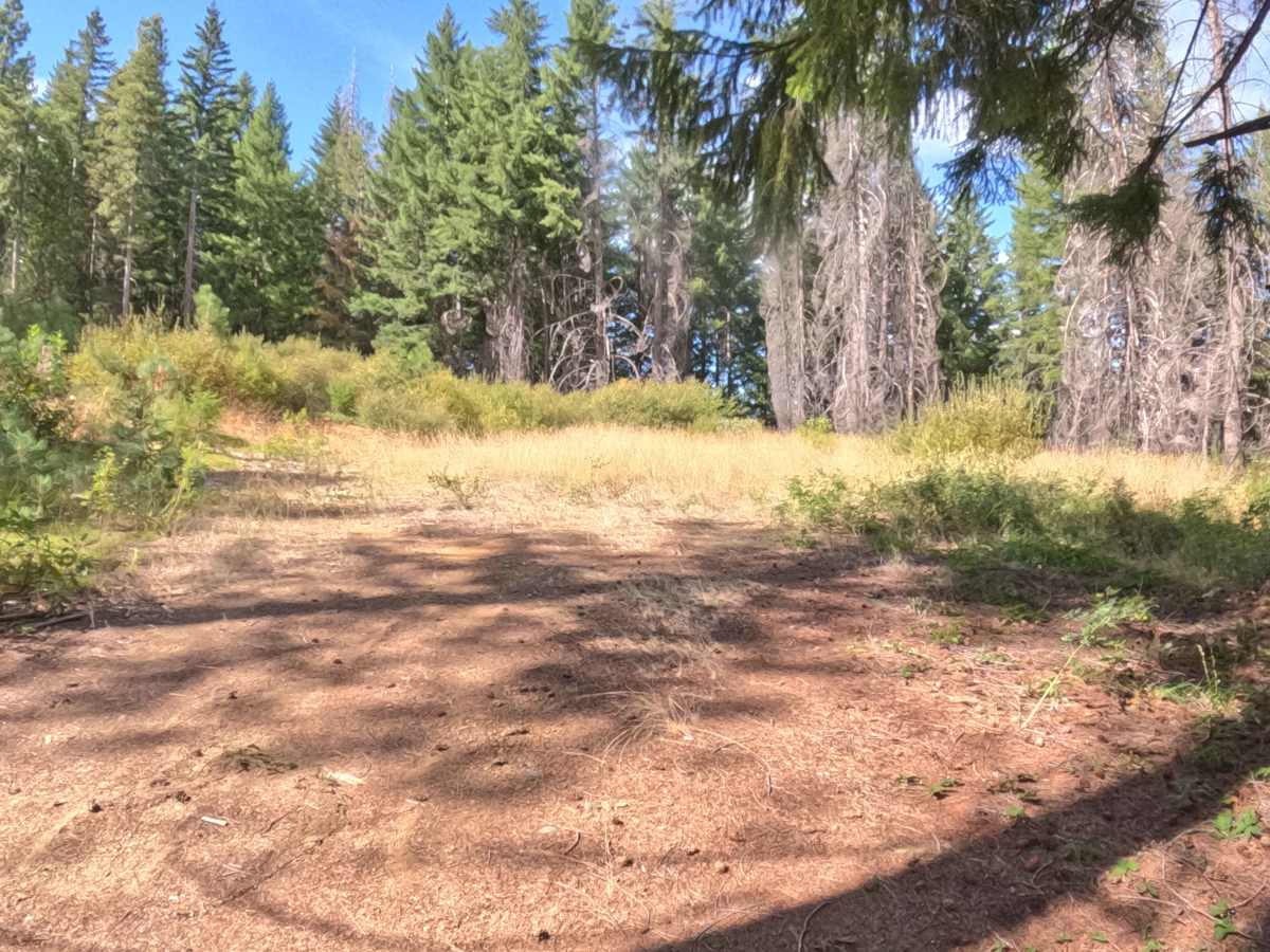
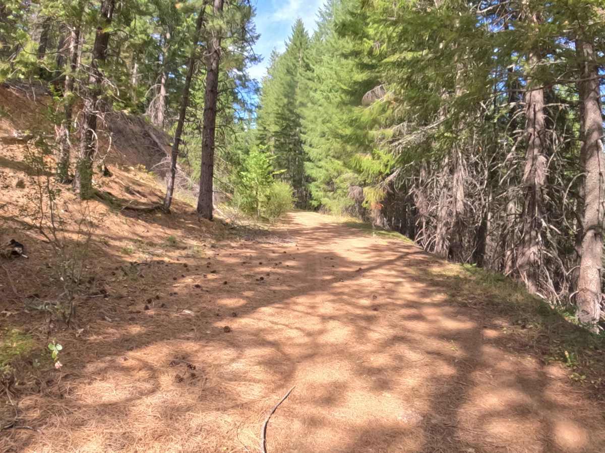
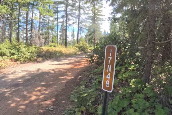
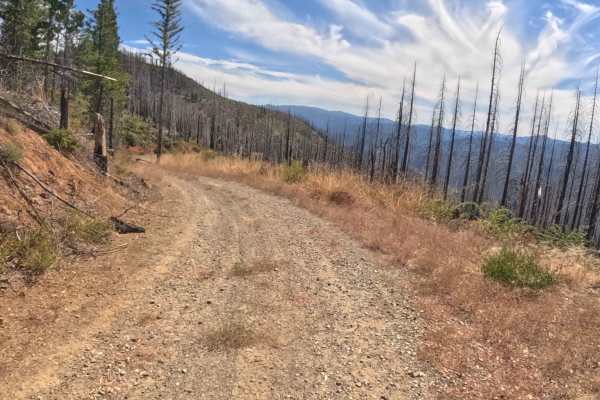
Nestled deep within the scenic Klamath National Forest, Forest Service Road 18N38, affectionately known as Franks Folly, is a peaceful out-and-back spur branching directly off a wider primary forest access road. The route meanders beautifully through a serene, mixed-conifer environment that shows distinct signs of historic wildfire recovery, perfectly blending standing charred timber with a vibrantly regenerating green understory. Outdoor enthusiasts frequently venture down this tranquil track to discover secluded dispersed camping locations, engage in quiet wildlife viewing, or simply enjoy a shaded detour away from the busier main thoroughfares. The pathway gently snakes along a hillside under a refreshing canopy of dappled sunlight, ultimately culminating in a spacious turnaround area that effortlessly accommodates a safe about-face before returning to the primary route.
Difficulty
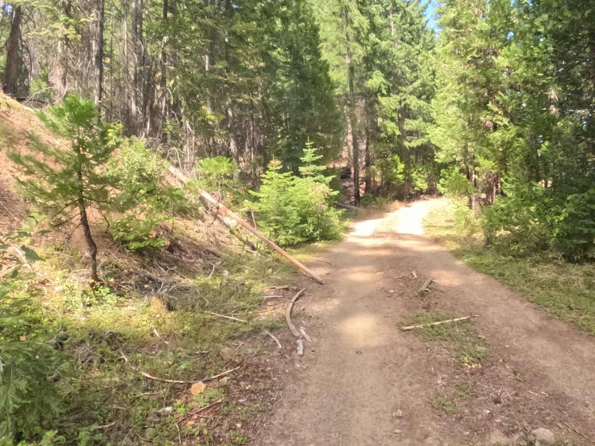
Earning a mild 2 out of 10 difficulty rating, Franks Folly is characterized by a mostly smooth, hard-packed dirt and gravel surface that presents minimal challenges. While the journey remains pleasantly straightforward, navigating this spur requires keeping a watchful eye out for scattered, basketball-sized rocks and the occasional downed branch or leaning sapling partially encroaching upon the pathway. These minor, scattered obstacles demand only basic maneuvering and mindful steering to bypass safely. The firmly compacted terrain provides excellent traction throughout the drive, and the complete absence of deep, challenging ruts or steep, off-camber shelf roads makes this an inviting, stress-free exploration for anyone seeking a relaxed woodland drive.

 Offroad