Trail Overview
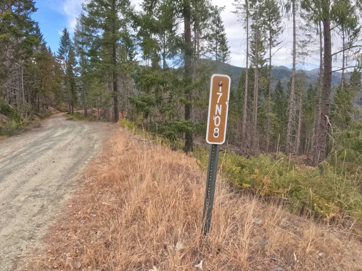
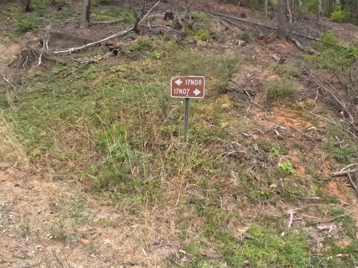
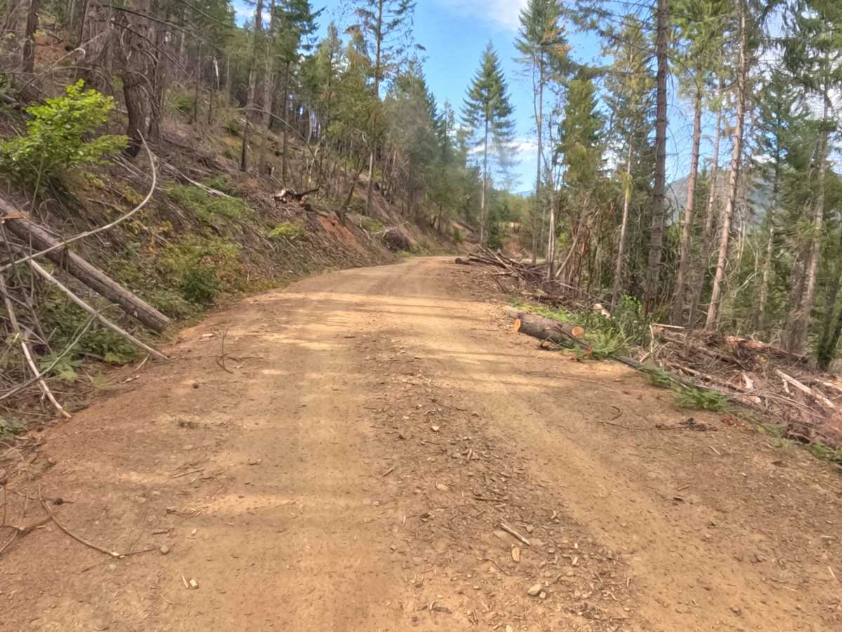
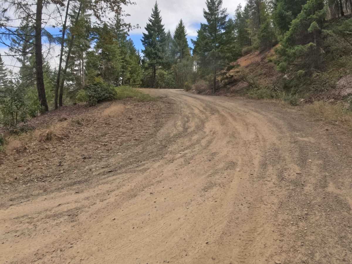
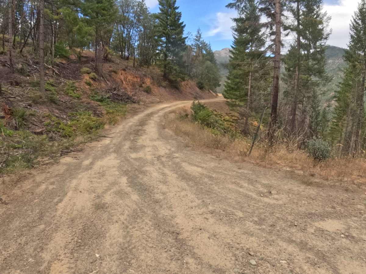
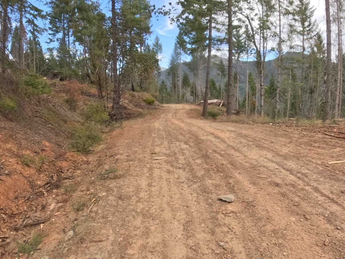
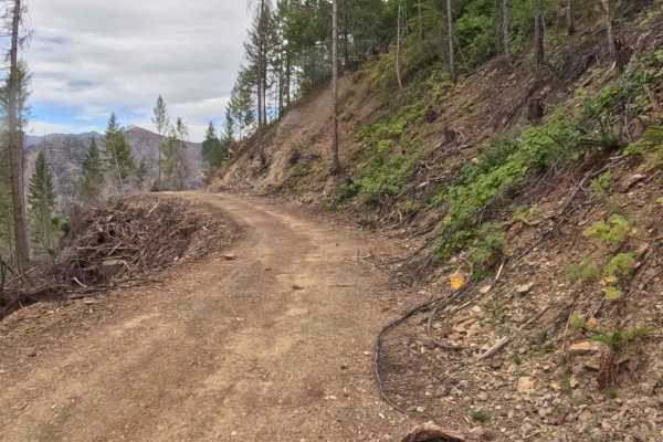
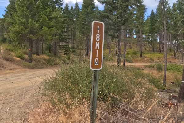
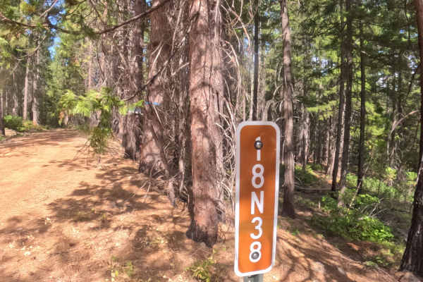
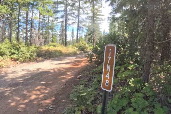
Forest Service Road 17N08, locally known as the Shinar Tie, functions as a highly convenient and flat backcountry connector seamlessly linking FS17N07 with the adjacent FS18N10. Managed by the Klamath National Forest, the route meanders gently across a picturesque mountainside characterized by towering evergreen timber and heavily thinned, recently logged shoulders. These forestry operations have vastly opened up the trail's margins, allowing for fantastic visibility and bright, sunlit travel through the serene woodland environment. Rated an incredibly gentle 1, this welcoming passage features a smooth, hard-packed gravel and dirt surface that remains wonderfully level from end to end. Backcountry explorers and sightseers frequently utilize this completely straightforward pathway to bypass rougher terrain and effortlessly bridge the gap between deeper, more remote tracks in the surrounding mountain network.
Difficulty
Earning a highly accessible difficulty rating of 1, this smooth connector road presents an exceptionally relaxed and effortless drive for virtually any passing traveler. The pathway is defined by a firm, well-maintained dirt and gravel foundation that completely avoids steep grades, off-camber washouts, or deep rain ruts. Because the flanking vegetation has been recently harvested and cleared, navigators benefit from wide, unobstructed sightlines around every gentle bend, making it incredibly simple to spot and safely yield to any oncoming traffic. With absolutely no embedded boulders, downed timber, or sudden elevation shifts to contend with, this passage delivers a reliably tranquil and completely stress-free transit across the forested hillside.