Trail Overview
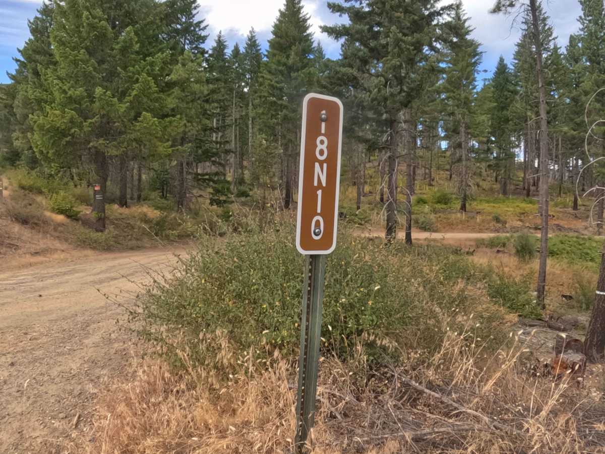
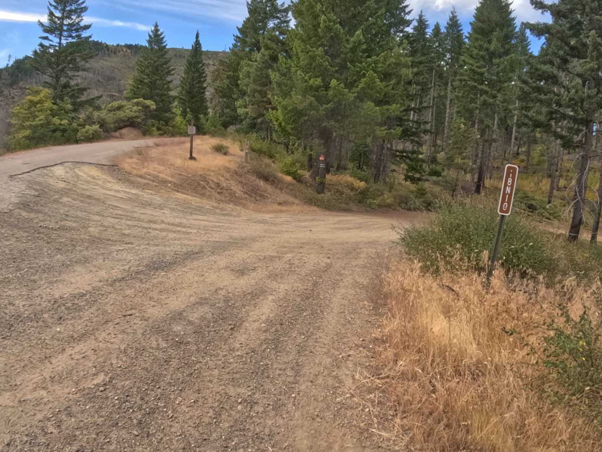
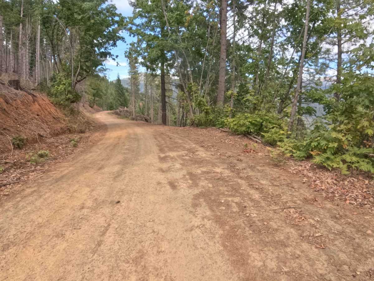
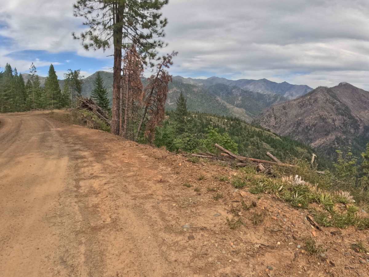
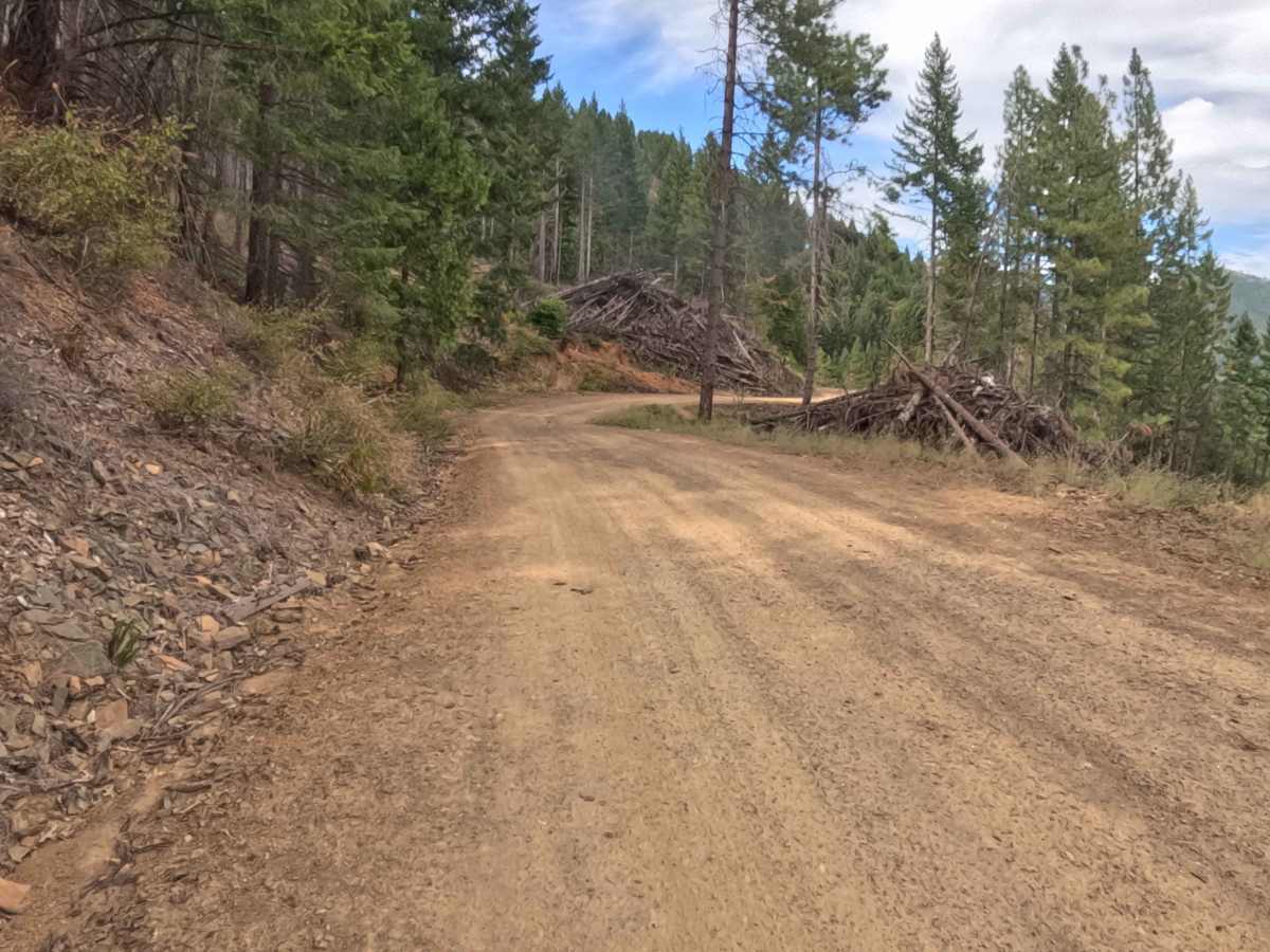
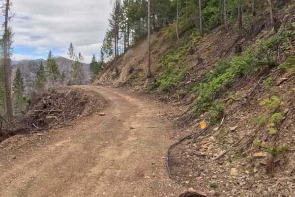
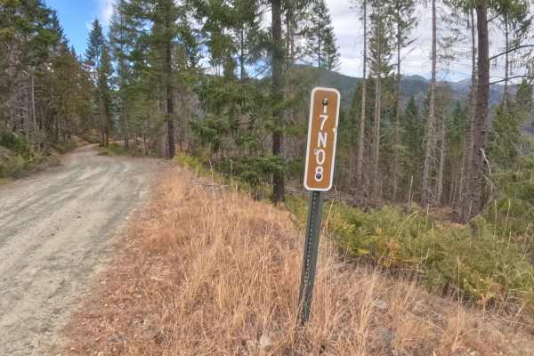
Branching directly off the established corridor of Thompson Ridge Road (Forest Route 19N01), Forest Service Road 18N10—locally known as Middle West Thompson—serves as a highly convenient connector route seamlessly linking travelers to FS 17N10. Managed by the Klamath National Forest, this pathway cuts across a prominent mountainside, showcasing a beautiful blend of deep, shaded evergreen canopy interspersed with recently logged clearings. These timber harvest sections with visible slash piles gracefully open up the landscape, revealing sweeping, long-distance views across the rugged surrounding valleys. This well-defined, graded gravel connector road offers a reliably smooth transit, easily earning a highly approachable difficulty rating of 1. Outdoor explorers and backcountry travelers frequently utilize this scenic passage to efficiently bridge adjacent forest arteries, explore secondary routes like the nearby 17N01Y cutoff, and enjoy the expansive vistas created by the recent forest management efforts.
Difficulty
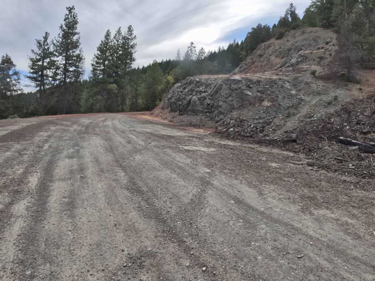
Assigned an effortless rating of 1 on the technical scale, this straightforward mountainside route presents highly manageable driving conditions entirely free of daunting obstacles. The pathway features a firm, well-maintained dirt and gravel surface that remains reliably smooth, completely avoiding deep rain ruts, off-camber washouts, or embedded boulders. With a consistently mild grade and excellent visibility through the open, logged clearings, navigators can anticipate a thoroughly relaxed drive. By maintaining a sensible, controlled momentum, travelers can comfortably traverse this connecting ridge without the need for specialized off-road hardware or advanced maneuvering techniques.

 Offroad