Trail Overview
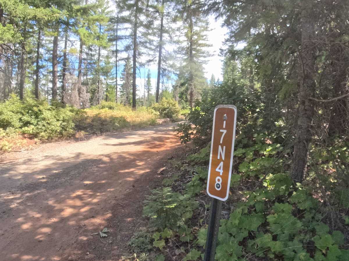
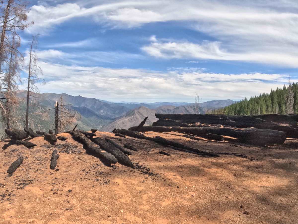
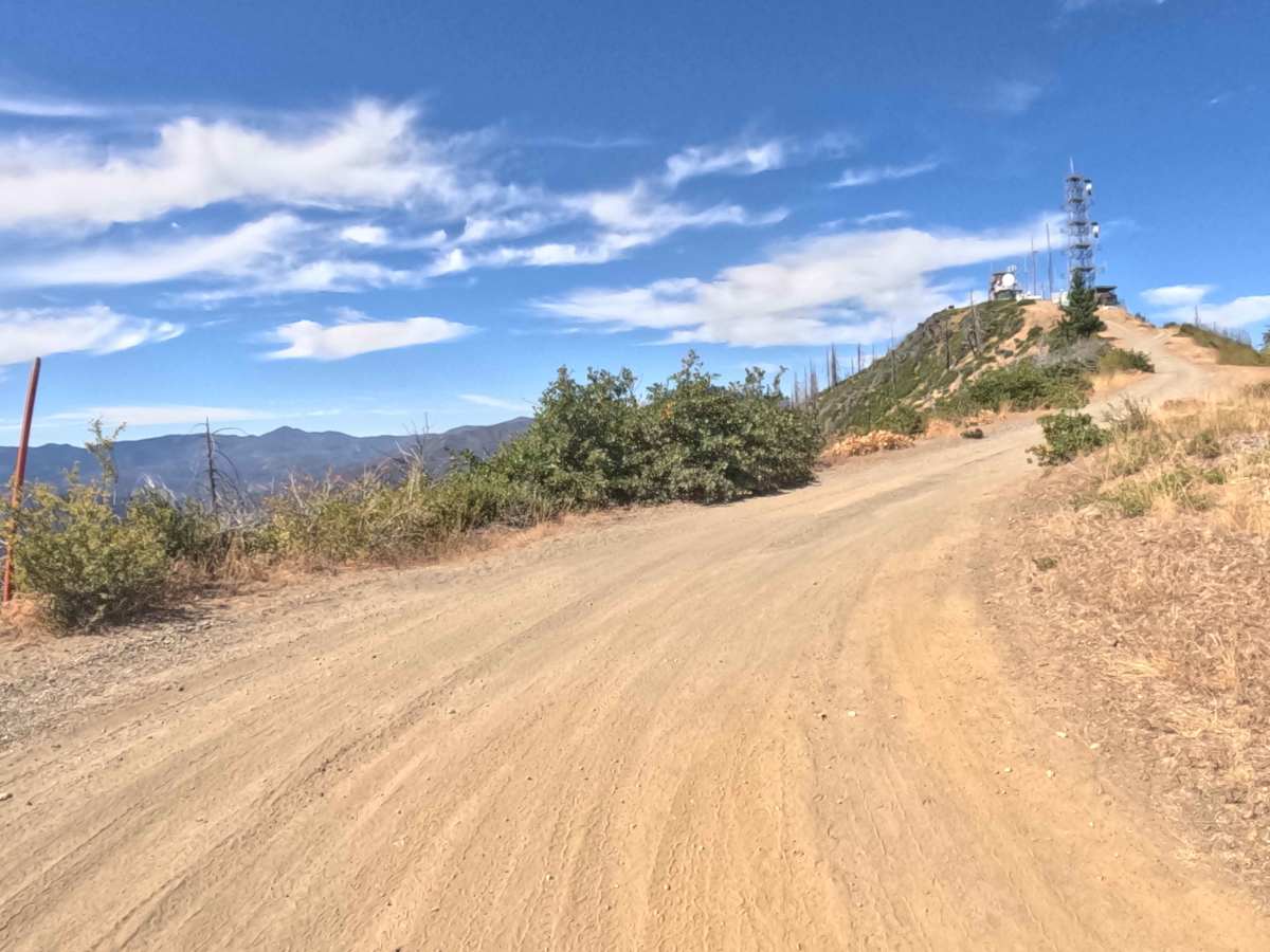
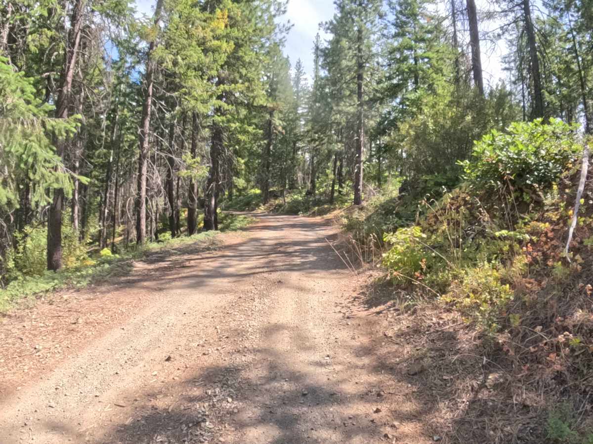
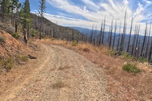
FS 17N48, widely known as the Slater Butte Lookout Road, is a dedicated out-and-back spur climbing right off Forest Service Road 17N10 (Applegate Flat). This route is all about the destination, guiding visitors straight to the summit for sweeping, panoramic views of the Klamath National Forest. The drive starts out weaving through stands of thick, mature evergreens before breaking out onto exposed, wide-open ridgelines recovering from the 2020 Slater Fire. It features a hard-packed dirt and gravel surface with a steady, steep climb that earns a moderate difficulty rating of 2. Since it is the primary vehicle access to the prominent mountain peak, expect to occasionally share the path with other sightseers heading up for the incredible scenery.
Difficulty
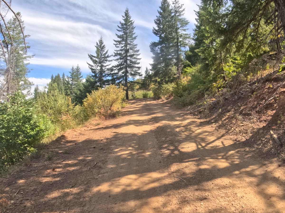
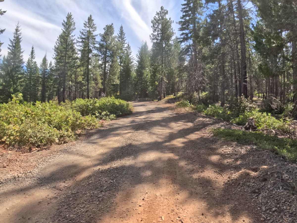
This route earns its level 2 rating primarily due to the continuous, steep climb up to the summit. Navigators must tackle consistent uphill grades ranging from five to ten percent on a surface of hard-packed gravel that frequently gives way to loose dirt and small, embedded rocks. Traction can get a bit slippery on these steeper pitches, especially when rounding the tight hillside corners. The key to a safe drive is maintaining a slow, steady momentum while staying alert for oncoming downhill traffic on the narrower upper sections.

 Offroad