Trail Overview
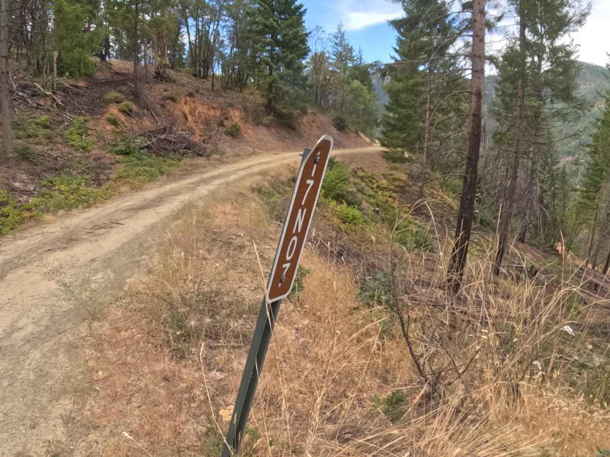
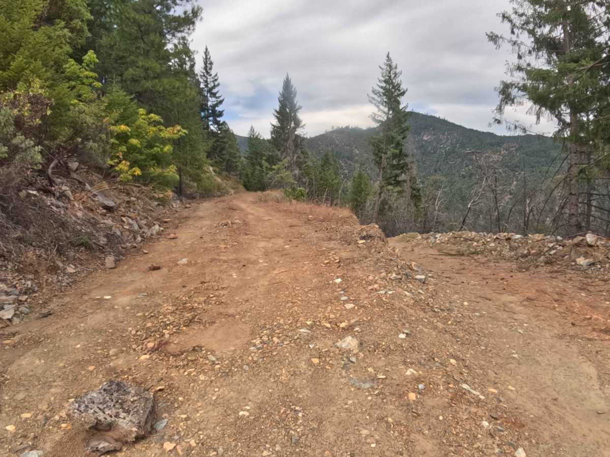
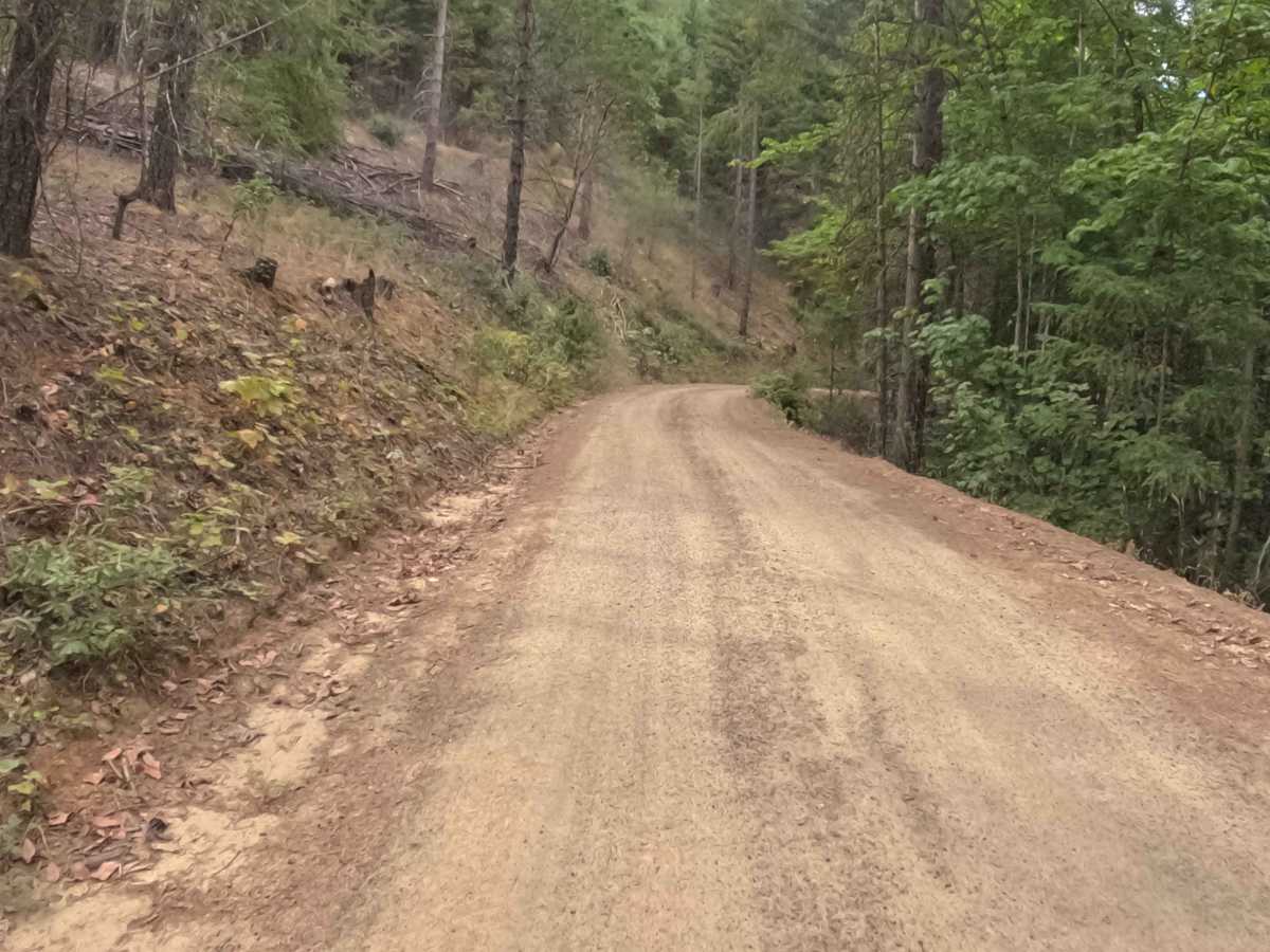
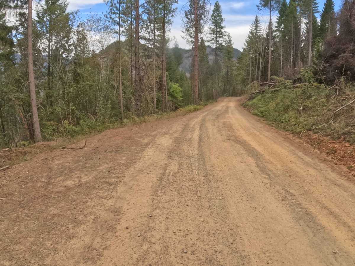
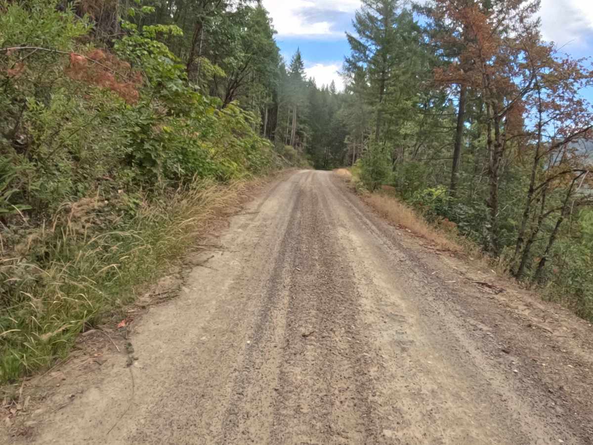
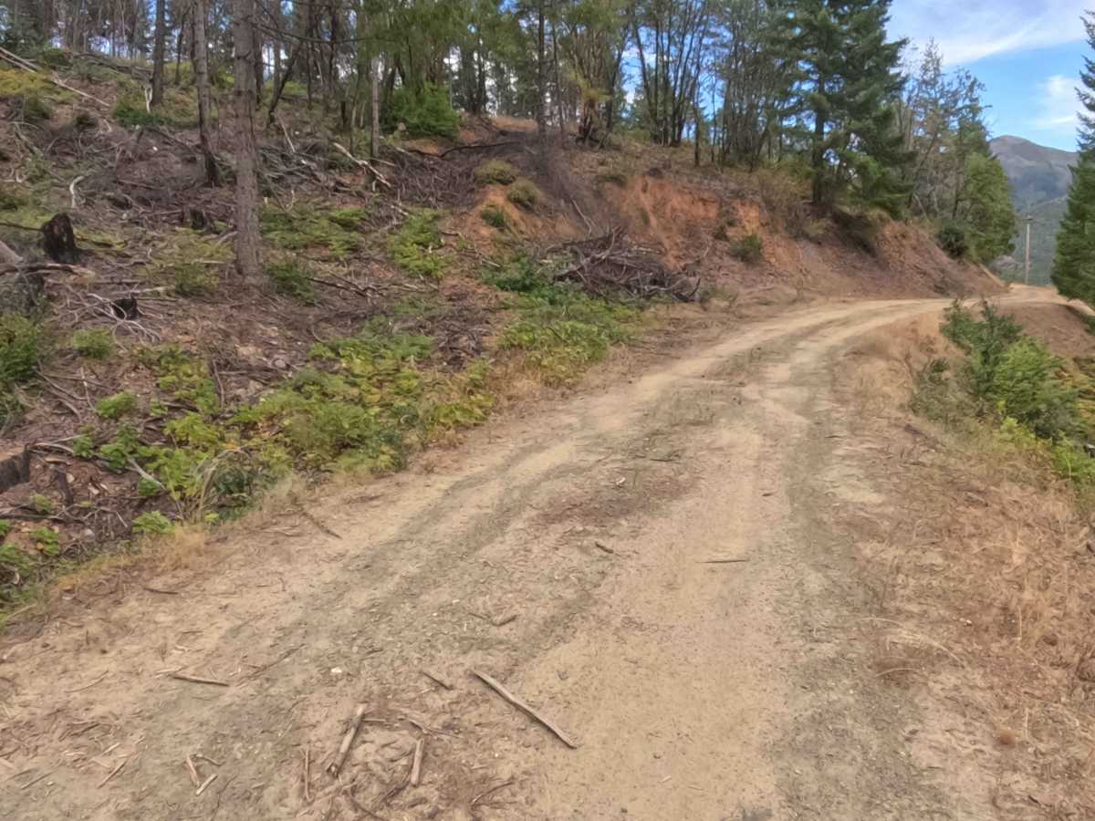
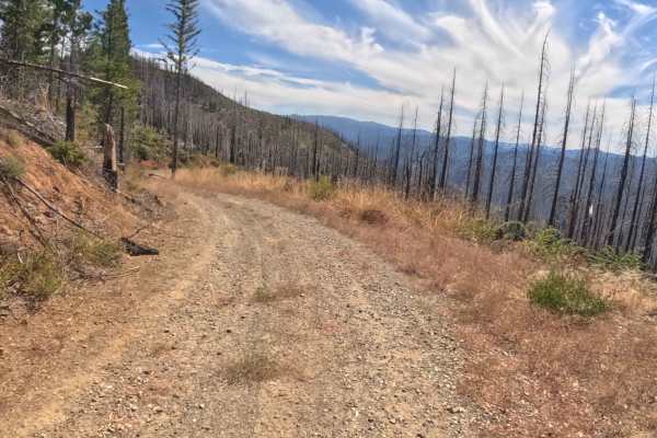
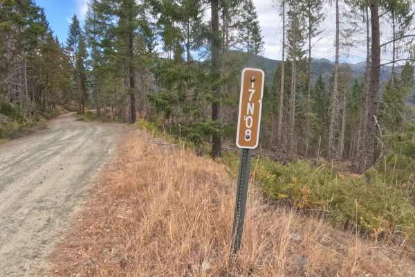
Starting straight off Forest Service Road 18N01, FS17N07—also known as Fearless—functions as a dedicated out-and-back trail carving across the steep mountain contours of the Klamath National Forest. The journey snakes through a captivating mix of dense, mature evergreen stands and large swaths of recently logged terrain. These forestry operations have dramatically opened up the mountainside, treating travelers to sweeping, unobstructed panoramas of the deep valleys and distant peaks below. Earning a moderate difficulty rating of 2, the pathway is defined by a firm, hard-packed dirt and gravel surface heavily bonded by natural clay, which provides excellent traction. The route descends steadily throughout its length, becoming noticeably steeper near its origin, and finally concludes where an impassable cluster of downed timber barricades the track.
Difficulty
Rated a solid 2 on the technical scale, this out-and-back shelf road demands continuous driver focus due to its steady downhill grade and frequent blind corners. While the clay-rich soil creates a very firm, reliable foundation, the upper, more exposed portions of the trail are less frequently traveled and present minor challenges. Navigators will encounter scattered loose debris and small rocks that have tumbled down from the high cut-banks, which can cause occasional slips or momentarily compromise traction on the steeper descents. By maintaining a conservative speed, staying alert around the tight bends, and steering clear of the scattered scree, travelers can easily manage the descent without needing specialized off-road clearance.

 Offroad