Trail Overview
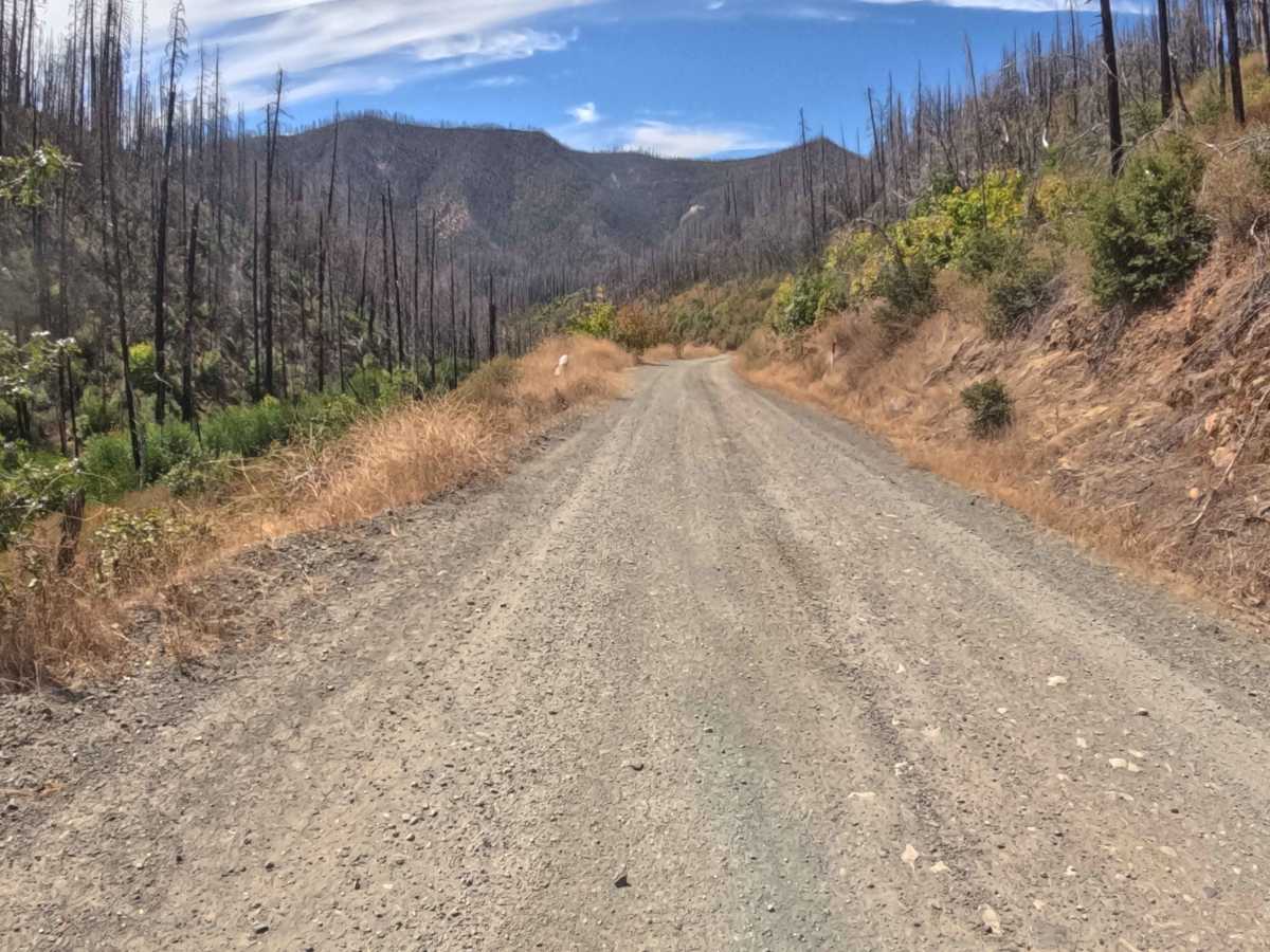
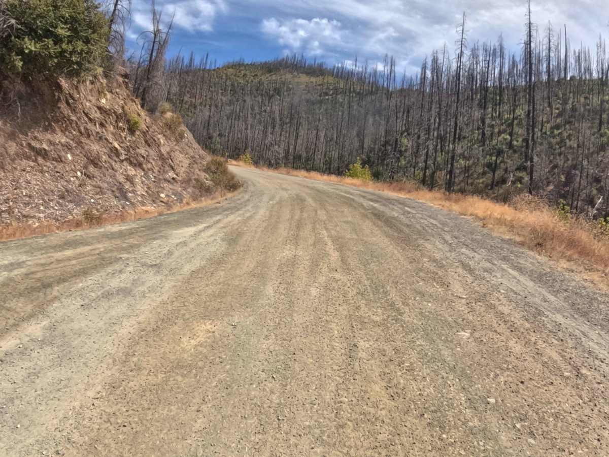
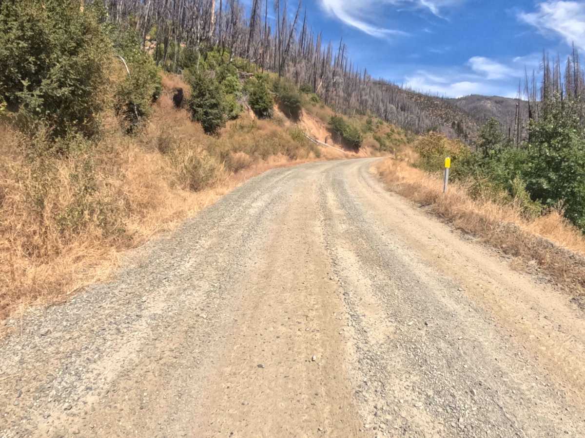
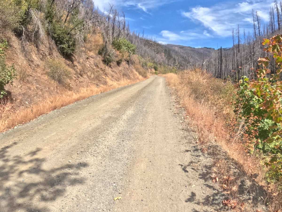
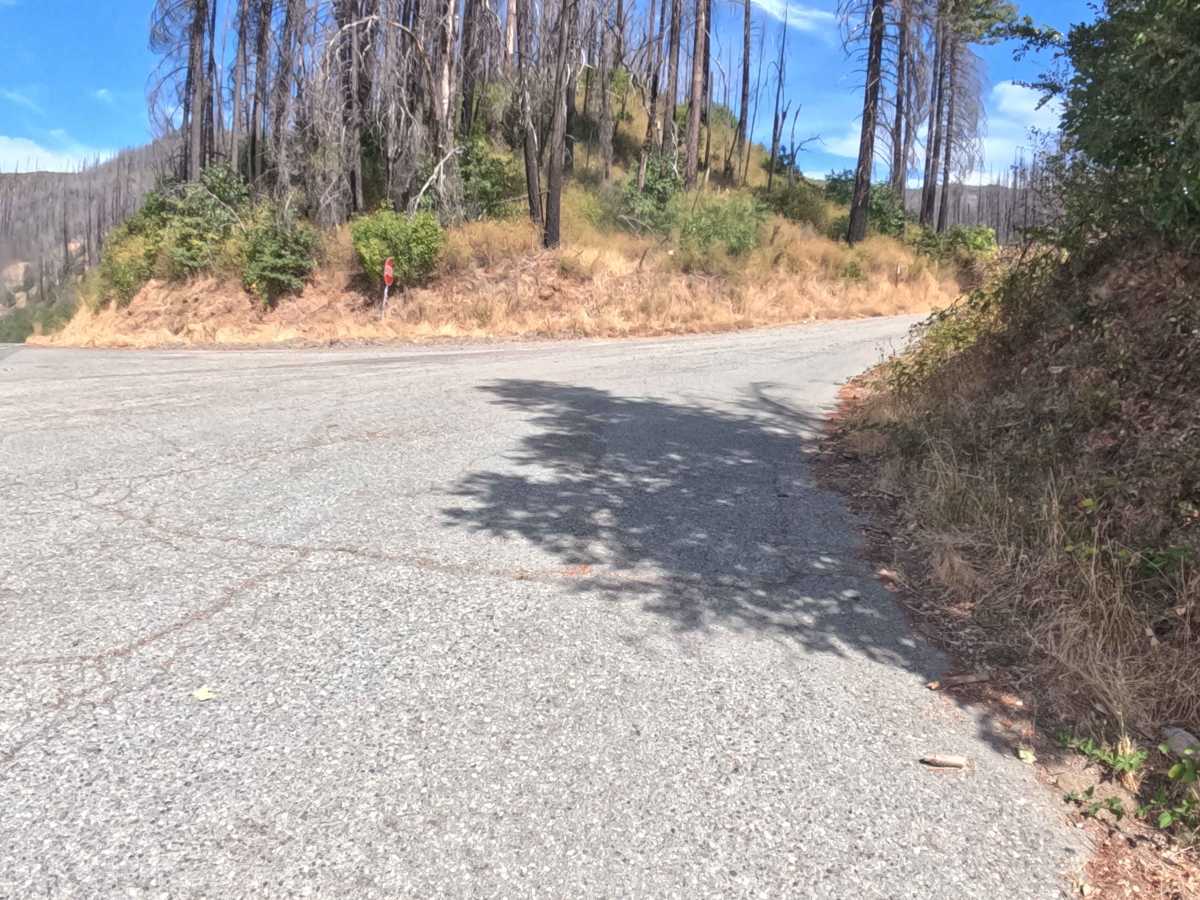
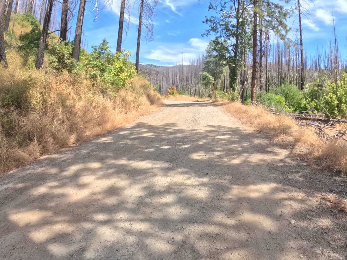
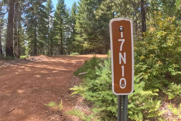
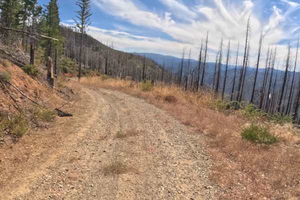
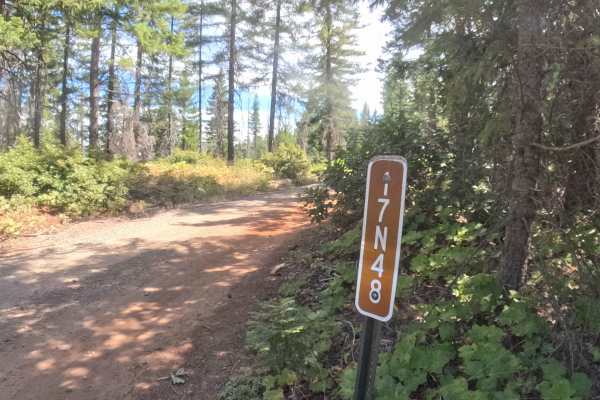
Branching directly off the pavement of Highway 48, Forest Service Road 17N14, widely known as Slater Butte, serves as a delightfully smooth and highly maintained access route leading into the lower mountain foothills. Nestled within the Klamath National Forest, the journey meanders through a picturesque blend of dense, mature evergreens and neighboring landscapes that are steadily regenerating following the 2020 Slater Fire. Characterized as a remarkably pristine, hard-packed gravel and dirt passage, this road earns a gentle difficulty rating of 1. Travelers primarily utilize this welcoming track for local transit, as it provides reliable, year-round access to several rural residences tucked deeper into the timber. With sweeping corners and a very mild, gradual climb, the route offers a tranquil and straightforward drive through the scenic woodland canopy.
Difficulty
Earning a highly approachable rating of 1, this well-kept gravel road presents virtually zero technical challenges, making it an incredibly relaxed drive. The route features a consistently graded, hard-packed surface entirely free of deep ruts, significant rocks, or off-camber obstacles, paired with a very mild upward trajectory. Clear, wide-open sight lines around the bends provide excellent forward visibility, allowing plenty of time to spot and comfortably yield to any oncoming local traffic. By simply maintaining a polite speed and respecting the nearby residential properties, navigators can expect a remarkably smooth and effortless journey.