Trail Overview
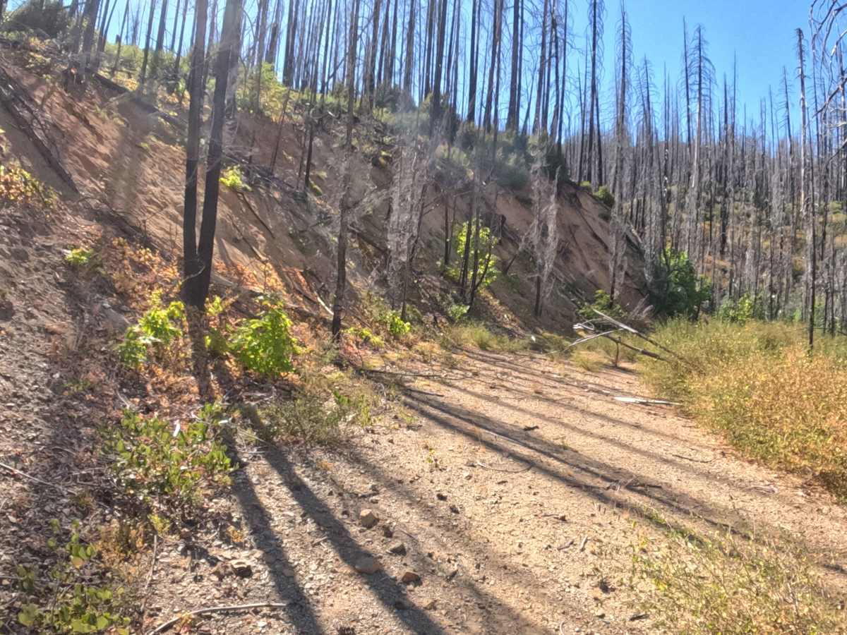
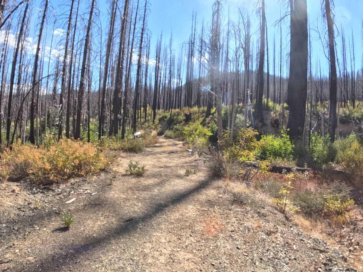
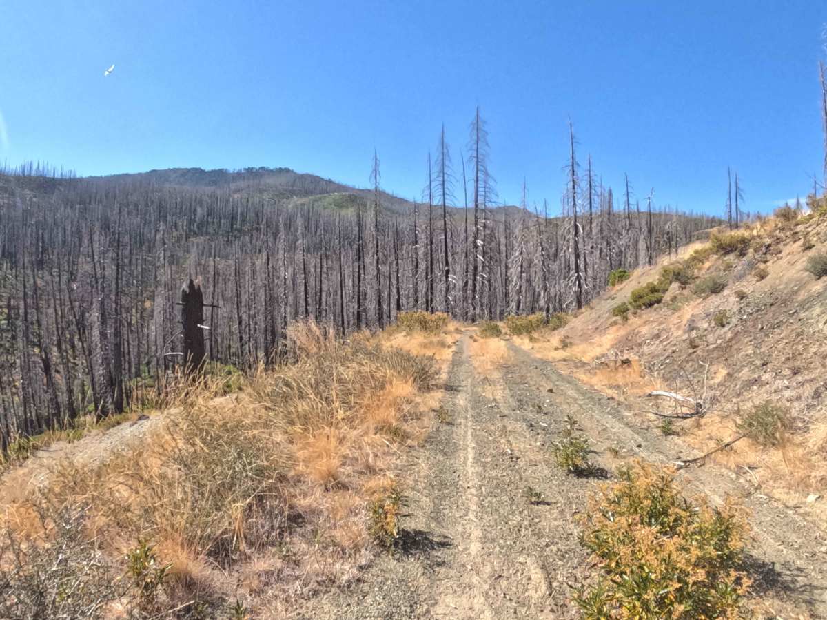
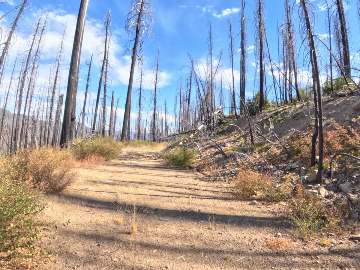
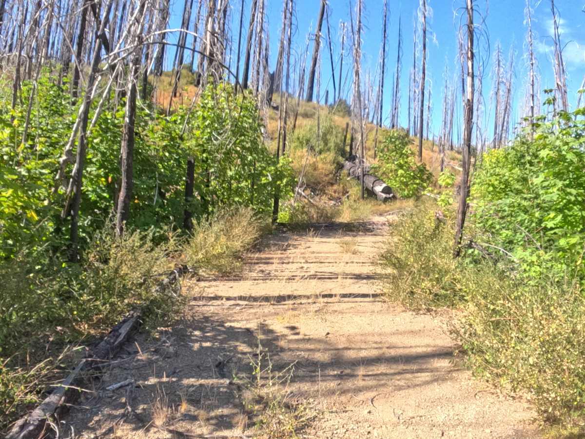
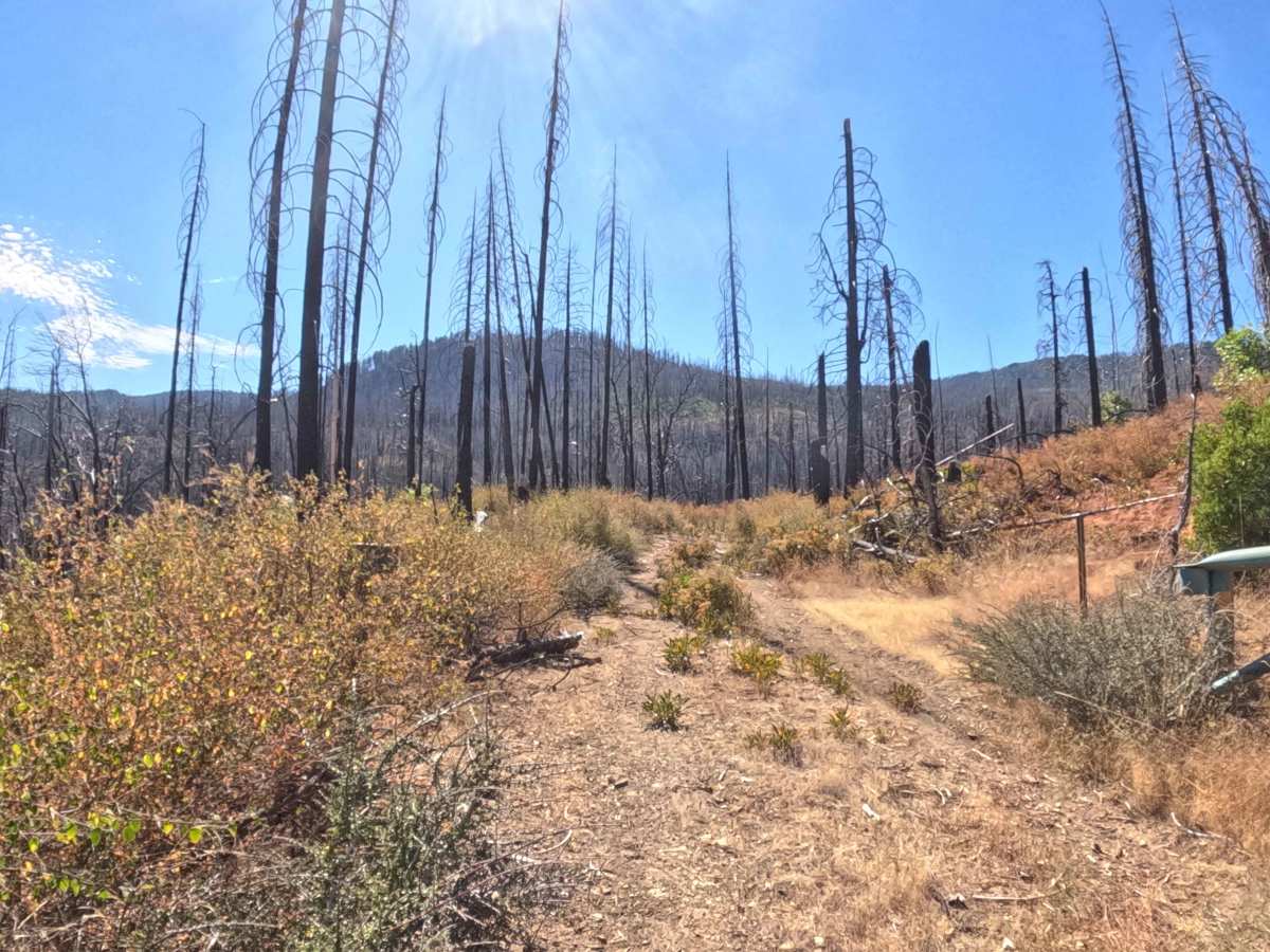
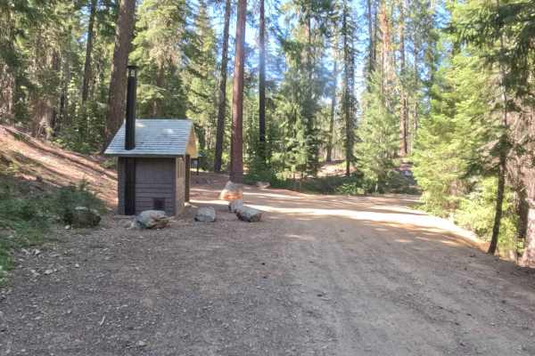
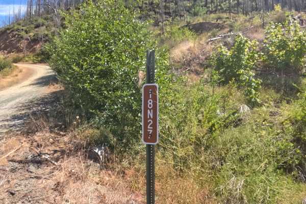
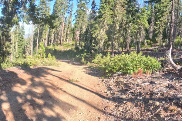
Branching directly off the pavement of Highway 48, Forest Road 18N33—known as the Poker Flat route—serves as a winding, out-and-back dirt track climbing into the backcountry. The corridor ascends through a heavily impacted post-wildfire landscape, where entire hillsides of charred, canopy-less snags loom over thick patches of regenerating green brush. Functioning as a level 2 hard-packed gravel road, the route maintains a steady 3% to 5% uphill grade for the majority of the drive. The layout is relentlessly twisty, featuring dozens of tight, blind corners that demand a careful, controlled pace. Outdoor enthusiasts and day-trippers follow this winding path to reach the Poker Flat Trailhead, which culminates in a beautiful, expansive open meadow that provides a highly scenic destination to park and enjoy the mountain surroundings.
Difficulty
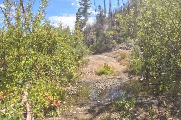
Holding a level 2 rating, this gravel climb begins as a relatively smooth drive but introduces noticeably rougher conditions as it gains elevation. The primary daily hazard is the continuous series of blind corners; staying tight to the right and remaining highly alert for oncoming forest traffic is critical. As the road pushes into its final couple of miles, the grade steepens, and the surface degrades, exposing rough patches of embedded rock that will create a bumpy ride and require minor line-picking to maintain traction. Furthermore, traveling through a devastated burn scar means drivers should anticipate dodging minor erosion ruts and occasionally navigating around fallen snags that have dropped into the margins of the roadbed.