Trail Overview
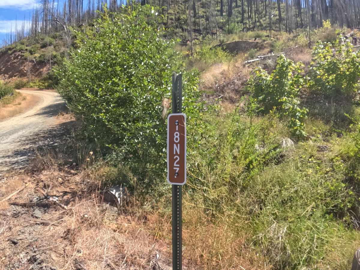
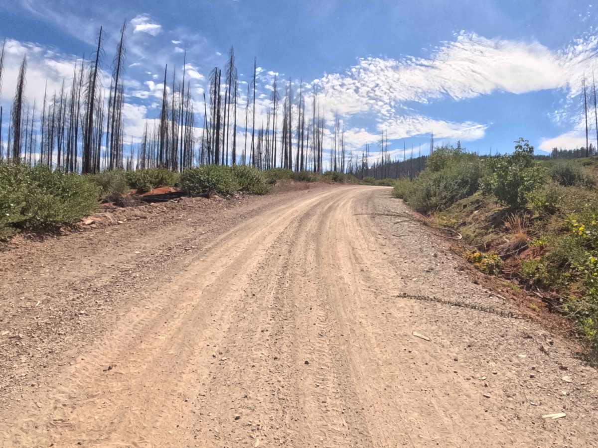
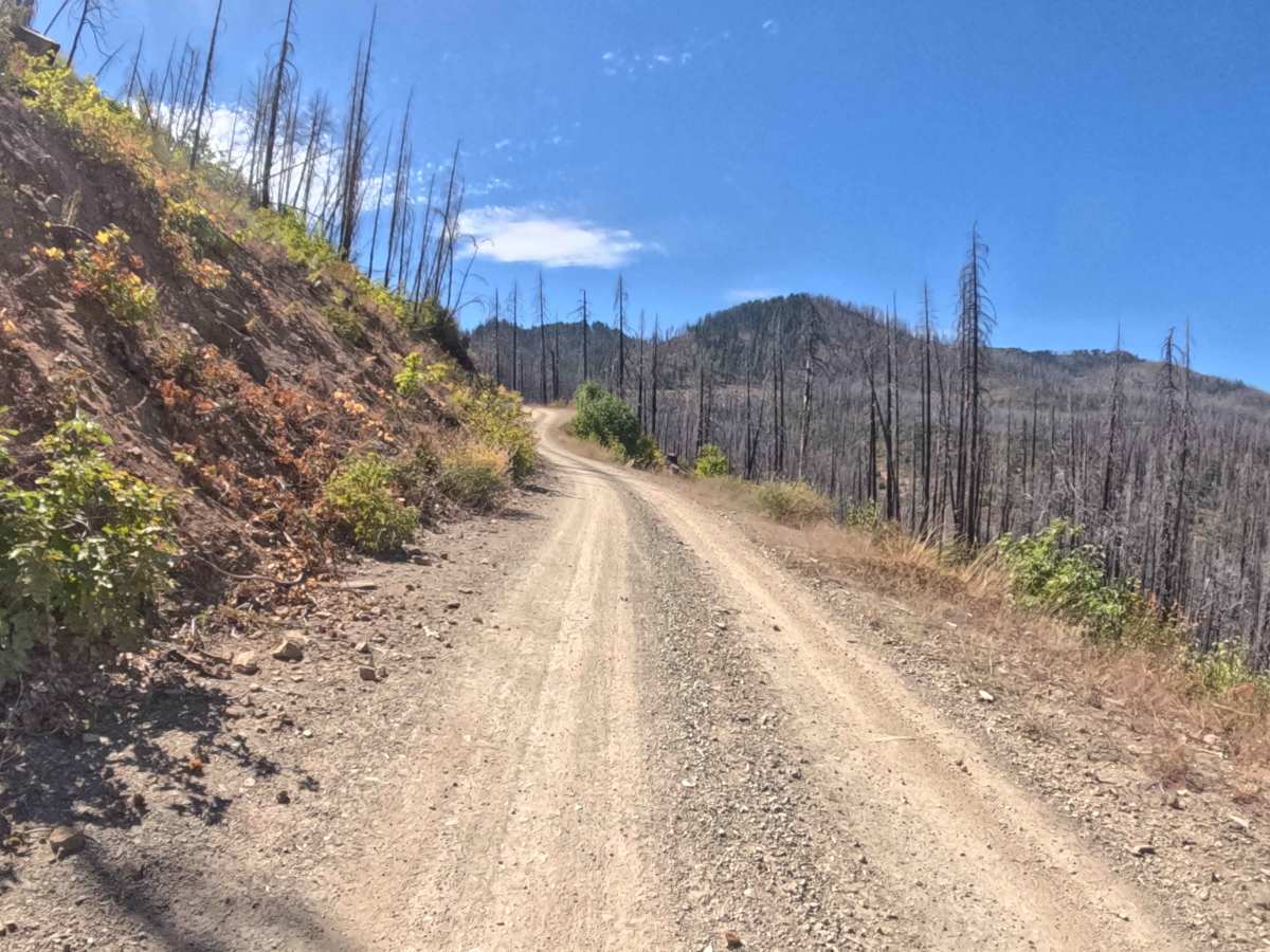
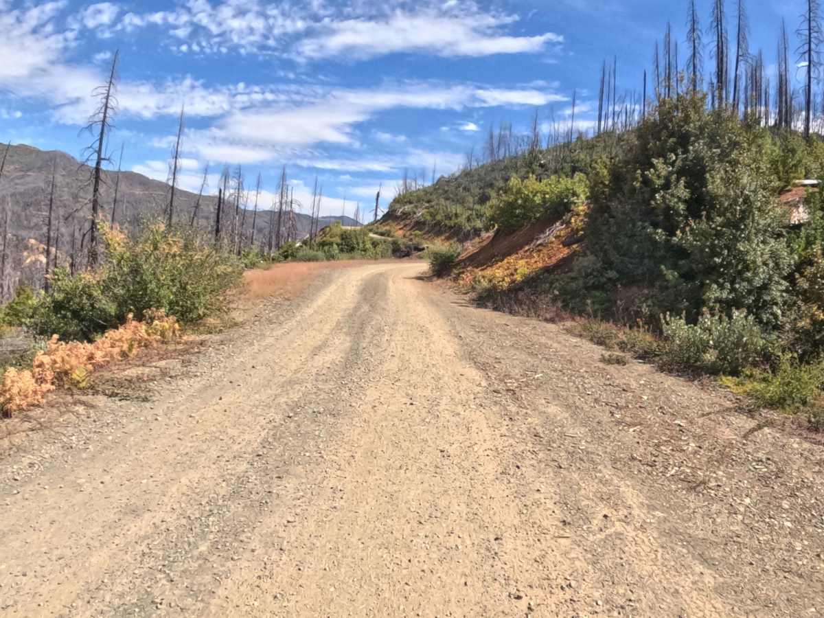
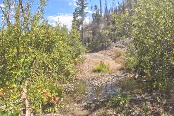
FS 18N27, also known locally as Tom Gray, operates as a wide, well-maintained gravel connector road climbing steadily into the Klamath National Forest. Peeling off from Highway 48, the route ascends through a heavily affected landscape recovering from the 2020 Slater Fire, where thick patches of green regeneration contrast sharply with the towering, charred timber lining the ridges. Earning a mild difficulty rating of 1, the track features a consistently smooth, hard-packed surface that winds its way up the mountainside. Outdoor recreationists utilize this graded road to gain elevation quickly, accessing a network of deeper backcountry logging spurs, scenic ridgeline overlooks, and seasonal hunting grounds hidden further into the forest.
Difficulty
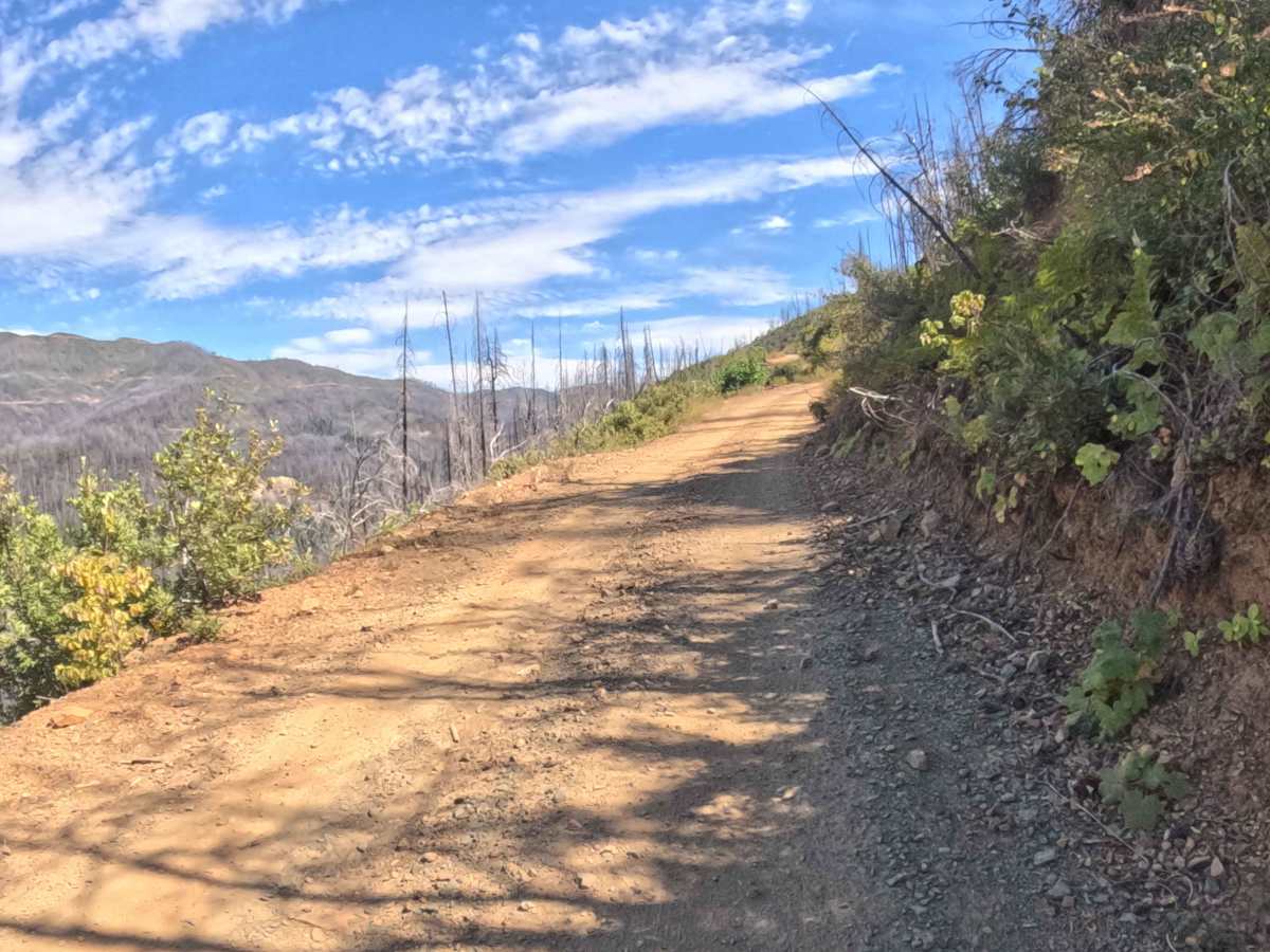
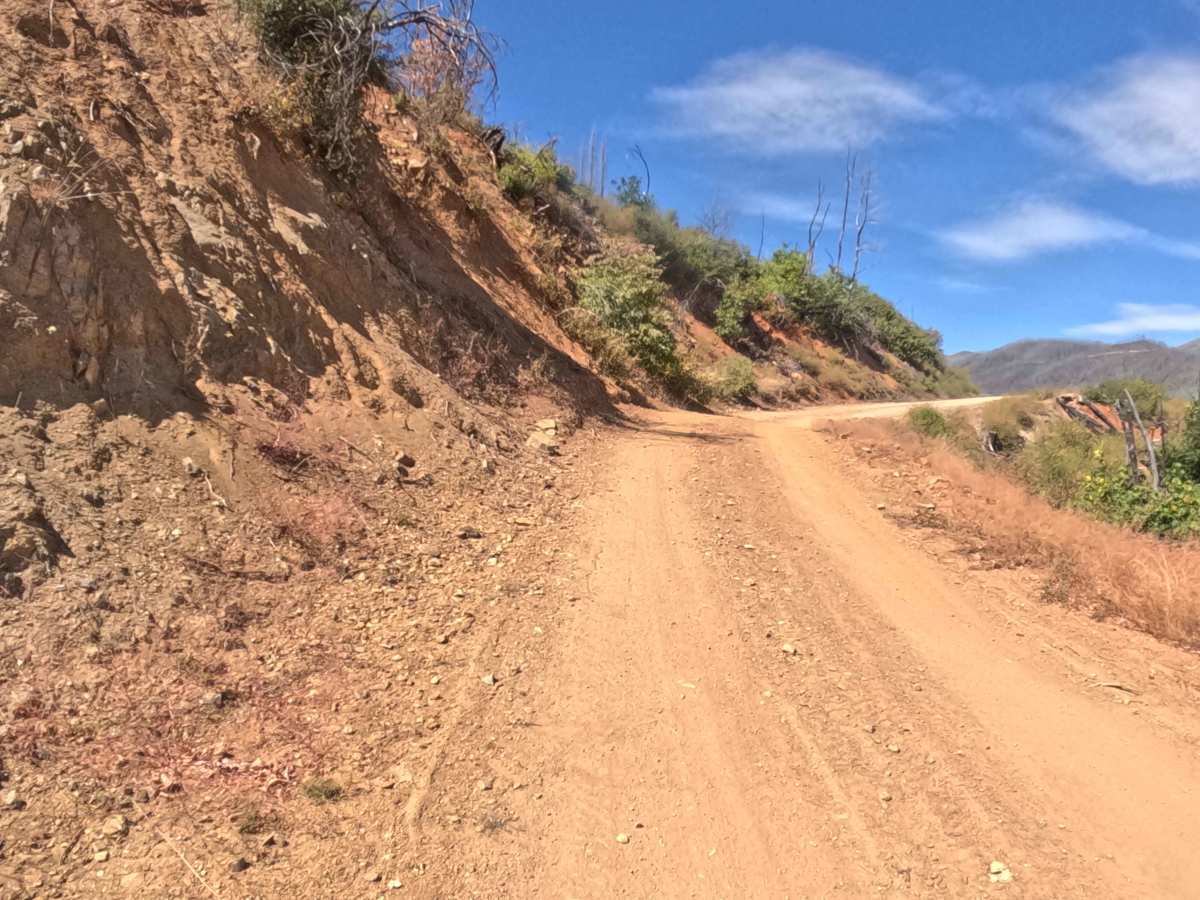
Holding a level 1 rating, this wide gravel road provides a very relaxed, easy climb suitable for virtually any vehicle. The packed earth and crushed rock surface remains excellently graded, completely free of deep washouts, rutting, or large rock obstacles. The primary characteristics of the drive are the constant, sweeping curves and the steady 2% to 5% uphill grade. Because the road is cut directly into the hillside, drivers will experience stretches of steep edge exposure alongside numerous blind corners. Maintaining a reasonable speed and staying alert for oncoming backcountry traffic are the only requirements for a smooth, drama-free trip.

 Offroad