
Dirt Bike Trails
Near Rover, Arkansas
Explore All Dirt Bike Trails Near Rover, Arkansas
Dirt Bike Trails Near Rover, Arkansas
Discover the best dirt bike trails near you. Browse trail maps, check difficulty ratings, and find your next adventure — whether you're looking for a quick ride or an all-day expedition.
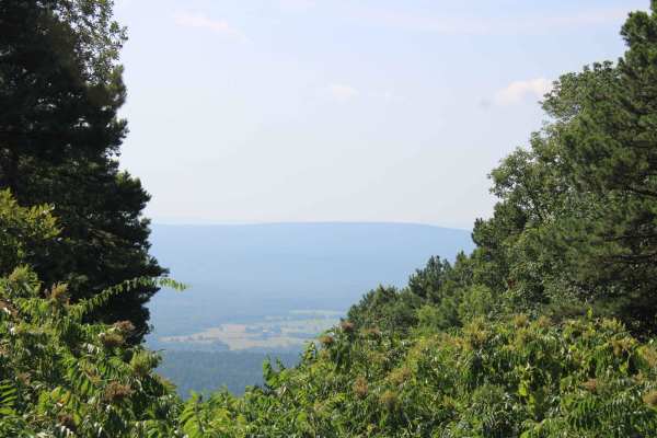
Dutch Creek Mountian to Towers
Dutch Creek Mountain Road (67) is a natural surface forest road that runs along Dutch Creek Mountain in the Ouachita National Forest. This road's natural surface has some larger rocks embedded in the surface, that make for a rough ride in areas. Some dirt areas can be muddy after rain. There can be...
Learn more about Dutch Creek Mountian to Towers
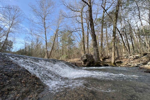
Barnhart Road 796
Most of the trails in the ONF are easy gravel roads, this one included. There isn't much elevation gain or descent on this trail. Even when it rains, the roads don't really get muddy, however, you may find mud puddles or potholes along this road. There are two water crossings, so a car isn't recomme...
Learn more about Barnhart Road 796
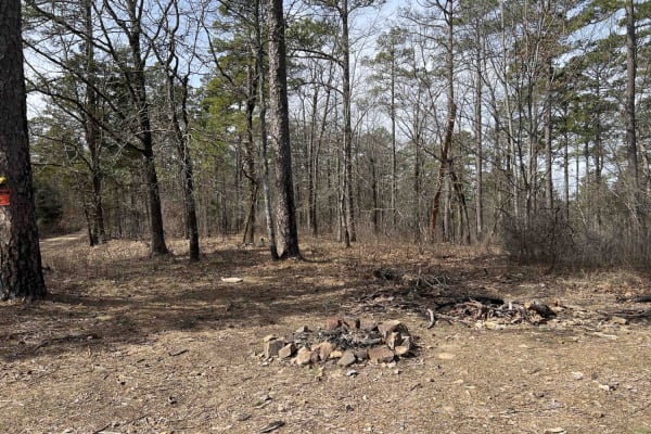
Long Mountain 76
Long mountain road describes this route to a T. With an elevation of around 1400 feet, it's a perfect route to see some pretty views of the Ouachita NF. The route is an easy gravel road with some steep hill climbs and descents. There are several areas to stop and look at the views. There are a few s...
Learn more about Long Mountain 76
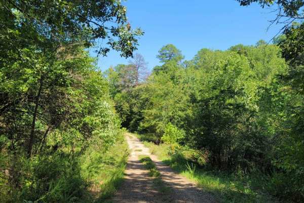
Wildcat Hollow
Wildcat Hollow is an exceptionally scenic and highly accessible route perfect for beginners, families, and any four-wheel-drive vehicle looking to explore the beautiful northern boundary of the Ouachita National Forest. Stretching approximately 8.2 miles through the peaceful Arkansas woodlands just ...
Learn more about Wildcat Hollow

Onyx Trail
This scenic route begins near Highway 27 and travels through a mixture of mature hardwood timber, pines, and active timber management areas before connecting with County Road 1 and County Road 613. While the route remains relatively easy, its narrow width and remote setting provide a true backcountr...
Learn more about Onyx Trail
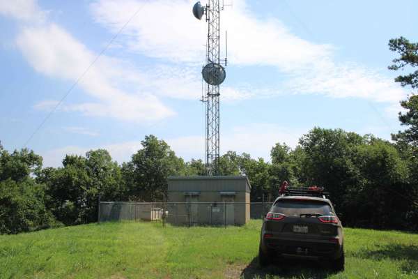
Dutch Creek Mountain Road - Nature Takes Over
This section of Dutch Creek Mountain Road starts from a cell tower clearing and ends where trees and brush close in on the road. This road does continue, but one must be willing to take scratches on the vehicle or clear the trail. There is an open area close to the end for dispersed camping and a fe...
Learn more about Dutch Creek Mountain Road - Nature Takes Over
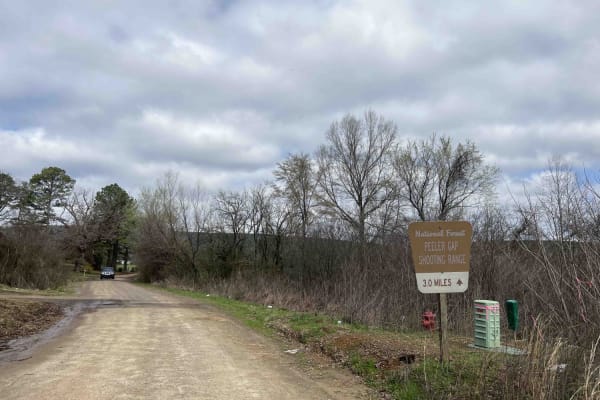
Peeler Gap Shooting Range
This road leads to a really nice shooting range with cell phone service, restrooms, and a nice-sized parking lot. Gravel road with larger-sized rocks in several areas. Low-clearance vehicles (cars) are not recommended. There are no camping areas along this road but there is a beautiful view at the n...
Learn more about Peeler Gap Shooting Range
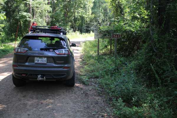
Kingston Road (156C)
East off Highway 27, starts Kingston Road (156c) that travels east to Peeler Gap Road (YE15). This gravel road winds through the beautiful Ouachita National Forest. During dry weather, the road can be dusty and it can be messy when wet. There can be water crossings during and after rain. Dispersed c...
Learn more about Kingston Road (156C)
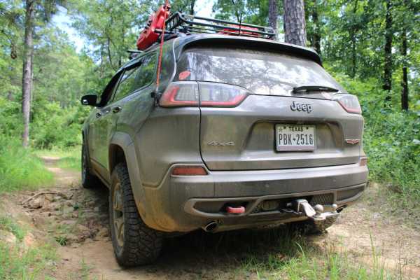
Danville Mountain
These forest roads consist of F63D, F64E, 658D, and 658 and exits at Growly Road. Some of these roads are narrow and overgrown. A few places will require a bit of ground clearance. Depending on vehicle width scratches are possible. Washouts and ruts will require choosing a line if ground clearance i...
Learn more about Danville Mountain
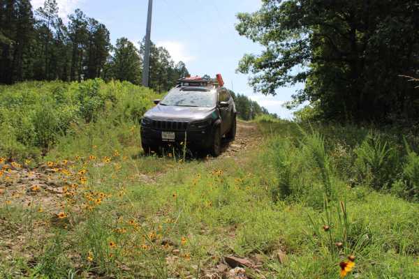
Power Line BUZZ
These short gravel roads lead to a power line right of way. This power line area has an open area that could be used for dispersed camping if you can deal with the BUZZ from the electric lines above. This road used to continue on to some camping spots, but after going under the power lines, it is bl...
Learn more about Power Line BUZZ
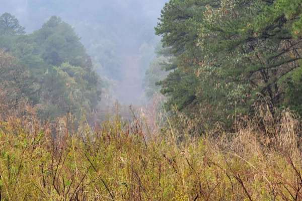
Talley Mountain
This Trail is a gravel road that can be messy when wet. There can be water crossings along this trail depending on precipitation. Not far up this trail as you travel west, you will see a single track on the left side. This single track can be muddy and very steep. The original trail will end at a ni...
Learn more about Talley Mountain
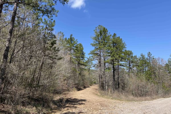
Chula Mountain 4128
Chula Mountain road is one of the most scenic drives in the Ouachita National Forest. With an elevation of around 1300 feet, its scenic views definitely don't disappoint. I noticed on my trek through this area that it is deer country. There are deer camps where hunters have built deer hangs and area...
Learn more about Chula Mountain 4128
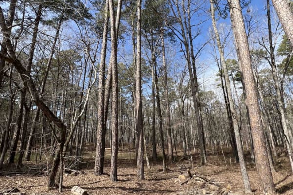
Big Cove Road 739
This is a great 4x4 road with lots of areas to pull off and hike down to Big Cove Creek which parallels this road. In the beginning, there is a cattle guard and a spot to air down right before that guard. It's mainly an old logging road, so there is plentiful firewood all along this route. There are...
Learn more about Big Cove Road 739
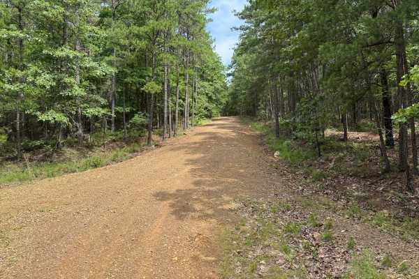
Bluffton
Bluffton (Forest Road 599) is a ridge-running route best suited for high-clearance vehicles, offering sustained elevation and a more rugged connection between Chula Mountain Road (FR 4128) and Gafford Creek Road (FR 519). The trail follows elevated terrain past Persimmon Pond Mountain and climbs tow...
Learn more about Bluffton
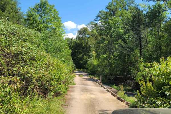
Mount Zion Cemetery
This track is all gravel that can have areas of mud and water crossings during or after rain. The south end of this track touches Highway 28. Mount Zion Cemetery is at the south end of this track. A cool bridge and creek will be crossed along the way. Great views and wildlife can be seen in this ar...
Learn more about Mount Zion Cemetery
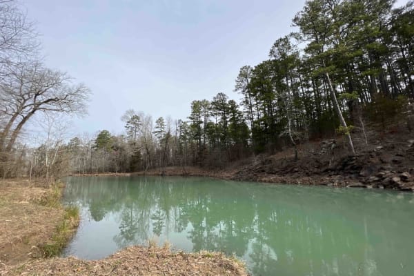
Long Hollow Road 146
This route showcases some of Arkansa's most beautiful scenery like the Hogan Creek Bridge which is a beautiful creek that is pretty deep. There are lots of campsites with beautiful views of the ridges of the Ouachita NF. There is a deer camp at the 2.6-mile marker that even had its own outhouse to ...
Learn more about Long Hollow Road 146
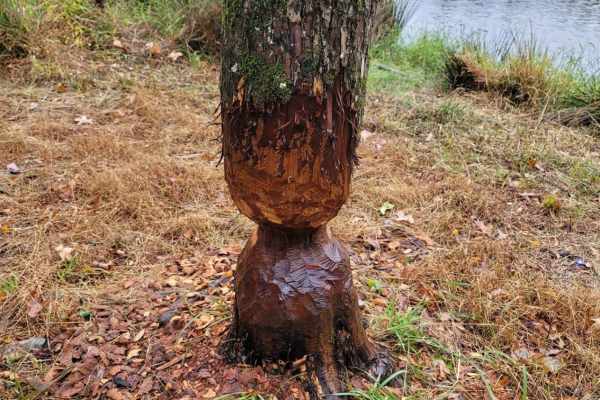
Pond Camp Special
After starting down this gravel road trail, you will quickly find a beautiful pond. This pond has a dam you can fish from and a dirt launch for small boats. There is also a small area for dispersed camping with a rock fire ring. As you continue the trail you will have beautiful views of streams, roc...
Learn more about Pond Camp Special

Miller Ranch
Miller Ranch (FR 604) is a moderate connector route best suited for high-clearance vehicles, linking Gafford Creek Road (FR 519) with Chula Mountain Road (FR 4128) through a drainage-driven corridor. Following Miller Ranch Creek, the road maintains a gravel surface with uneven tread, loose rock, and...
Learn more about Miller Ranch
Walnut Grove
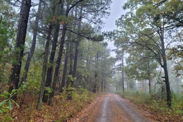
This gravel road has beautiful views and some nice curves. Watch for wildlife as you travel through the tall trees. There are steep drop-offs on the side of the road where you will hear and see streams. The moss-covered rocks are a sight to see. This road can be slippery when wet and dusty when dry....
Learn more about Walnut Grove
Prater Road 225
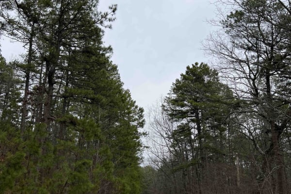
This has to be one of my favorite roads. It's an easy gravel road until you hit the end where there is nothing but small boulders to drive over. Plenty of campsites along this route including one with an American flag and a mailbox (which has little notes in it). 4x4 only as there are several water ...
Learn more about Prater Road 225
ATV trails near Rover, Arkansas
Explore ATV-friendly trails near you. These trails are accessible for vehicles up to 50 inches wide, perfect for ATVs and smaller off-road machines.
Barnhart Road 796
Most of the trails in the ONF are easy gravel roads, this one included. There isn't much elevation gain or descent on this trail. Even when it rains, the roads don't really get muddy, however, you may find mud puddles or potholes along this road. There are two water crossings, so a car isn't recomme...
Learn more about Barnhart Road 796
Long Mountain 76
Long mountain road describes this route to a T. With an elevation of around 1400 feet, it's a perfect route to see some pretty views of the Ouachita NF. The route is an easy gravel road with some steep hill climbs and descents. There are several areas to stop and look at the views. There are a few s...
Learn more about Long Mountain 76
Onyx Trail
This scenic route begins near Highway 27 and travels through a mixture of mature hardwood timber, pines, and active timber management areas before connecting with County Road 1 and County Road 613. While the route remains relatively easy, its narrow width and remote setting provide a true backcountr...
Learn more about Onyx Trail
Peeler Gap Shooting Range
This road leads to a really nice shooting range with cell phone service, restrooms, and a nice-sized parking lot. Gravel road with larger-sized rocks in several areas. Low-clearance vehicles (cars) are not recommended. There are no camping areas along this road but there is a beautiful view at the n...
Learn more about Peeler Gap Shooting Range
UTV/side-by-side trails near Rover, Arkansas
Find UTV and side-by-side trails near you. These trails accommodate vehicles up to 60 inches wide, ideal for UTVs, side-by-sides, and wider off-road rigs.
Dutch Creek Mountian to Towers
Dutch Creek Mountain Road (67) is a natural surface forest road that runs along Dutch Creek Mountain in the Ouachita National Forest. This road's natural surface has some larger rocks embedded in the surface, that make for a rough ride in areas. Some dirt areas can be muddy after rain. There can be...
Learn more about Dutch Creek Mountian to Towers
Barnhart Road 796
Most of the trails in the ONF are easy gravel roads, this one included. There isn't much elevation gain or descent on this trail. Even when it rains, the roads don't really get muddy, however, you may find mud puddles or potholes along this road. There are two water crossings, so a car isn't recomme...
Learn more about Barnhart Road 796
Long Mountain 76
Long mountain road describes this route to a T. With an elevation of around 1400 feet, it's a perfect route to see some pretty views of the Ouachita NF. The route is an easy gravel road with some steep hill climbs and descents. There are several areas to stop and look at the views. There are a few s...
Learn more about Long Mountain 76
Onyx Trail
This scenic route begins near Highway 27 and travels through a mixture of mature hardwood timber, pines, and active timber management areas before connecting with County Road 1 and County Road 613. While the route remains relatively easy, its narrow width and remote setting provide a true backcountr...
Learn more about Onyx Trail
The onX Offroad Difference
onX Offroad combines trail photos, descriptions, difficulty ratings, width restrictions, seasonality, and more in a user-friendly interface. Available on all devices, with offline access and full compatibility with CarPlay and Android Auto. Discover what you're missing today!
Open Trail Map