Trail Overview
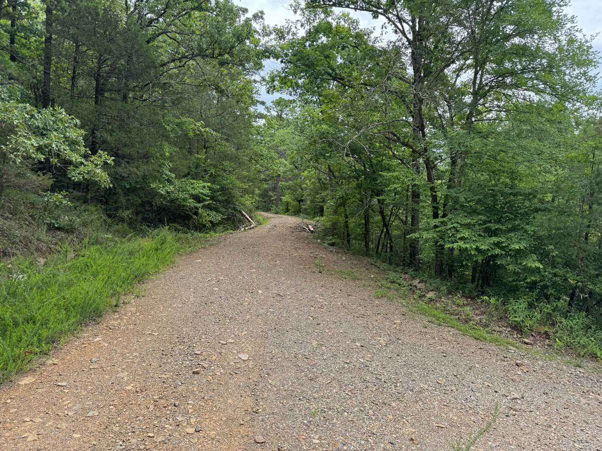
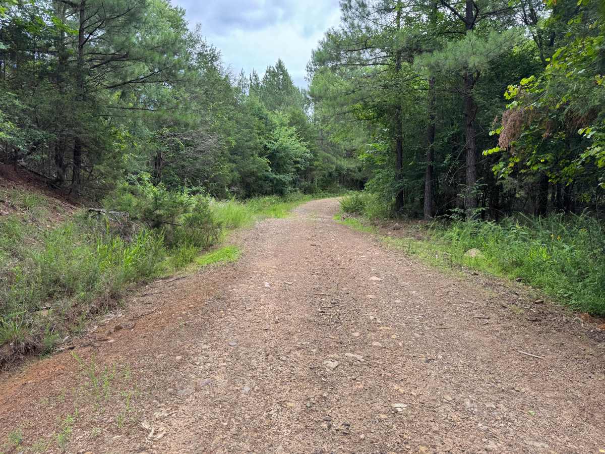
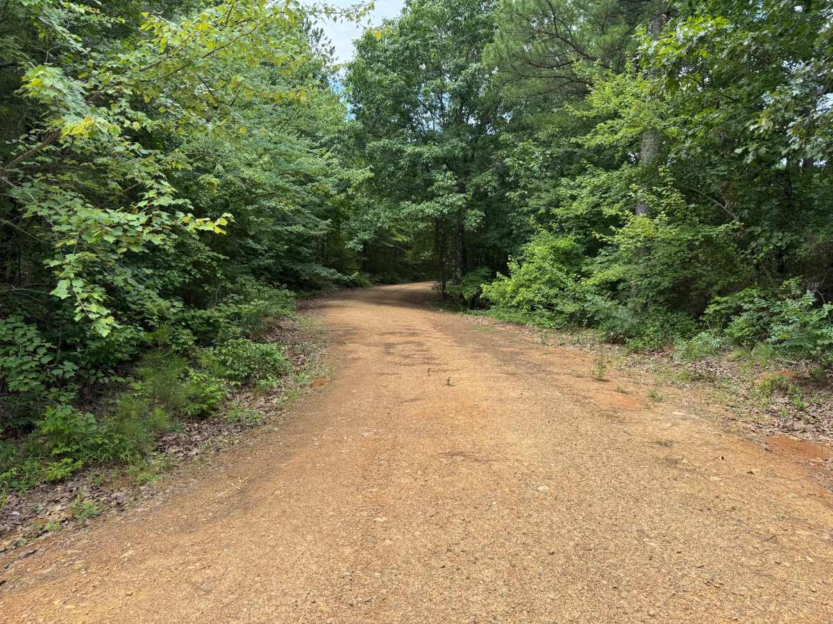
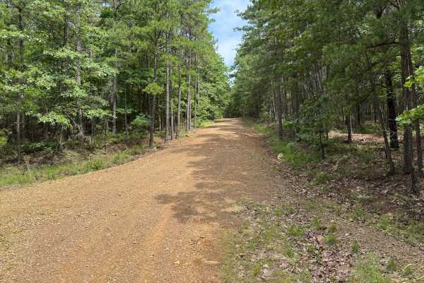
Miller Ranch (FR 604) is a moderate connector route best suited for high-clearance vehicles, linking Gafford Creek Road (FR 519) with Chula Mountain Road (FR 4128) through a drainage-driven corridor. Following Miller Ranch Creek, the road maintains a gravel surface with uneven tread, loose rock, and developing ruts that require more attention than typical graded forest roads. The terrain is generally low-gradient, but constant surface variation, including embedded rock and soft sections, keeps the drive engaging. As the route tracks alongside the creek, minor dips and drainage crossings are common, adding to the variability of the trail.
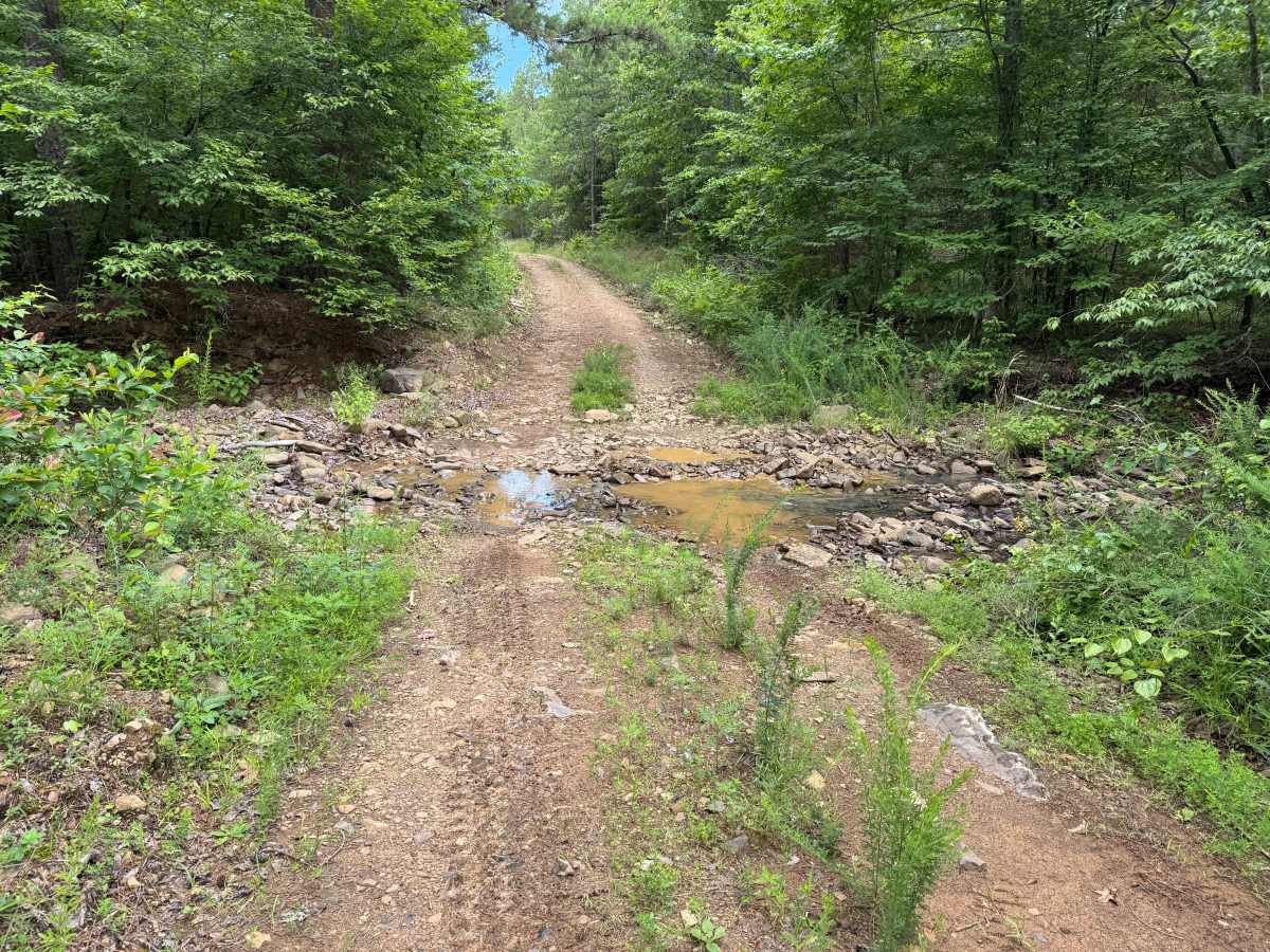
Water influence plays a major role in shaping conditions, with wet weather introducing mud, standing water, and erosion that can significantly increase difficulty. Sections of the road may become soft or washed out, particularly in lower areas where runoff collects, making careful tire placement important throughout. The route remains narrow in places with limited turnaround options, reinforcing the need to commit to the full connection once underway. Open to 4x4 vehicles, SxS, ATV, and dirt bikes, the trail is not recommended for passenger cars due to its unmaintained surface and changing conditions. The remote setting and drainage alignment create a steady, moderately challenging drive that varies with the seasons.
Difficulty
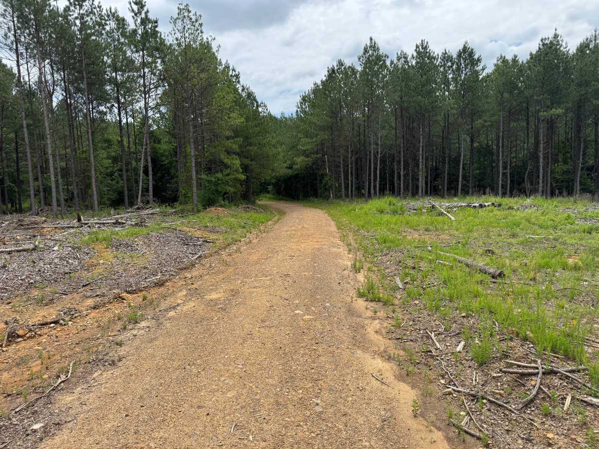
This route has a narrow width, limited passing opportunities, occasional soft spots, and multiple water crossings. Most of the route is straightforward, but drivers should be prepared for muddy conditions, shallow water, and the possibility of active logging operations. Four-wheel drive is generally not required in dry conditions but may be beneficial following heavy rainfall.
History
The Ouachita National Forest was established in 1907 and is recognized as the oldest national forest in the southern United States. Many roads found throughout the forest today originated as logging, timber management, fire access, or resource extraction routes before becoming part of the modern Forest Service road network. Forest management remains an important part of the landscape, and travelers may encounter evidence of prescribed burns, timber thinning, and habitat restoration efforts. The Ouachita Mountains themselves are among the oldest mountain ranges in North America and are notable for their unique east-west orientation.