
Dirt Bike Trails
Near Rio Rancho, New Mexico
Explore All Dirt Bike Trails Near Rio Rancho, New Mexico
Dirt Bike Trails Near Rio Rancho, New Mexico
Discover the best dirt bike trails near you. Browse trail maps, check difficulty ratings, and find your next adventure — whether you're looking for a quick ride or an all-day expedition.
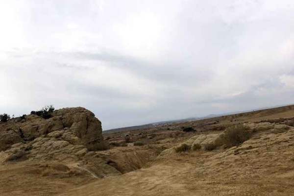
Southern Circle
Southern Circle is located on BLM land in Rio Rancho, New Mexico. This trail can give you access to some tribal land, so be careful not to take other routes. It is an easy off-road drive through the desert. The trail is easy and well-maintained dirt roads, some rocky roadsand loose rocks. You will a...
Learn more about Southern Circle
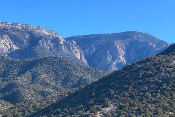
Forest Loop Road 445
Forest Loop Road 445 leads from NM Highway 165 to the northern base of the Sandia Mountains and back to NM 165. The western side of the loop is more difficult with some washouts, arroyos and water ruts. The eastern side of the loop is easier. The northern trailhead of the difficult Piedra Lisa Hikin...
Learn more about Forest Loop Road 445
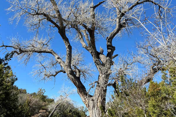
Tunnel Springs Road
This short up-and-back road travels through private land and ends at the Tunnel Springs Trailhead with great views. It is steep in spots with some large holes and ruts. The parking area is small. The two hiking trails that start at the trailhead are the moderately rated 4.6-mile Tunnel Springs Loop ...
Learn more about Tunnel Springs Road
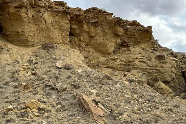
Cabezon Road
This gem of a route has many facets and is close to Albuquerque and Rio Rancho. The facets include geologic formations, bike trails, and hiking trails. The route is easy and there are nice parking areas to access the trails. Most of the route borders the Ojito Wilderness to the north and BLM land to...
Learn more about Cabezon Road
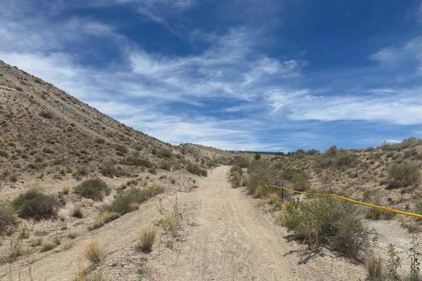
Edge of the Earth
This trail is a roller-coaster-style trail with constant ups and downs over small hills, deep ruts, and sandy terrain. Minimum 33-inch tires recommended due to the uneven terrain and deeper sand sections. Lockers are not required. The trail is mostly manageable until you drop into the wash, where a ...
Learn more about Edge of the Earth
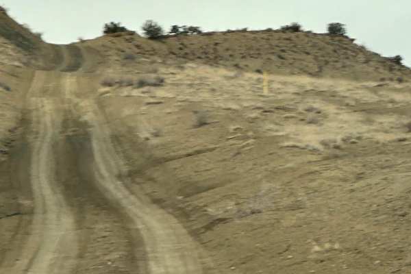
South Pipeline Road
This route follows the pipeline easement along the Ojito Wilderness to the east and through Zia Pueblo land. It connects Cabezon Road with Backway to Cabezon Peak or the North Pipeline Road. The route has some bumps, dips, and ruts and can be slick with the slightest bit of moisture.
Learn more about South Pipeline Road

Coyote Split
Coyote Split is a 2-mile single track that connects the Coyote Trail to the Chamisoso Trail. It's narrow and shelfy at times, with loose rock and embedded slab rock ledges in the dirt trail. It goes along the top of a mesa and drops down off of the mesa into a flat and grassy meadow at the intersect...
Learn more about Coyote Split
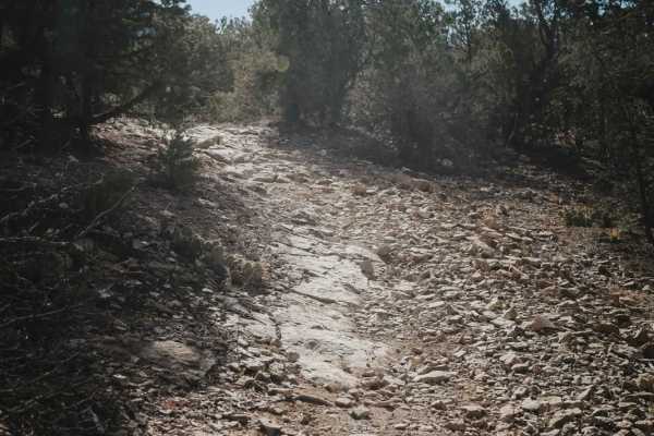
Coyote-Chamisoso Link
This is a short 1.1-mile-long trail starting at the Coyote Trailhead, which has several spots for parking. It starts through a pinch point at a gated dirt road. It parallels the dirt road on a flowy dirt single track with a couple of rock slab sections. Other than a few obstacles, most of the trail ...
Learn more about Coyote-Chamisoso Link
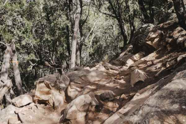
Coyote
Coyote is a 5-mile-long single track in the Manzanita Mountain OHV area that is popular with dirt bikers, mountain bikers, and hikers. It's very windy through a forested desert terrain full of pinyon pine and juniper trees. The trail has lots of rock slab sections and moderate rock obstacles. The ob...
Learn more about Coyote
Chamisoso
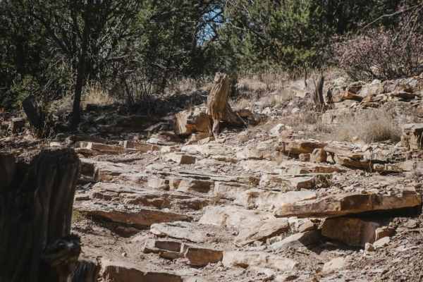
Chamisoso starts out on the west end as a flowy, smooth dirt trail through a grassy meadow elevated above a ravine. The beginning is a 2 difficulty. After the intersection with Coyote Split, it comes up to a bigger ledge obstacle that is more like a 5 difficulty. It's a series of two ledges in a row...
Learn more about Chamisoso
Meadow Ridge Loop
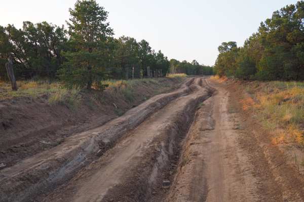
Meadow Ridge Loop is a part of the Cedro peak network of trails in the south half of the Sandia Ranger district. This trail has some areas with significant challenges for stock vehicles, including one major obstacle with no bypass, which can easily damage rocker panels without rock sliders. It also ...
Learn more about Meadow Ridge Loop
Lower Pine
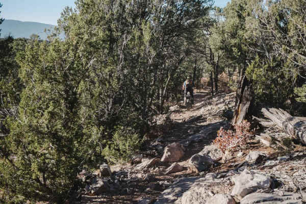
Lower Pine is a 2-mile single track in the Manzanita Mountain Trail System that starts at the Lower Pine Trailhead on the north end and goes south to the intersection with Gear Grinder. This trail has several very rocky climbs/descents with slab rock, small ledges, and loose rock. The north end has ...
Learn more about Lower Pine
More Cowbell
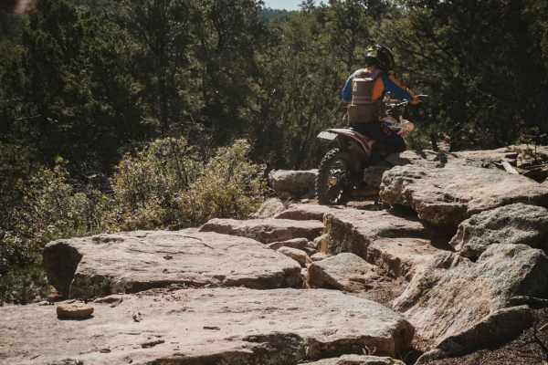
More Cowbell is a 1.6-mile single track that connects the Coyote Trail to the Coyote Split Trail. This one is pretty flat with hardly any elevation gain, but it has lots of tight curves through the pinyon pine and juniper trees. It's pretty tight through the trees at times, so it has more shade whic...
Learn more about More Cowbell
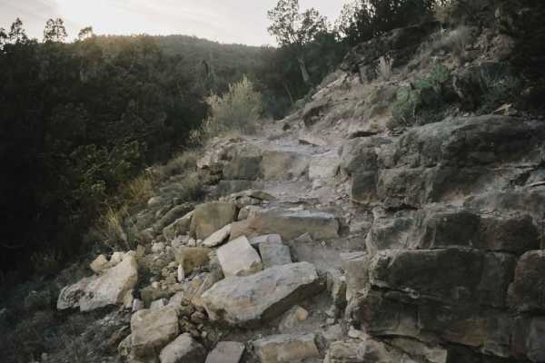
Birdhouse Ridge
Birdhouse Ridge is an intermediate trail in the Cibola National Forest that gains 650 feet over 2.7 miles as it heads south. It starts at the Tunnel Trailhead off State Highway 337 and continues as a very curvy, narrow, shelfy trail with difficult rock obstacles. There are lots of rocky sections wit...
Learn more about Birdhouse Ridge
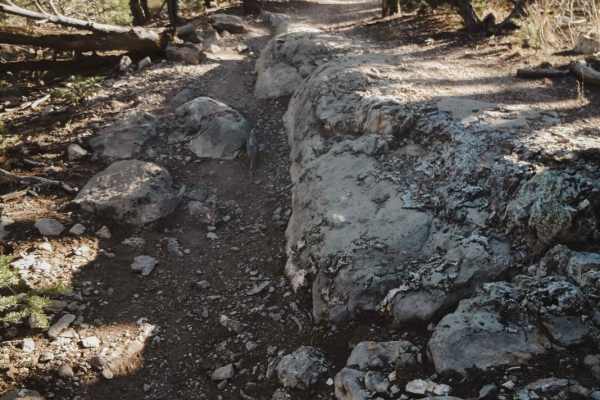
West Ridge
West Ridge is a 2.6-mile single track in the Manzanita Mountain Trail System near Albuquerque, New Mexico. The south end starts at the intersection with Otero Canyon and heads north. It starts on the south end by climbing up a few easy switchbacks. The switchbacks themselves aren't hard, but there a...
Learn more about West Ridge

Otero Canyon
Otero Canyon is a really fun and easy trail in the Manzanita Mountain Trail System by Albuquerque, New Mexico. This one is scenic, fast, and flowy, with a few rocky sections. It starts from the north at the Otero Trailhead, which is a big pull-off on Highway 337 with space for lots of vehicles. You ...
Learn more about Otero Canyon
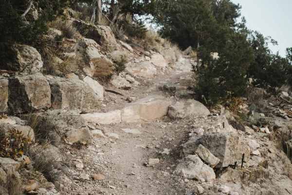
Jackalope
Jackalope is a 2.3-mile-long single track that starts directly off State Highway 337 with no staging or parking area. The trail just starts behind a gate. You wouldn't notice this trail is here unless looking for it. You'll need to be street-legal to connect the west end of this trail with any of th...
Learn more about Jackalope
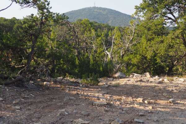
Coyote Mesa Trail
Coyote Mesa Trail is listed on MUVM maps as FR462. Its starts just south of Tijeras in Chamisos Canyon, and crosses the mesa north of Cedro Peak ending near the Zuzax area. This trail offers panoramic views of the Sandias, Monzanos and Cedro Peak with minimal difficulty. At each break in the trees, ...
Learn more about Coyote Mesa Trail
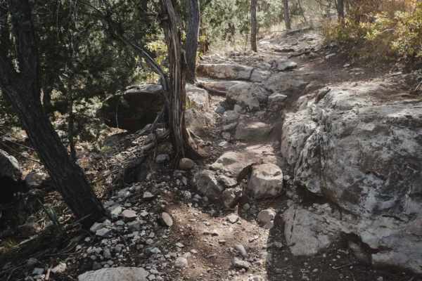
Delberts
Delberts is a challenging single track in the Manzanita Mountain Trail System near Albuquerque, New Mexico that has lots of rock ledges, roots, and shelfy sections of trail. This trail is slightly harder than some of the surrounding trails because it has a bit of exposure as it rides around the rim ...
Learn more about Delberts
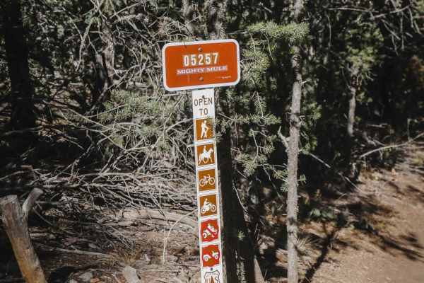
Mighty Mule
Mighty Mule is a 1.3-mile-long single track in the Manzanita Mountain Trail System. It parallels the Meadow Ridge Jeep Trail and is pretty straight, with light curves with banked corners. This one doesn't have many rocks, which is rare for this trail system. It does have several rain ruts, but no bi...
Learn more about Mighty Mule
ATV trails near Rio Rancho, New Mexico
Explore ATV-friendly trails near you. These trails are accessible for vehicles up to 50 inches wide, perfect for ATVs and smaller off-road machines.
Southern Circle
Southern Circle is located on BLM land in Rio Rancho, New Mexico. This trail can give you access to some tribal land, so be careful not to take other routes. It is an easy off-road drive through the desert. The trail is easy and well-maintained dirt roads, some rocky roadsand loose rocks. You will a...
Learn more about Southern Circle
Forest Loop Road 445
Forest Loop Road 445 leads from NM Highway 165 to the northern base of the Sandia Mountains and back to NM 165. The western side of the loop is more difficult with some washouts, arroyos and water ruts. The eastern side of the loop is easier. The northern trailhead of the difficult Piedra Lisa Hikin...
Learn more about Forest Loop Road 445
Tunnel Springs Road
This short up-and-back road travels through private land and ends at the Tunnel Springs Trailhead with great views. It is steep in spots with some large holes and ruts. The parking area is small. The two hiking trails that start at the trailhead are the moderately rated 4.6-mile Tunnel Springs Loop ...
Learn more about Tunnel Springs Road
Cabezon Road
This gem of a route has many facets and is close to Albuquerque and Rio Rancho. The facets include geologic formations, bike trails, and hiking trails. The route is easy and there are nice parking areas to access the trails. Most of the route borders the Ojito Wilderness to the north and BLM land to...
Learn more about Cabezon Road
UTV/side-by-side trails near Rio Rancho, New Mexico
Find UTV and side-by-side trails near you. These trails accommodate vehicles up to 60 inches wide, ideal for UTVs, side-by-sides, and wider off-road rigs.
Southern Circle
Southern Circle is located on BLM land in Rio Rancho, New Mexico. This trail can give you access to some tribal land, so be careful not to take other routes. It is an easy off-road drive through the desert. The trail is easy and well-maintained dirt roads, some rocky roadsand loose rocks. You will a...
Learn more about Southern Circle
Forest Loop Road 445
Forest Loop Road 445 leads from NM Highway 165 to the northern base of the Sandia Mountains and back to NM 165. The western side of the loop is more difficult with some washouts, arroyos and water ruts. The eastern side of the loop is easier. The northern trailhead of the difficult Piedra Lisa Hikin...
Learn more about Forest Loop Road 445
Tunnel Springs Road
This short up-and-back road travels through private land and ends at the Tunnel Springs Trailhead with great views. It is steep in spots with some large holes and ruts. The parking area is small. The two hiking trails that start at the trailhead are the moderately rated 4.6-mile Tunnel Springs Loop ...
Learn more about Tunnel Springs Road
Cabezon Road
This gem of a route has many facets and is close to Albuquerque and Rio Rancho. The facets include geologic formations, bike trails, and hiking trails. The route is easy and there are nice parking areas to access the trails. Most of the route borders the Ojito Wilderness to the north and BLM land to...
Learn more about Cabezon Road
The onX Offroad Difference
onX Offroad combines trail photos, descriptions, difficulty ratings, width restrictions, seasonality, and more in a user-friendly interface. Available on all devices, with offline access and full compatibility with CarPlay and Android Auto. Discover what you're missing today!
Open Trail Map