
Dirt Bike Trails
Near Racine, Ohio
Explore All Dirt Bike Trails Near Racine, Ohio
Dirt Bike Trails Near Racine, Ohio
Discover the best dirt bike trails near you. Browse trail maps, check difficulty ratings, and find your next adventure — whether you're looking for a quick ride or an all-day expedition.
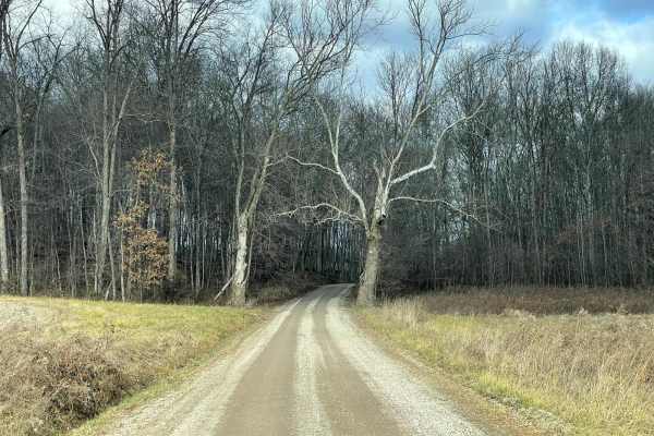
Vinton County Tunnel Tour Part 3
This trail is Wikesville to Cone/Appalachia Highway Vinton County Tunnel Loop East. This section starts at Wikesville, Ohio, and runs counterclockwise north through Vinton County, stopping at Moonville Tunnel and Kings Hollow Tunnel which was recently added as the Rails to Trails Hiking pathway thro...
Learn more about Vinton County Tunnel Tour Part 3
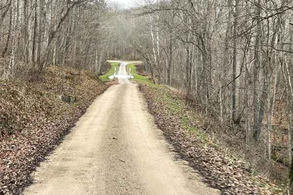
Vinton County Tunnels Tour Part 2
This is Radcliff to Campbell Tunnel Vinton County Tunnel Loop West. This starts at Lake Hope in this section and runs counterclockwise south through Vinton county passing Campbell Tunnel which was recently closed through the Appalachian Foothills. Gas and food can be found along the way. Good for a ...
Learn more about Vinton County Tunnels Tour Part 2
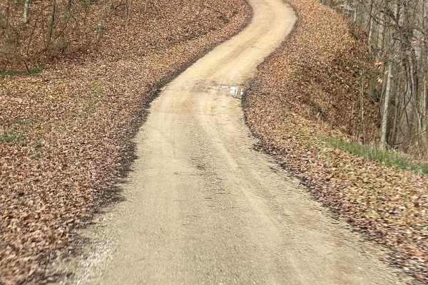
Vinton County Tunnels Tour Part 1
This trail is from Lake Hope to Zaleski Vinton County Tunnel Loop West. This starts at Lake Hope and runs counterclockwise south through Vinton County, passing Campbell Tunnel which was recently closed through the Appalachian Foothills. Gas and food can be found along the way and the route is good f...
Learn more about Vinton County Tunnels Tour Part 1
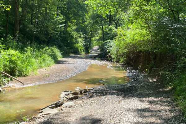
County Route 2 - Wirt County
This is a scenic drive that follows part of Goose Creek in Wirt County, West Virginia. The road is mainly gravel with a few dirt sections and some water crossings but nothing too rough. This road is an absolutely beautiful drive in the fall when the leaves are turning color. There is one stretch of ...
Learn more about County Route 2 - Wirt County
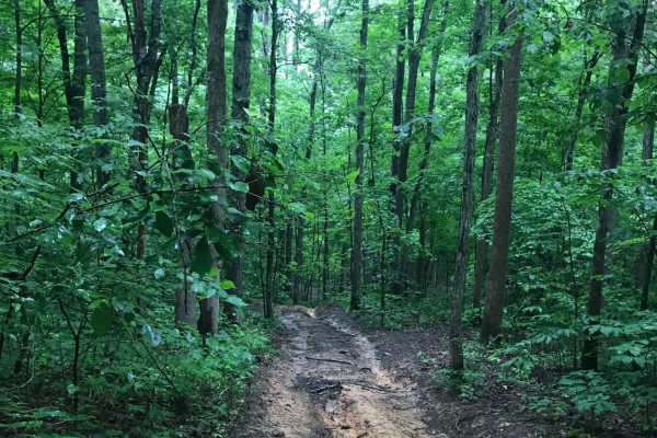
Vernon-Painter Creek Road
Turn right off Telegraph Hill Road onto Vernon-Painter Creek Road. Along the route, a small pull-off provides access to an ATV path leading to an abandoned CH&P railroad tunnel, one of several in the area. Continue through the deep, dark forest, then turn left onto the side road and follow the unmai...
Learn more about Vernon-Painter Creek Road

Ritchie Mines OHV CR/30 MacFarlan Road
Located in the central area of Ritchie County in West Virginia is an OHV trail you will never forget. This trail is the main one going through the Ritchie Mine area where it begins on State Highway 47 in MacFarlan, WV, and ends on Gillispie Road or CR 1/7 about 5 miles north from the starting point...
Learn more about Ritchie Mines OHV CR/30 MacFarlan Road
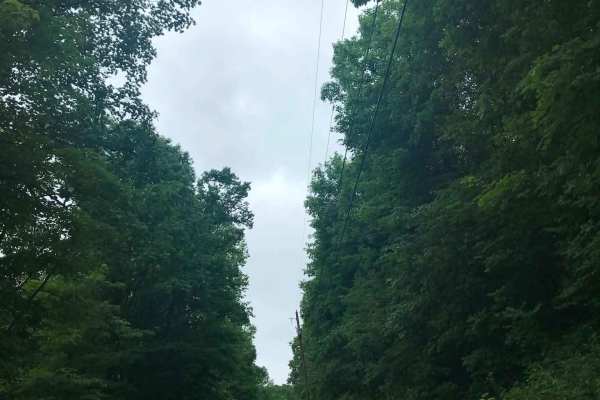
Brady Fork
This trail features giant rock formations, partially washed-out roads, deep ravines, high-water crossings, and muddy ruts. After turning right onto Brady Fork Road, keep right where the left side has washed away, as the drop leads into a deep ravine running alongside the road. Multiple pull-off area...
Learn more about Brady Fork
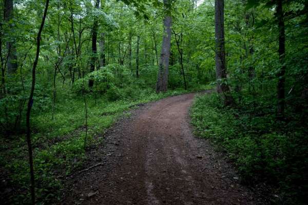
T10
This mile-long trail serves as the main entry point into the Tornado Trail System, beginning at a small stream crossing. The wide, gravel path is well-maintained and winds through lush forest along a scenic hillside. The trail starts with a two-track width and features small loose rock, gentle switc...
Learn more about T10
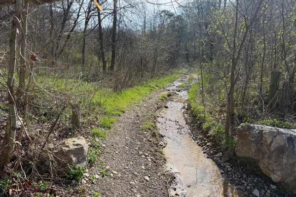
Telegraph Trail
Telegraph Trail (FS 15) is a solid choice for ATV and dirtbike riders looking for a moderately challenging OHV trail in southeastern Ohio. Winding through the Ironton Ranger District of Wayne National Forest, this route delivers classic Appalachian terrain with just enough technical features to keep...
Learn more about Telegraph Trail
T42
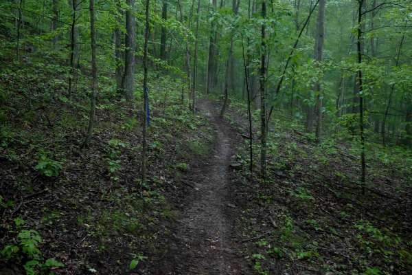
Trail T42 is a short trail just over a quarter mile long, running through dense forest with tight turns, small hill climbs and descents that are steep and rutted. It features a steep, slippery descent, off-camber slopes, and multiple ravine crossings. The surface is rutted and covered in sticks, lea...
Learn more about T42
T43
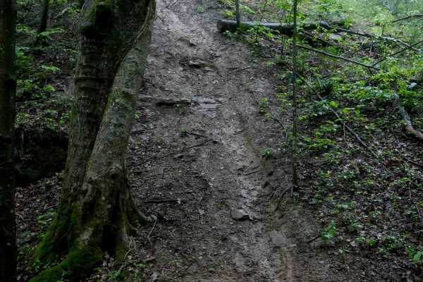
Trail T43 begins off T10 near the entrance to the trail system. It features several slick roots, downed logs, and small ravine crossings, with steep, slick hill climbs that include off-camber slopes, tight turns, and switchbacks. The steep grades make the trail particularly difficult when wet, requi...
Learn more about T43

Wolcott Trail
This trail has ups and downs, switchbacks, mud, water, and a few high-speed straights on the ridge tops. The trail is generally wide enough to allow other riders to pass. The Trail cuts through Pine Creek Wetland and can offer some great wildlife viewing. There are some beautiful views from the ridg...
Learn more about Wolcott Trail
T54
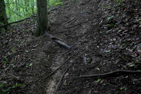
Trail T54 is a tight, meandering trail through dense forest, featuring steep climbs and descents. It dips into ravines and climbs back up to the next hillside, with some off-camber exits that can be tricky. The trail's surface tends to be slick and greasy when wet, especially in spring when muddy ru...
Learn more about T54
James Road
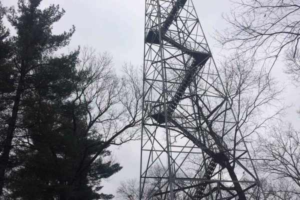
You'll find a couple of small water crossings on this easy trail. It will be slippery when wet or snowy. It's right off of a gravel road and takes you to some very nice ponds. It does have couple of steep hills with ruts and is narrow. Full-size vehicles will fit but you may get some scratches.
Learn more about James Road
T24
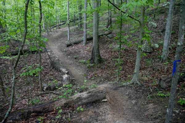
Trail T24 in the Tornado trail system is a one-mile loop featuring tight, curvy single-track with a mix of wider sections and narrower passages through the trees. The trail is mostly gradual with a few steeper spots and small drop-offs from embedded rocks and roots. Deep muddy ruts and several cut l...
Learn more about T24
T18
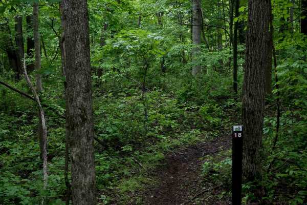
T18 is a short, 240-yard flowy dirt single-track that winds through dense, lush forest and is marked with blue ribbon. The trail features small embedded rocks and scattered roots, offering a scenic ride with minimal technical elements. It begins steeply at the north end, descending from T19, and gra...
Learn more about T18
T11
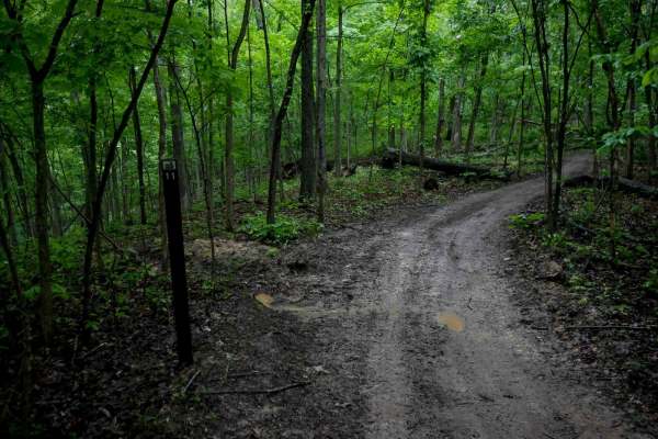
Trail T11 is a wide, 0.8-mile two-track transfer section that runs mostly straight and gradual, bringing riders further south into the trail system. The surface is smooth and easy with only minor loose rock, roots, and sticks, and small rolling hills. Well signed and clearly defined, it serves as a ...
Learn more about T11
T44
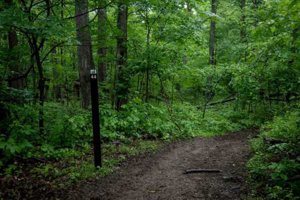
Trail T44 is a short, 300-yard connector between Trails 41 and 18. It follows a wider path through a lush forest of thick white oaks, sugar maples, and black tupelo, with loamy soil underfoot. The trail features gradual corners and an easy, steady grade, making it a straightforward and accessible co...
Learn more about T44
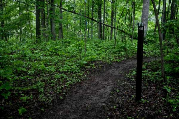
T45
Trail T45 is a short, 300-yard connector between Trails 11 and 44. It's a mellow singletrack with a smooth surface, no obstacles, and only one slightly steep section. The trail passes through lush forest with loamy soil, thick white oaks, and slender beech trees. Overall, it's an easy and gradual ro...
Learn more about T45
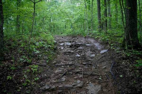
T41
Trail T41 is a half-mile rutted path through the forest that starts off T10 near the entrance to the trail system and ends at T55 on the east end, likely seeing higher use. The trail features slick root sections where roots crisscross diagonally across the path, becoming hazardous when wet despite t...
Learn more about T41
ATV trails near Racine, Ohio
Explore ATV-friendly trails near you. These trails are accessible for vehicles up to 50 inches wide, perfect for ATVs and smaller off-road machines.
County Route 2 - Wirt County
This is a scenic drive that follows part of Goose Creek in Wirt County, West Virginia. The road is mainly gravel with a few dirt sections and some water crossings but nothing too rough. This road is an absolutely beautiful drive in the fall when the leaves are turning color. There is one stretch of ...
Learn more about County Route 2 - Wirt County
Ritchie Mines OHV CR/30 MacFarlan Road
Located in the central area of Ritchie County in West Virginia is an OHV trail you will never forget. This trail is the main one going through the Ritchie Mine area where it begins on State Highway 47 in MacFarlan, WV, and ends on Gillispie Road or CR 1/7 about 5 miles north from the starting point...
Learn more about Ritchie Mines OHV CR/30 MacFarlan Road
Brady Fork
This trail features giant rock formations, partially washed-out roads, deep ravines, high-water crossings, and muddy ruts. After turning right onto Brady Fork Road, keep right where the left side has washed away, as the drop leads into a deep ravine running alongside the road. Multiple pull-off area...
Learn more about Brady Fork
Telegraph Trail
Telegraph Trail (FS 15) is a solid choice for ATV and dirtbike riders looking for a moderately challenging OHV trail in southeastern Ohio. Winding through the Ironton Ranger District of Wayne National Forest, this route delivers classic Appalachian terrain with just enough technical features to keep...
Learn more about Telegraph Trail
UTV/side-by-side trails near Racine, Ohio
Find UTV and side-by-side trails near you. These trails accommodate vehicles up to 60 inches wide, ideal for UTVs, side-by-sides, and wider off-road rigs.
County Route 2 - Wirt County
This is a scenic drive that follows part of Goose Creek in Wirt County, West Virginia. The road is mainly gravel with a few dirt sections and some water crossings but nothing too rough. This road is an absolutely beautiful drive in the fall when the leaves are turning color. There is one stretch of ...
Learn more about County Route 2 - Wirt County
Ritchie Mines OHV CR/30 MacFarlan Road
Located in the central area of Ritchie County in West Virginia is an OHV trail you will never forget. This trail is the main one going through the Ritchie Mine area where it begins on State Highway 47 in MacFarlan, WV, and ends on Gillispie Road or CR 1/7 about 5 miles north from the starting point...
Learn more about Ritchie Mines OHV CR/30 MacFarlan Road
Brady Fork
This trail features giant rock formations, partially washed-out roads, deep ravines, high-water crossings, and muddy ruts. After turning right onto Brady Fork Road, keep right where the left side has washed away, as the drop leads into a deep ravine running alongside the road. Multiple pull-off area...
Learn more about Brady Fork
James Road
You'll find a couple of small water crossings on this easy trail. It will be slippery when wet or snowy. It's right off of a gravel road and takes you to some very nice ponds. It does have couple of steep hills with ruts and is narrow. Full-size vehicles will fit but you may get some scratches.
Learn more about James Road
The onX Offroad Difference
onX Offroad combines trail photos, descriptions, difficulty ratings, width restrictions, seasonality, and more in a user-friendly interface. Available on all devices, with offline access and full compatibility with CarPlay and Android Auto. Discover what you're missing today!
Open Trail Map