
Dirt Bike Trails
Near Pocatello, Idaho
Explore All Dirt Bike Trails Near Pocatello, Idaho
Dirt Bike Trails Near Pocatello, Idaho
Discover the best dirt bike trails near you. Browse trail maps, check difficulty ratings, and find your next adventure — whether you're looking for a quick ride or an all-day expedition.
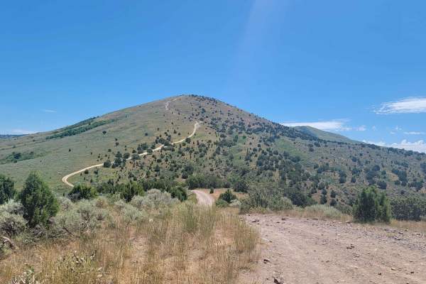
Route 352 to Chinese Peak
Start just off of American Road and West Buckskin Road. The road is marked 352. This short route just outside of Pocatello is thrilling. In about three miles you gain 1700 feet in elevation. In the middle of the trail, there are two smaller mountains that are pretty steep. Both sides of the road hav...
Learn more about Route 352 to Chinese Peak
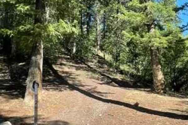
Crestline trail - Bell Marsh Creek
This was an awesome single-track trail filled with all types of terrain. It involves a lot of flow that you can rip through and also has good technical rocky features. Crestline trail is probably meant for beginner/intermediate riders and has only a few spots that are tricky, but nothing too crazy. ...
Learn more about Crestline trail - Bell Marsh Creek
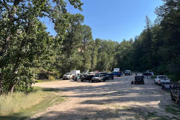
Inman Canyon-Big Springs
Starting at Inman Canyon Motorized Trailhead, this route will take you on the backroads through the Caribou National Forest and the Portneuf Range. This trail starts out easy with a relatively smooth gravel road, and a few switchbacks. Once you complete this section it becomes very dusty, especially...
Learn more about Inman Canyon-Big Springs
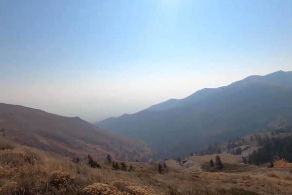
Scout Mountain
Scout Mountain Road is a scenic 11.5-mile drive south of Pocatello, Idaho traversing the Caribou-Targhee National Forest. The route climbs roughly 3,000 feet, winding through pine and aspen forests to offer panoramic views of the Portneuf Range. The surface consists of well-maintained dirt and grave...
Learn more about Scout Mountain
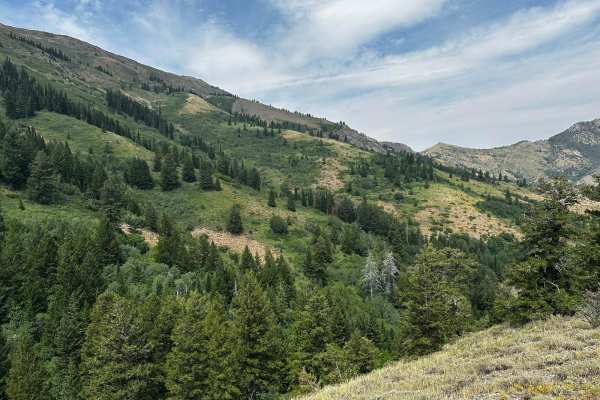
Goodenough - Bell Marsh Creek
From the Goodenough parking lot, leave to the north and follow the 2 track to where it turns single track (Bells Marsh) up to the top and then back to the parking lot. The 2 track is typical, but the single to the top has several creek crossings (none deep), roots and rocks and ledges for challenges...
Learn more about Goodenough - Bell Marsh Creek
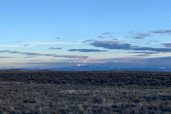
Springfield to Big Southern Butte
This scenic 26.3-mile point-to-point trail is ideal for beginner to intermediate offroaders looking to explore the historic Snake River Plain while taking in views of the iconic Big Southern Butte. Running from Springfield, Idaho, up toward the towering volcanic dome of Big Southern Butte, the route...
Learn more about Springfield to Big Southern Butte
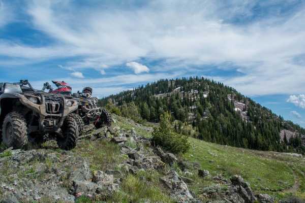
Boundary Trail
The Boundary Trail is a great 37-mile loop that circles around the majority of the Portneuf Range near Pocatello. This trail is open to mountain bikes, motorcycles and ATVs. There is a 50" limit, so no SxSs. There are several gates to enforce the regulations, so please be respectful. There are other...
Learn more about Boundary Trail
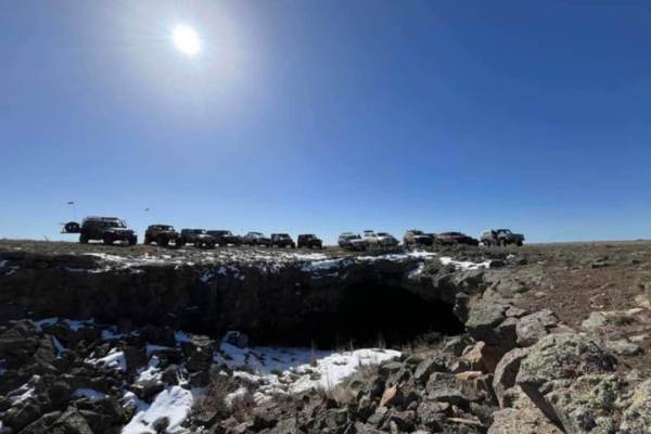
Bear Trap Cave North
Bear Trap Cave is one of many lave caves located in southeast Idaho. This trail begins from Coffee Point and winds southwest across the desert to the Bear Trap cave. It is a relatively easy-going trail, with a mostly dirt road that is only challenging in snow or mud. There are plenty of scenic oppor...
Learn more about Bear Trap Cave North
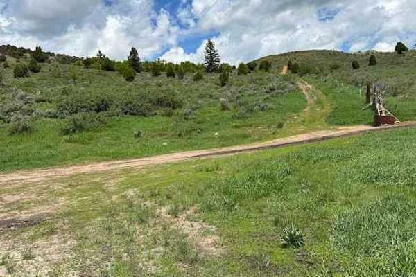
Razorback Ridge
This trail is commonly known to locals as Razorback Ridge, due to the lone ridge with a knife's edge summit you will drive below. It runs through uneven, rocky BLM ground in high desert sagebrush. Often frequented by many different types of wild game, this is a favorite of hunters and offroaders ali...
Learn more about Razorback Ridge
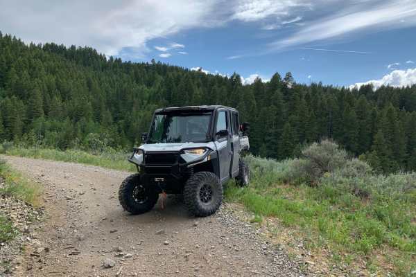
Houtz Canyon
Houtz Canyon from the Rockland side is a great off-road adventure for all vehicles, but it can become narrow due to brush. The BLM provides plenty of parking at the start of the trail. The trail takes you from high desert sagebrush and junipers into the pine forest. The trail is dirt/rock gravel and...
Learn more about Houtz Canyon
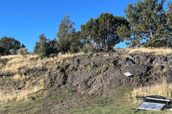
Hells Half Acre
Hells Half Acre is an approximately 6-mile trail through ancient lava rock just southwest of Shelly Idaho. It is a moderate to difficult trail, with many tough obstacles that are not by-passible and the difficulty can be increased exponentially if you choose to, up to including extreme buggy lines. ...
Learn more about Hells Half Acre
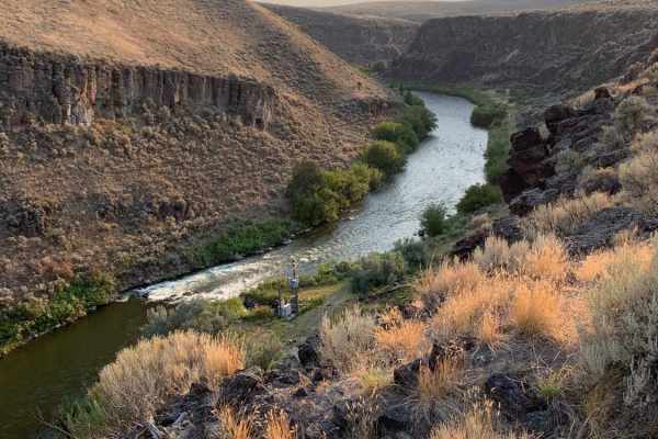
Idaho Falls to Wolverine Canyon
This route takes you from Idaho Falls up Bone Road, past the Bone Store, and up the Wolverine Canyon. It is a fun ride to take all year round for a Sunday drive or a quick ride up in the mountains. You drive past the old settlement of Ozone which was a fairly large city until a drought in 1920 made ...
Learn more about Idaho Falls to Wolverine Canyon
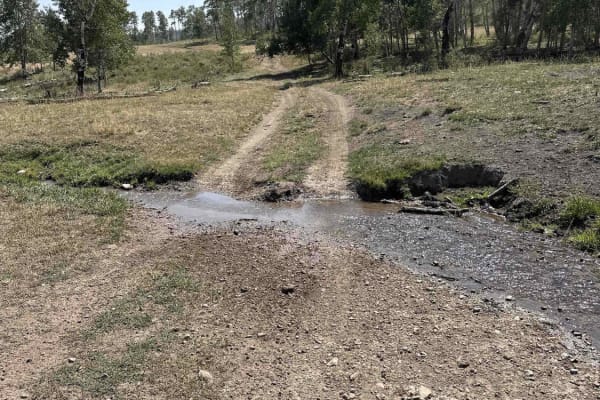
Indian Creek - Cow Camp
This is the most easily runnable Public-Land only route from 10 Mile Pass / Indian Creek area to the Cow Camp area. It is all dirt starting from the Indian Creek trailhead off of 10-mile pass road. This route skirts the northeastern base of the Chesterfield range. You will pass through a variety of...
Learn more about Indian Creek - Cow Camp
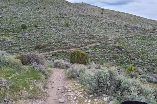
Malad Loop
This loop takes you around the Bannock range North of Malad, ID. It is a mix of roads, ATV trails, and single track. The loop can be ridden in either direction, but the clockwise direction is slightly more difficult due to more technical climbs. There are multiple gates that may be closed during the...
Learn more about Malad Loop
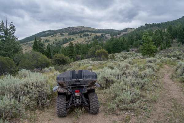
Summit Canyon
Summit Canyon is a scenic and technical 16-mile loop winding through the rugged Bannock Range of southern Idaho, tailored specifically for dirt bike and ATV riders seeking a challenging mountain adventure. Skirting the slopes of Elkhorn Peak within the Caribou-Targhee National Forest, this route is ...
Learn more about Summit Canyon
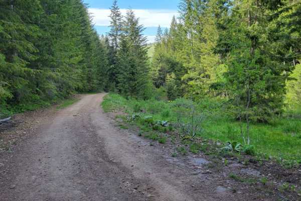
Sheep Canyon 1
This section of trail is one continuous, long hill climb/descent depending which direction you're going. (West to East is uphill). There are some loose rocky patches scattered throughout and a few small mud ruts here and there. The summit of the trail offers amazing views of the surrounding mountain...
Learn more about Sheep Canyon 1
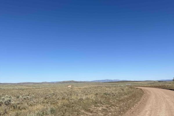
Cranes Flat Cutoff
This trail is a graded gravel cutoff road between Blackfoot Reservoir Road and Bone / Grays Lake Road. It is a generally smooth road through a mix of private cattle ranches and public land. It provides quick access to the Brockman and Caribou Basin areas from Wolverine Canyon and Brush Creek roads,...
Learn more about Cranes Flat Cutoff
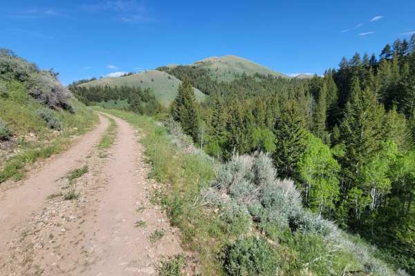
Sheep Canyon 2
This curvy and windy section of Sheep's Canyon hugs alongside the slope of the mountainside, offering beautiful views of the surrounding Sawtooth National Forest. There are loose rocky patches, especially around some of the corners. Mud ruts exist here and there. Caution of standing water/mud holes,...
Learn more about Sheep Canyon 2
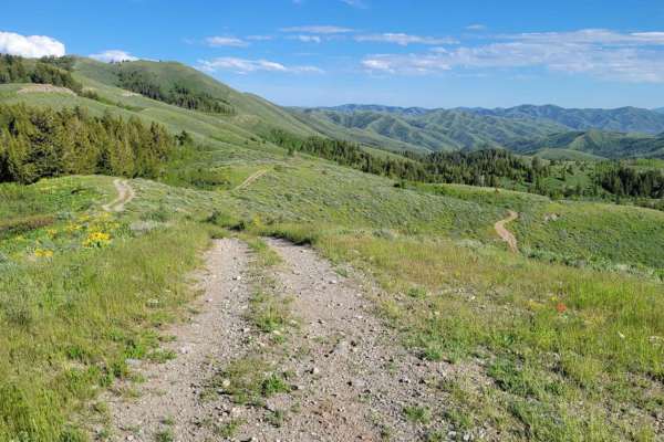
Line Canyon
Line Canyon (Trail #7802) is a thrilling, technical trail designed specifically for riders of four-wheel-drive ATVs, dirt bikes, and narrow SxSs under 50 inches wide looking to challenge themselves with steep climbs and rewards of sweeping panoramic views. Carving through the rugged Sublett Range wi...
Learn more about Line Canyon
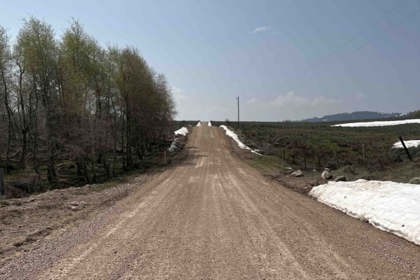
Bone to Wolverine Brush Creek Run
This route is easily passable by any overland rig and most family SUVs. It takes you through a mix of private cattle ranches and public land. You will pass through rolling sagebrush hills and several campsites, including a BLM campground. The latter half of the trail borders the Blackfoot River Cany...
Learn more about Bone to Wolverine Brush Creek Run
ATV trails near Pocatello, Idaho
Explore ATV-friendly trails near you. These trails are accessible for vehicles up to 50 inches wide, perfect for ATVs and smaller off-road machines.
Route 352 to Chinese Peak
Start just off of American Road and West Buckskin Road. The road is marked 352. This short route just outside of Pocatello is thrilling. In about three miles you gain 1700 feet in elevation. In the middle of the trail, there are two smaller mountains that are pretty steep. Both sides of the road hav...
Learn more about Route 352 to Chinese Peak
Inman Canyon-Big Springs
Starting at Inman Canyon Motorized Trailhead, this route will take you on the backroads through the Caribou National Forest and the Portneuf Range. This trail starts out easy with a relatively smooth gravel road, and a few switchbacks. Once you complete this section it becomes very dusty, especially...
Learn more about Inman Canyon-Big Springs
Scout Mountain
Scout Mountain Road is a scenic 11.5-mile drive south of Pocatello, Idaho traversing the Caribou-Targhee National Forest. The route climbs roughly 3,000 feet, winding through pine and aspen forests to offer panoramic views of the Portneuf Range. The surface consists of well-maintained dirt and grave...
Learn more about Scout Mountain
Springfield to Big Southern Butte
This scenic 26.3-mile point-to-point trail is ideal for beginner to intermediate offroaders looking to explore the historic Snake River Plain while taking in views of the iconic Big Southern Butte. Running from Springfield, Idaho, up toward the towering volcanic dome of Big Southern Butte, the route...
Learn more about Springfield to Big Southern Butte
UTV/side-by-side trails near Pocatello, Idaho
Find UTV and side-by-side trails near you. These trails accommodate vehicles up to 60 inches wide, ideal for UTVs, side-by-sides, and wider off-road rigs.
Route 352 to Chinese Peak
Start just off of American Road and West Buckskin Road. The road is marked 352. This short route just outside of Pocatello is thrilling. In about three miles you gain 1700 feet in elevation. In the middle of the trail, there are two smaller mountains that are pretty steep. Both sides of the road hav...
Learn more about Route 352 to Chinese Peak
Inman Canyon-Big Springs
Starting at Inman Canyon Motorized Trailhead, this route will take you on the backroads through the Caribou National Forest and the Portneuf Range. This trail starts out easy with a relatively smooth gravel road, and a few switchbacks. Once you complete this section it becomes very dusty, especially...
Learn more about Inman Canyon-Big Springs
Scout Mountain
Scout Mountain Road is a scenic 11.5-mile drive south of Pocatello, Idaho traversing the Caribou-Targhee National Forest. The route climbs roughly 3,000 feet, winding through pine and aspen forests to offer panoramic views of the Portneuf Range. The surface consists of well-maintained dirt and grave...
Learn more about Scout Mountain
Springfield to Big Southern Butte
This scenic 26.3-mile point-to-point trail is ideal for beginner to intermediate offroaders looking to explore the historic Snake River Plain while taking in views of the iconic Big Southern Butte. Running from Springfield, Idaho, up toward the towering volcanic dome of Big Southern Butte, the route...
Learn more about Springfield to Big Southern Butte
The onX Offroad Difference
onX Offroad combines trail photos, descriptions, difficulty ratings, width restrictions, seasonality, and more in a user-friendly interface. Available on all devices, with offline access and full compatibility with CarPlay and Android Auto. Discover what you're missing today!
Open Trail Map