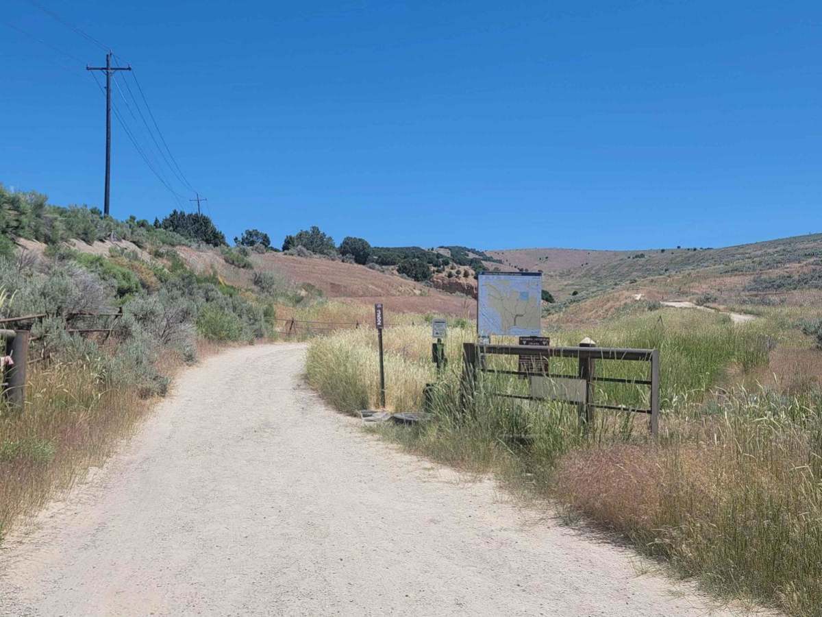
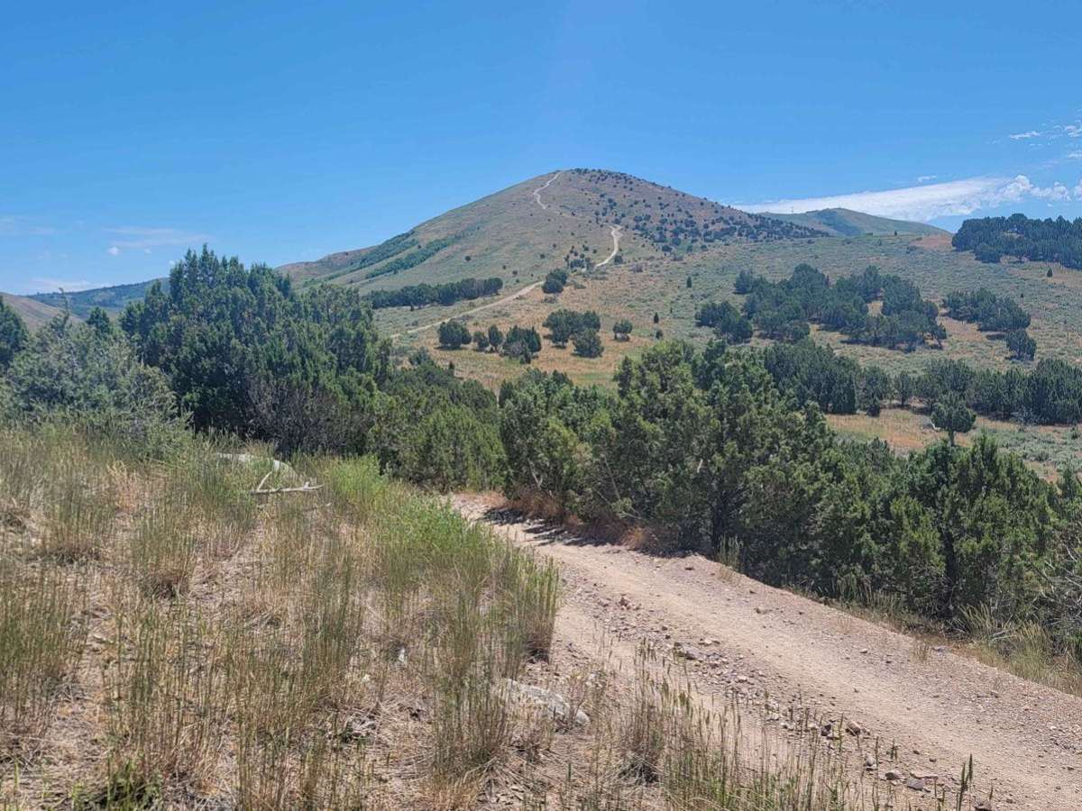
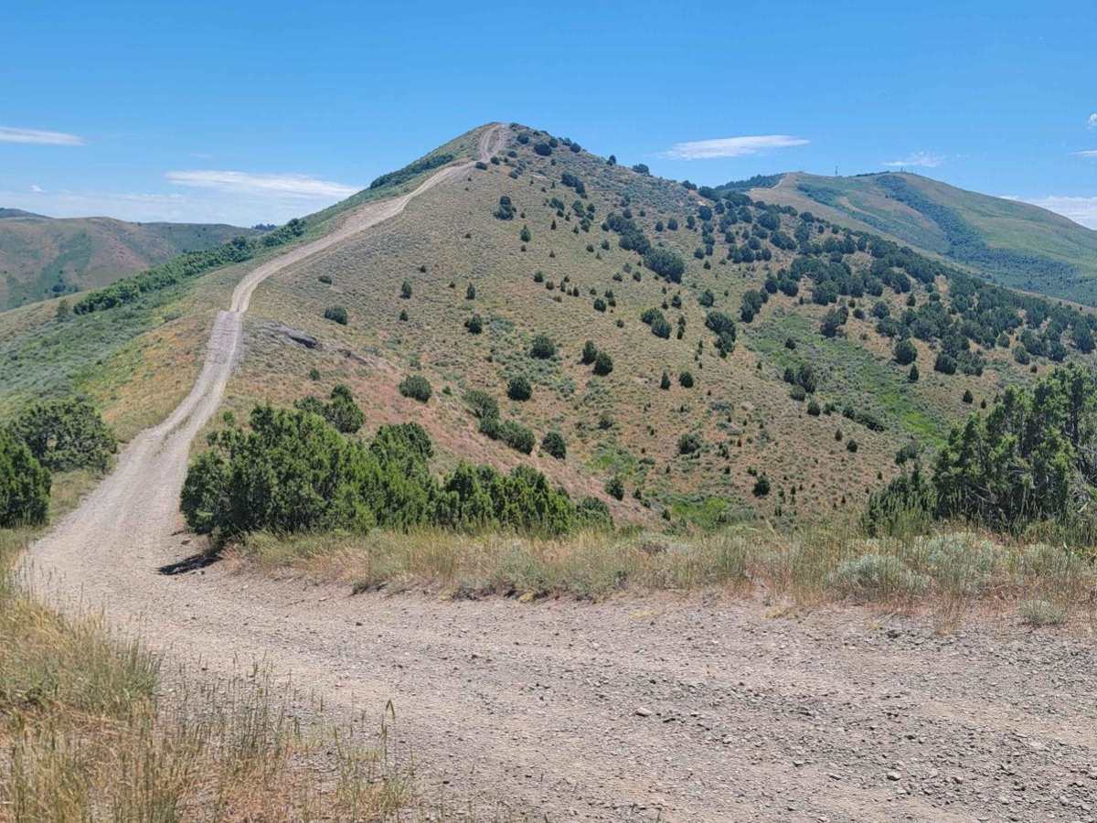
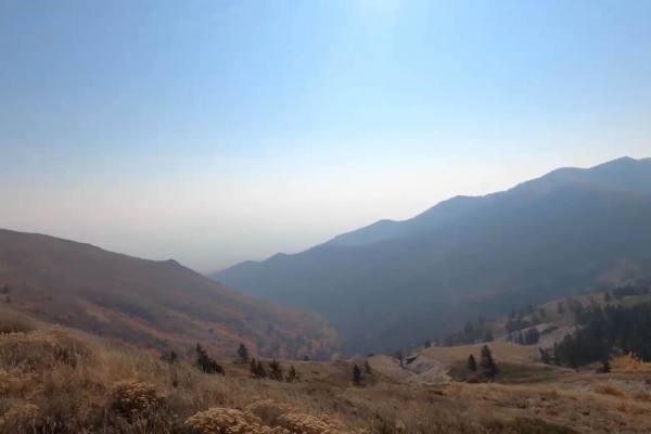
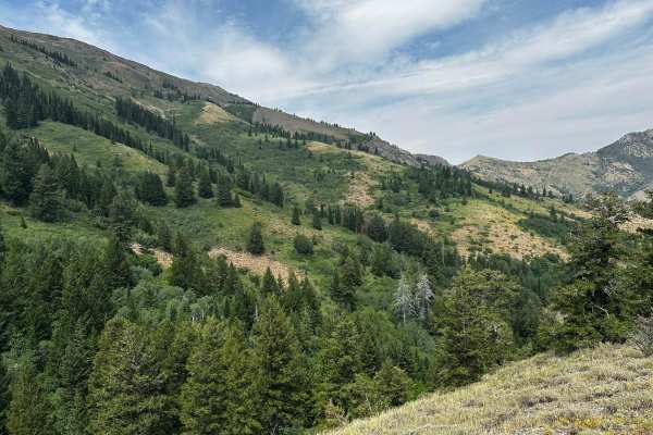
Trail Overview
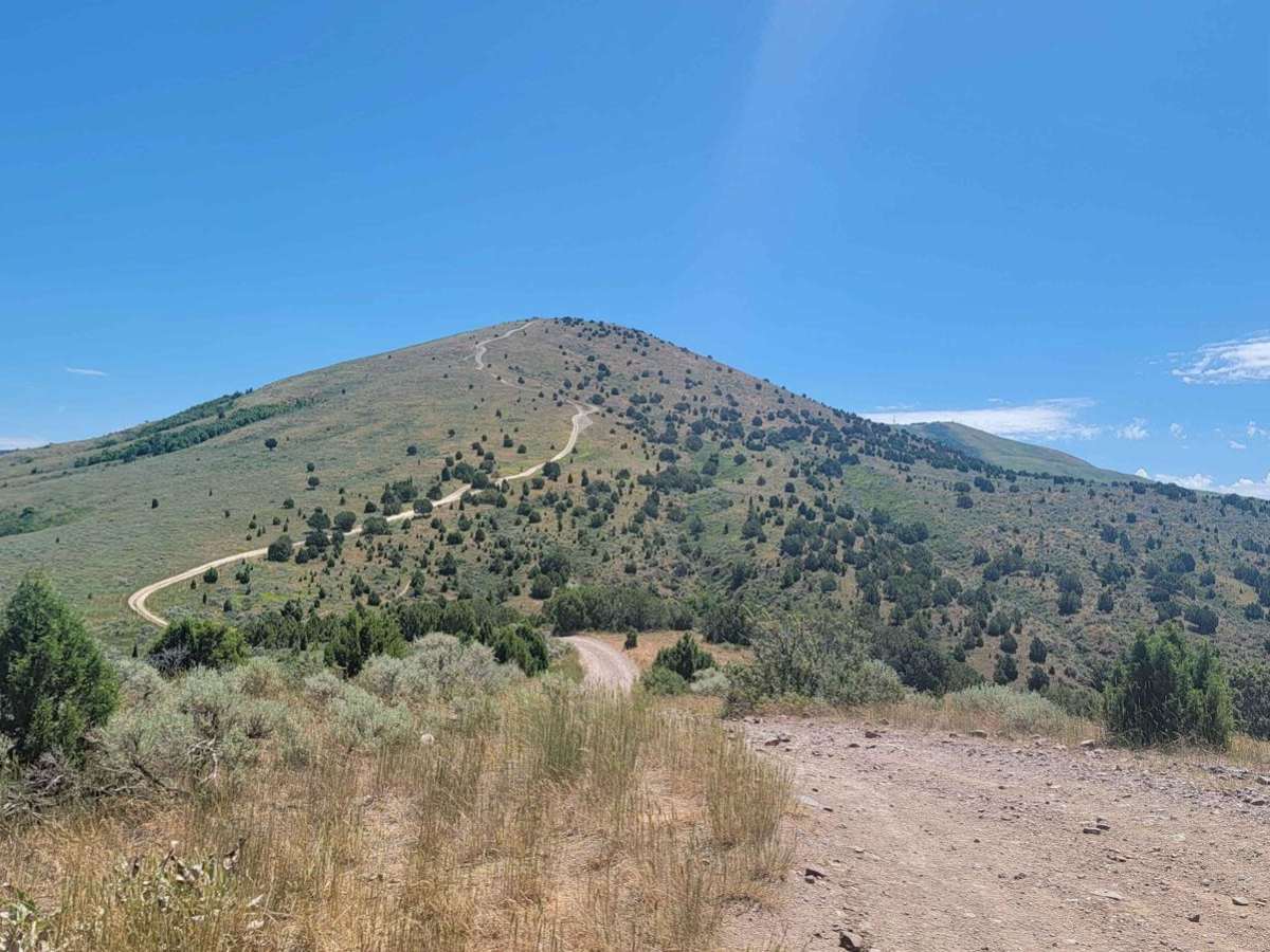
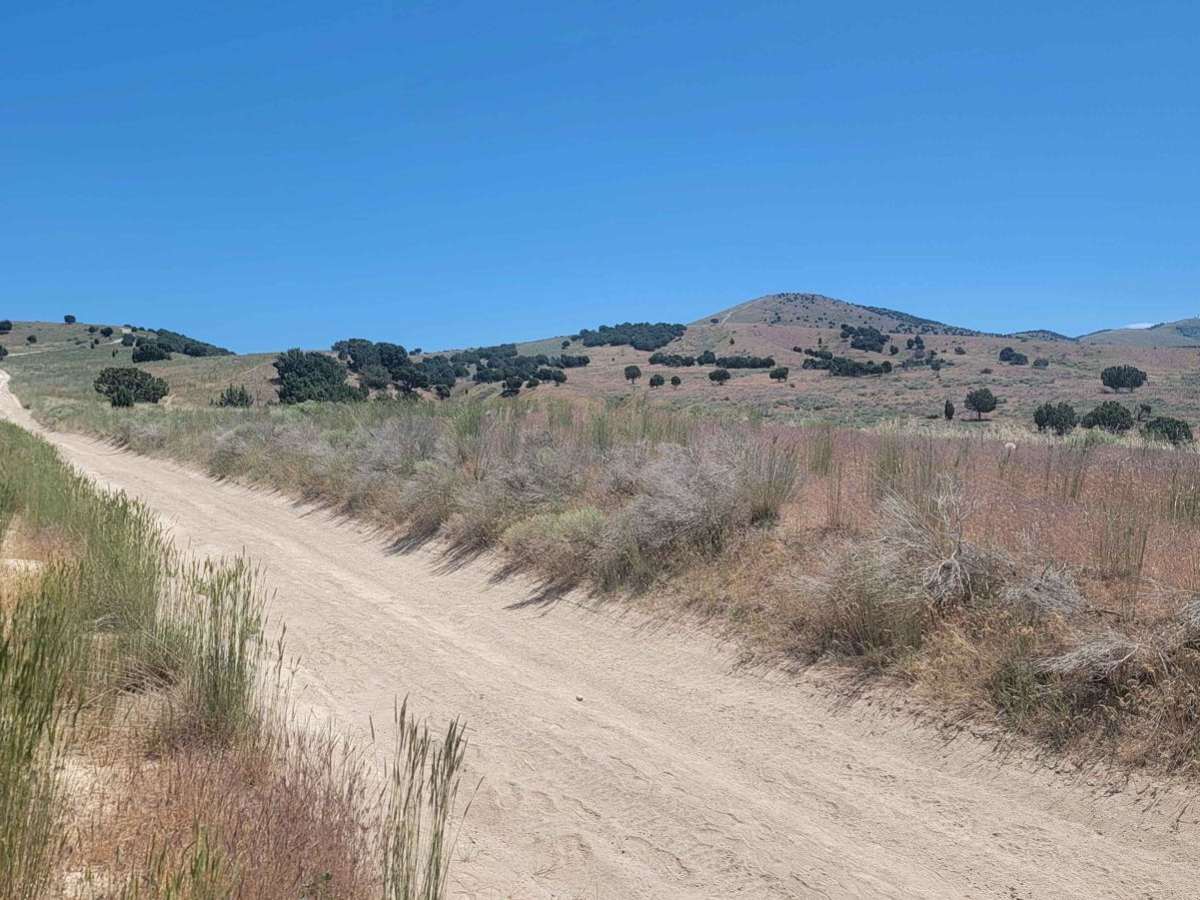
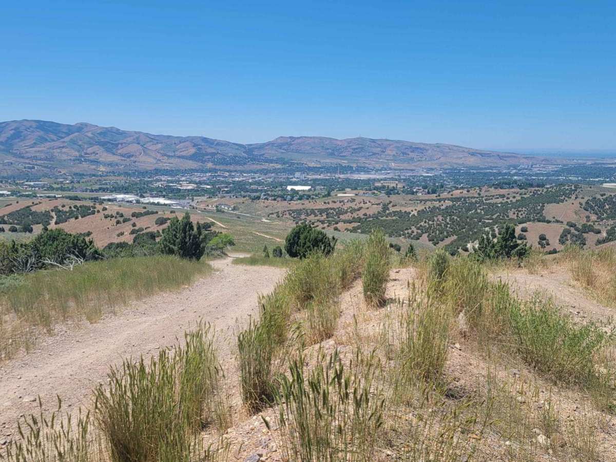
Start just off of American Road and West Buckskin Road. The road is marked 352. This short route just outside of Pocatello is thrilling. In about three miles you gain 1700 feet in elevation. In the middle of the trail, there are two smaller mountains that are pretty steep. Both sides of the road have pretty steep drop-offs. When you get to the top of these you may want a spotter to help guide you so you stay on the trail or you could potentially go off the road. There are a few sections where you can choose an easier obstacle or a more difficult one. There are a lot of sharper rocks on this trail. At the beginning of the first steep section, there is a dusty/sandy obstacle where it is easy to get stuck. Much of the trail has ruts from runoff which can be pretty deep. In the spring this route can be muddy in sections but by June this is pretty dry and dusty of a trail. There are a handful of spots to camp or pull off the road. Watch out for hikers, ATVs, and motorcycles every time I have run this trail I have encountered someone. The drop-offs on a few of the climbs before the main peak can be challenging. Enjoy this trail it is a blast and the views at the top are incredible.
Difficulty
Both sides of the trail at points have steep drops (on both sides of the trail) especially the two hills you climb before you arrive at the peak. There are large rocks and very steep grades. If there is rain or snow this could be a very difficult trail. You may want a spotter. Especially at the tops of the two hills in the middle of the trail. Most of the rocks aren't that tall and you should be able to drive around most of the larger ones.