
Dirt Bike Trails
Near Phoenix, Arizona
Explore All Dirt Bike Trails Near Phoenix, Arizona
Dirt Bike Trails Near Phoenix, Arizona
Discover the best dirt bike trails near you. Browse trail maps, check difficulty ratings, and find your next adventure — whether you're looking for a quick ride or an all-day expedition.
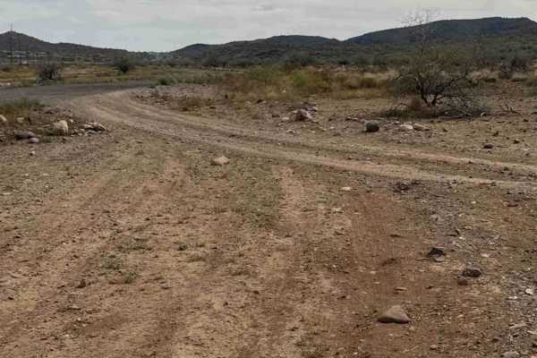
West Desert Hills Trail
West Desert Hills Trail is a bumpy dirt route with many scattered rocks that eventually leads out to a popular shooting area. While the trail is rough in places, there are no technical sections or major obstacles, making it relatively easy to navigate. The trail is lined with desert creosote and cho...
Learn more about West Desert Hills Trail
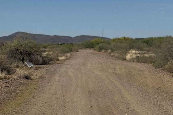
Fence Line Connector
Fence Line Connector is a north–south connector trail linking the Trail of Opportunity with the West Desert Hills Trail. The connection point also serves as an entry access into the surrounding trail system. The route travels over a few small hills with occasional ruts and minor washouts, but there ...
Learn more about Fence Line Connector
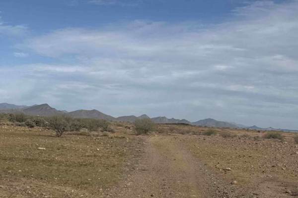
West Rockaway Hills Road
West Rockaway Hills Road serves as a connector trail leading toward the Opportunity Trail. It runs east–west as a point-to-point route and provides a fun drive through the desert. The trail features large ruts formed from past rainfall, so drivers should watch their speed and line choice while trave...
Learn more about West Rockaway Hills Road
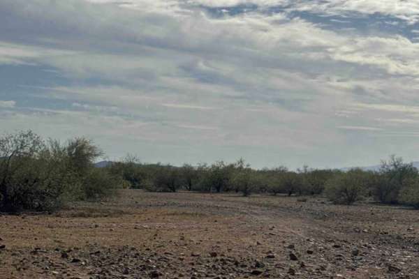
Trail of Opportunity
Trail of Opportunity is a point-to-point connector trail that runs primarily east–west through the desert before turning as it approaches the wash. The route is a dirt and gravel road that is generally easy to drive but can be bumpy with a few scattered rocks along the way. The trail is easy to navi...
Learn more about Trail of Opportunity
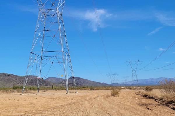
Zip Zap
This power line service trail connects to the Boulder Creek Ranch area. It's primarily easy in technicality, but the southern end of the trail does have a couple of short technical rock garden sections. There are some sandy washes to cross. There is a fence along the Boulder Creek Ranch property lin...
Learn more about Zip Zap
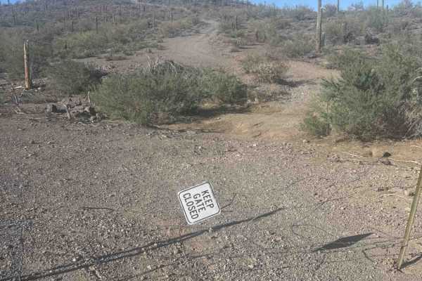
47030
Trail 47030 begins directly off Carefree Highway (Arizona Highway 74), just before the turnoff to Castle Hot Springs Road. Enter through the gate marked “Keep Gate Closed.” From here, the route connects to several neighboring trails, including Trail 47029, which continues into Morgan City Wash. Afte...
Learn more about 47030
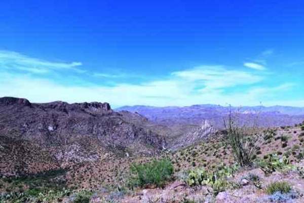
Castle Hot Springs Road
Castle Hot Springs Road is an easy, scenic backcountry drive perfect for anyone looking for a relaxed off-road adventure through the stunning Arizona desert. Spanning approximately 35.7 miles, this route connects Morristown near US Route 60 on the west to State Route 74 near Lake Pleasant on the eas...
Learn more about Castle Hot Springs Road
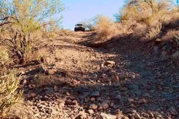
47029
Trail 47029 begins at the top of the hill off Trail 47030. The route opens with relatively easy terrain and offers scenic views of the lake to the north and Highway 74 to the south. The surrounding area includes dispersed campsites, numerous saguaros, and dense cactus patches. Travelers should use c...
Learn more about 47029
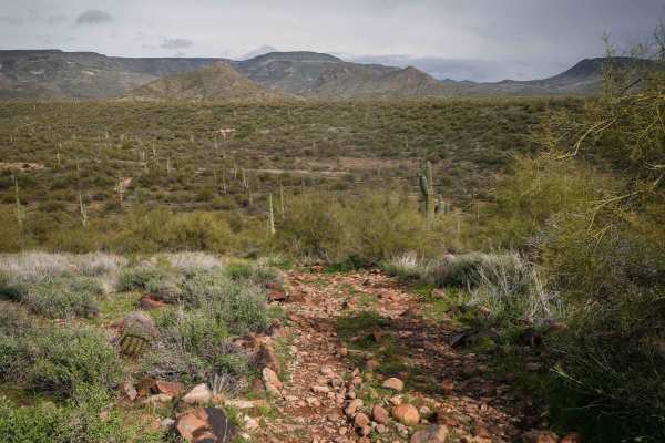
Shoemaker Spring Access Trail
This is a short high-clearance primitive road that starts off of North New River Road and connects to Shoemaker Spring. It's uneven and bumpy, with deep ruts that are filled in with round softball-sized rocks. Loose rocks are strewn about the trail for much of it. It's mostly flat in a green desert ...
Learn more about Shoemaker Spring Access Trail
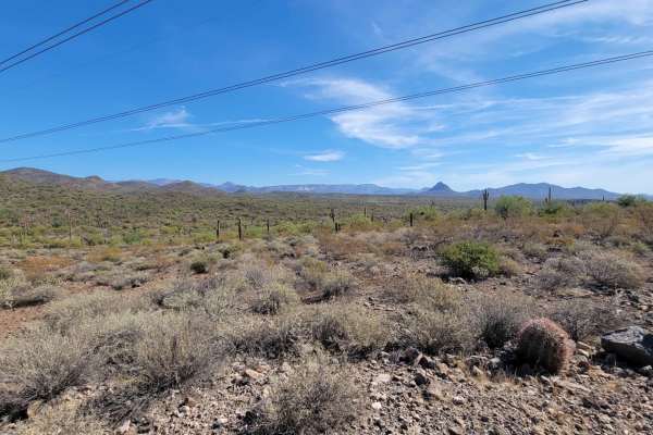
El Paso Pipeline Road
This is a dirt-covered service road that is regularly maintained. It's a fun, easy route for getting to different areas. There's nothing technical about this trail aside from a couple of sandy washes. Note of caution, people tend to drive really fast out here. Trophy trucks and performance side-by-s...
Learn more about El Paso Pipeline Road
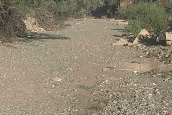
47028
Trail 47028, known as Morgan City Wash, branches to the right directly from Trail 47029. This route follows a simple sandy and rocky wash with several small rock obstacles that provide optional play areas for capable vehicles. The trail continues east before curving right and reaching a dead end at ...
Learn more about 47028
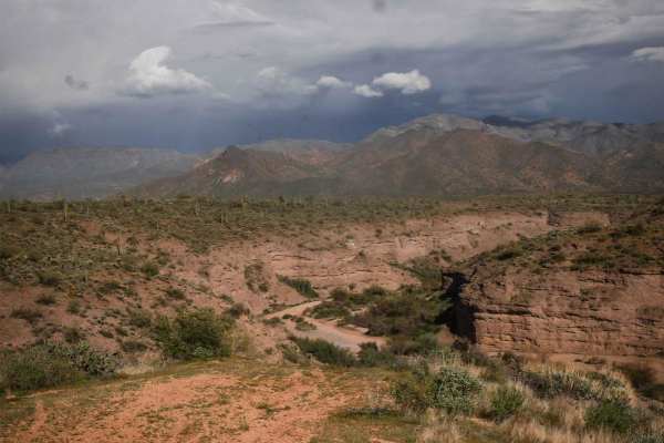
398 Powerline
398 is a longer powerline trail in the Tonto National Forest near Camp Creek, Arizona. It's a main route from the west entrance to this OHV area off of North 14th Street and runs east, accessing tons of 4x4 trails before ending at an overlook of the canyon that is Camp Creek. A lot of it is a wide a...
Learn more about 398 Powerline
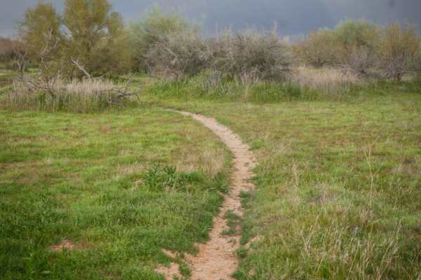
Camp Creek Access Single Track
You can take this short single track from the staging area off of North 14th Street to access the Powerline Trail, which will take you to the many other off-roading trails in this zone of the Tonto National Forest. The trail is a mile-long meander through the green desert landscape full of saguaros ...
Learn more about Camp Creek Access Single Track
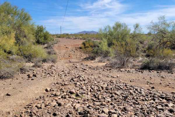
Cactus Express
A quick, short little section of trail that connects Lake Pleasant road to Saguaro Way trail, which leads to a shooting area. There is nothing terribly technical about this route aside from a couple of rocky sections to navigate, one of which is on a slight grade. There is also a short sandy wash to...
Learn more about Cactus Express
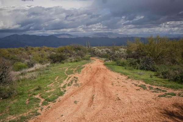
Camp Creek Access ATV Trail
This is a short ATV trail in the Tonto National Forest that accesses hundreds of miles of trails near Camp Creek, Arizona. Although accessible by ATV, it's more like a single track and is mostly ridden by dirt bikes because it's pretty narrow. It goes flat and straight through green desert terrain w...
Learn more about Camp Creek Access ATV Trail
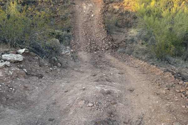
47019
The trail starts right off Castle Hot Springs Road, with a convenient area to air down and prep before hitting the trail. You’ll immediately descend into the wash and begin your journey on Trail 47019. The trail winds in and out of the powerline right of way, with rocky sections that take you throug...
Learn more about 47019
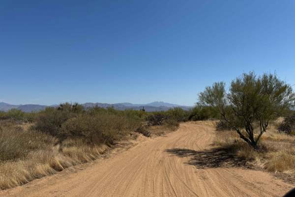
Entrance Trail to the Tonto National Forest Desert Vista OHV
This is the new entrance trail to the Tonto National Forest Desert Vista OHV Area as of October 2024. The entrance used to be farther north, but after the closure due to fires, the USFS built a new entrance trail to the system. This trail is difficult to find from the trail system, so look for the S...
Learn more about Entrance Trail to the Tonto National Forest Desert Vista OHV
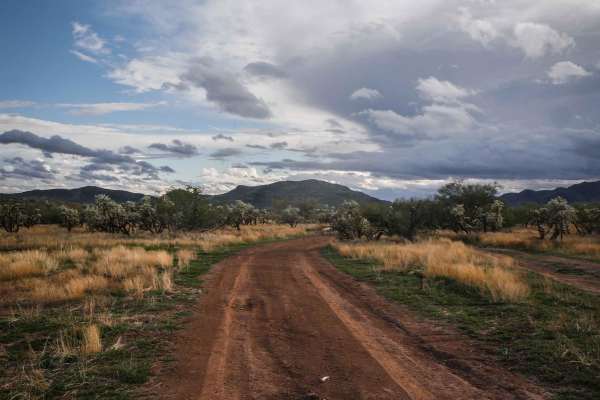
3200
3200 is a shortcut between two halves of the Quail Springs Loop. This trail is more ridden and beat in. It's a hardpack dirt surface with some loose rocks, some steeper grades, and ruts on the sides of the trail, but is much less rocky than Shoemaker, 3197, and 497. It goes through wide-open desert ...
Learn more about 3200
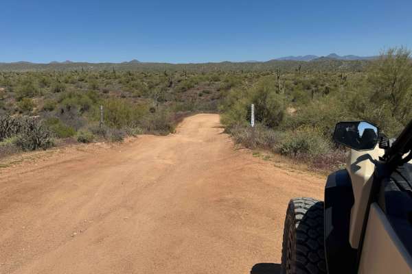
Tonto Trail 2123/2124 to Camp Creek Wash 413
This trail is the most direct way to get down to the Camp Creek Wash (Trail 413) from the 144th Street entrance to the Tonto National Forest trails system. This trail is a mixture of hard-pack dirt, deep sand, rocks, and a mixture of all the above. It is a narrow trail used by SxSs, but Jeeps could ...
Learn more about Tonto Trail 2123/2124 to Camp Creek Wash 413
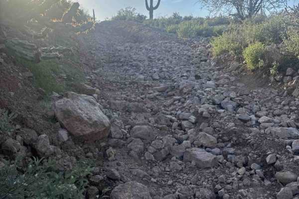
47037
This trail is a challenging connector route featuring rocky dirt surfaces, steep washed-out hills, deep ruts, loose rock, and multiple eroded sections along a shelf road that runs above and alongside Castle Hot Springs Road. High-clearance four-wheel drive vehicles are required due to rough terrain ...
Learn more about 47037
ATV trails near Phoenix, Arizona
Explore ATV-friendly trails near you. These trails are accessible for vehicles up to 50 inches wide, perfect for ATVs and smaller off-road machines.
West Desert Hills Trail
West Desert Hills Trail is a bumpy dirt route with many scattered rocks that eventually leads out to a popular shooting area. While the trail is rough in places, there are no technical sections or major obstacles, making it relatively easy to navigate. The trail is lined with desert creosote and cho...
Learn more about West Desert Hills Trail
Fence Line Connector
Fence Line Connector is a north–south connector trail linking the Trail of Opportunity with the West Desert Hills Trail. The connection point also serves as an entry access into the surrounding trail system. The route travels over a few small hills with occasional ruts and minor washouts, but there ...
Learn more about Fence Line Connector
West Rockaway Hills Road
West Rockaway Hills Road serves as a connector trail leading toward the Opportunity Trail. It runs east–west as a point-to-point route and provides a fun drive through the desert. The trail features large ruts formed from past rainfall, so drivers should watch their speed and line choice while trave...
Learn more about West Rockaway Hills Road
Trail of Opportunity
Trail of Opportunity is a point-to-point connector trail that runs primarily east–west through the desert before turning as it approaches the wash. The route is a dirt and gravel road that is generally easy to drive but can be bumpy with a few scattered rocks along the way. The trail is easy to navi...
Learn more about Trail of Opportunity
UTV/side-by-side trails near Phoenix, Arizona
Find UTV and side-by-side trails near you. These trails accommodate vehicles up to 60 inches wide, ideal for UTVs, side-by-sides, and wider off-road rigs.
West Desert Hills Trail
West Desert Hills Trail is a bumpy dirt route with many scattered rocks that eventually leads out to a popular shooting area. While the trail is rough in places, there are no technical sections or major obstacles, making it relatively easy to navigate. The trail is lined with desert creosote and cho...
Learn more about West Desert Hills Trail
Fence Line Connector
Fence Line Connector is a north–south connector trail linking the Trail of Opportunity with the West Desert Hills Trail. The connection point also serves as an entry access into the surrounding trail system. The route travels over a few small hills with occasional ruts and minor washouts, but there ...
Learn more about Fence Line Connector
West Rockaway Hills Road
West Rockaway Hills Road serves as a connector trail leading toward the Opportunity Trail. It runs east–west as a point-to-point route and provides a fun drive through the desert. The trail features large ruts formed from past rainfall, so drivers should watch their speed and line choice while trave...
Learn more about West Rockaway Hills Road
Trail of Opportunity
Trail of Opportunity is a point-to-point connector trail that runs primarily east–west through the desert before turning as it approaches the wash. The route is a dirt and gravel road that is generally easy to drive but can be bumpy with a few scattered rocks along the way. The trail is easy to navi...
Learn more about Trail of Opportunity
The onX Offroad Difference
onX Offroad combines trail photos, descriptions, difficulty ratings, width restrictions, seasonality, and more in a user-friendly interface. Available on all devices, with offline access and full compatibility with CarPlay and Android Auto. Discover what you're missing today!
Open Trail Map