Trail Overview
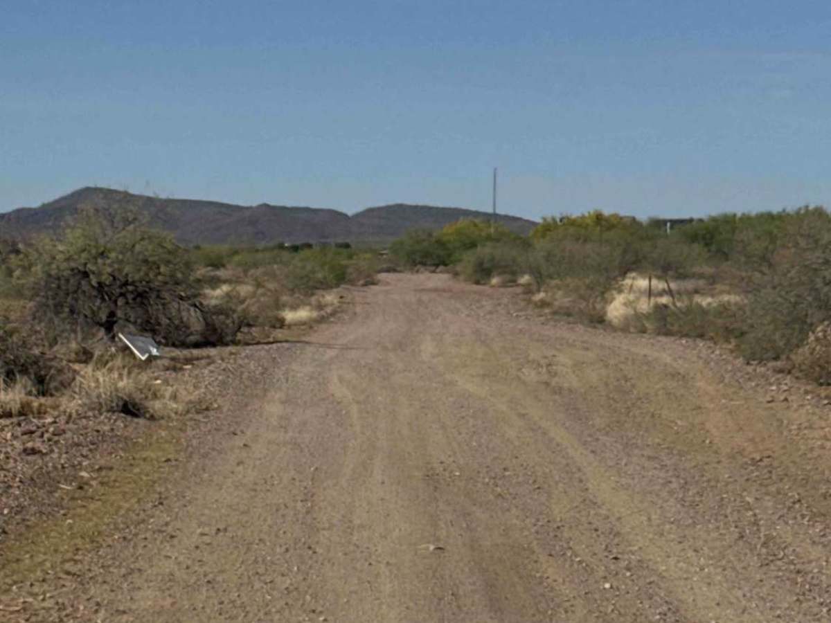
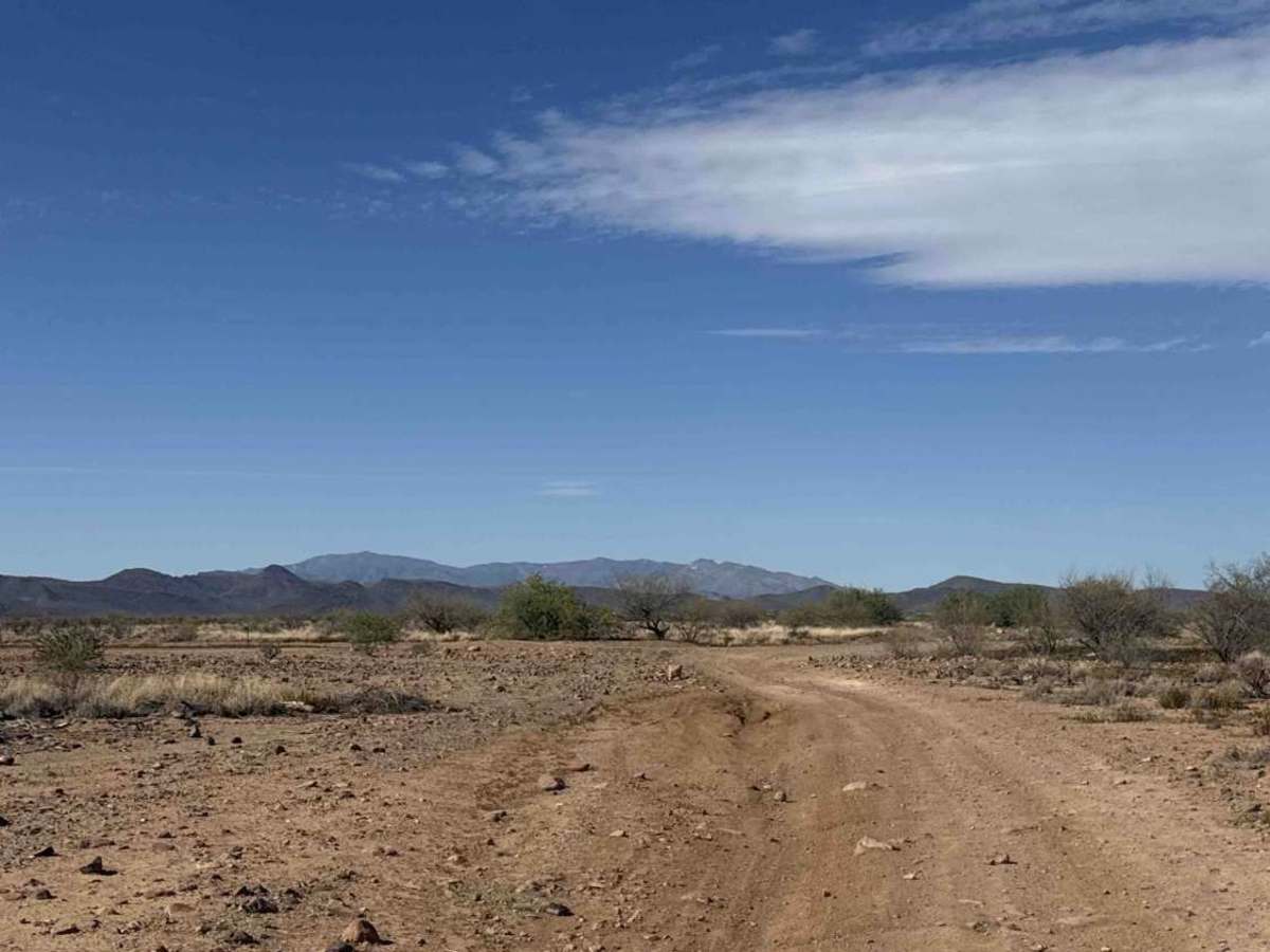
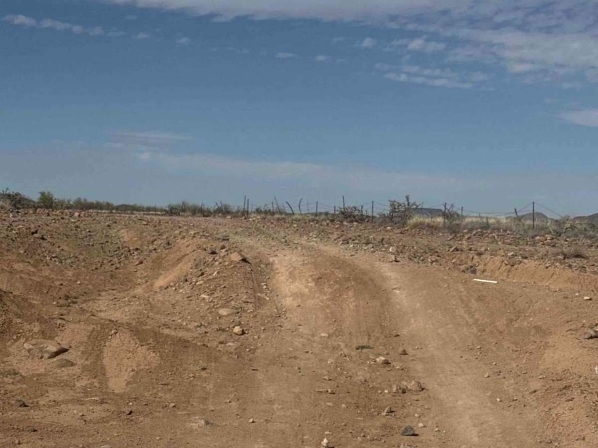
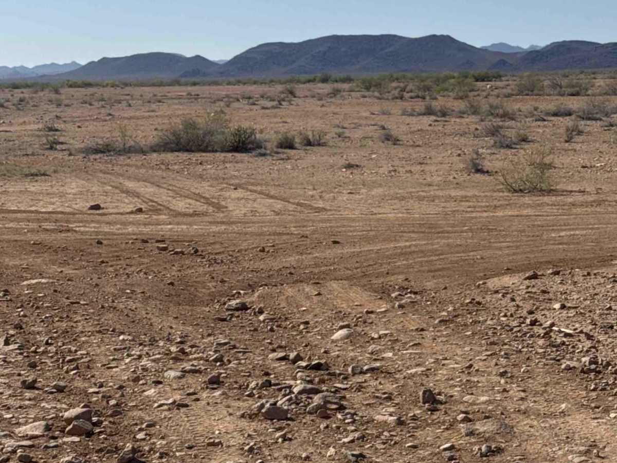
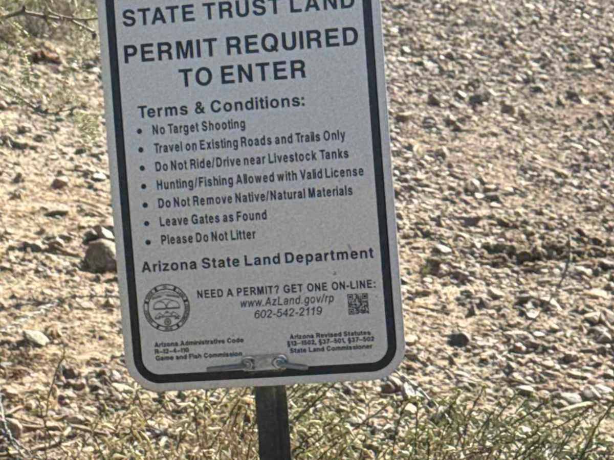
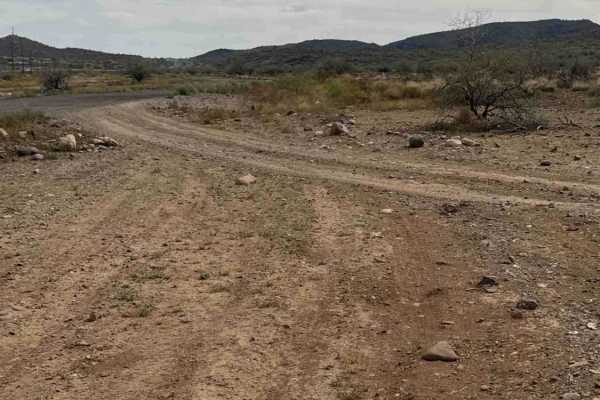
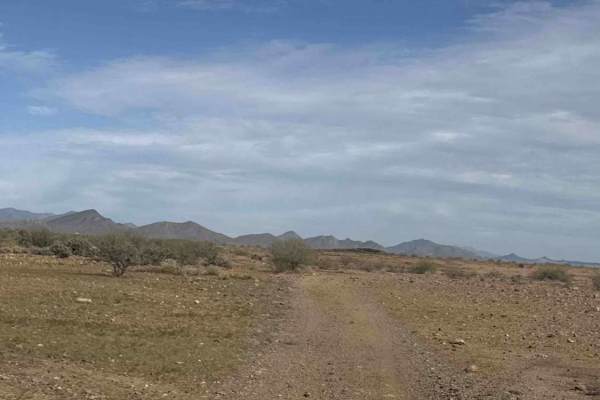
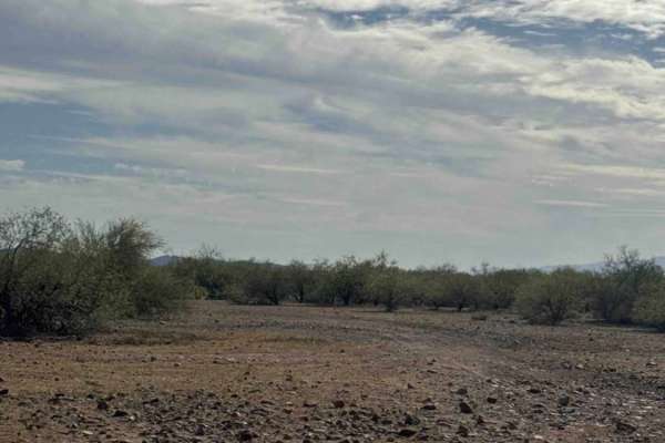
Fence Line Connector is a north–south connector trail linking the Trail of Opportunity with the West Desert Hills Trail. The connection point also serves as an entry access into the surrounding trail system. The route travels over a few small hills with occasional ruts and minor washouts, but there are no significant obstacles or technical sections. The trail is lined with typical Sonoran Desert vegetation, including creosote and cholla cactus. Overall, it’s an excellent and easy connector trail for navigating between routes in the area. This trail is located on Arizona State Trust Land, and a State Trust Land permit is required for access.
Difficulty
Fence Line Connector is a north–south connector trail linking the Trail of Opportunity with the West Desert Hills Trail. The connection point also serves as an entry access into the surrounding trail system. The route travels over a few small hills with occasional ruts and minor washouts, but there are no significant obstacles or technical sections. The trail is lined with typical Sonoran Desert vegetation, including creosote and cholla cactus. Overall, it’s an excellent and easy connector trail for navigating between routes in the area. This trail is located on Arizona State Trust Land, and a State Trust Land permit is required for access.