
Dirt Bike Trails
Near Panguitch, Utah
Explore All Dirt Bike Trails Near Panguitch, Utah
Dirt Bike Trails Near Panguitch, Utah
Discover the best dirt bike trails near you. Browse trail maps, check difficulty ratings, and find your next adventure — whether you're looking for a quick ride or an all-day expedition.
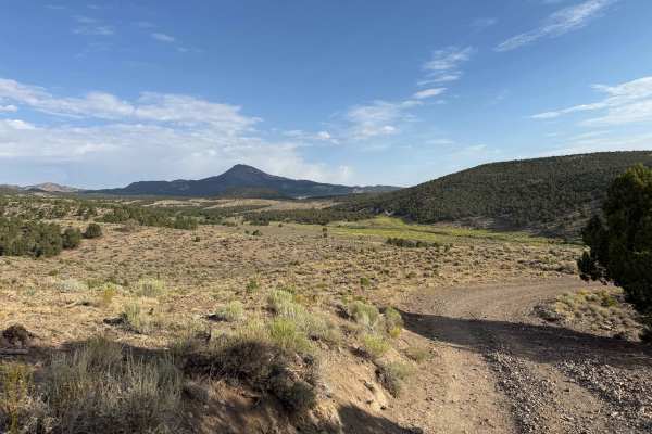
Spry Cemetery - FS 2100, 2750, 2800
This is a portion of what can be combined with two other trails to make a fun loop of approximately 45 miles of trails, all rated in the easy category. This trail starts on the edge of Panguitch, Utah, and traverses rolling hills with fabulous views of the surrounding area. This is a well-traveled l...
Learn more about Spry Cemetery - FS 2100, 2750, 2800
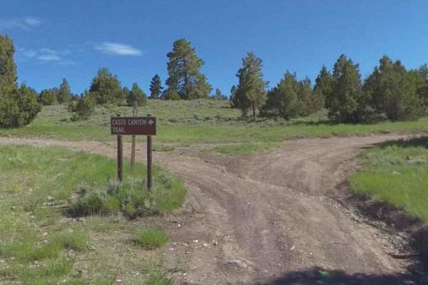
Limekiln Road-BLM2350
Limekiln Road is a point-to-point single-track trails east of the community of Panguitch. Limekiln Road is the north access route to Casto Canyon ATV Trail (50" or less). This trail is rated 3 of 10. Limekiln Road starts just outside the municipal airport on Airport Road. 3-miles east past Panguitch...
Learn more about Limekiln Road-BLM2350
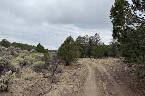
Tebbs Hollow/Sandy Creek - FS 2900, 3200.1.19
This trail section begins at the Spry Cemetery. This is a historic cemetery and is worth the stop to walk around and see the family names of many who risked everything to homestead this area. You are also just west of the location where Fort Stanford was located in the late 1800s. Nothing remains of...
Learn more about Tebbs Hollow/Sandy Creek - FS 2900, 3200.1.19

Sandy Caddy Creek Loop
Sandy Caddy Creek Loop starts as a class 2 trail that winds up to a view to overlooks the town of Panguitch, Utah. The trails continue traveling on top of the mountain top and turn to a class 3 as you entire rock fields. You'll begin to traverse down from the top of the mountain and turn left to con...
Learn more about Sandy Caddy Creek Loop
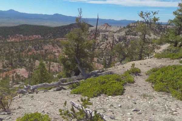
Peterson Point-NFR30697
Peterson Point-NFR30697 is a 2.6-mile (5.2-mile) out-and-back trail rated 3 of 10 located within the Powell Ranger District of the Dixie National Forest. This dirt track forest road can be reached from Limekiln Road-BLM2350. The first half of this trail runs through the valley floor before ascending...
Learn more about Peterson Point-NFR30697
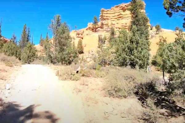
Barney Cove ATV Trail-NPS33014
Barney Cove ATV Trail-NPS33014 is a 1.8-mile ATV (50" or less) trail rated 3 of 10 located in the Dixie National Forest. This trail can be run as a point-to-point or combined with several other 4x4 forest roads to create a looping ride. This trail is considered easy and suitable for beginners. This ...
Learn more about Barney Cove ATV Trail-NPS33014
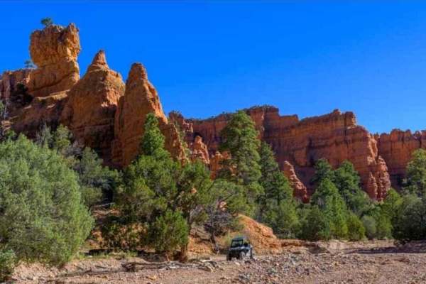
Casto Canyon OHV Trail-NFS33089
Casto Canyon OHV Trail-NFS33089 is a 3.6-mile ATV (50" or less) trail rated 3 of 10 located in the Dixie National Forest. This trail can be run as a point-to-point or combined with several other 4x4 forest roads to create a looping ride. This trail is considered easy and suitable for beginners. This...
Learn more about Casto Canyon OHV Trail-NFS33089
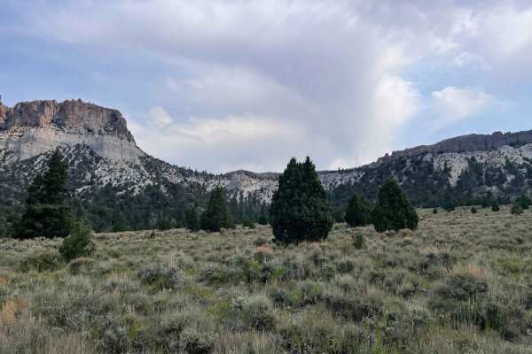
Casto Bowl - BLM 30116
This trail traverses a large geographic bowl with beautiful views of the surrounding area. While the maps show it as Casto Bluff the locals call it Casto Bowl. It is a single-track trail that is generally easy except for one small area, that has an underground spring, which can be boogy and washed i...
Learn more about Casto Bowl - BLM 30116
Butch Cassidy’s Hideout - FS 30121
This is a fun, short side trip into a piece of the life of a local legend. Butch Cassidy was an infamous outlaw whose life was portrayed in the classic Robert Redford movie. He roamed all over this region. He was continually being hunted, so he found or built locations to hide when the sheriff would...
Learn more about Butch Cassidy’s Hideout - FS 30121
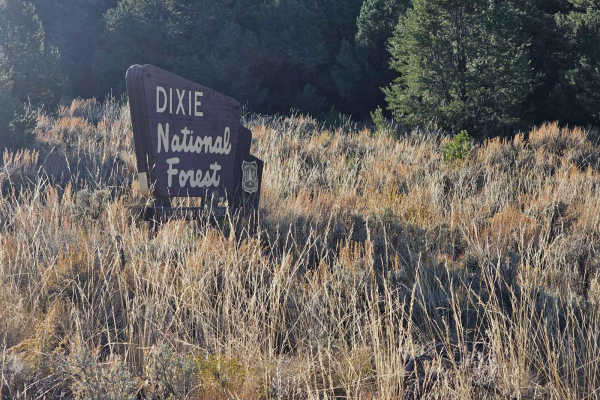
30129 Sanford-Smith Canyon-Fremont ATV
Sanford-Smith Canyon, also known as the Fremont ATV road (30129), offers a stunning journey through diverse landscapes. As you traverse this route, you'll encounter open valleys, dense groves of aspen trees, captivating rock formations, and panoramic vistas of a distant city. The majority of this tr...
Learn more about 30129 Sanford-Smith Canyon-Fremont ATV
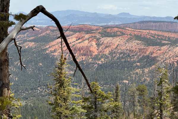
Proctor Canyon - FS 30109
This road is a beautiful ride that takes you through some of the most spectacular red sandstone cliff faces and majestic views you can imagine. This area recently suffered a devastating fire that destroyed many of the trees and lower vegetation. The views are still spectacular, but it will take time...
Learn more about Proctor Canyon - FS 30109
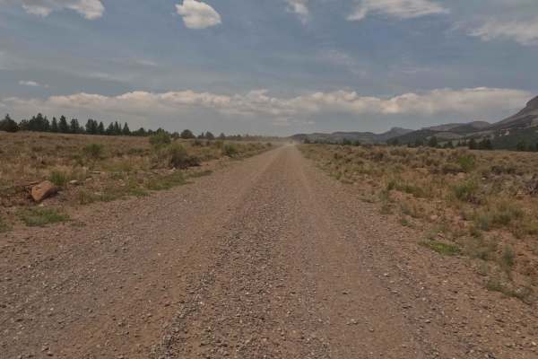
Toms Best Spring Road (BLM 33001A-30117)
This is a two-lane maintained gravel road that connects Johns Valley Road to Hwy 12 west of Bryce Canyon. It is a good road however, there are some sharper curves and hills that can cause issues if you travel too fast on the loose gravel surface. Take your time and enjoy the beautiful surroundings.
Learn more about Toms Best Spring Road (BLM 33001A-30117)
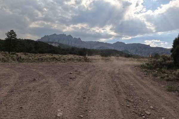
Freemont ATV Trail South (BLM 33002)
This section is part of a much longer trail that runs from the Sanford area, on the north, to the south of Highway 12 about 20 miles. This section is one of the most scenic sections for the topography and colors of the embedded minerals. This is also a section of trail you do not want to be on if th...
Learn more about Freemont ATV Trail South (BLM 33002)
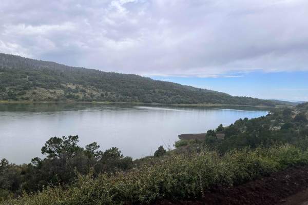
Red Creek Road (FR30078)
Red Creek Road is a maintained Forest Service Road that is traveled frequently to Red Creek Reservoir from Paragonah. The route also leads to many other mountain roads and can be used as a connector to trails to cross the mountain to Panguitch. The trail on the west side of the reservoir takes you t...
Learn more about Red Creek Road (FR30078)

Caddy Creek/Little Valley
While Climbing Horse Valley/Markagunt Plateau Caddy Creek will turn to the left. This will be a class 2 road providing beautiful scenery and amazing views. This is mainly gravel with some creek crossings. Check weather conditions route may turn muddy and slippery, while dry creek beds may start to f...
Learn more about Caddy Creek/Little Valley
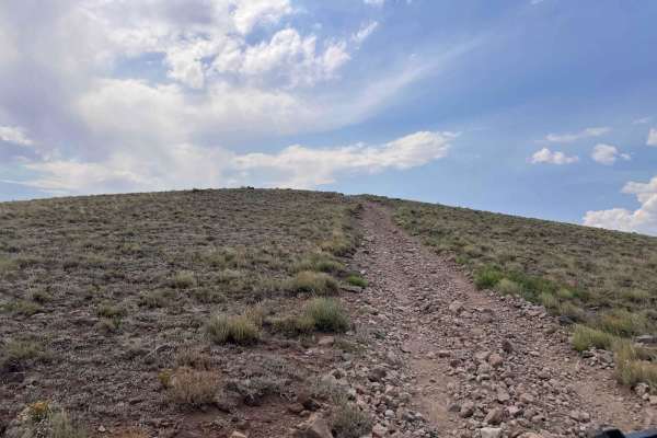
Center Creek - Flattop (BLM 30191/30190)
This trail brings you down the mountain after your climb alone West Hunt Creek. At the top, you can proceed east to climb higher and then come down using Flattop. This is a prime hunting area, so there are many less-traveled trails to explore. At the intersection of the West Hunt Trail, there is a g...
Learn more about Center Creek - Flattop (BLM 30191/30190)
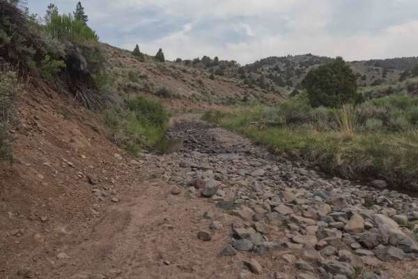
West Hunt Creek - BLM 30122
This is a beautiful climb through some challenging areas with steeper grades and lots of rocks. The trail is manageable by most off-road capable vehicles but 4WD is a necessity. There are great rock features that offer some additional excitement to the trail. There are areas near the top that offer ...
Learn more about West Hunt Creek - BLM 30122
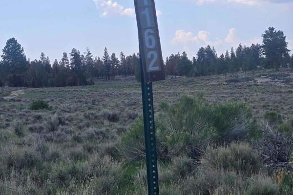
Tom's Best - Flake Swale Trail (FSR 1162)
This is a short but interesting trail between Tom's Best Spring Road and Gussie Draw Trail. There are interesting rock formations, and you will be driving through a forest. Some of the trees were burned in a recent fire near Bryce Canyon in 2024. This was an easy trail with no major obstacles.
Learn more about Tom's Best - Flake Swale Trail (FSR 1162)
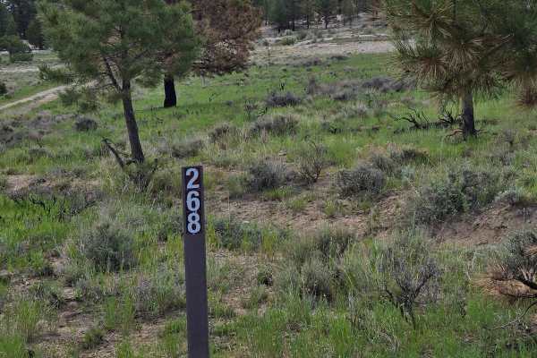
Hill and Dale - FSR 30268
This trail runs between Tom's Best Spring Road (BLM 33001A-30117) and Flake Swale (FSR 30293), aka Gussie Draw. This fun trail follows a seasonal creek bed through pines and open grassy plains. This trail is north of Bryce Canyon. If you look in the distance, you will see the signature orangy color ...
Learn more about Hill and Dale - FSR 30268
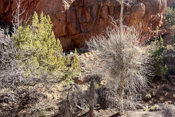
Little Creek Road West
Part of the "Old Spanish Trail" original route in the Dixie National Forest. The trailhead is very close to the I-15. This trail follows a "little creek" most of the way. Very passible when the trail is dry. This is a good "choose your own adventure." There are many different trails you can connec...
Learn more about Little Creek Road West
ATV trails near Panguitch, Utah
Explore ATV-friendly trails near you. These trails are accessible for vehicles up to 50 inches wide, perfect for ATVs and smaller off-road machines.
Spry Cemetery - FS 2100, 2750, 2800
This is a portion of what can be combined with two other trails to make a fun loop of approximately 45 miles of trails, all rated in the easy category. This trail starts on the edge of Panguitch, Utah, and traverses rolling hills with fabulous views of the surrounding area. This is a well-traveled l...
Learn more about Spry Cemetery - FS 2100, 2750, 2800
Limekiln Road-BLM2350
Limekiln Road is a point-to-point single-track trails east of the community of Panguitch. Limekiln Road is the north access route to Casto Canyon ATV Trail (50" or less). This trail is rated 3 of 10. Limekiln Road starts just outside the municipal airport on Airport Road. 3-miles east past Panguitch...
Learn more about Limekiln Road-BLM2350
Tebbs Hollow/Sandy Creek - FS 2900, 3200.1.19
This trail section begins at the Spry Cemetery. This is a historic cemetery and is worth the stop to walk around and see the family names of many who risked everything to homestead this area. You are also just west of the location where Fort Stanford was located in the late 1800s. Nothing remains of...
Learn more about Tebbs Hollow/Sandy Creek - FS 2900, 3200.1.19
Sandy Caddy Creek Loop
Sandy Caddy Creek Loop starts as a class 2 trail that winds up to a view to overlooks the town of Panguitch, Utah. The trails continue traveling on top of the mountain top and turn to a class 3 as you entire rock fields. You'll begin to traverse down from the top of the mountain and turn left to con...
Learn more about Sandy Caddy Creek Loop
UTV/side-by-side trails near Panguitch, Utah
Find UTV and side-by-side trails near you. These trails accommodate vehicles up to 60 inches wide, ideal for UTVs, side-by-sides, and wider off-road rigs.
Spry Cemetery - FS 2100, 2750, 2800
This is a portion of what can be combined with two other trails to make a fun loop of approximately 45 miles of trails, all rated in the easy category. This trail starts on the edge of Panguitch, Utah, and traverses rolling hills with fabulous views of the surrounding area. This is a well-traveled l...
Learn more about Spry Cemetery - FS 2100, 2750, 2800
Limekiln Road-BLM2350
Limekiln Road is a point-to-point single-track trails east of the community of Panguitch. Limekiln Road is the north access route to Casto Canyon ATV Trail (50" or less). This trail is rated 3 of 10. Limekiln Road starts just outside the municipal airport on Airport Road. 3-miles east past Panguitch...
Learn more about Limekiln Road-BLM2350
Tebbs Hollow/Sandy Creek - FS 2900, 3200.1.19
This trail section begins at the Spry Cemetery. This is a historic cemetery and is worth the stop to walk around and see the family names of many who risked everything to homestead this area. You are also just west of the location where Fort Stanford was located in the late 1800s. Nothing remains of...
Learn more about Tebbs Hollow/Sandy Creek - FS 2900, 3200.1.19
Sandy Caddy Creek Loop
Sandy Caddy Creek Loop starts as a class 2 trail that winds up to a view to overlooks the town of Panguitch, Utah. The trails continue traveling on top of the mountain top and turn to a class 3 as you entire rock fields. You'll begin to traverse down from the top of the mountain and turn left to con...
Learn more about Sandy Caddy Creek Loop
The onX Offroad Difference
onX Offroad combines trail photos, descriptions, difficulty ratings, width restrictions, seasonality, and more in a user-friendly interface. Available on all devices, with offline access and full compatibility with CarPlay and Android Auto. Discover what you're missing today!
Open Trail Map