Limekiln Road-BLM2350

Total Miles 12.6
Technical Rating
3 Easy
Best Time Spring, Summer, Fall
Trail Type Full-Width Road
Accessible By
Open Trail Map

Trail Overview

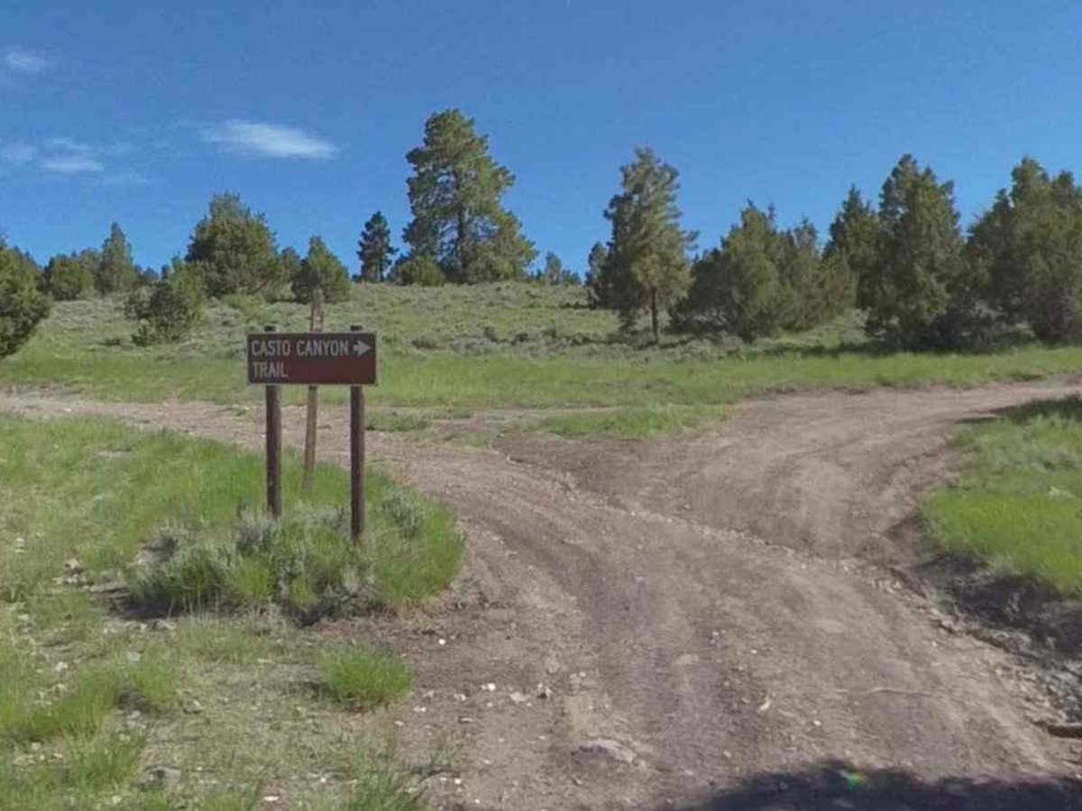
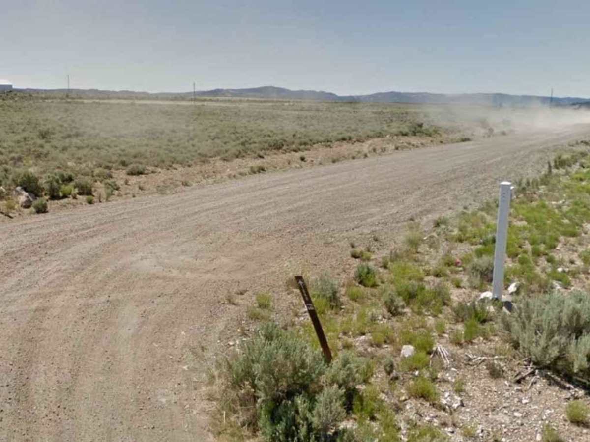
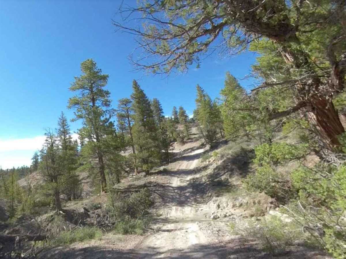
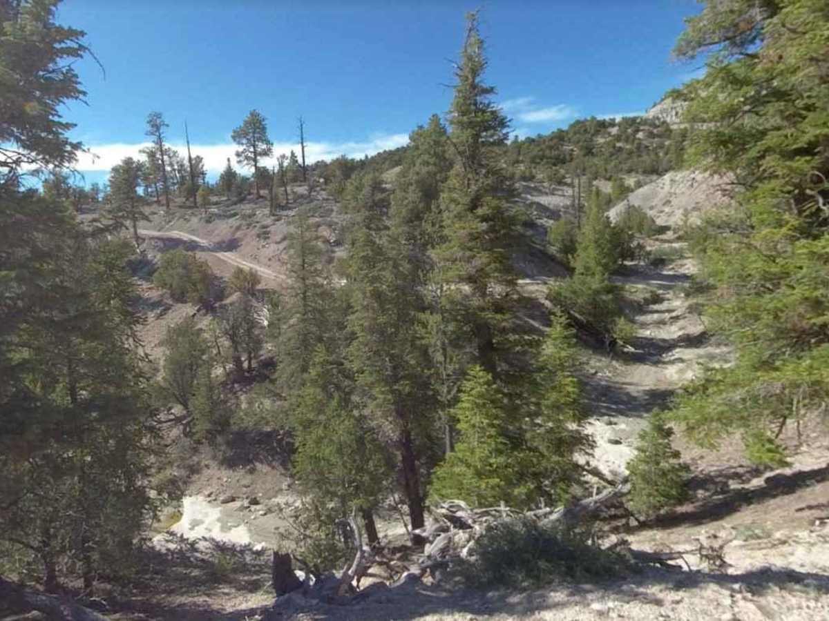
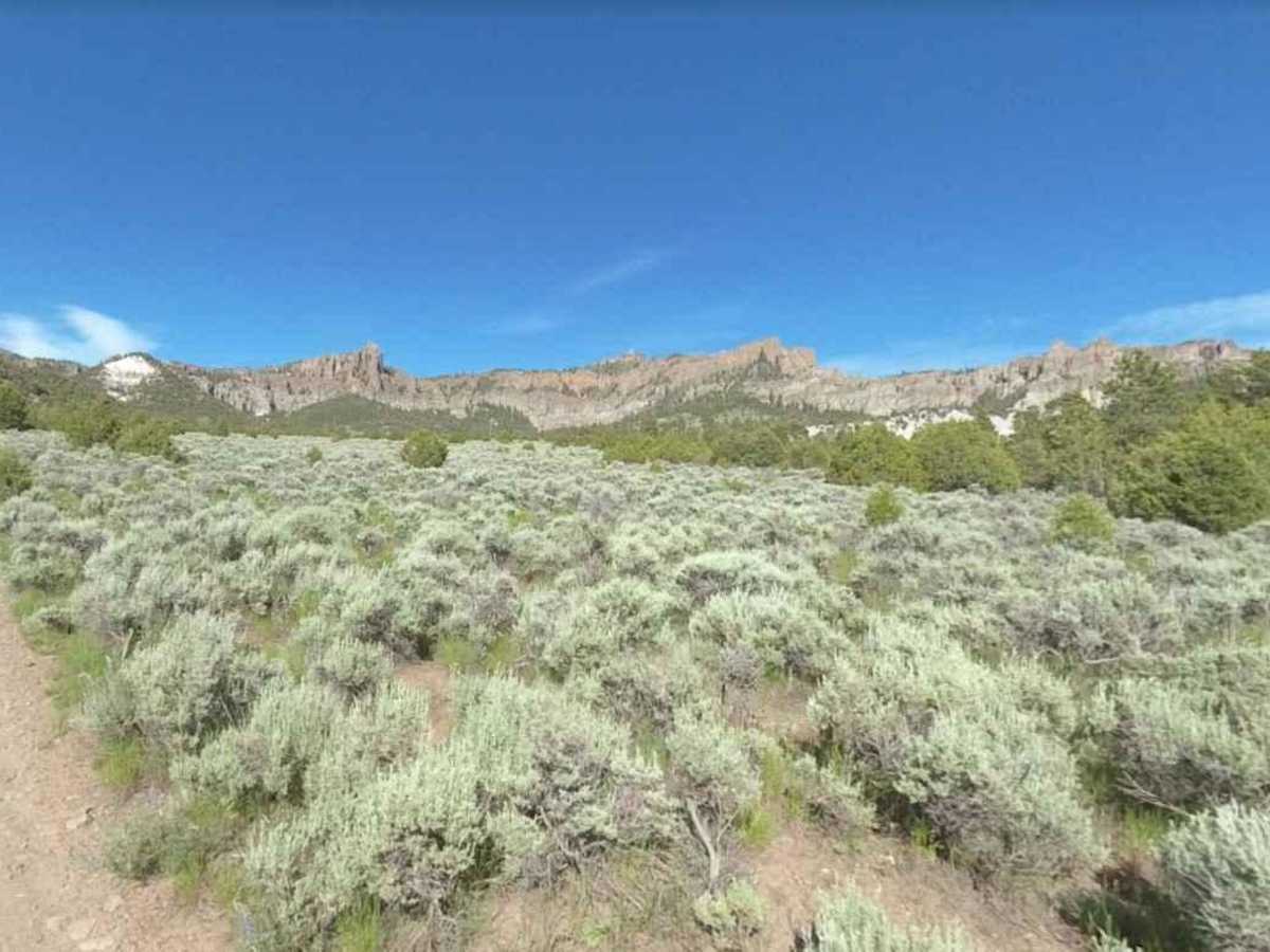
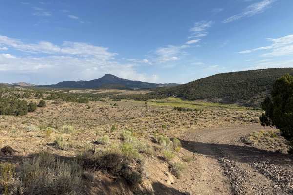
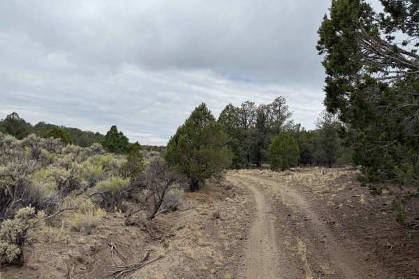
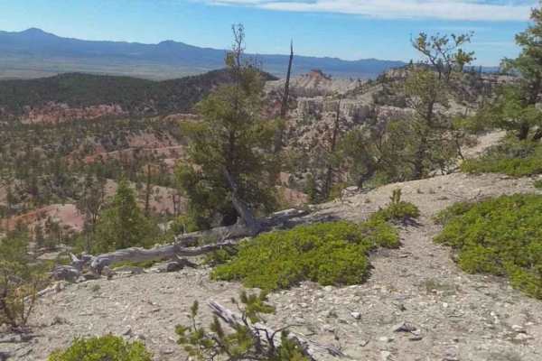
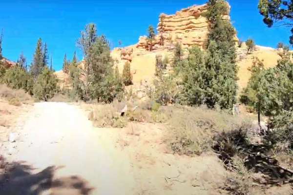
Limekiln Road is a point-to-point single-track trails east of the community of Panguitch. Limekiln Road is the north access route to Casto Canyon ATV Trail (50" or less). This trail is rated 3 of 10. Limekiln Road starts just outside the municipal airport on Airport Road. 3-miles east past Panguitch Airport is the entrance to the canyon and the volcanic geology of Lime Kiln Canyon. Ascending the Sevier Plateau starting at 6665' feet in the valley. This Canyon lies below the Mile Wide ancient volcanic caldera of 9990' Hancock Peaks. This volcano towers above you during your entire ascent to the intersection at the top of the canyon. The canyon tops out at 8000' 8.7-miles into your ride. At the top of Lime Kiln you'll encounter a very clearly marked intersection, where you will turn Right / South to begin the ride through Upper Hancock Canyon. The spectacular towers of volcanic ash and magma display a rainbow of colors against numerous backgrounds of greys, browns and ghostly white soils. Many volcanic rocks abound in this 5-mile section, along with incredible multi-colorful stratigraphic layers. You'll find many smaller rocks across your trail at times. Scenic cliffs of solidified ancient pyroclastic, lava and mud flows towering above to heights of almost 10,000'. This rare geology is very unique and only occurs in the North Bryce Canyon Backcountry and cannot be experienced in Bryce Canyon National Park. The trail is not going to be accessible after the first major snowfall. Cell service will be lost about 2 miles out of Panguitch which is the last services before the trail.

Photos of Limekiln Road-BLM2350

Difficulty

The trail consists of loose rocks, dirt, and sand with some slickrock surfaces, mud holes possible, no steps higher than 12". 4WD may be required, aggressive tires a plus.

Technical Rating

3

Status Reports

Add Status Report
Adventures in Panguitch
Oct 04, 2025
Open
great morning for a ride, weather was good. would not want to be here in the rain. crossing were all dry which is typical this time of year. lots of twist and turns, its one of our favorite rides being this close to Panguitch. Trail has loose rocks, dirt, and some sand that brings with it some slick areas. Plenty of great views to explore
Eric lindholm
Apr 10, 2025
Open
Did this in a couple of Baja bugs not side-by-side but that’s the closest category It gave me. the trail was clear you’re not gonna go very fast on it. We were in first year most of time going between nine and 13 miles an hour. I wouldn’t take a full size 4 by on it because you’re gonna be getting hit in the windshield by low hanging branches pretty often even, there are some very tight turns, more of an atv trail. Even though this rates as a green on difficulty it’s still fairly challenging. There was a little bit of mud on the trail, but not really a problem. There are some very interesting sights as you’re driving across gray green red yellow soil and there are some pretty good views a lot of fun
Robert Johnson
Oct 12, 2023
Open

Limekiln Road-BLM2350 Trail can be accessed by the following ride types:

  • Single Track
  • 50 Inch
  • 60 Inch
  • High Clearance
  • Full Width

Limekiln Road-BLM2350 Map

The onX Offroad Difference

onX Offroad combines trail photos, descriptions, difficulty ratings, width restrictions, seasonality, and more in a user-friendly interface. Available on all devices, with offline access and full compatibility with CarPlay and Android Auto. Discover what you're missing today!

Open Trail Map