
Dirt Bike Trails
Near Moore, Idaho
Explore All Dirt Bike Trails Near Moore, Idaho
Dirt Bike Trails Near Moore, Idaho
Discover the best dirt bike trails near you. Browse trail maps, check difficulty ratings, and find your next adventure — whether you're looking for a quick ride or an all-day expedition.
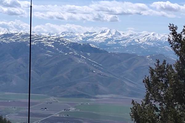
King Mountain to King Border
This track gives you access to the hang glider launch on King Mountain, as well as to the numerous trails north of Moore, Idaho, and Arco, Idaho. Directions from each town are included below. You go from 5400 feet in the valley, to over 8000 feet in the Challis National Forest. The views are simply ...
Learn more about King Mountain to King Border
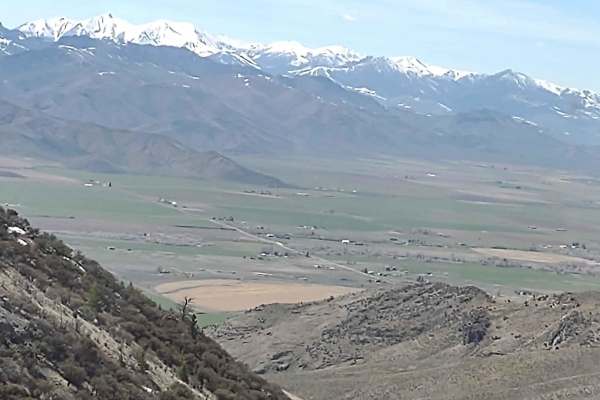
Beaverland Pass to Hang Glider Launch
This scenic four-mile climb is tailor-made for offroaders seeking a moderate but thrilling ascent to over 8,000 feet on King Mountain, located in the Salmon-Challis National Forest. Navigating this trail requires a high-clearance 4WD vehicle or a capable OHV to handle the rocky, steep inclines and d...
Learn more about Beaverland Pass to Hang Glider Launch
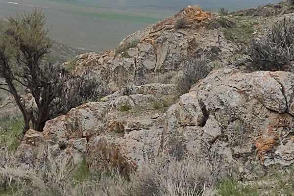
Appendicitis Hill Spur 2
Appendicitis Hill Spur 2 is a short, easy half-mile dirt spur perfect for beginners and scenic explorers seeking quick access to the rugged Appendicitis Hill Wilderness Study Area. This route ascends through the scenic desert landscape of Idaho near Arco, climbing from 5,820 feet to a high point ove...
Learn more about Appendicitis Hill Spur 2
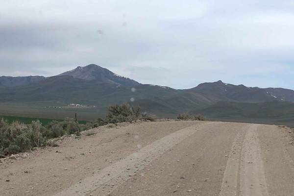
Hammond Canyon To Appendicitis Hill
West of Arco, Idaho, Hammond Canyon Road takes you onto BLM lands around Appendicitis Hill. This 4-mile trail connects to Appendicitis Hill Spurs #1 - #6, and it generally follows Hammond Canyon Road into the Appendicitis Hill Wilderness Study Area. The wildlife in this area includes deer and elk. T...
Learn more about Hammond Canyon To Appendicitis Hill
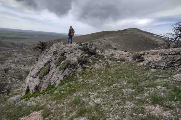
Hammond Canyon Spur
This trail takes you a little deeper into the Appendicitis Hill Wilderness Study Area and up to 6800 feet. Opportunities for backpacking, hiking, wildlife viewing, climbing, sightseeing, and photography are available here. The area is steep and rugged, so some of these activities are challenging. Th...
Learn more about Hammond Canyon Spur
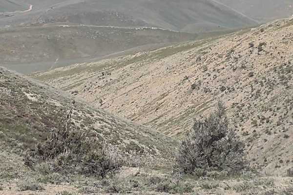
Hammond Canyon to Appendicitis Hill
This trail takes you a little deeper into the Appendicitis Hill Wilderness Study Area and up to 7000 feet. Opportunities for backpacking, hiking, wildlife viewing, climbing, sightseeing, and photography are available here. The area is steep and rugged, so some of these activities are challenging. Th...
Learn more about Hammond Canyon to Appendicitis Hill
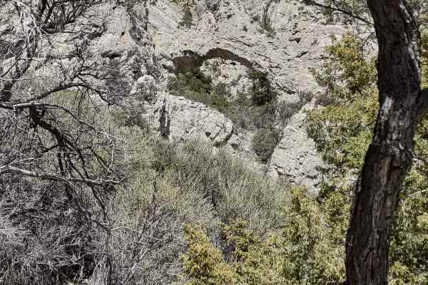
Beaverland Pass to Natural Arch
This trail leads to the Natural Arch, which is only visible if you hike up to it. The 2-hour completion time includes the hike at the end. You're in the Challis National Forest at about 7500 feet, and the arch is a natural wonder. If you're here before May 1, you may encounter snow on the trails and...
Learn more about Beaverland Pass to Natural Arch
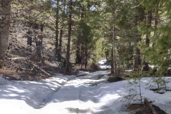
Arco Pass Road to Wood Canyon
This 10-mile track, each way, takes you into Wood Canyon, under the shadow of Howe Peak. Nearby peaks include the Howe Peak Ridge and Jumpoff Peak. Most of the trail is in the Challis National Forest. You climb to an elevation of about 7300. If you're here before Memorial Day, you may encounter snow...
Learn more about Arco Pass Road to Wood Canyon
Arco Pass to Hurst Canyon
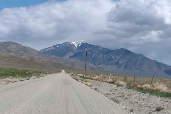
This 30-mile RT track takes you north out of Arco, Idaho, past the abandoned Potter Ranch, up Sheep Camp Road, and through Brier Canyon to Hurst Canyon. You gain 2000 feet in elevation, and if you're here in the early spring, you will find snow on these trails. Wildlife viewing opportunities are ab...
Learn more about Arco Pass to Hurst Canyon
Arco Pass to Horsethief Spur #3
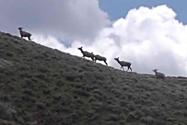
This 3-mile track goes from Arco Pass to Hurst Canyon Trail further into the Challis National Forest. Opportunities to see wildlife increase the further into the National Forest you go. If you're here in the early spring, you will encounter snow and mud on these trails. On the north slopes, and in t...
Learn more about Arco Pass to Horsethief Spur #3
Appendicitis Hill Spur #5
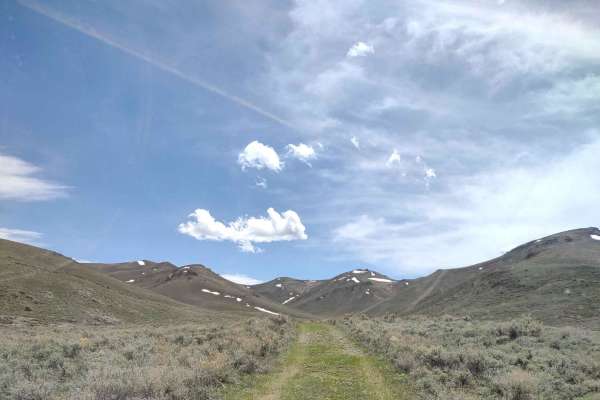
This 3-mile RT track connects with Appendicitis Hill Loop in two places and explores yet another part of the Appendicitis Hill Wilderness Study Area at about 7300 feet elevation. You can drive the entire trail in half hour, but if you stop to explore and appreciate the views, it'll take longer. Oppo...
Learn more about Appendicitis Hill Spur #5
Appendicitis Hill WSA Loop
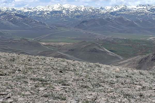
The Appendicitis Hill WSA Loop is an ideal adventure for offroaders seeking a scenic, moderately easy drive through Idaho's rugged backcountry, showcasing spectacular high-ridge views of the surrounding wilderness. This 9.5-mile track climbs through the steep and rugged terrain of the Appendicitis H...
Learn more about Appendicitis Hill WSA Loop
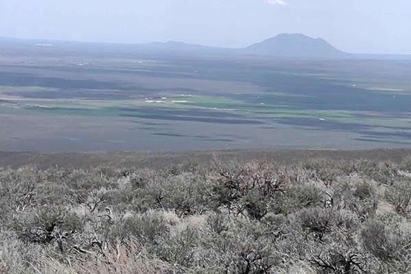
Hammond Canyon to Appendicitis Hill
This trail explores another area of the Appendicitis Hill Wilderness Study Area. It's just under a mile long, and it's a dead-end trail. Opportunities for backpacking, hiking, wildlife viewing, climbing, sightseeing, and photography are available here. The area is steep and rugged, so some of these ...
Learn more about Hammond Canyon to Appendicitis Hill
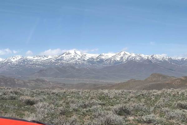
Hammond Canyon to Spur 7
This 6-mile RT spur goes deeper into the Appendicitis Hill Wilderness Study Area at about 7000 feet. Opportunities for backpacking, hiking, wildlife viewing, climbing, sightseeing, and photography are available here. The area is steep and rugged, so some of these activities are challenging. The view...
Learn more about Hammond Canyon to Spur 7
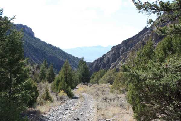
Jaggles Canyon
This is a short but scenic two-track route into a box canyon with excellent views of picturesque peaks, valley walls, and farmland below. Getting there is easy as long as you follow onXmaps. Once you hit the forest boundary, the trail turns from dusty/gravelly to loose cobble two-track. It gets narr...
Learn more about Jaggles Canyon
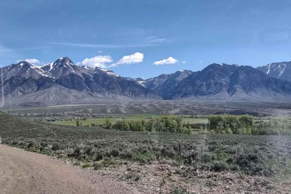
Leslie to Mackay
Leslie, Idaho, is south of Mackay, Idaho, on Highway 93. There is a nice RV park there, Moose Crossing, and it's a great way to get into Mackay without running on pavement. It's about 11 miles but will save your tires. It's simple access to the great trails around Mackay.
Learn more about Leslie to Mackay
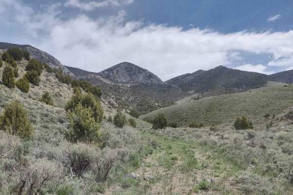
Arco Pass to Horsethief Spur #5
Arco Pass to Horsethief Spur #5 offers a scenic, 2.1-mile off road drive through Horsethief Canyon, making it an excellent choice for those seeking a quick, quiet trek with abundant opportunities for wildlife viewing. Located within the scenic Challis National Forest, this route climbs from an eleva...
Learn more about Arco Pass to Horsethief Spur #5
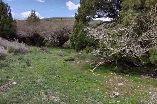
Arco Pass to Iron Creek
This 2-mile track takes you further down the Arco Pass Road to the Iron Creek Spur into Corral Canyon. The views are amazing, the wildlife is plentiful, and the scenery is hard to beat. You're at about 6,300 feet in the Challis National Forest. Early in the springtime, this trail may be covered with...
Learn more about Arco Pass to Iron Creek
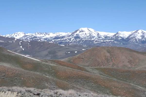
Hammond Canyon to Timbered Dome
This 10-mile track drops down into Antelope Valley and then goes back up towards Timbered Dome. You gain 1800 feet in elevation. The track is primarily on BLM, and where it crosses private property, access is allowed. Opportunities for backpacking, hiking, wildlife viewing, climbing, sightseeing, an...
Learn more about Hammond Canyon to Timbered Dome
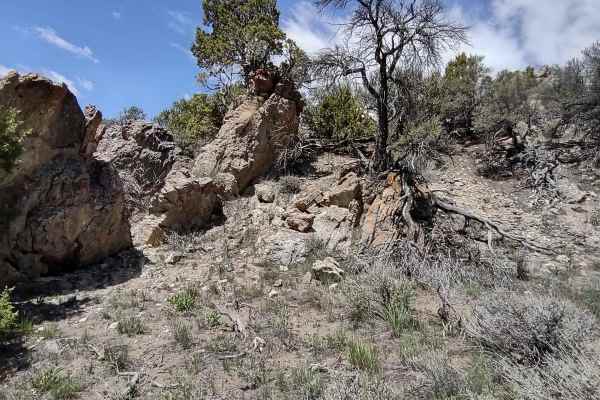
Arco Pass to Horsethief Spur #6
Arco Pass to Horsethief Spur #6 is a scenic offroad adventure perfect for riders looking to explore the rugged beauty of the Challis National Forest. Spanning approximately 1.6 miles, this short but rewarding route takes travelers deeper into Horsethief Canyon and down into Spur #6, climbing from an...
Learn more about Arco Pass to Horsethief Spur #6
ATV trails near Moore, Idaho
Explore ATV-friendly trails near you. These trails are accessible for vehicles up to 50 inches wide, perfect for ATVs and smaller off-road machines.
King Mountain to King Border
This track gives you access to the hang glider launch on King Mountain, as well as to the numerous trails north of Moore, Idaho, and Arco, Idaho. Directions from each town are included below. You go from 5400 feet in the valley, to over 8000 feet in the Challis National Forest. The views are simply ...
Learn more about King Mountain to King Border
Beaverland Pass to Hang Glider Launch
This scenic four-mile climb is tailor-made for offroaders seeking a moderate but thrilling ascent to over 8,000 feet on King Mountain, located in the Salmon-Challis National Forest. Navigating this trail requires a high-clearance 4WD vehicle or a capable OHV to handle the rocky, steep inclines and d...
Learn more about Beaverland Pass to Hang Glider Launch
Appendicitis Hill Spur 2
Appendicitis Hill Spur 2 is a short, easy half-mile dirt spur perfect for beginners and scenic explorers seeking quick access to the rugged Appendicitis Hill Wilderness Study Area. This route ascends through the scenic desert landscape of Idaho near Arco, climbing from 5,820 feet to a high point ove...
Learn more about Appendicitis Hill Spur 2
Hammond Canyon To Appendicitis Hill
West of Arco, Idaho, Hammond Canyon Road takes you onto BLM lands around Appendicitis Hill. This 4-mile trail connects to Appendicitis Hill Spurs #1 - #6, and it generally follows Hammond Canyon Road into the Appendicitis Hill Wilderness Study Area. The wildlife in this area includes deer and elk. T...
Learn more about Hammond Canyon To Appendicitis Hill
UTV/side-by-side trails near Moore, Idaho
Find UTV and side-by-side trails near you. These trails accommodate vehicles up to 60 inches wide, ideal for UTVs, side-by-sides, and wider off-road rigs.
King Mountain to King Border
This track gives you access to the hang glider launch on King Mountain, as well as to the numerous trails north of Moore, Idaho, and Arco, Idaho. Directions from each town are included below. You go from 5400 feet in the valley, to over 8000 feet in the Challis National Forest. The views are simply ...
Learn more about King Mountain to King Border
Beaverland Pass to Hang Glider Launch
This scenic four-mile climb is tailor-made for offroaders seeking a moderate but thrilling ascent to over 8,000 feet on King Mountain, located in the Salmon-Challis National Forest. Navigating this trail requires a high-clearance 4WD vehicle or a capable OHV to handle the rocky, steep inclines and d...
Learn more about Beaverland Pass to Hang Glider Launch
Appendicitis Hill Spur 2
Appendicitis Hill Spur 2 is a short, easy half-mile dirt spur perfect for beginners and scenic explorers seeking quick access to the rugged Appendicitis Hill Wilderness Study Area. This route ascends through the scenic desert landscape of Idaho near Arco, climbing from 5,820 feet to a high point ove...
Learn more about Appendicitis Hill Spur 2
Hammond Canyon To Appendicitis Hill
West of Arco, Idaho, Hammond Canyon Road takes you onto BLM lands around Appendicitis Hill. This 4-mile trail connects to Appendicitis Hill Spurs #1 - #6, and it generally follows Hammond Canyon Road into the Appendicitis Hill Wilderness Study Area. The wildlife in this area includes deer and elk. T...
Learn more about Hammond Canyon To Appendicitis Hill
The onX Offroad Difference
onX Offroad combines trail photos, descriptions, difficulty ratings, width restrictions, seasonality, and more in a user-friendly interface. Available on all devices, with offline access and full compatibility with CarPlay and Android Auto. Discover what you're missing today!
Open Trail Map