Trail Overview
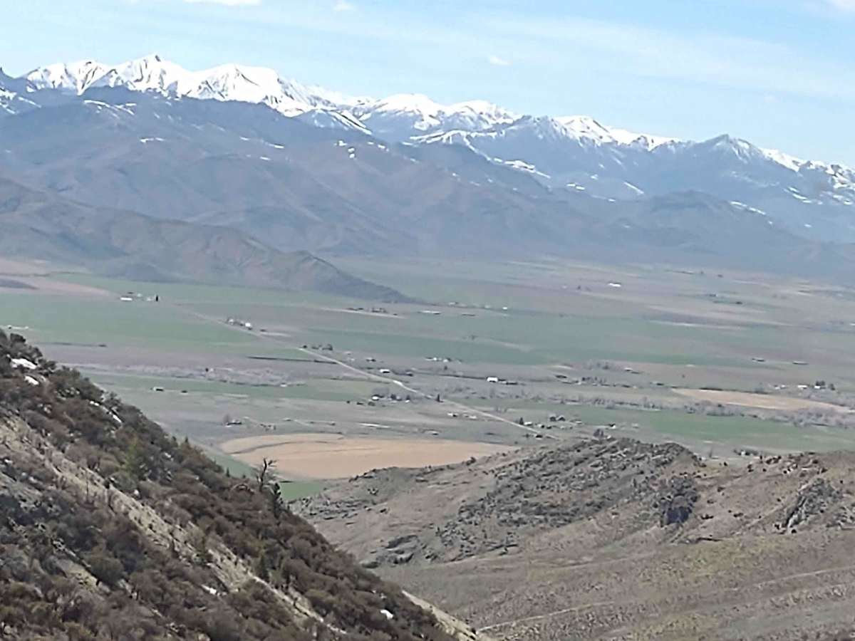
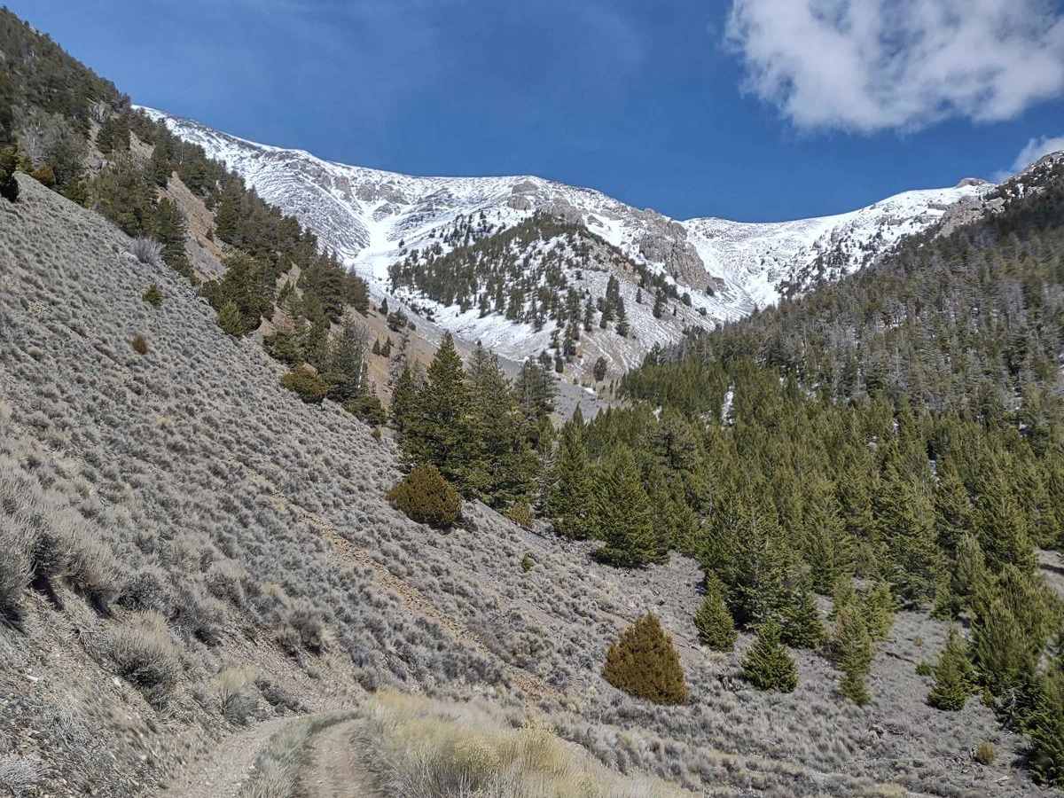
This scenic four-mile climb is tailor-made for offroaders seeking a moderate but thrilling ascent to over 8,000 feet on King Mountain, located in the Salmon-Challis National Forest. Navigating this trail requires a high-clearance 4WD vehicle or a capable OHV to handle the rocky, steep inclines and declines. Starting from an elevation of approximately 6,160 feet, the trail gains nearly 2,000 feet over its short distance, with maximum gradients reaching over 22 degrees.
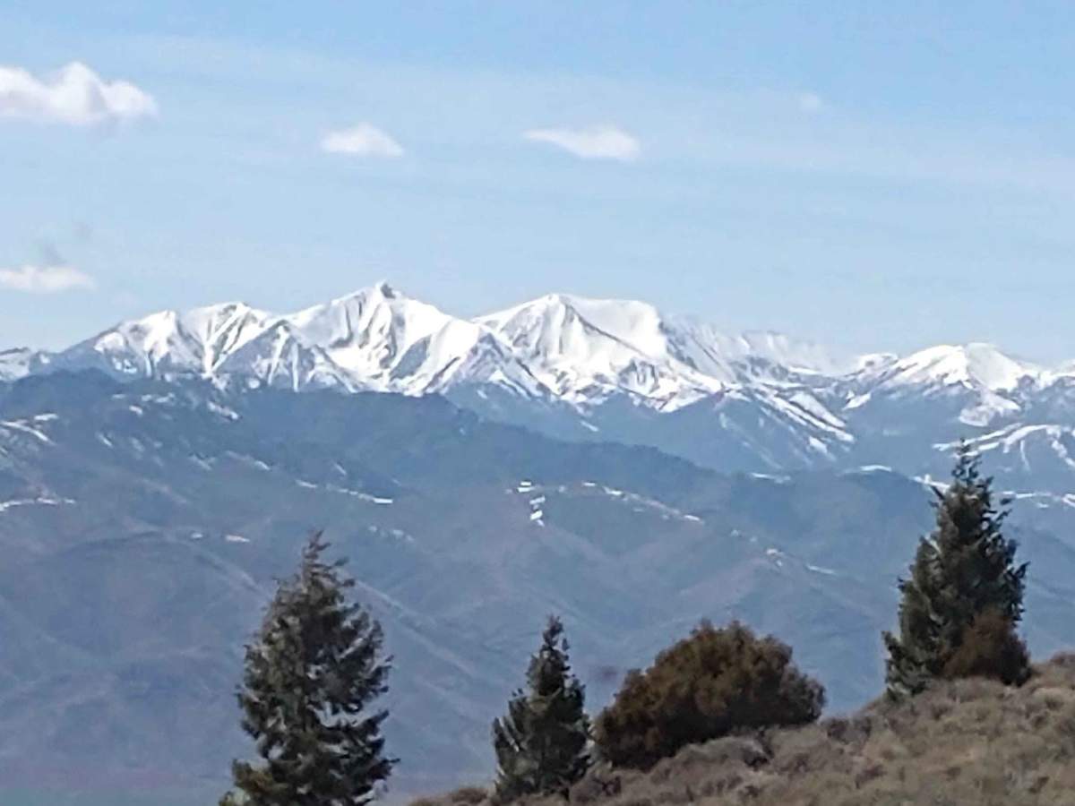
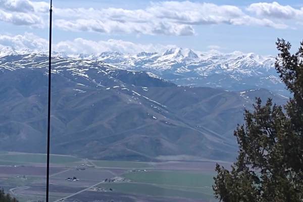
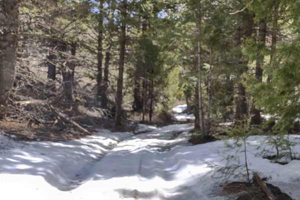
At the top of the climb, the trail leads to a famous hang glider launch site where pilots take advantage of the powerful thermals rising from the Lost River Range. If gliders are actively preparing or launching, drivers should respect their space and avoid driving directly onto the launch pad, choosing instead to watch the action from spots along King Canyon Road, King Border Road, or the valley below. This track is best ridden from late spring through autumn when the high-elevation paths are dry and clear of snow drifts. Because the surrounding area is packed with connecting routes like the Arco Pass to Hurst Canyon track, offroaders can easily combine this run into a full day of backcountry exploration.
History
The trail is situated within the Salmon-Challis National Forest, which encompasses over 4.3 million acres of rugged public land in east-central Idaho, managed by the United States Forest Service. This section of the forest is dominated by the Lost River Range and King Mountain, which have long been recognized for their dramatic topography and exceptional thermal updrafts.