
Dirt Bike Trails
Near Metolius, Oregon
Explore All Dirt Bike Trails Near Metolius, Oregon
Dirt Bike Trails Near Metolius, Oregon
Discover the best dirt bike trails near you. Browse trail maps, check difficulty ratings, and find your next adventure — whether you're looking for a quick ride or an all-day expedition.
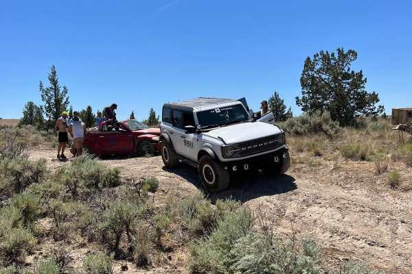
Willow Creek Crossing
So easy that a PT Cruiser can do it...wait, no. Please don't. To do this trail, a rear locker and 35-inch tires are recommended. It's short and sweet but an absolute blast and a great intro to teach people how to use the features of their rig.
Learn more about Willow Creek Crossing
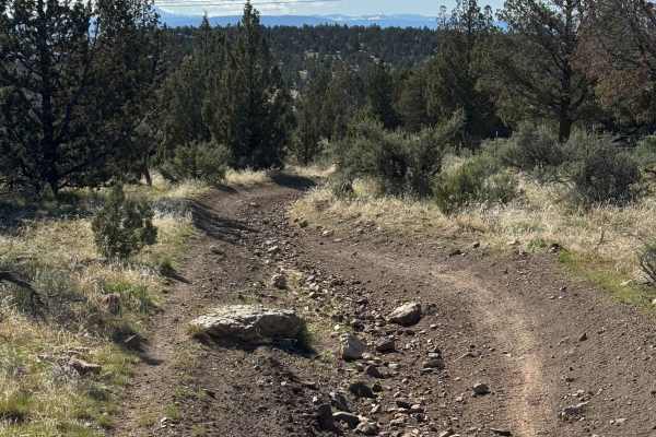
OHV Trail #10
OHV Trail #10 is an easy 6.5-mile loop through sagebrush and juniper. Expect mostly hard-packed dirt with scattered embedded rocks, low rock ledges, and one short hill climb. Open to dirt bikes and ATVs (under 50" and 800 pounds) only, this scenic trail is well suited for beginner and intermediate r...
Learn more about OHV Trail #10
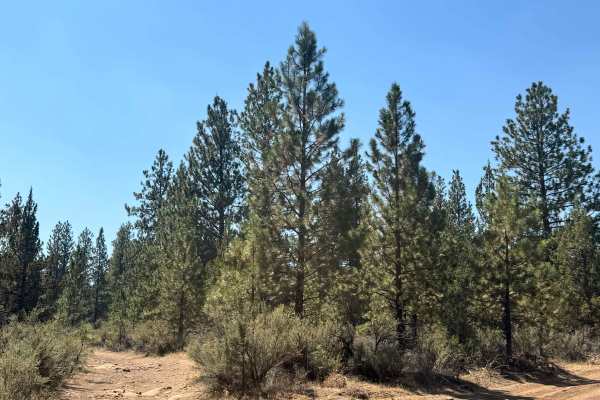
FS 2055-970
This is a dirt-based forest road in the National Forest near the Cove of the Palisades State Park. The trail has minor ruts and wash, and after rain there will be a couple of mud holes. There is some rock garden and boulders along the trail, but overall this is an easy trail that could be ridden in ...
Learn more about FS 2055-970
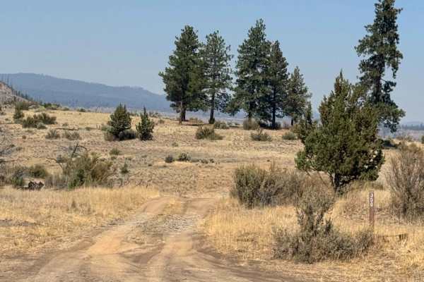
FS 1170-300
This is a dirt-based forest road that is narrow and one vehicle wide with places to pass. The trail has some rock gardens, making for a bumpy ride and some humps/whoops to navigate. You will be traveling on the top of a ridge looking down into a valley. The trail is easy and suitable for any vehicle...
Learn more about FS 1170-300
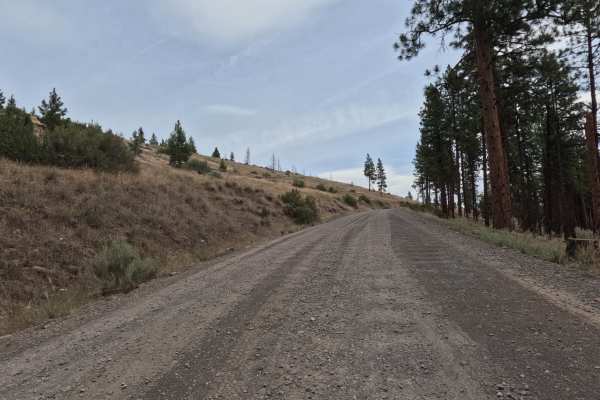
Montgomery - FS 6400
FS 6400, signed Montgomery Road, is a wide, graded two-lane gravel road that climbs and winds along the canyon rim above an arm of Lake Billy Chinook and the Metolius River. The route offers sweeping views of the reservoir and surrounding high desert hillsides before dropping back into ponderosa pin...
Learn more about Montgomery - FS 6400
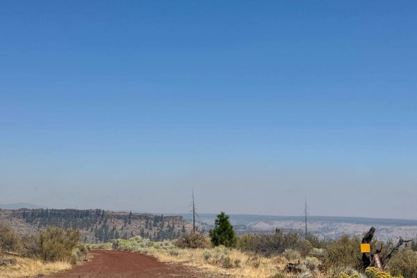
Gunsight Pass - FS 1170-600
This is a narrow, dirt-based forest road that is one vehicle wide with places to pass. This trail is closed to all motor vehicles December 1st through March 31st. The trail has several humps/whoops to navigate and runs along a ridge into a canyon. Some portions have newer and loose gravel, and appea...
Learn more about Gunsight Pass - FS 1170-600
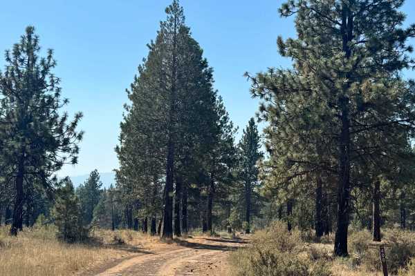
FS 1170400
This is a dirt based forest road that is narrow with places to pass. The trail travels through a pine forest that has open meadows that are boulder fields. There are several humps/whoops along the trail as well as rock garden in some areas and some large boulders sticking out of the ground up to a f...
Learn more about FS 1170400

NF-200
This is an easy gravel forest logging road connecting NF 1170 to Squaw Ridge (NF-1190). It is primarily used when accessing the small portion of the Deschutes National Forest north of Prairie Creek. This road is tight with manzanita overgrowth. Pinstriping is likely to occur, so if you value your pa...
Learn more about NF-200
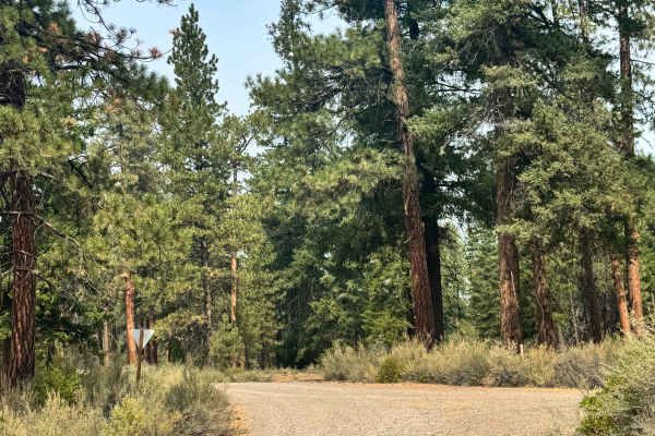
FS 1160
This is a narrow, one-lane-wide, gravel-based forest road. The trail has some overgrown vegetation and washboard that make the ride bumpy, but overall it is easy and suitable for any vehicle type. Camping is available along this entire trail, and there are many pre-existing campsites, as well as sev...
Learn more about FS 1160
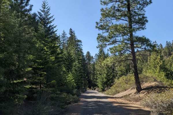
Squawback Ridge - NF119000
This gravel Forest Service road winds through a landlocked section of the Deschutes National Forest above the Deschutes River. This section is accessible from the South and is surrounded by the nearby Jefferson Wilderness and Warm Springs Reservation. This road varies in elevation from 3500'-4000' i...
Learn more about Squawback Ridge - NF119000
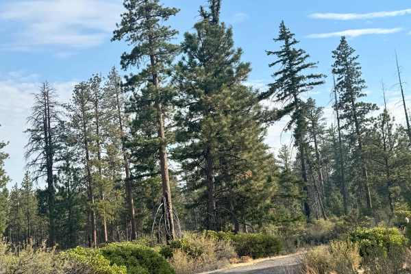
FS 1190-100
This is a gravel based forest road that is wide enough for two vehicles to pass. There is minor washboard and this trail is suitable for any vehicle type. Camping is available along this trail with multiple pre-existing dispersed campsites. You will have a great view of Mt Jefferson and the surround...
Learn more about FS 1190-100
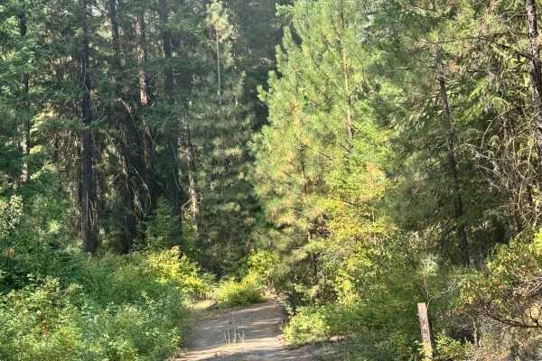
FS 1100-945
This is a narrow, one-vehicle-wide forest road. The trail is dirt-based with tight trees and overgrown vegetation, but any vehicle type could traverse this trail. The trail used to continue and connect to another trail, but now abruptly ends due to a wash and is overgrown. There are some pre-existin...
Learn more about FS 1100-945
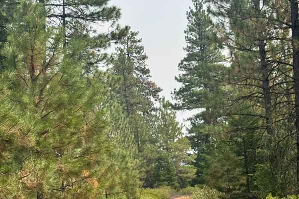
FS 1100-800
This is a dirt-based forest road that is narrow and one lane wide with places to pass. The trail has overgrown vegetation, minor ruts and wash, but is overall an easy trail suitable for any vehicle type. Camping is available along this entire trail, and you will have dense forest views. There are no...
Learn more about FS 1100-800
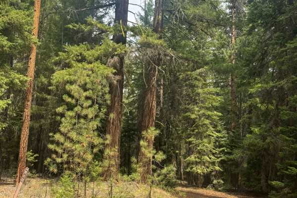
FS 1100-810
This is a dirt-based forest road that is narrow and one vehicle wide, with few places to pass. The trail is lined with overgrown vegetation and tight trees, so you may pick up a scratch or two. There are some loose rocks along the trail, but overall this is an easy trail that is suitable for any veh...
Learn more about FS 1100-810
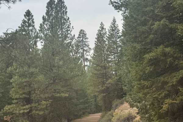
FS 1100-600
This is a dirt-based forest road that is a right-of-way road from private property that connects you to the National Forest and the trail network. This trail begins on Forest Road 11 and gradually climbs into the National Forest. The trail is narrow and one vehicle wide with places to pass, and it h...
Learn more about FS 1100-600
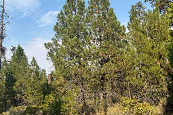
FS 1190-500
This is a gravel-based forest road that is narrow and one vehicle wide with places to pass. There are some areas of two-track along the trail. The trail has some washboard, and after rain there will be three mud holes, but any vehicle type could traverse this trail. The trail ends at a locked gate, ...
Learn more about FS 1190-500
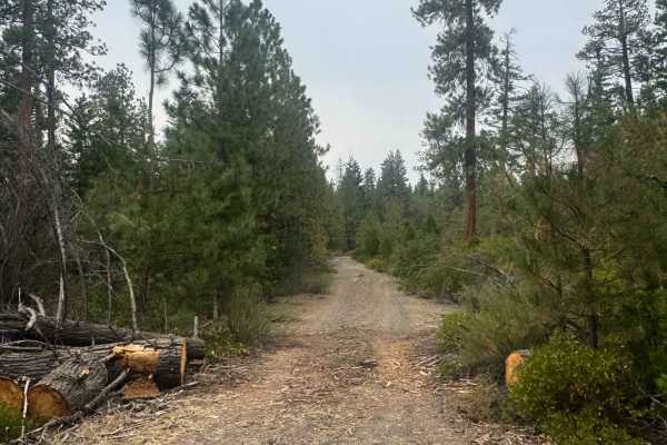
FS 1158-480
This trail is a mostly gravel-based forest road with some dirt areas and is narrow with places to pass. The trail has minor washboard and loose gravel but is suitable for any vehicle type. Camping is available along this trail, and you will have dense forest views. There are no amenities on the trai...
Learn more about FS 1158-480
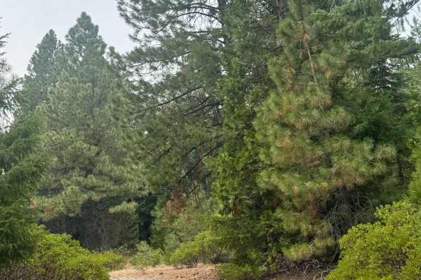
FS 1150-900
This is a dirt-based forest road that is narrow and one vehicle wide. There are places to pass and some overgrown vegetation along the trail. Some of the trail has loose rock mixed in, but any vehicle type could traverse this trail. Camping is available along the trail, and you will have good views ...
Learn more about FS 1150-900
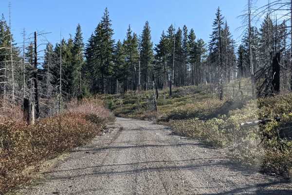
NF-115
Gravel Forest Service road winding through a landlocked section of the Deschutes National Forest above the Deschutes River. This section is accessible from the South and is surrounded by the nearby Jefferson Wilderness and Warm Springs Reservation. This road varies in elevation from 3500'-4000' in e...
Learn more about NF-115
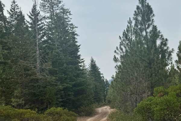
Castle Rock - FS 1190-900
This is a dirt-based forest road that is narrow and one vehicle wide, with places to pass. The trail is relatively flat with some rock mixed in, and some places have a little overgrown vegetation. This trail is suitable for any type of vehicle. The trail ends in a small loop where there is a large c...
Learn more about Castle Rock - FS 1190-900
ATV trails near Metolius, Oregon
Explore ATV-friendly trails near you. These trails are accessible for vehicles up to 50 inches wide, perfect for ATVs and smaller off-road machines.
Willow Creek Crossing
So easy that a PT Cruiser can do it...wait, no. Please don't. To do this trail, a rear locker and 35-inch tires are recommended. It's short and sweet but an absolute blast and a great intro to teach people how to use the features of their rig.
Learn more about Willow Creek Crossing
OHV Trail #10
OHV Trail #10 is an easy 6.5-mile loop through sagebrush and juniper. Expect mostly hard-packed dirt with scattered embedded rocks, low rock ledges, and one short hill climb. Open to dirt bikes and ATVs (under 50" and 800 pounds) only, this scenic trail is well suited for beginner and intermediate r...
Learn more about OHV Trail #10
FS 2055-970
This is a dirt-based forest road in the National Forest near the Cove of the Palisades State Park. The trail has minor ruts and wash, and after rain there will be a couple of mud holes. There is some rock garden and boulders along the trail, but overall this is an easy trail that could be ridden in ...
Learn more about FS 2055-970
FS 1170-300
This is a dirt-based forest road that is narrow and one vehicle wide with places to pass. The trail has some rock gardens, making for a bumpy ride and some humps/whoops to navigate. You will be traveling on the top of a ridge looking down into a valley. The trail is easy and suitable for any vehicle...
Learn more about FS 1170-300
UTV/side-by-side trails near Metolius, Oregon
Find UTV and side-by-side trails near you. These trails accommodate vehicles up to 60 inches wide, ideal for UTVs, side-by-sides, and wider off-road rigs.
Willow Creek Crossing
So easy that a PT Cruiser can do it...wait, no. Please don't. To do this trail, a rear locker and 35-inch tires are recommended. It's short and sweet but an absolute blast and a great intro to teach people how to use the features of their rig.
Learn more about Willow Creek Crossing
FS 2055-970
This is a dirt-based forest road in the National Forest near the Cove of the Palisades State Park. The trail has minor ruts and wash, and after rain there will be a couple of mud holes. There is some rock garden and boulders along the trail, but overall this is an easy trail that could be ridden in ...
Learn more about FS 2055-970
FS 1170-300
This is a dirt-based forest road that is narrow and one vehicle wide with places to pass. The trail has some rock gardens, making for a bumpy ride and some humps/whoops to navigate. You will be traveling on the top of a ridge looking down into a valley. The trail is easy and suitable for any vehicle...
Learn more about FS 1170-300
Montgomery - FS 6400
FS 6400, signed Montgomery Road, is a wide, graded two-lane gravel road that climbs and winds along the canyon rim above an arm of Lake Billy Chinook and the Metolius River. The route offers sweeping views of the reservoir and surrounding high desert hillsides before dropping back into ponderosa pin...
Learn more about Montgomery - FS 6400
The onX Offroad Difference
onX Offroad combines trail photos, descriptions, difficulty ratings, width restrictions, seasonality, and more in a user-friendly interface. Available on all devices, with offline access and full compatibility with CarPlay and Android Auto. Discover what you're missing today!
Open Trail Map