Trail Overview
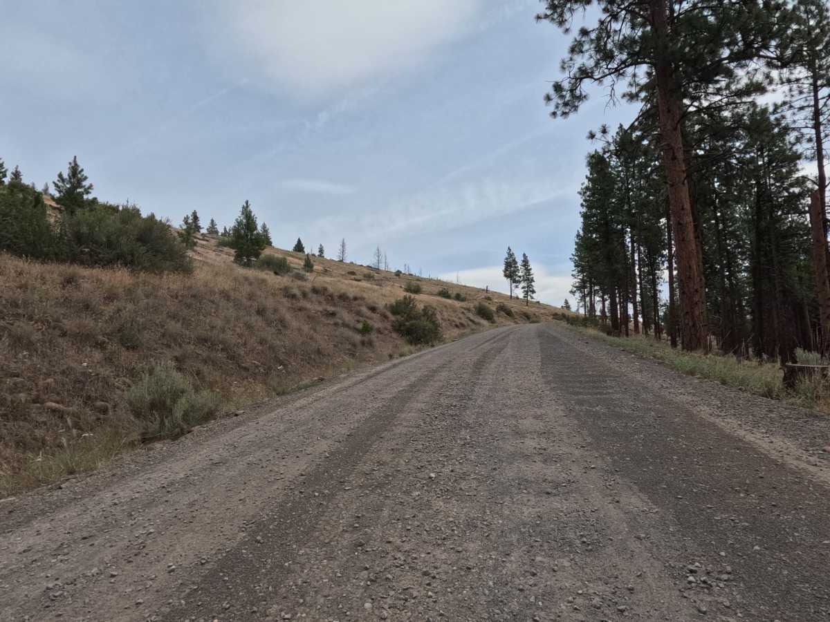
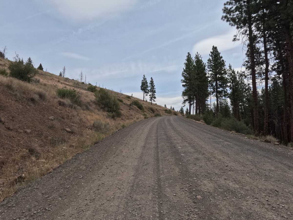
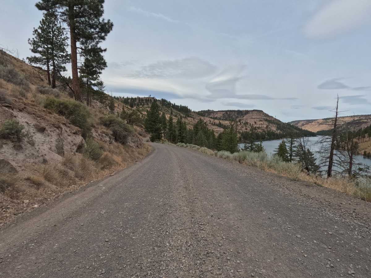
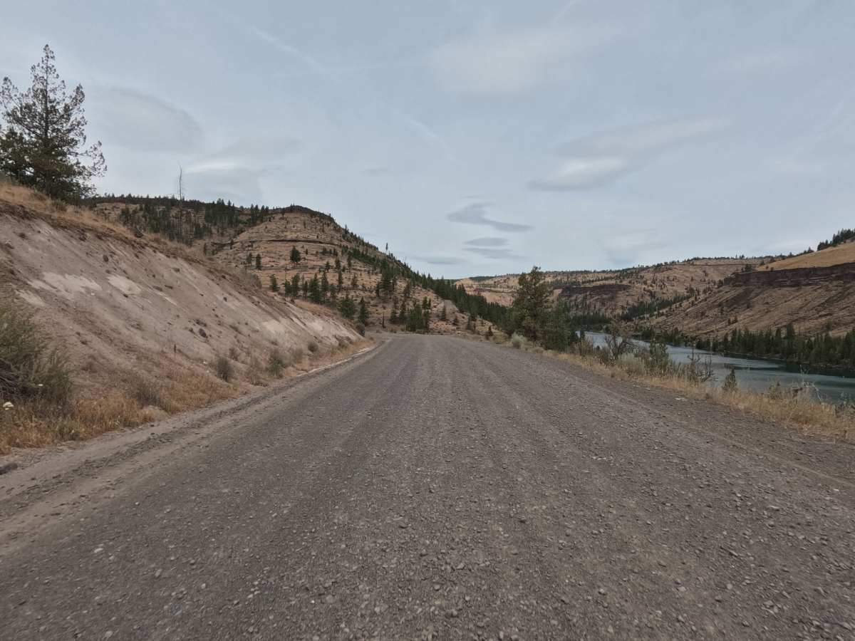
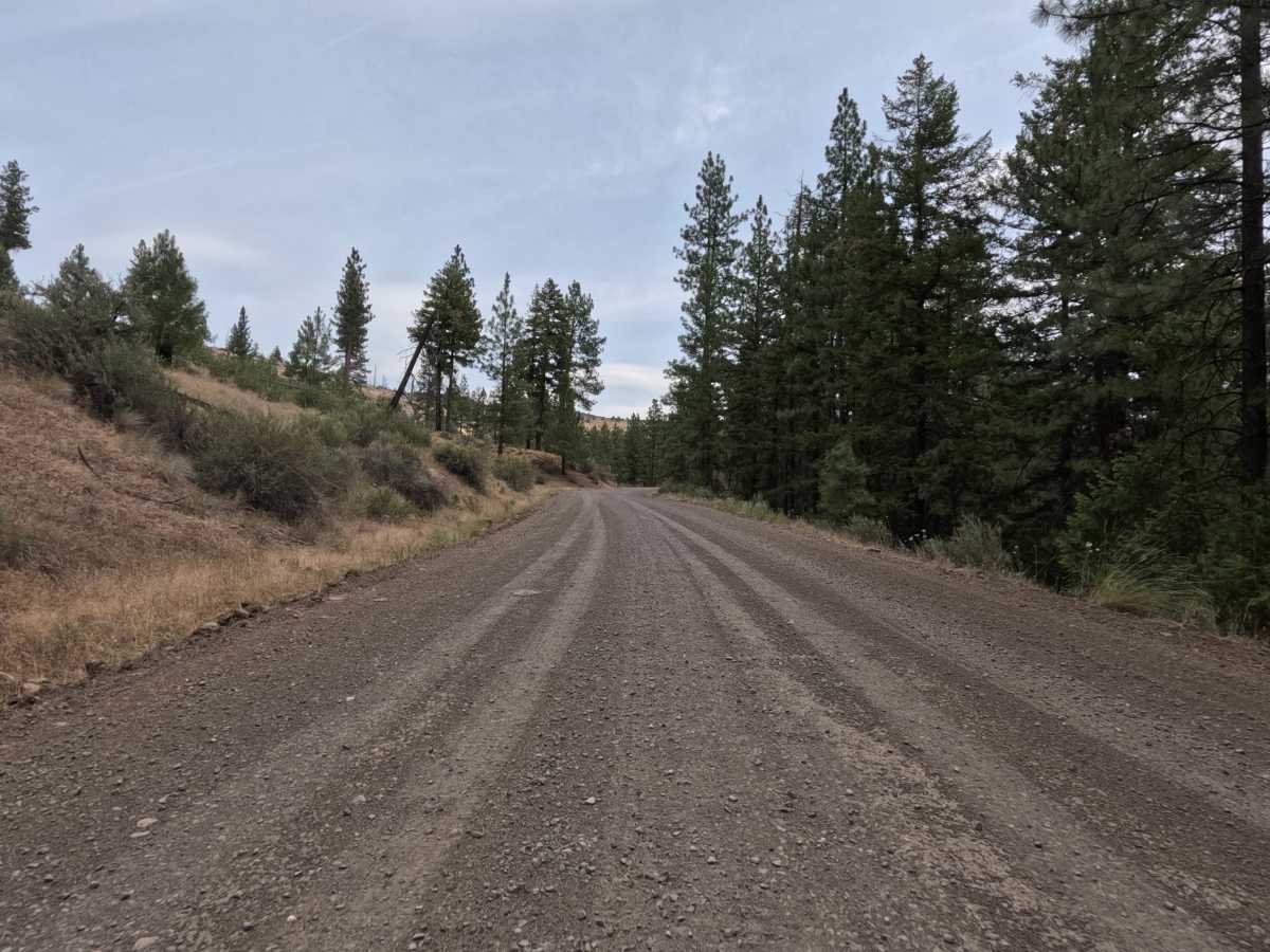
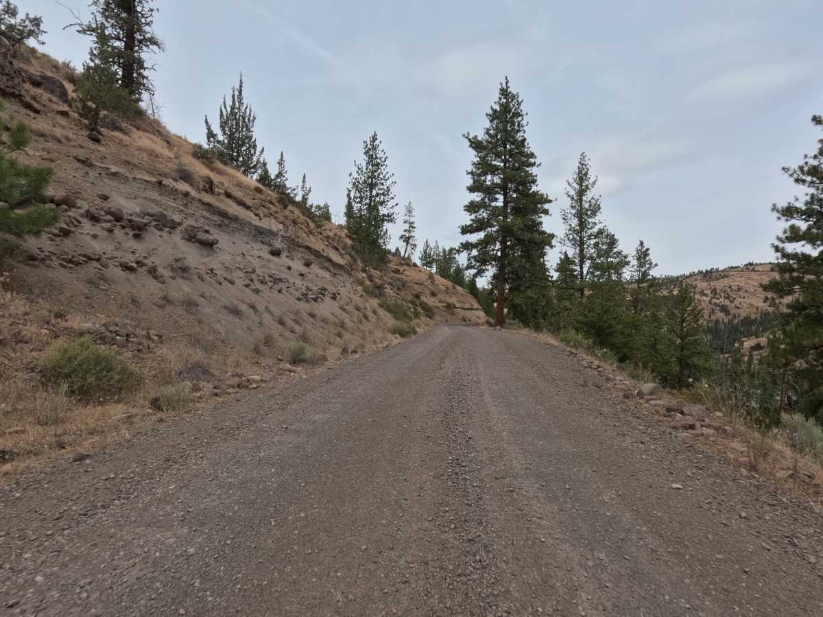
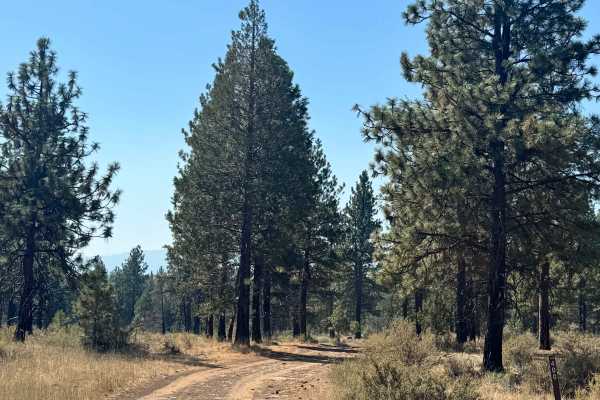
FS 6400, signed Montgomery Road, is a wide, graded two-lane gravel road that climbs and winds along the canyon rim above an arm of Lake Billy Chinook and the Metolius River. The route offers sweeping views of the reservoir and surrounding high desert hillsides before dropping back into ponderosa pine forest. Past the seasonal winter gate, traffic thins out and the road narrows slightly as it threads through the trees, eventually reaching a locked gate just beyond Monty Campground that marks the end of the drivable route.
Difficulty
A rating of 1 fits this road because it's wide, well-graded gravel with no technical obstacles anywhere along its length. Some sections wind along exposed canyon edges with steep drop-offs to the lake below, so a steady hand is worth keeping even though the surface itself stays smooth and predictable. Traction holds well in the packed gravel, and the road is wide enough to pass other vehicles comfortably. Any street-legal or off-road vehicle can handle this without trouble.