
Dirt Bike Trails
Near Mena, Arkansas
Explore All Dirt Bike Trails Near Mena, Arkansas
Dirt Bike Trails Near Mena, Arkansas
Discover the best dirt bike trails near you. Browse trail maps, check difficulty ratings, and find your next adventure — whether you're looking for a quick ride or an all-day expedition.
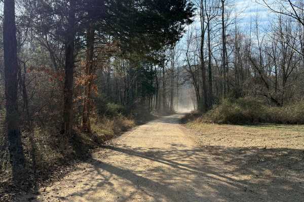
FS 30
This trail connects the town of Mena to the Ouachita National Forest trail system. This is a short, dirt road with some nice hills and lots of trees. Keep your speed down as this is a 2-way trail, but most of it is very narrow with lots of blind corners.
Learn more about FS 30
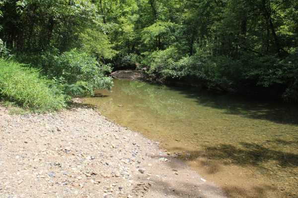
Two Mile Road
Maintained gravel road in the Ouachita National Forest. There is a cool creek crossing and side spur on this trail. This road can be muddy while raining. When dry, this road is very dusty. Loose gravel can allow your vehicle to slide. Awesome views and lots of wildlife are in this area. Dispersed ca...
Learn more about Two Mile Road
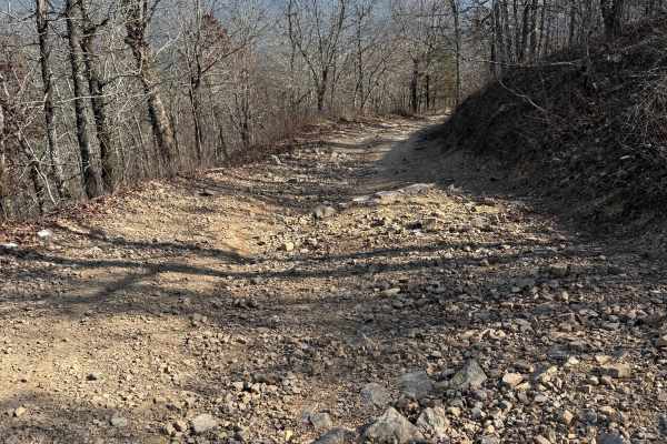
Bee Mountain Lookout Trail
This is a short trip up to the top of Bee Mountain. It starts off pretty smooth, with some short whoops, but gets a little more challenging near the top. Once at the top, I recommend taking the short walk up the stairs to see the old fire tower and get a great view of the surrounding area.
Learn more about Bee Mountain Lookout Trail
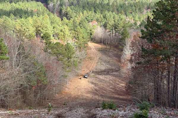
Power Lines
A very short trail but very technical. This contains some of the steepest trails in Mena, as well as some very sharp angles, so be careful not to flip. A wide machine is very helpful, with good ground clearance. The trail is also pretty narrow in some spots, so a full-width vehicle won't be able to ...
Learn more about Power Lines
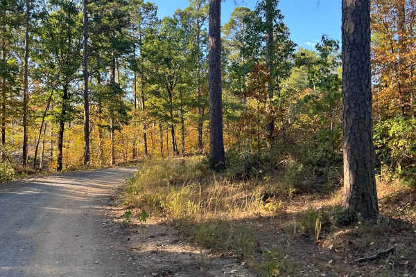
Nunley Road
Wolf Pen Gap was the first trail system built specifically for four-wheelers in the audited states. Now, it is used by both ATVs and SXSs. It is located in the Ouachita National Forest. The routes were created by the U.S. Forest Service. At times, the Forest Service may realign trails due to erosion...
Learn more about Nunley Road
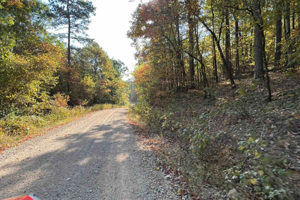
Polk Road 619 West Gap 277
Polk Road 619 West Gap 277 is a scenic point-to-point forest route in the Ouachita National Forest, making it an ideal choice for overland rigs, and SUVs seeking a relaxed drive through western Arkansas. The trail serves as an easy unpaved connector winding through dense hardwood timberlands just so...
Learn more about Polk Road 619 West Gap 277
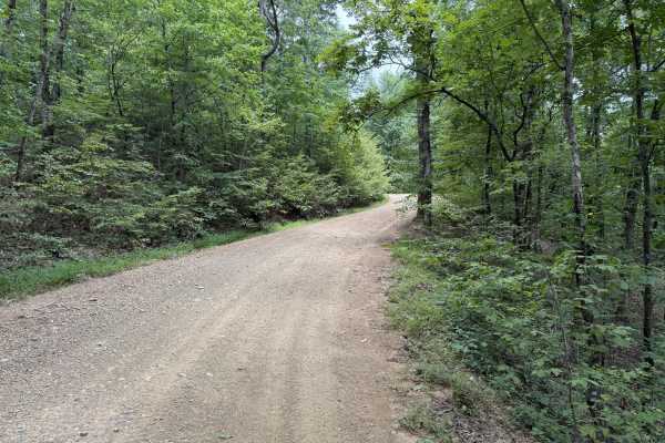
Polk County Road 36
This trail is a Forest Service road that is rock based covered in gravel. There are a few water crossings that can create a challenge after heavy rains. The road could become muddy after heavy rains. The road is narrow in places due to vegetation growth and could cause pin stripping. Overall, the ro...
Learn more about Polk County Road 36
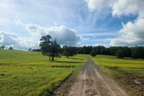
417 Road / Bent Chicken House Road
This trail is the access road to Bufrum and Mill Creeks on the Mena District of the Ouachita National Forest. The road is primarily a wide, maintained Forest Service Road with two slab crossings. The entry onto this trail begins on Polk County Road 126 and appears to be a private drive with the exce...
Learn more about 417 Road / Bent Chicken House Road
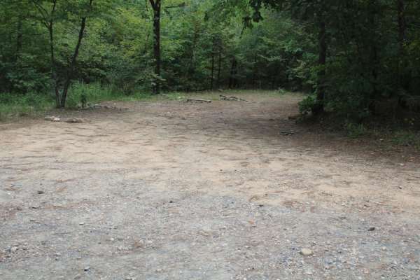
Polk 410 Stream & Camp
Polk 410 Stream & Camp is a six-mile point-to-point gravel trail in the Ouachita National Forest of Arkansas, ideal for beginners, families, and those seeking a peaceful drive with excellent dispersed camping opportunities. This well-maintained route winds through lush forest terrain between the Wes...
Learn more about Polk 410 Stream & Camp
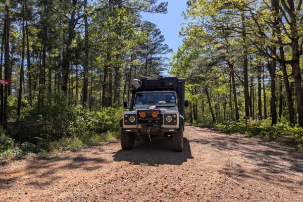
Pitfork Road
This trail offers a scenic and winding drive along a gravel road that cuts through forested terrain. Drivers will encounter a few submerged water crossings and small bridges along the way, adding to the sense of adventure. Numerous smaller trails branch off the main route, some of which may lead to ...
Learn more about Pitfork Road
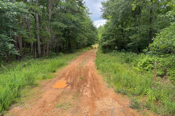
Vine
This narrow out-and-back route travels through dense forest on a lightly maintained sandy road. Vegetation frequently encroaches onto the trail, creating a high likelihood of paint scratches and pinstriping. The route follows a mostly firm sandy surface with occasional puddles and shallow ruts but n...
Learn more about Vine
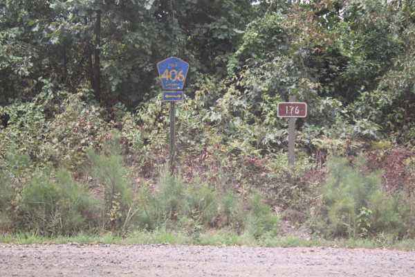
Polk Road 34 to Camping
Maintained gravel road that can be muddy when wet and dusty when dry. Some creek crossing when in wet weather. Dispersed camping and creeks are in this area of the Ouachita National Forest. Two-wheel drive can make it on these roads when dry. Great views of mountains, wildlife, and creeks in this ar...
Learn more about Polk Road 34 to Camping

Eagle Mountain Lookout
This is a fun little trail that leads to big scenery at the top of Eagle Mountain in the Quachita National Forest. The trail consists of rocks and loose gravel and climbs about 800 feet in elevation. The trail is fairly easy for any 4x4 with a little ground clearance but is doable in any stock SUV o...
Learn more about Eagle Mountain Lookout
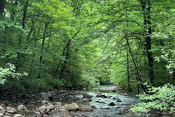
Brushy Creek
This trail is dirt Forest Service roads that run through the interior of the Quachita National Forest. While traveling this route, you will make several creek crossings and follow alongside Brushy Creek for a portion of the trail. Verizon service is next to nothing along this route but is available ...
Learn more about Brushy Creek
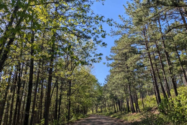
Terrapin Creek Road
This trail is a smooth and well-maintained gravel road that offers a pleasant and easy drive through scenic forested terrain. It appears to receive little traffic, making for a quiet and enjoyable experience. Unlike many other routes in the region, this trail does not cross any streams, which contri...
Learn more about Terrapin Creek Road
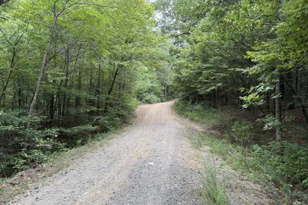
Holly Brier
This trail is a Forest Service road. It is a shelf and rock-based road. It has been topped with gravel that may be loose in outside corners. The trail has ruts due to recent rain. The trail becomes tight at times, and pinstriping may occur on wider vehicles. This trail is easily traveled by most veh...
Learn more about Holly Brier
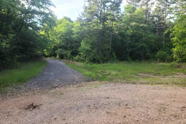
M95/Bent Chickenhouse Spur
This route(M95) is a shorter spur route off of the main "Bent Chicken house" road (FS417). Unlike the main route, this road is more closed in by brush, though it remains easily passable in most Vehicles. The road is generally blue shale and dirt with some occasional mud holes. Mud holes are solid-bo...
Learn more about M95/Bent Chickenhouse Spur
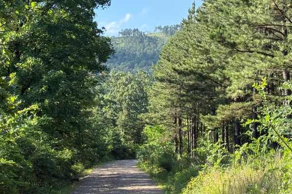
Harvest Lane
This is a forest service road, which is mostly gravel with a sandy base. The road tends to get muddy after heavy rains. There are several low water bridges that may not be passable after heavy rains. Be careful of washes in the low areas. Easy road to travel with several swimming holes along the way...
Learn more about Harvest Lane
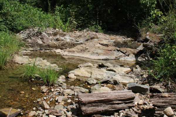
Round to Henson School Road
Round to Henson School Road is an easy, scenic 6.9-mile point-to-point route in the Ouachita National Forest perfect for beginners, families, and those seeking a relaxing drive with spectacular mountain views. This well-maintained gravel road winds through dense forest, climbing from a minimum eleva...
Learn more about Round to Henson School Road
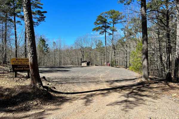
Wolf Pen Gap South Trail Head
This trail leads into a much greater trail system area with lots to explore. We found it in reverse coming from Standing Rock. There are campsites available along the trail, but fewer here than in other areas. The roads are maintained but you will find loose gravel with some mud.
Learn more about Wolf Pen Gap South Trail Head
ATV trails near Mena, Arkansas
Explore ATV-friendly trails near you. These trails are accessible for vehicles up to 50 inches wide, perfect for ATVs and smaller off-road machines.
FS 30
This trail connects the town of Mena to the Ouachita National Forest trail system. This is a short, dirt road with some nice hills and lots of trees. Keep your speed down as this is a 2-way trail, but most of it is very narrow with lots of blind corners.
Learn more about FS 30
Two Mile Road
Maintained gravel road in the Ouachita National Forest. There is a cool creek crossing and side spur on this trail. This road can be muddy while raining. When dry, this road is very dusty. Loose gravel can allow your vehicle to slide. Awesome views and lots of wildlife are in this area. Dispersed ca...
Learn more about Two Mile Road
Bee Mountain Lookout Trail
This is a short trip up to the top of Bee Mountain. It starts off pretty smooth, with some short whoops, but gets a little more challenging near the top. Once at the top, I recommend taking the short walk up the stairs to see the old fire tower and get a great view of the surrounding area.
Learn more about Bee Mountain Lookout Trail
Power Lines
A very short trail but very technical. This contains some of the steepest trails in Mena, as well as some very sharp angles, so be careful not to flip. A wide machine is very helpful, with good ground clearance. The trail is also pretty narrow in some spots, so a full-width vehicle won't be able to ...
Learn more about Power Lines
UTV/side-by-side trails near Mena, Arkansas
Find UTV and side-by-side trails near you. These trails accommodate vehicles up to 60 inches wide, ideal for UTVs, side-by-sides, and wider off-road rigs.
FS 30
This trail connects the town of Mena to the Ouachita National Forest trail system. This is a short, dirt road with some nice hills and lots of trees. Keep your speed down as this is a 2-way trail, but most of it is very narrow with lots of blind corners.
Learn more about FS 30
Two Mile Road
Maintained gravel road in the Ouachita National Forest. There is a cool creek crossing and side spur on this trail. This road can be muddy while raining. When dry, this road is very dusty. Loose gravel can allow your vehicle to slide. Awesome views and lots of wildlife are in this area. Dispersed ca...
Learn more about Two Mile Road
Bee Mountain Lookout Trail
This is a short trip up to the top of Bee Mountain. It starts off pretty smooth, with some short whoops, but gets a little more challenging near the top. Once at the top, I recommend taking the short walk up the stairs to see the old fire tower and get a great view of the surrounding area.
Learn more about Bee Mountain Lookout Trail
Power Lines
A very short trail but very technical. This contains some of the steepest trails in Mena, as well as some very sharp angles, so be careful not to flip. A wide machine is very helpful, with good ground clearance. The trail is also pretty narrow in some spots, so a full-width vehicle won't be able to ...
Learn more about Power Lines
The onX Offroad Difference
onX Offroad combines trail photos, descriptions, difficulty ratings, width restrictions, seasonality, and more in a user-friendly interface. Available on all devices, with offline access and full compatibility with CarPlay and Android Auto. Discover what you're missing today!
Open Trail Map