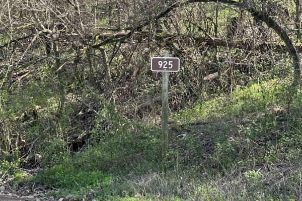
Trail Overview
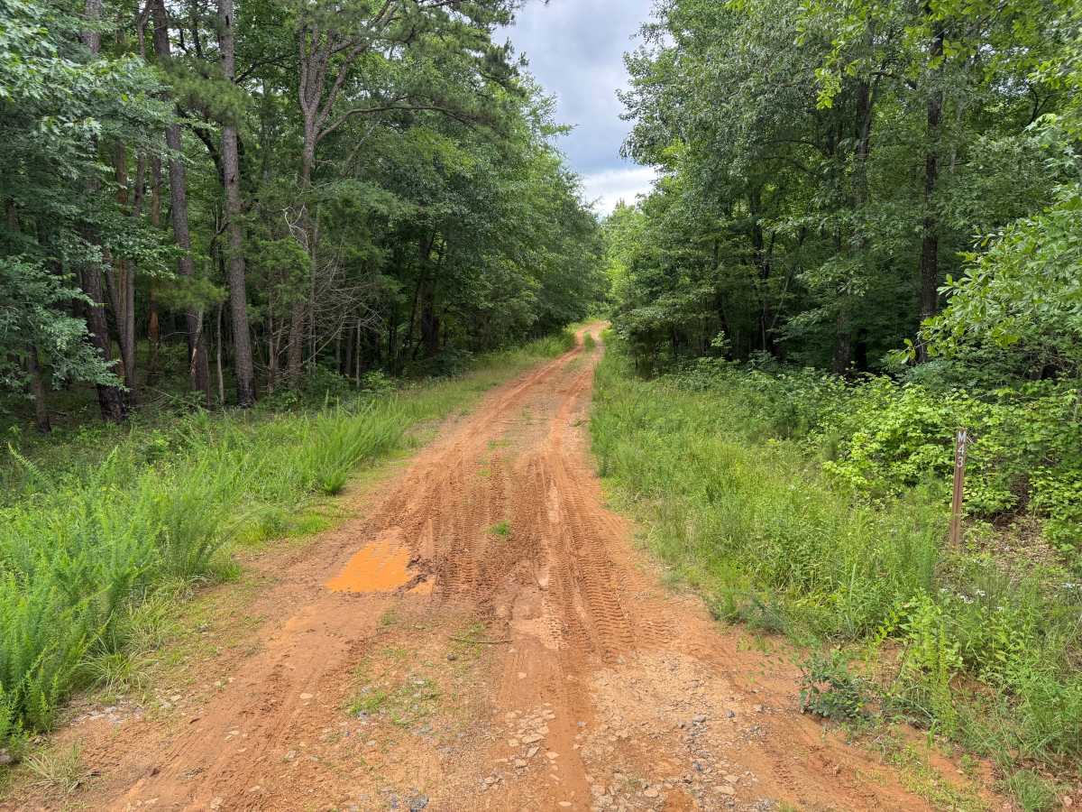
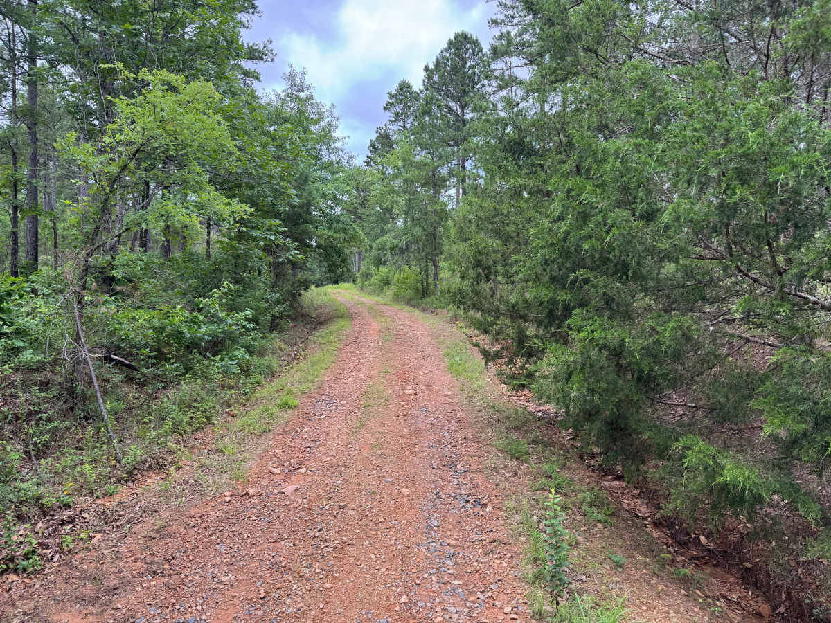
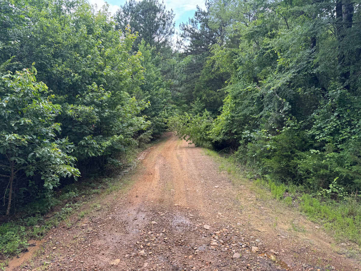
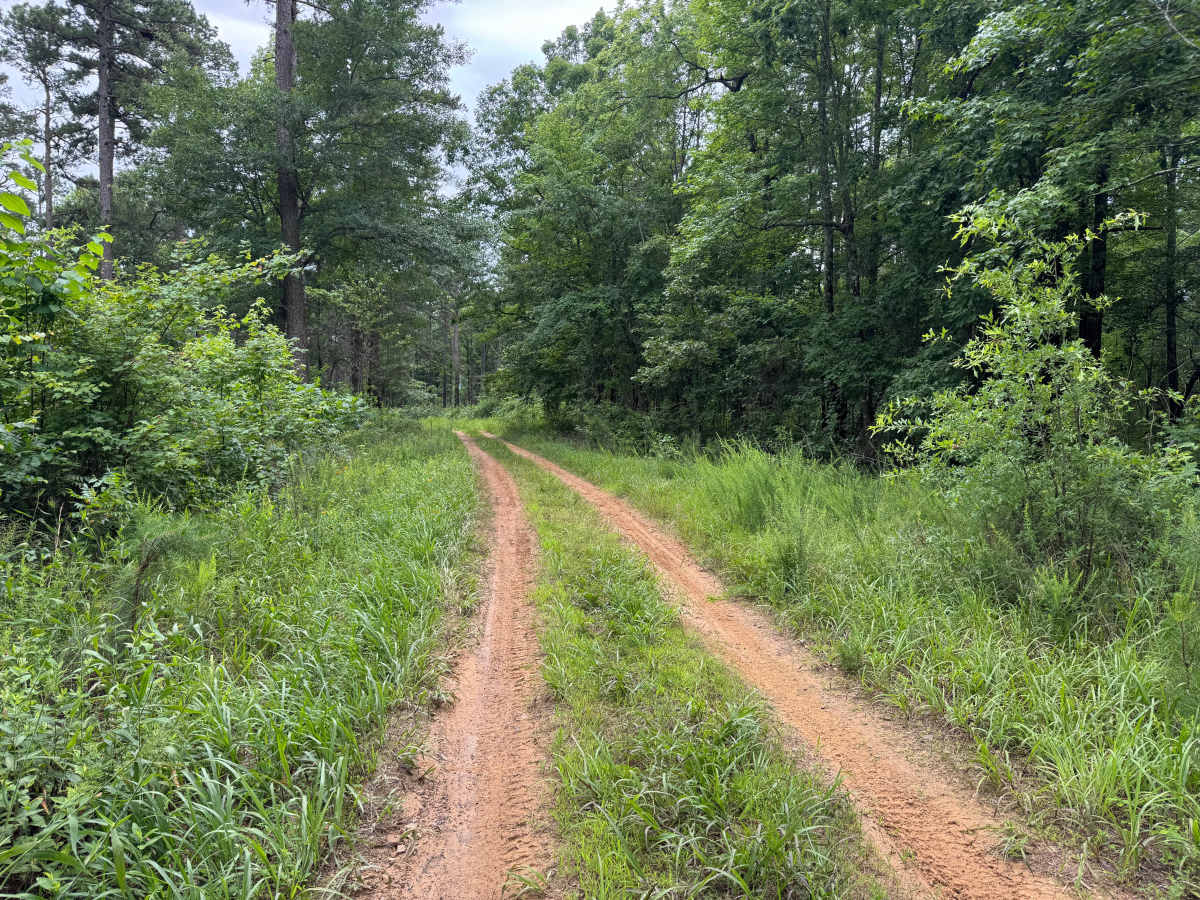
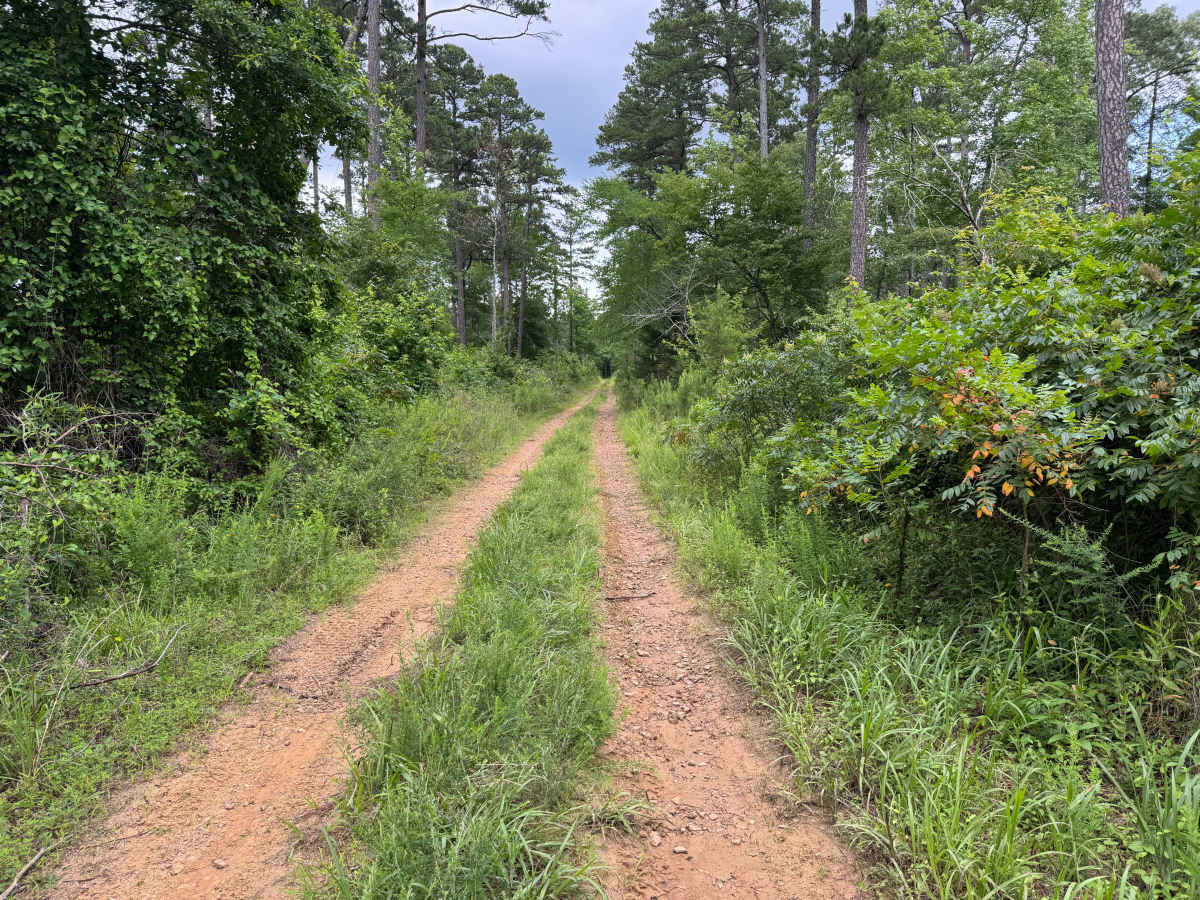
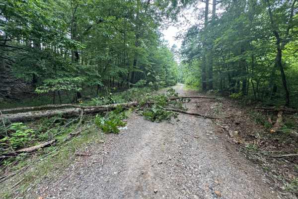
This narrow out-and-back route travels through dense forest on a lightly maintained sandy road. Vegetation frequently encroaches onto the trail, creating a high likelihood of paint scratches and pinstriping. The route follows a mostly firm sandy surface with occasional puddles and shallow ruts but no major obstacles. The trail ends at a small clearing, which marks the end of the legal route and provides a convenient turnaround point.
Difficulty
Narrow trail width, encroaching brush, and occasional soft sandy sections require attention to vehicle placement, though no major obstacles or steep terrain are present.
History
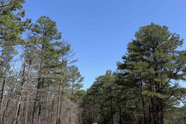
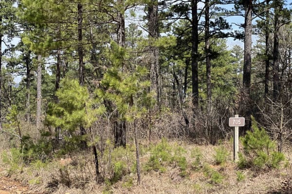
The Ouachita National Forest was established in 1907 and is recognized as the oldest national forest in the southern United States. Many roads found throughout the forest today originated as logging, timber management, fire access, or resource extraction routes before becoming part of the modern Forest Service road network. Forest management remains an important part of the landscape, and travelers may encounter evidence of prescribed burns, timber thinning, and habitat restoration efforts. The Ouachita Mountains themselves are among the oldest mountain ranges in North America and are notable for their unique east-west orientation.