Trail Overview
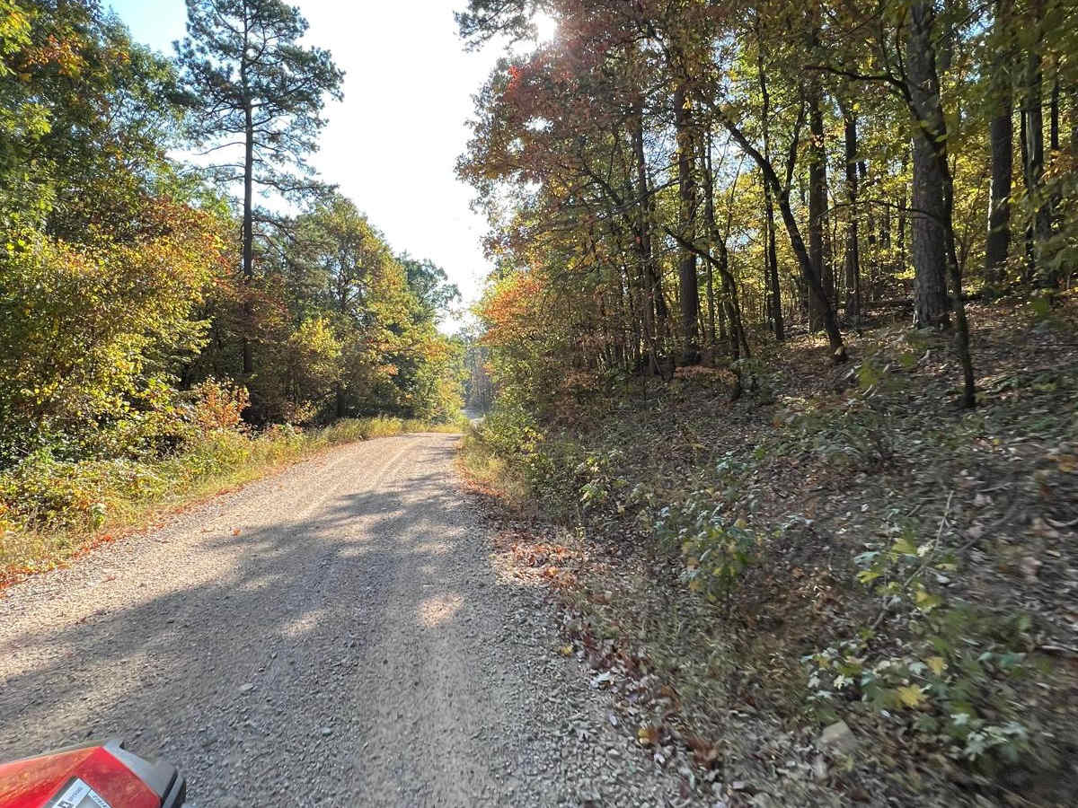
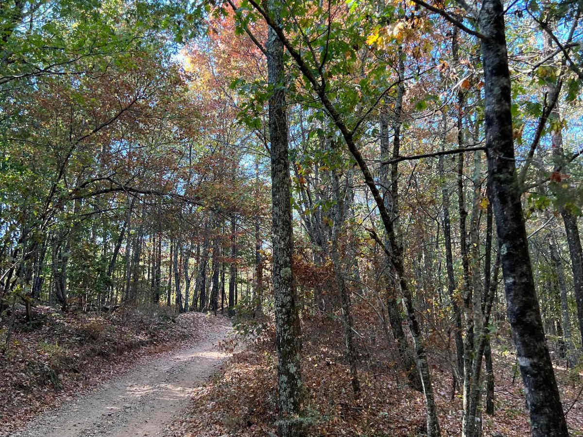
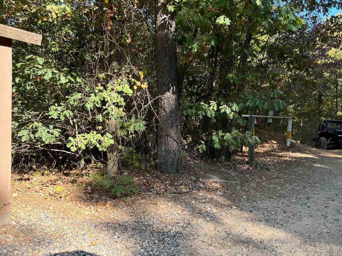
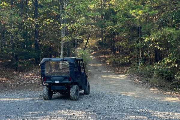
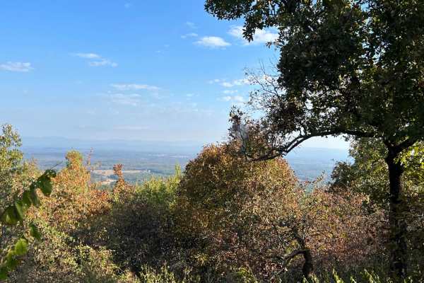
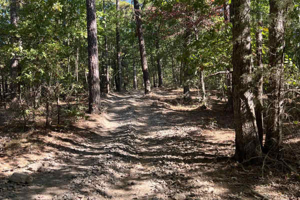
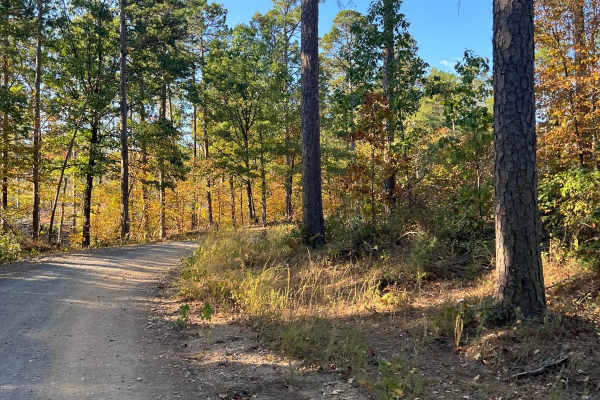
Polk Road 619 West Gap 277 is a scenic point-to-point forest route in the Ouachita National Forest, making it an ideal choice for overland rigs, and SUVs seeking a relaxed drive through western Arkansas. The trail serves as an easy unpaved connector winding through dense hardwood timberlands just south of the majestic High Point peak. The primary surface is a mixture of dirt and gravel that remains highly navigable, though drivers should anticipate occasional ruts, shallow potholes, and minor washouts that add a touch of off-road character to the drive.
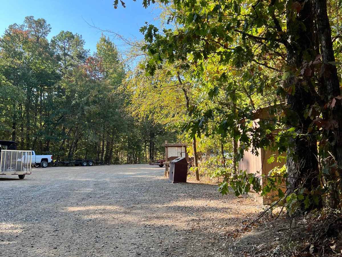
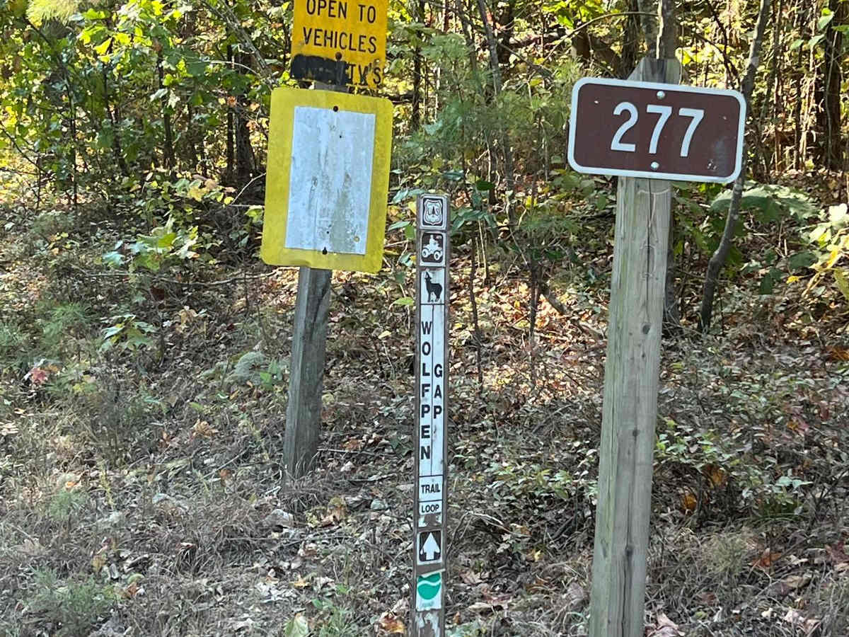
The surrounding dense forest provides a picturesque backdrop. While there are a few small clearings and turnouts along the road that can accommodate a parked camper or trailer, space to pull deeply off the main path is limited, making it best suited for day trips or quick stops. The route seamlessly links up with other prominent area forest service roads, including Forest Road 525 and Forest Road 277. Year-round access is generally available.
Access Description
Located within the Ouachita National Forest, this route is open to all vehicle traffic year-round. No special permits are required, but visitors should adhere to USDA Forest Service regulations and practice Tread Lightly principles.