
Dirt Bike Trails
Near Mayhill, New Mexico
Explore All Dirt Bike Trails Near Mayhill, New Mexico
Dirt Bike Trails Near Mayhill, New Mexico
Discover the best dirt bike trails near you. Browse trail maps, check difficulty ratings, and find your next adventure — whether you're looking for a quick ride or an all-day expedition.
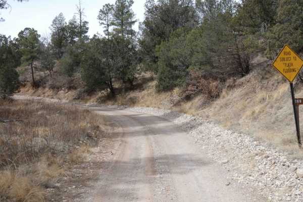
Curtis Canyon
Curtis Canyon is a very easy-going trail in a lightly wooded area located in the heart of Lincoln National Forest. The trail surface is primarily dirt with some lightly rocky areas and small rock gardens. Snow melt is present after the winter months and provides some shallow water crossings, with so...
Learn more about Curtis Canyon
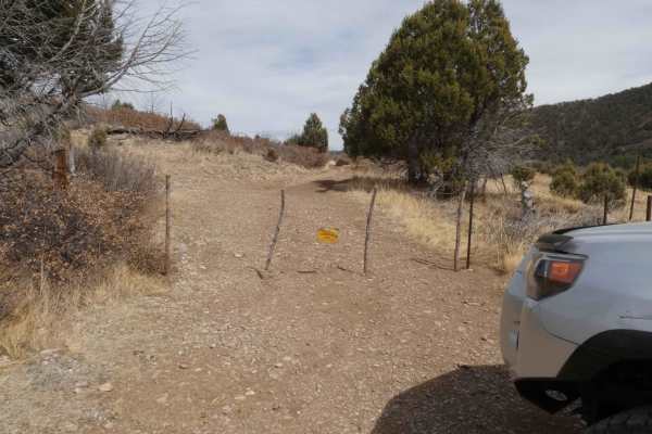
Graveyard
The graveyard is a gradually ascending canyon trail that is a combination of rocks and dirt with some smaller obstacles and rock gardens along the route. There are two gates within the first 1/4 mile, they are marked to keep closed as there are cattle in the area. This trail is prone to areas of was...
Learn more about Graveyard
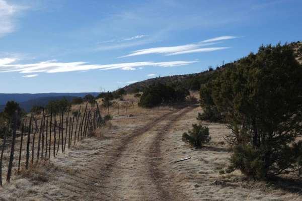
Fuel Break
Fuel Break is a trail that is difficult to access, and difficult to traverse and should be run with a group and experienced drivers. Featuring a very loose rocky surface with inclines and slopes in excess of 20% grades, the potential for damage is high, and little to no room to turn around. Some roc...
Learn more about Fuel Break
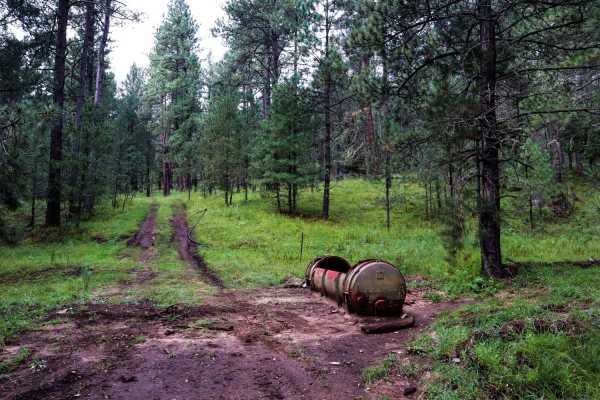
Three Mile Canyon Road
Three Mile Canyon Road is a Forest Service road located in the Sacramento Mountain range and Lincoln National Forest. The trail winds into the canyon and then back out to lead the traveler to Carr Gap (if starting the trail from the west side) and brings tremendous views of the Sacramento Mountains....
Learn more about Three Mile Canyon Road
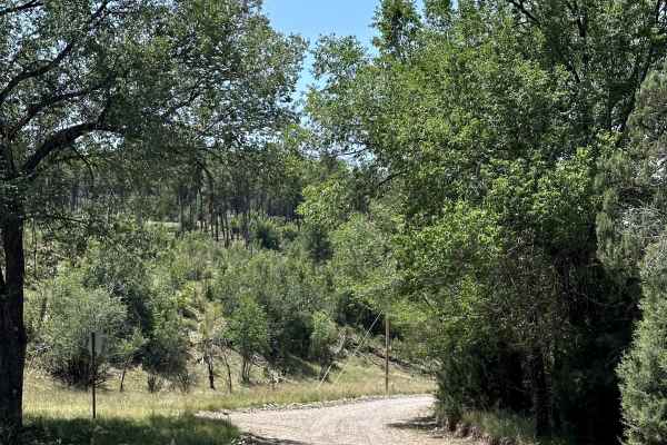
Bear Canyon
Bear Canyon is a scenic Forest Service road located within the Lincoln National Forest. This peaceful dead-end route winds through the forest and provides access to several nearby hiking opportunities. Surrounded by tall pines and mountain scenery, it's a great trail for a relaxing drive or for reac...
Learn more about Bear Canyon
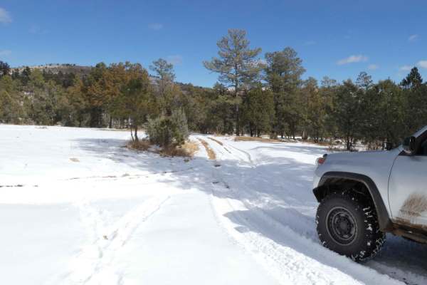
Burnt Can
Burnt Can is an out-and-back trail and starts out as a very easy trail, but does progress to more difficult areas with the potential for several deep water crossings after rains or snow melt. Primarily a rock and dirt surface, with some rutting and slippery muddy areas, the trail is not overly techn...
Learn more about Burnt Can
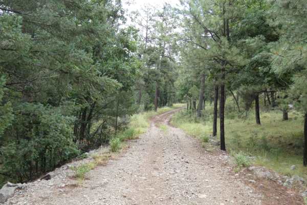
Wet Burnt Can
This out-and-back trail is a combination of dirt and rocks. While there are no obstacles larger than 10", there are some areas that have the potential to be shallow water crossings. During dry weather, the trail will be easily completed by most high-clearance 2WD and any AWD or 4x4. The track is pri...
Learn more about Wet Burnt Can

Weed Lookout
Weed Lookout is a scenic Forest Service road located within the Lincoln National Forest. The trail climbs through the forest on a gravel road before ending at a gate near the historic Weed Lookout. From the gate, visitors can continue on foot to the old fire lookout tower, where rewarding views of t...
Learn more about Weed Lookout
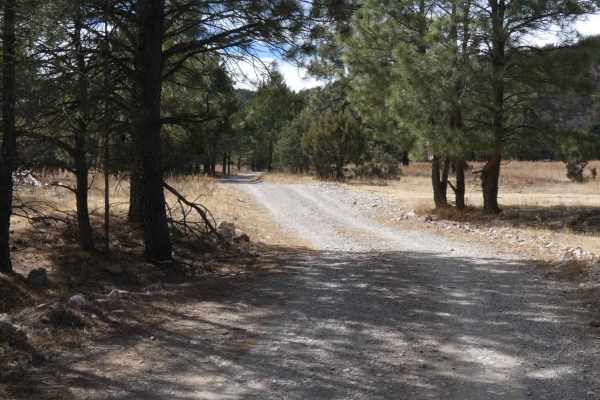
Lewis Canyon
Lewis Canyon is located just south of the town of Weed, NM, in a very quiet and wildlife-abundant area. The entrance to the trail is on private land and does have a gate just after the entrance that is to remain closed due to livestock. Starting on a primary gravel and rock road, the trail gradually...
Learn more about Lewis Canyon
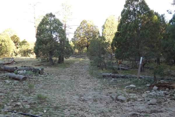
James Ridge
James Ridge is a narrow single-vehicle-wide trail that connects Sixteen Springs Canyon Road. to the Three Mile Canyon trail. There are no obstacles larger than 10" along the trail, however, some of the rocks can be loose and on light grades. Most high-clearance AWD and 4x4s will have no issues compl...
Learn more about James Ridge
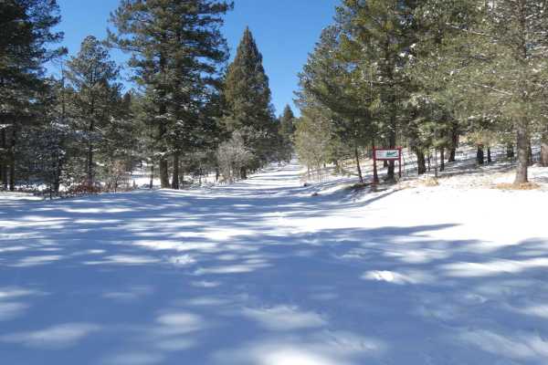
Deep Slough
Deep Slough connects from Sixteen Springs Canyon Road in the east, over to Count Road 99 in the west, and is a well-traveled road with several campsites of various sizes along the length of the route. The surface is a combination of rock and dirt, generally well maintained, but does have areas prone...
Learn more about Deep Slough
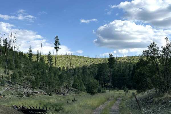
Pendleton Can
Pendleton Canyon is a scenic Forest Service road located within the Lincoln National Forest. The route winds through dense pine forest and provides a peaceful drive deep into the mountains while offering access to the Little Lewis Canyon Trailhead. Surrounded by towering trees and quiet forest scene...
Learn more about Pendleton Can
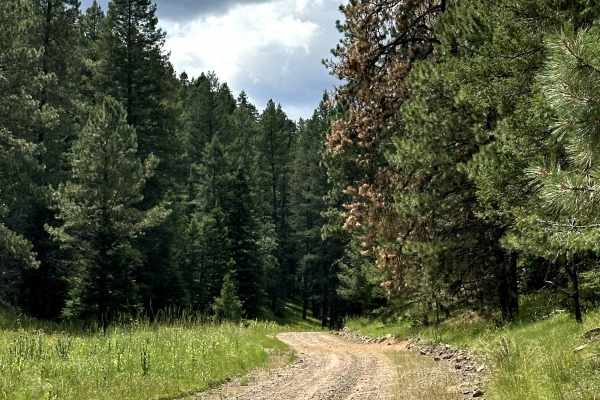
Spring Canyon
Spring Canyon is a scenic Forest Service road located within the Lincoln National Forest. The trail begins by passing through a summer camp before entering public forest land, where it winds through a beautiful canyon with impressive mountain vistas. Along the route, you'll also find access to sever...
Learn more about Spring Canyon
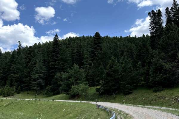
Potato Canyon
Potato Canyon is a scenic Forest Service road located within the Lincoln National Forest. This section follows an easy gravel road through dense pine forest and serves as the main route to the trail that climbs higher into the mountains. With beautiful forest scenery and a peaceful setting, it's an ...
Learn more about Potato Canyon
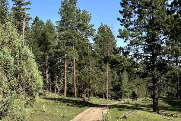
Hughes Canyon Road
Hughes Canyon Road is a scenic Forest Service road located within the Lincoln National Forest. Tucked deep within the forest, this route offers a peaceful drive through towering pines while connecting to several other Forest Service roads in the area. The secluded setting makes it a great trail for ...
Learn more about Hughes Canyon Road

Bluewater Canyon
Bluewater Canyon is a longer trail that treks along a heavily wooded area in the southern portion of Lincoln National Forest that ends with a well-hidden dispersed campsite. The surface of the trail begins with a combination of dirt and rock with some areas being lightly off camber and rutting, and ...
Learn more about Bluewater Canyon
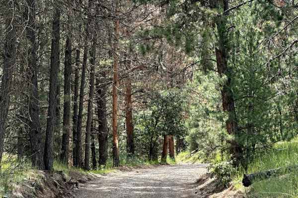
Telephone Canyon
Telephone Canyon is a scenic Forest Service road located within the Lincoln National Forest. This dead-end route offers a peaceful drive through the forest with public land on both sides, providing plenty of opportunities to stop for hiking, explore the surrounding area, or simply enjoy the mountain...
Learn more about Telephone Canyon
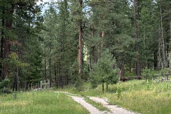
Agua Chiquita Ridge
Agua Chiquita Ridge is a scenic Forest Service road located within the Lincoln National Forest. The trail begins by following a narrow ridgeline, offering beautiful views of the surrounding forest before continuing deeper into the mountains. It connects to two other Forest Service roads, making it a...
Learn more about Agua Chiquita Ridge
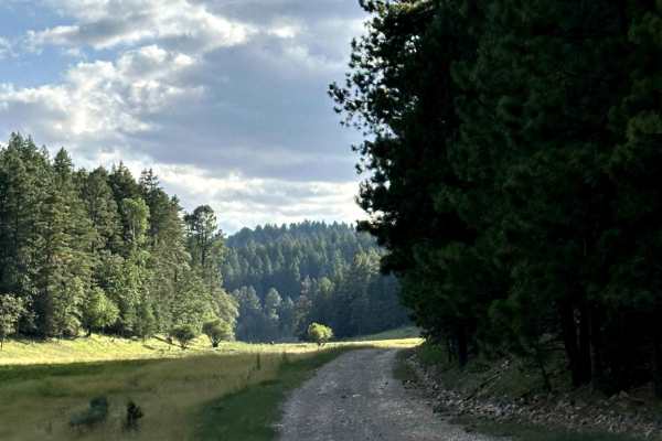
Perk Canyon
Perk Canyon is a scenic Forest Service road located within the Lincoln National Forest. The route winds through beautiful mountain scenery with a mix of open meadows and dense pine forest, making it one of the more enjoyable drives in the area. Along the way, the road passes through sections of priv...
Learn more about Perk Canyon
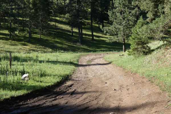
North Orr
Located just off CR99/Dry Canyon Road, North Orr provides great camping areas surrounded by thick forest trees and a few hiking trails. The trail is just over single vehicle wide and provides room to pass if necessary with only a few areas being more narrow. The surface starts as soft dirt with some...
Learn more about North Orr
ATV trails near Mayhill, New Mexico
Explore ATV-friendly trails near you. These trails are accessible for vehicles up to 50 inches wide, perfect for ATVs and smaller off-road machines.
Curtis Canyon
Curtis Canyon is a very easy-going trail in a lightly wooded area located in the heart of Lincoln National Forest. The trail surface is primarily dirt with some lightly rocky areas and small rock gardens. Snow melt is present after the winter months and provides some shallow water crossings, with so...
Learn more about Curtis Canyon
Graveyard
The graveyard is a gradually ascending canyon trail that is a combination of rocks and dirt with some smaller obstacles and rock gardens along the route. There are two gates within the first 1/4 mile, they are marked to keep closed as there are cattle in the area. This trail is prone to areas of was...
Learn more about Graveyard
Fuel Break
Fuel Break is a trail that is difficult to access, and difficult to traverse and should be run with a group and experienced drivers. Featuring a very loose rocky surface with inclines and slopes in excess of 20% grades, the potential for damage is high, and little to no room to turn around. Some roc...
Learn more about Fuel Break
Three Mile Canyon Road
Three Mile Canyon Road is a Forest Service road located in the Sacramento Mountain range and Lincoln National Forest. The trail winds into the canyon and then back out to lead the traveler to Carr Gap (if starting the trail from the west side) and brings tremendous views of the Sacramento Mountains....
Learn more about Three Mile Canyon Road
UTV/side-by-side trails near Mayhill, New Mexico
Find UTV and side-by-side trails near you. These trails accommodate vehicles up to 60 inches wide, ideal for UTVs, side-by-sides, and wider off-road rigs.
Curtis Canyon
Curtis Canyon is a very easy-going trail in a lightly wooded area located in the heart of Lincoln National Forest. The trail surface is primarily dirt with some lightly rocky areas and small rock gardens. Snow melt is present after the winter months and provides some shallow water crossings, with so...
Learn more about Curtis Canyon
Graveyard
The graveyard is a gradually ascending canyon trail that is a combination of rocks and dirt with some smaller obstacles and rock gardens along the route. There are two gates within the first 1/4 mile, they are marked to keep closed as there are cattle in the area. This trail is prone to areas of was...
Learn more about Graveyard
Fuel Break
Fuel Break is a trail that is difficult to access, and difficult to traverse and should be run with a group and experienced drivers. Featuring a very loose rocky surface with inclines and slopes in excess of 20% grades, the potential for damage is high, and little to no room to turn around. Some roc...
Learn more about Fuel Break
Three Mile Canyon Road
Three Mile Canyon Road is a Forest Service road located in the Sacramento Mountain range and Lincoln National Forest. The trail winds into the canyon and then back out to lead the traveler to Carr Gap (if starting the trail from the west side) and brings tremendous views of the Sacramento Mountains....
Learn more about Three Mile Canyon Road
The onX Offroad Difference
onX Offroad combines trail photos, descriptions, difficulty ratings, width restrictions, seasonality, and more in a user-friendly interface. Available on all devices, with offline access and full compatibility with CarPlay and Android Auto. Discover what you're missing today!
Open Trail Map