Pendleton Can

Total Miles3.2
Technical Rating
2Easy
Best TimeSpring, Summer, Fall
Trail TypeFull-Width Road
Accessible By
Open Trail Map

Trail Overview

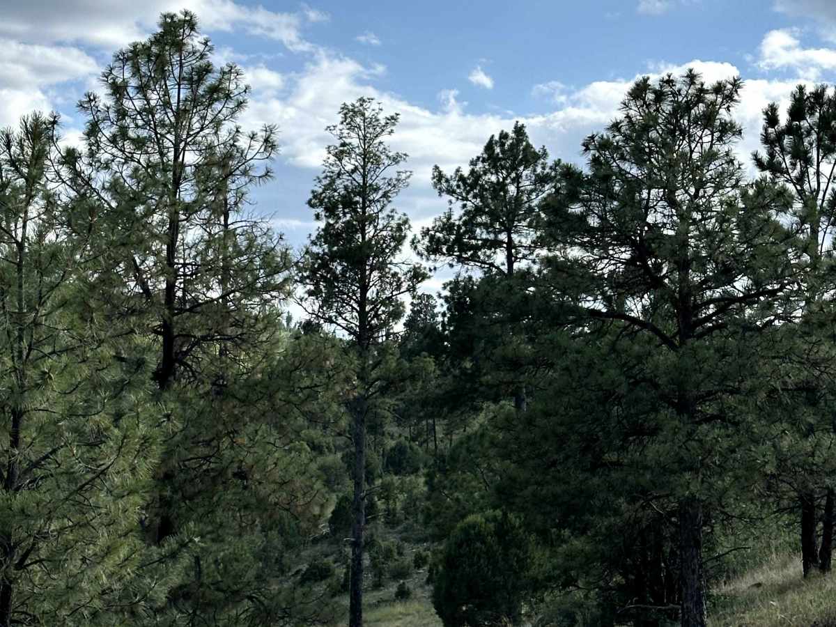
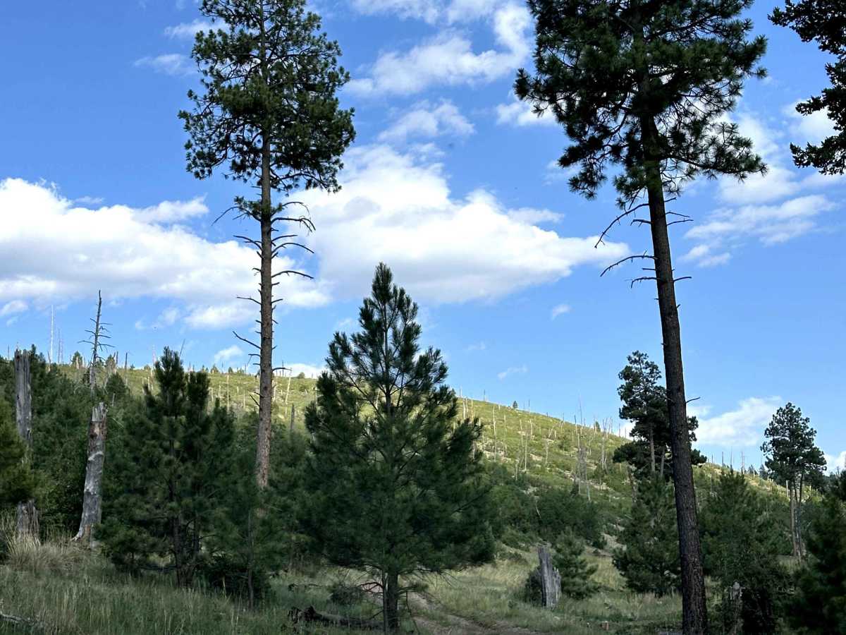
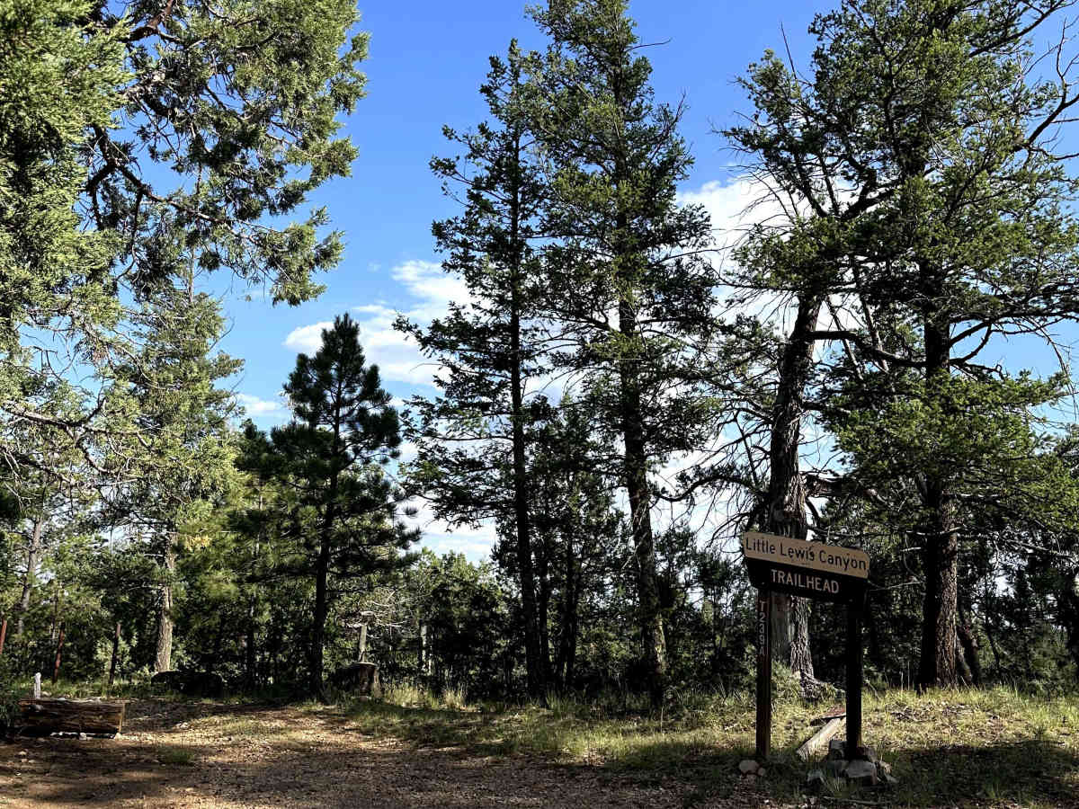
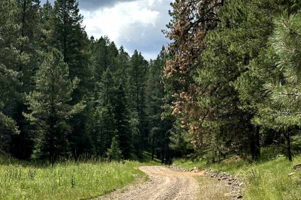
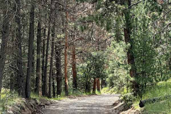
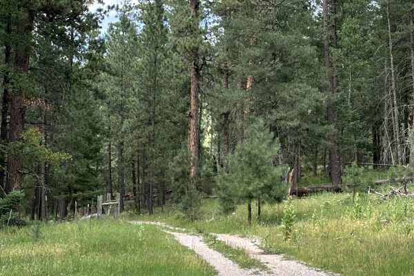
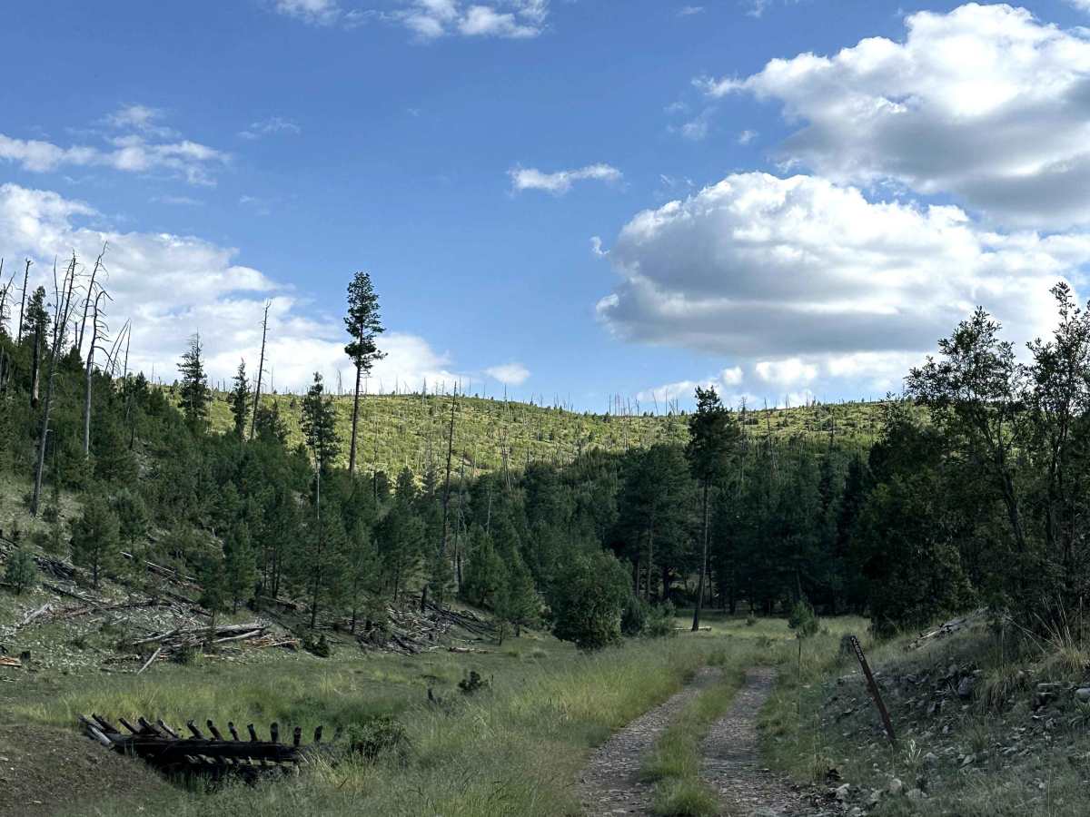
Pendleton Canyon is a scenic Forest Service road located within the Lincoln National Forest. The route winds through dense pine forest and provides a peaceful drive deep into the mountains while offering access to the Little Lewis Canyon Trailhead. Surrounded by towering trees and quiet forest scenery, this trail is a great option for those looking to explore a less traveled part of the forest.

Photos of Pendleton Can

Difficulty

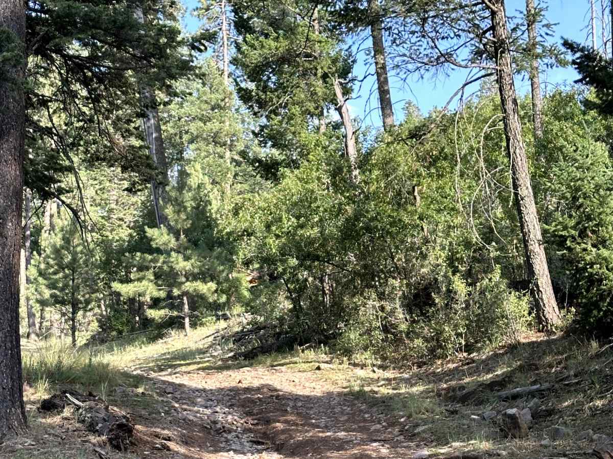
This trail is primarily a gravel road with several narrow sections and occasional ruts that require drivers to slow down and choose their line carefully. While the route is generally easy, the tighter portions of the trail can make passing oncoming vehicles more difficult, and the ruts may become more pronounced after rain.

Technical Rating

2

Pendleton Can Trail can be accessed by the following ride types:

  • Single Track
  • 50 Inch
  • 60 Inch
  • High Clearance
  • Full Width

Pendleton Can Map

The onX Offroad Difference

onX Offroad combines trail photos, descriptions, difficulty ratings, width restrictions, seasonality, and more in a user-friendly interface. Available on all devices, with offline access and full compatibility with CarPlay and Android Auto. Discover what you're missing today!

Open Trail Map