Agua Chiquita Ridge

Total Miles2.7
Technical Rating
3Easy
Best TimeSpring, Summer, Fall
Trail TypeFull-Width Road
Accessible By
Open Trail Map

Trail Overview

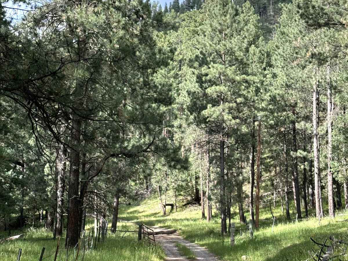
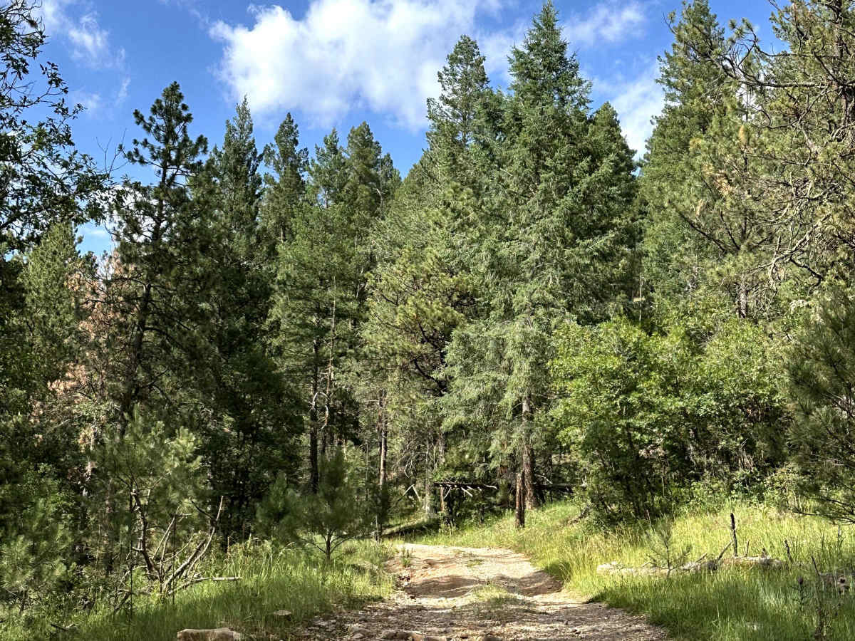
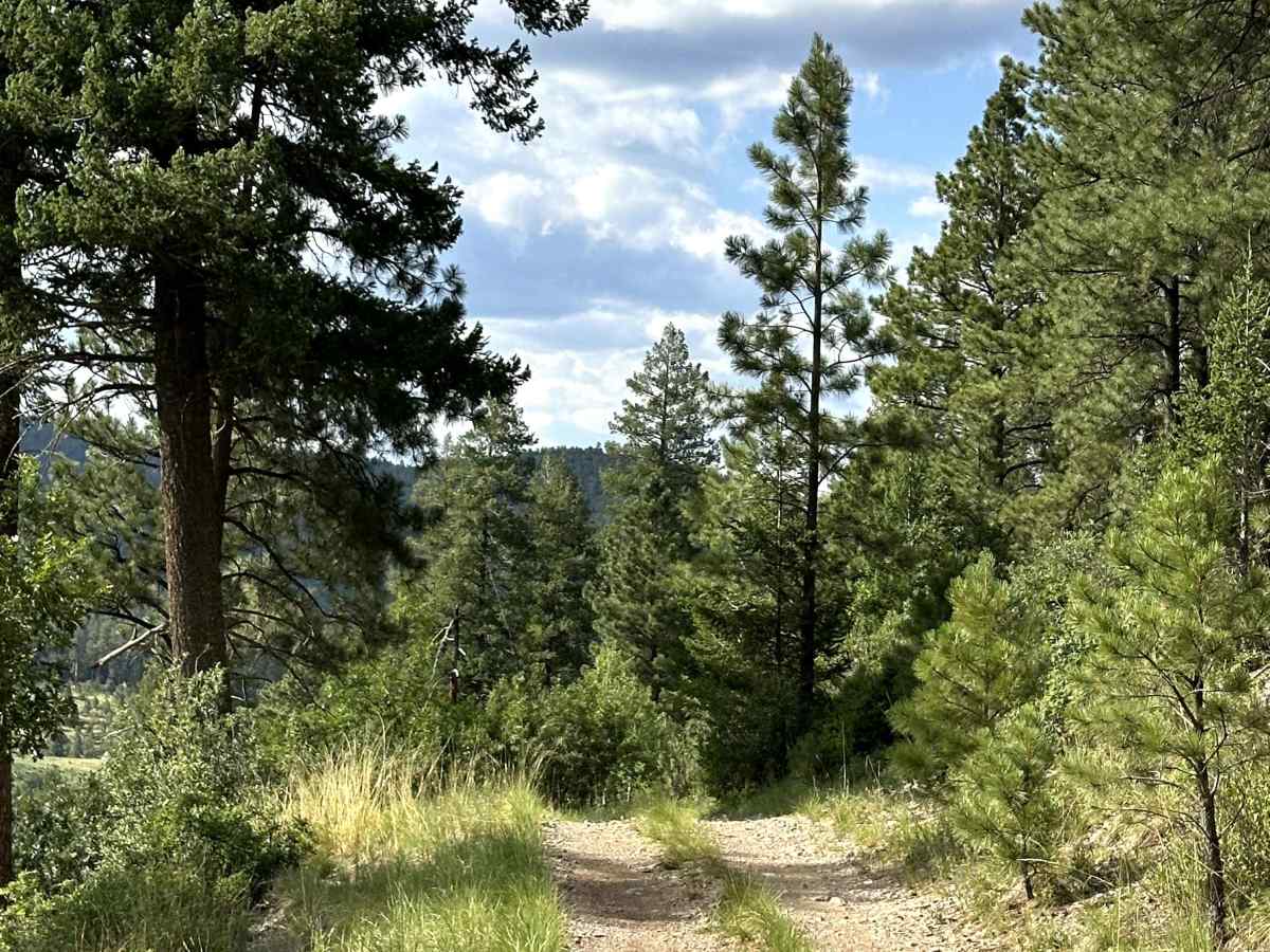
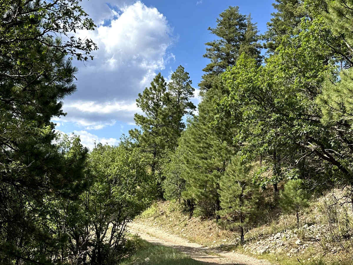
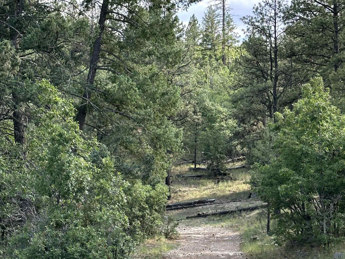
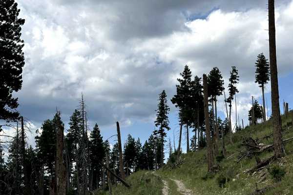
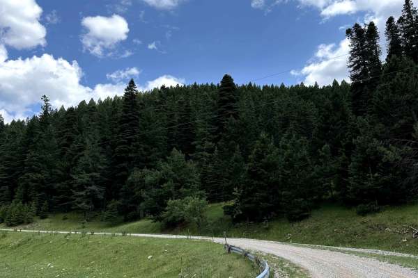
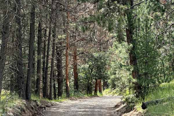
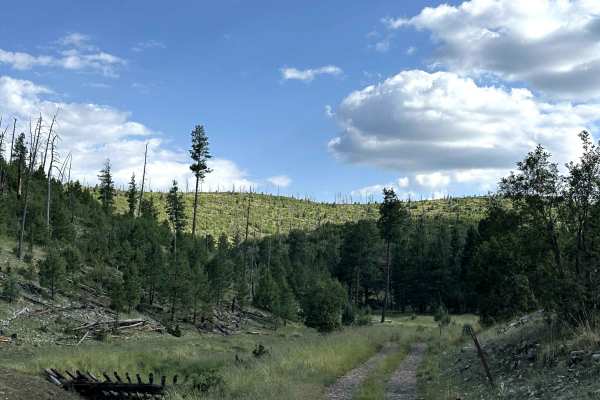
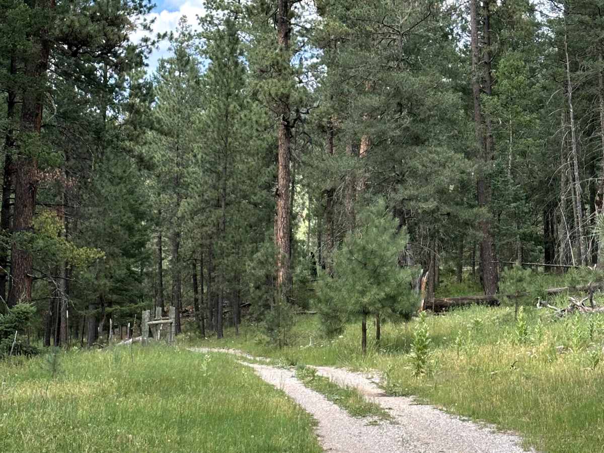
Agua Chiquita Ridge is a scenic Forest Service road located within the Lincoln National Forest. The trail begins by following a narrow ridgeline, offering beautiful views of the surrounding forest before continuing deeper into the mountains. It connects to two other Forest Service roads, making it a great option for building a longer overland adventure through this part of the forest.

Photos of Agua Chiquita Ridge

Difficulty

This trail is mostly dirt with several rocky sections, especially near the beginning where it follows the narrow ridgeline. The rocks can slow you down, but the obstacles are generally easy to navigate. A high-clearance 4x4 is recommended, and overall this is an easy-to-moderate trail.

Technical Rating

3

Agua Chiquita Ridge Trail can be accessed by the following ride types:

  • Single Track
  • 50 Inch
  • 60 Inch
  • High Clearance
  • Full Width

Agua Chiquita Ridge Map

The onX Offroad Difference

onX Offroad combines trail photos, descriptions, difficulty ratings, width restrictions, seasonality, and more in a user-friendly interface. Available on all devices, with offline access and full compatibility with CarPlay and Android Auto. Discover what you're missing today!

Open Trail Map