
Dirt Bike Trails
Near Lebec, California
Explore All Dirt Bike Trails Near Lebec, California
Dirt Bike Trails Near Lebec, California
Discover the best dirt bike trails near you. Browse trail maps, check difficulty ratings, and find your next adventure — whether you're looking for a quick ride or an all-day expedition.
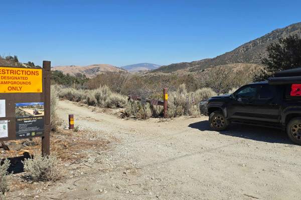
Edison Road (9N01) / Picnic Peak
This trail is usually well taken care of and is a very easy trail. 2WD will get you to the end and back, but you may slip, and/or traction control may kick on due to steep grades. You will find yourself winding through the trees and forest as you climb up to a height of 5,529 feet at the highest par...
Learn more about Edison Road (9N01) / Picnic Peak
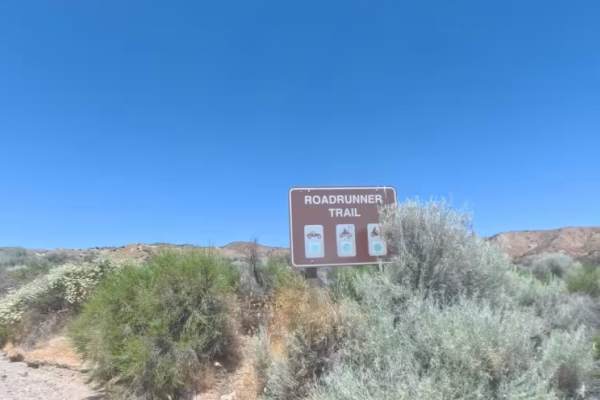
Powerline Road
Powerline Road is a smooth and highly accessible 2.2-mile two-way Green Circle dirt connector trail running directly beneath a dramatic high-voltage transmission line corridor in the Hungry Valley State Vehicular Recreation Area. The trail begins off the paved Gold Hill Road at a signed entry gate w...
Learn more about Powerline Road
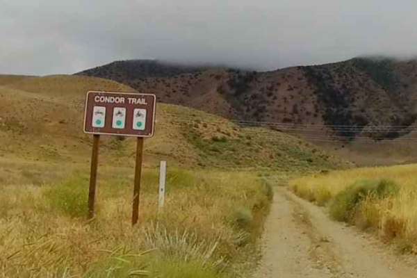
Condor Trail
The Condor Trail is located within the Hungry Valley SVRA and can be accessed from the North via the Stipa Trail. It starts at GPS coordinates N34.79368° W118.88718°. This is an out-and-back trail that is 1.6 miles in length. It crosses the Power Line Road at .42 miles. It has a large turnaround...
Learn more about Condor Trail
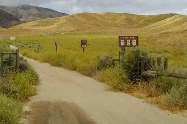
Stipa Trail
The Stipa Trail is a great place to start your ride in the Hungry Valley SVRA if you are there for a day ride. You can stage at the parking lot just past the entrance kiosk. This is an out & back trail (1.8 miles), but provides access to the Power Line Road - West, which can take you into the midd...
Learn more about Stipa Trail
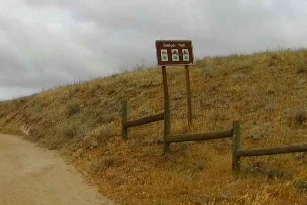
Badger Trail
The Badger Trail is a short out-and-back trail located in the Hungry Valley SVRA. It starts at GPS coordinate N34.79207° W118.87997° and can be accessed from the Stipa Trail on the North. It provides access to the Power Line Road that traverses through the SVRA. You can stage directly to the righ...
Learn more about Badger Trail
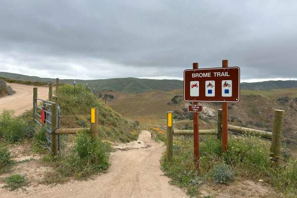
Brome Trail
A fun and flowing dirt bike and ATV-only trail in the north area of Hungry Valley SVRA. This trail can be accessed from Roadrunner Trail or, at the other end, Power Line Road. If entering from Roadrunner, the trail makes a fun loop via either Lower Brome Trail or Upper Brome Trail. Lower and Upper B...
Learn more about Brome Trail
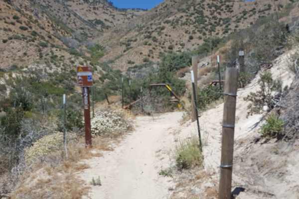
East Frazier Trail - FS 19W06
This is a point-to-point trail restricted to dirt bikes only that connects the Hungry Valley SVRA to the Frazier Mountain OHV area. From the east side in Hungry Valley, the trail will climb quickly and steadily 2700 feet up the side of Frazier Mountain. The majority of the route is a narrow shelf tr...
Learn more about East Frazier Trail - FS 19W06
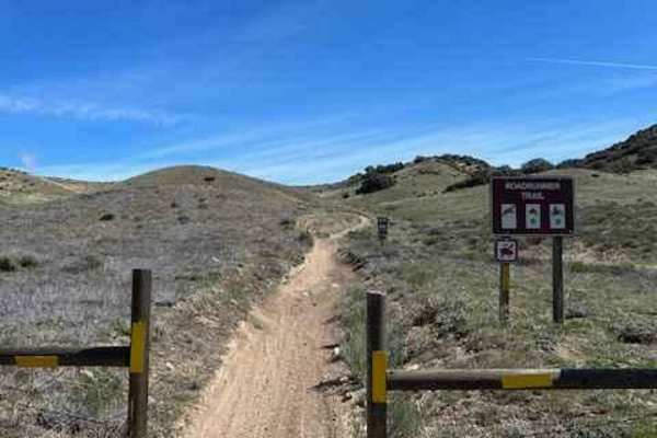
North Roadrunner Trail
Fun quad and dirt bike-only trail in the north area of Hungry Valley. Riding this trail south to north, you will pick up where the main section of Roadrunner meets Rattler Trail. Most of the Roadrunner trail in the rest of the park to the south is accessible to all vehicles, but this section is for ...
Learn more about North Roadrunner Trail
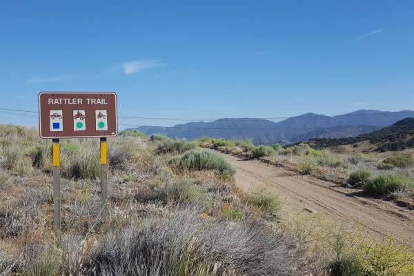
Rattler Trail
This is a point-to-point OHV trail running lengthwise through the Hungry Valley SVRA. The trail is accessible from either end and at multiple places along its route where it intersects with other trails in the area. From the north end, the trail begins as a one-lane, packed dirt road with frequent a...
Learn more about Rattler Trail
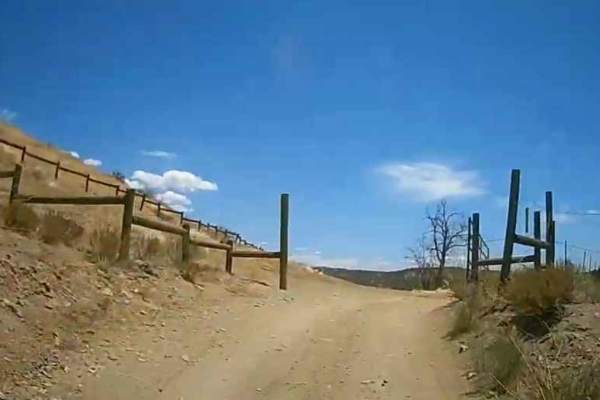
Sterling Canyon Trail
The Sterling Canyon Trail can be accessed from the North by taking the Old Cottonwood Trail for .15 of a mile (GPS Coordinates N34.77932° W118.88355°), or from the South at the Intersection with the street-legal Gold Hill Road (GPS coordinates N34.76662° W118.87774°). The trail is 1.9 miles in leng...
Learn more about Sterling Canyon Trail
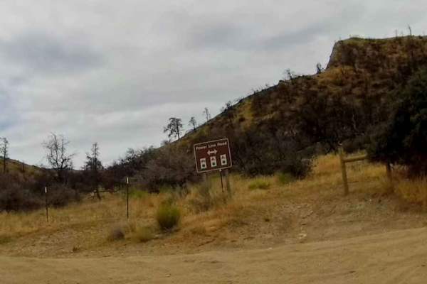
Power Line Road - East
This section of the Power Line Road starts at the intersection with the Edison Canyon Trail at GPS coordinates N34.77827° W118.87164°. The trail is 3.6 miles in length and ends at GPS coordinates N34.77422° W118.83203°. The trail is wide with a hard pack surface. It rises slightly in elevation bef...
Learn more about Power Line Road - East
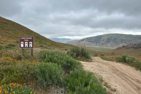
Lower Brome Trail
A fun and flowing intermediate dirt bike and ATV trail with lots of elevation changes, twists, and turns. This is part of the Brome Trail group, which, like Upper Brome, adds an extra level of difficulty to Brome Trail by itself. A good portion of this trail twists through trees, so keep an eye out ...
Learn more about Lower Brome Trail

Edison Canyon Trail
The Edison Canyon Trail is in the Hungry Valley SVRA and is a short .7 of a mile trail that starts in the Edison Campground (GPS Coordinates N34.77177° W118.87922°) and terminates at the intersection with the Power Line Road (GPS Coordinates N34.77827° W118.87164°). It is mostly a hard-packed doubl...
Learn more about Edison Canyon Trail
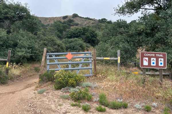
Coyote Trail
Short fun route for dirt bikes and quads. Halfway, there is a great vista that overlooks the south end of the park. This is a two-way trail, so keep an eye out for oncoming traffic and low-hanging branches. The trail is fun in both directions, with a climb first, then downhill on the second half as ...
Learn more about Coyote Trail
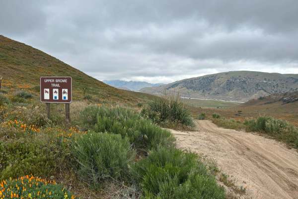
Upper Brome
A fun and flowing intermediate dirt bike and ATV trail with lots of elevation changes, twists, and turns. This is part of the Brome Trail group, which, like Lower Brome, adds an extra level of difficulty to Brome Trail by itself. Traveling this trail west to east will present the most challenging pa...
Learn more about Upper Brome
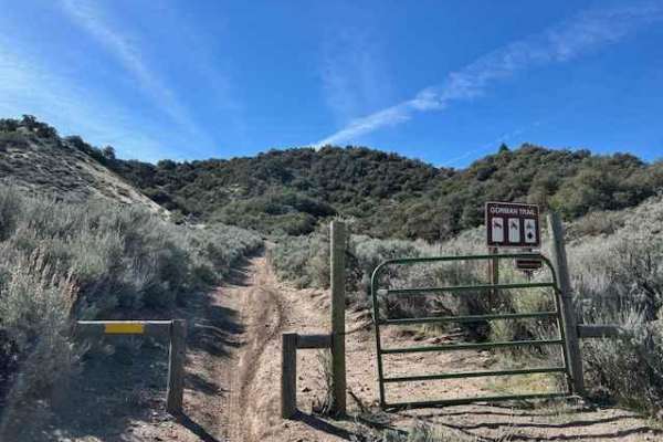
Gorman Trail
It is a great single-track trail, and dirt bikes are only available in Hungry Valley. Pick up this trail from either Road Runner on the north or Power Line on the south. When starting at the north end and heading south, a steep section is supplemented with diamond-shaped pavers to help mitigate eros...
Learn more about Gorman Trail
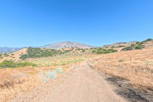
Red Tail Canyon Extension
The Red Tail Canyon Extension is a short yet incredibly useful 1-mile, two-way connector trail that bridges multiple routes within the local off-road network. Breaking away right off the Red Canyon Trail, the route kicks off dynamically with an immediate, steep hill climb within its first 500 feet. ...
Learn more about Red Tail Canyon Extension
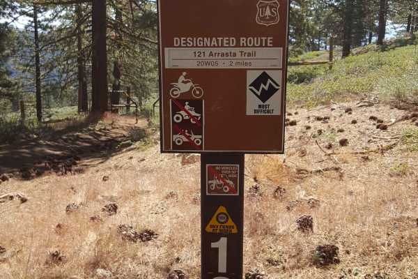
Arrastra OHV #121 - FS 20W05
This is a point-to-point single-track trail connecting the Tejon Trail to the top of Frazier Mountain near the old Lookout Tower. It is designated "Most Difficult" by the Forest Service, which is warranted since it climbs 2000 feet in a short 2 miles. Trail use is restricted to dirt bikes only by na...
Learn more about Arrastra OHV #121 - FS 20W05

Vics Cat Trail
Vics Cat Trail is a 0.6-mile single-lane Black Diamond-rated dirt trail located in the Hungry Valley State Vehicular Recreation Area. The trail runs through the Post Fire 2024 burn zone with scorched hillsides and dried brush visible throughout. Important to note, the Black Diamond rating sign only ...
Learn more about Vics Cat Trail
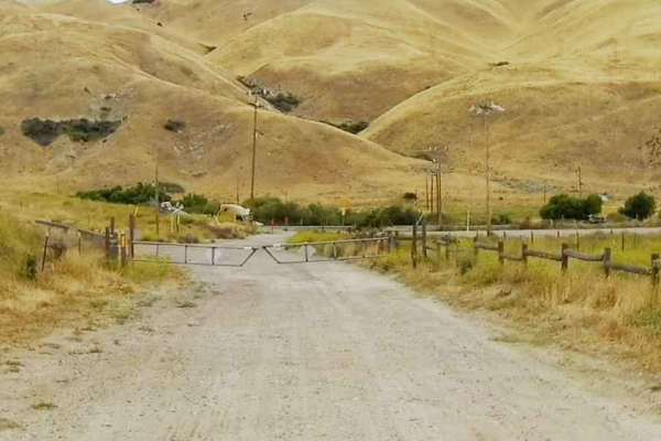
Salt Lick Trail
The Salt Lick Trail starts at the intersection with the Power Line Road - East Trail at GPS coordinates N34.77486° W118.84505° and is 1.4 miles long. This is an out-and-back trail that ends at a locked gate. There is an option to take the Wheatfield Trail at 1 mile down the trail. This is a hard-p...
Learn more about Salt Lick Trail
ATV trails near Lebec, California
Explore ATV-friendly trails near you. These trails are accessible for vehicles up to 50 inches wide, perfect for ATVs and smaller off-road machines.
Edison Road (9N01) / Picnic Peak
This trail is usually well taken care of and is a very easy trail. 2WD will get you to the end and back, but you may slip, and/or traction control may kick on due to steep grades. You will find yourself winding through the trees and forest as you climb up to a height of 5,529 feet at the highest par...
Learn more about Edison Road (9N01) / Picnic Peak
Powerline Road
Powerline Road is a smooth and highly accessible 2.2-mile two-way Green Circle dirt connector trail running directly beneath a dramatic high-voltage transmission line corridor in the Hungry Valley State Vehicular Recreation Area. The trail begins off the paved Gold Hill Road at a signed entry gate w...
Learn more about Powerline Road
Condor Trail
The Condor Trail is located within the Hungry Valley SVRA and can be accessed from the North via the Stipa Trail. It starts at GPS coordinates N34.79368° W118.88718°. This is an out-and-back trail that is 1.6 miles in length. It crosses the Power Line Road at .42 miles. It has a large turnaround...
Learn more about Condor Trail
Stipa Trail
The Stipa Trail is a great place to start your ride in the Hungry Valley SVRA if you are there for a day ride. You can stage at the parking lot just past the entrance kiosk. This is an out & back trail (1.8 miles), but provides access to the Power Line Road - West, which can take you into the midd...
Learn more about Stipa Trail
UTV/side-by-side trails near Lebec, California
Find UTV and side-by-side trails near you. These trails accommodate vehicles up to 60 inches wide, ideal for UTVs, side-by-sides, and wider off-road rigs.
Edison Road (9N01) / Picnic Peak
This trail is usually well taken care of and is a very easy trail. 2WD will get you to the end and back, but you may slip, and/or traction control may kick on due to steep grades. You will find yourself winding through the trees and forest as you climb up to a height of 5,529 feet at the highest par...
Learn more about Edison Road (9N01) / Picnic Peak
Powerline Road
Powerline Road is a smooth and highly accessible 2.2-mile two-way Green Circle dirt connector trail running directly beneath a dramatic high-voltage transmission line corridor in the Hungry Valley State Vehicular Recreation Area. The trail begins off the paved Gold Hill Road at a signed entry gate w...
Learn more about Powerline Road
Condor Trail
The Condor Trail is located within the Hungry Valley SVRA and can be accessed from the North via the Stipa Trail. It starts at GPS coordinates N34.79368° W118.88718°. This is an out-and-back trail that is 1.6 miles in length. It crosses the Power Line Road at .42 miles. It has a large turnaround...
Learn more about Condor Trail
Stipa Trail
The Stipa Trail is a great place to start your ride in the Hungry Valley SVRA if you are there for a day ride. You can stage at the parking lot just past the entrance kiosk. This is an out & back trail (1.8 miles), but provides access to the Power Line Road - West, which can take you into the midd...
Learn more about Stipa Trail
The onX Offroad Difference
onX Offroad combines trail photos, descriptions, difficulty ratings, width restrictions, seasonality, and more in a user-friendly interface. Available on all devices, with offline access and full compatibility with CarPlay and Android Auto. Discover what you're missing today!
Open Trail Map