
Dirt Bike Trails
Near Juniper Canyon, Oregon
Explore All Dirt Bike Trails Near Juniper Canyon, Oregon
Dirt Bike Trails Near Juniper Canyon, Oregon
Discover the best dirt bike trails near you. Browse trail maps, check difficulty ratings, and find your next adventure — whether you're looking for a quick ride or an all-day expedition.
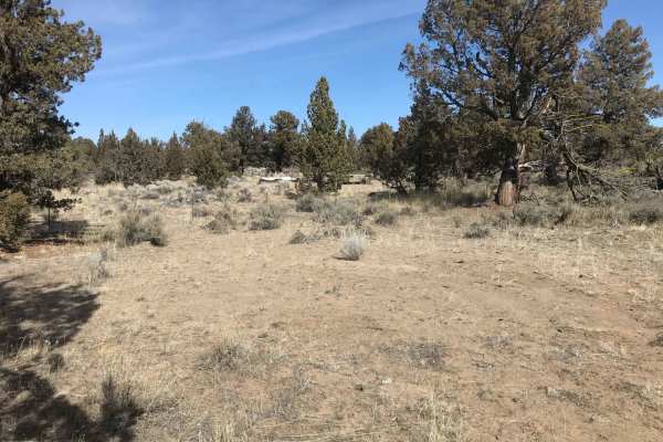
Millican Plateau Trail 84
This is a high desert intermediate rated trail for dirt motorcycles and ATVs with deep sandy whoops and long stretches of rocky terrain requiring picking a safe line. Best riding seasons are early summer and late fall due to winter snow and ice and high summer heat and dusty conditions.
Learn more about Millican Plateau Trail 84
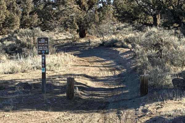
Millican Plateau OHV Trail 86
This is a dirt trail, with the potential to kick up dust during the summer when it's dry, and could be wet and muddy during the spring and winter, depending on the weather. Multiple whoops sections with deeper whoops at times and puddles along the way, depending again on the weather. Low-hanging bra...
Learn more about Millican Plateau OHV Trail 86
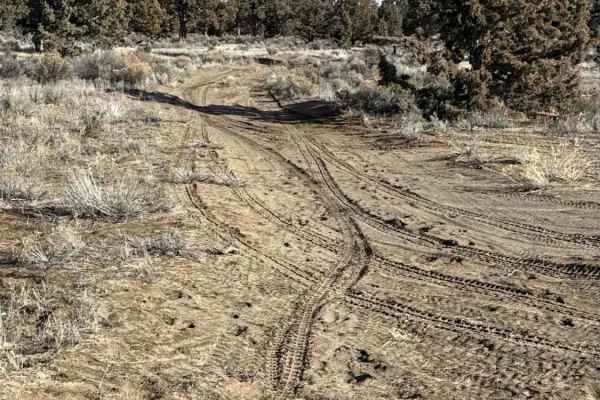
Millican Plateau OHV Trail 90
This trail consists primarily of dirt, with sections that can be loose or rocky at times. Occasional rock gardens and mild whoop sections are present but remain manageable for most riders, though beginners should use caution or take alternate lines when needed. Conditions may become wet or muddy dur...
Learn more about Millican Plateau OHV Trail 90
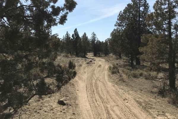
Millican Plateau Trail 82
This is a fairly flat high desert trail that connects to several main trails in the area. It has short stretches of mild rocky sections requiring care in choosing a safe line for motorcycles. Snow in winter time and dusty conditions and high use in summer will challenge speeds and accessibility.
Learn more about Millican Plateau Trail 82
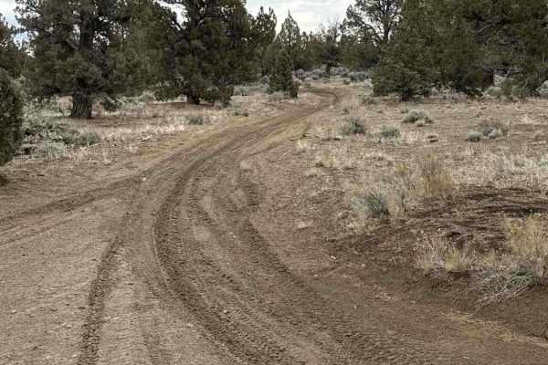
Millican Plateau OHV Trail 83
This trail is made up of dirt and sand primarily. Could be wet and muddy with moderate puddles depending on the time of year you ride it. Primarily for dirt/trail bikes and ATVs. There are a number of mild to moderate rock gardens throughout the trail, which might be slightly more challenging for be...
Learn more about Millican Plateau OHV Trail 83

Millican Plateau OHV Trail 55
Trail is composed of dirt, rock, sand, and mud at times of the year. It's a moderately technical trail as there are lots of twists and turns. Moderate whoops sections are prevalent throughout, with some being fairly deep. There can be large puddles depending on the time of year. This trail can be ch...
Learn more about Millican Plateau OHV Trail 55
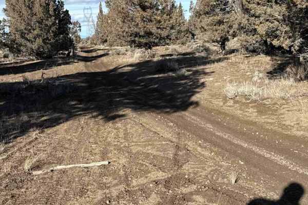
Millican Plateau OHV Trail 17
This trail consists mostly of dirt, which could be loose or muddy depending on the time of year, with a puddle here or there, depending on whether you ride it after rain or not. There is loose rock and a few rock gardens throughout. Lots of whoops at times, as most of the trails in this region, som...
Learn more about Millican Plateau OHV Trail 17
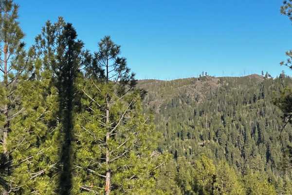
Lower McKay Creek Road to West Fork Mill Creek Road
This route winds through the Ochoco National Forest and is composed mainly of Forest Service roads that are washboarded and rutted. About halfway through the route, you will be following along a creek with downed trees and fallen rocks. With four creek crossings, this is a beautiful route to drive.
Learn more about Lower McKay Creek Road to West Fork Mill Creek Road
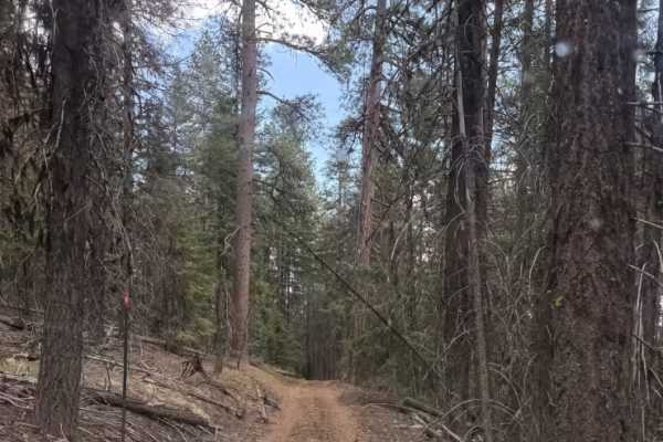
Wildcat Mountain Trail - FS 3350
Trail begins extremely easy and predominately a mix of gravel and dirt for the first half of the trail. Gets narrow near the summit around 80-90in wide with a height limit of around 8ft due to fallen trees and overhang. There is a publicly accessible gate near the top of the mountain that is a littl...
Learn more about Wildcat Mountain Trail - FS 3350
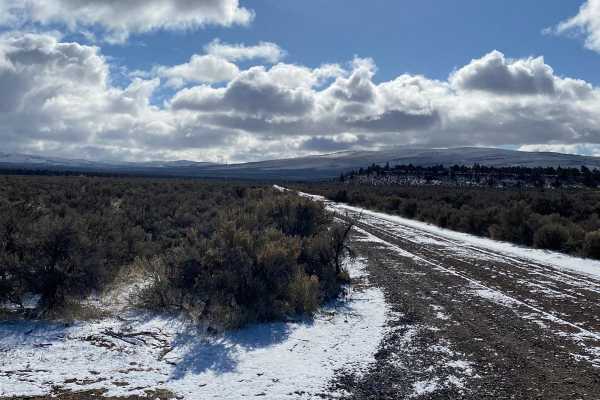
Cinder Butte Viewpoint
This trail leads to the cinder butte. Intertwined into and around this track are a lot of dirt bike trails that make this area so much fun. The beginning of this trail is directly off Gorge Millican road. This is a popular OHV area. There is a side road that cuts off about a mile of whoop sections t...
Learn more about Cinder Butte Viewpoint
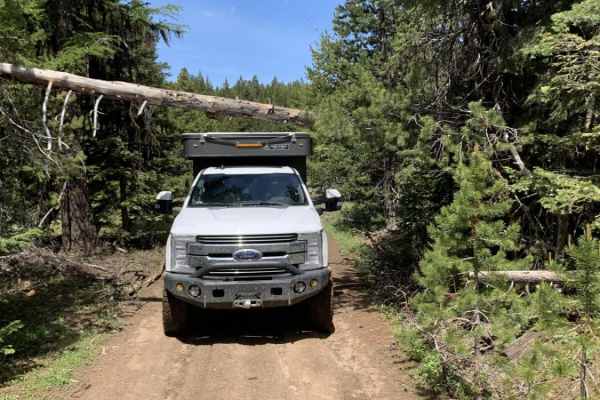
Summit Road NF2630
This route transports travelers from Highway 26 north of Prineville Oregon into the middle of the Ochoco National Forest. Along the way you'll find yourself navigating well-groomed forest service roads, fairly narrow and rocky road surfaces and a few small obstacles. You'll be rewarded with wonderfu...
Learn more about Summit Road NF2630
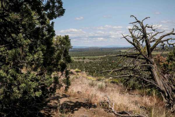
75
Trail 75 is a 1.6-mile loop starting from the intersection with Trail 74, running along a flat mesa top with expansive valley views, especially as it rides along the mesa's edge. The trail includes tight sections weaving between trees and areas with more embedded rock, providing a mix of flow and te...
Learn more about 75
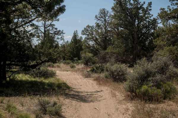
74
Trail 74 is a 1.6-mile route beginning on a flat mesa top with easy dirt terrain. The trail crosses Trail 73 and a few roads before a semi-steep descent off the mesa near the intersection with Trail 73. It features whoops and mostly smooth dirt with scattered loose rocks. The landscape includes juni...
Learn more about 74
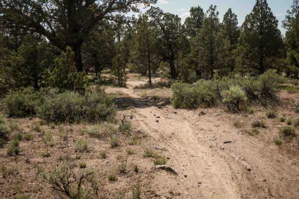
73
Trail 73 is an easy 1.7-mile single-track connector between Trails 75 and 72. The trail features mostly dirt terrain with scattered embedded and loose rocks, along with lots of whoops. The profile is very gradual with small hills up and down. Trail 73 crosses Trail 74 about halfway through.
Learn more about 73
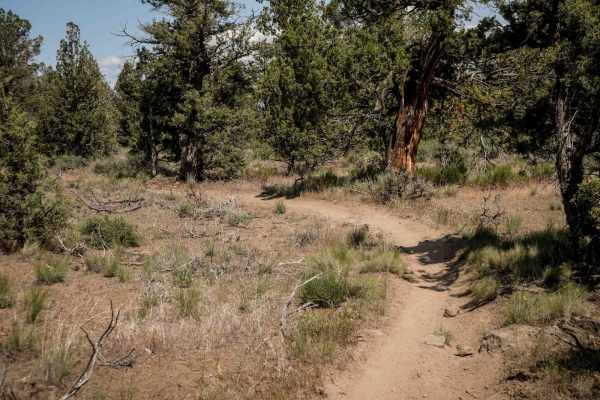
72
Trail 72 is an almost 3-mile-long dirt bike-only route that runs between Trails 71 and 74. It features tight curves and requires precise maneuvering through trees, with narrow gaps that might catch your handlebars if not careful. The trail is mostly smooth dirt with small jagged rocks scattered thro...
Learn more about 72
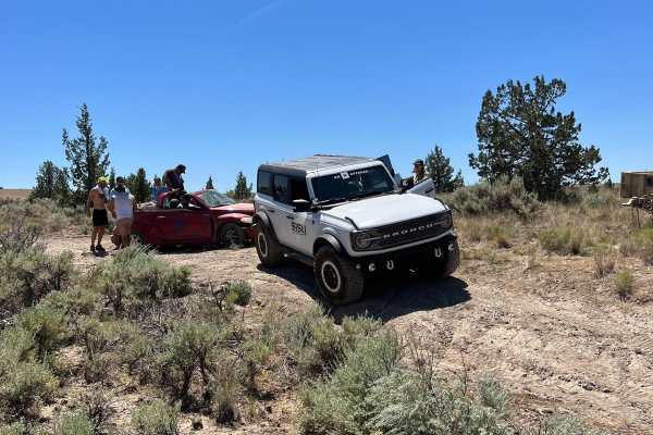
Willow Creek Crossing
So easy that a PT Cruiser can do it...wait, no. Please don't. To do this trail, a rear locker and 35-inch tires are recommended. It's short and sweet but an absolute blast and a great intro to teach people how to use the features of their rig.
Learn more about Willow Creek Crossing
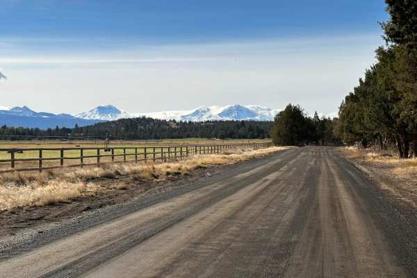
Barr Road Cut Through
A rad way to get from Tumalo to the Cline Butte Trail System. This is an unmaintained road that is the fun route between Tumalo and Sisters or Redmond. Generally plenty of friendly people along the way that helps out the less equipped. Cline Butte offers trails for all vehicle types and technical te...
Learn more about Barr Road Cut Through
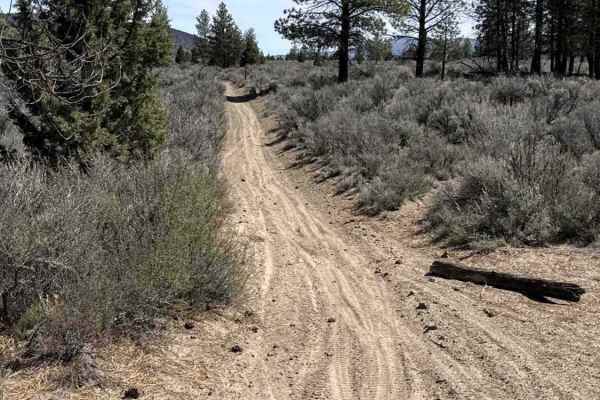
East Fort Rock OHV Trail 25
This is a really fun trail that consists of a variety of terrain and technicality. Most of the terrain is loose dirt, but there is some sand and loose rock as you go. It's a fairly easy trail with some whoops at times, but there are also sections where you can go wide open as well. Part of the trail...
Learn more about East Fort Rock OHV Trail 25
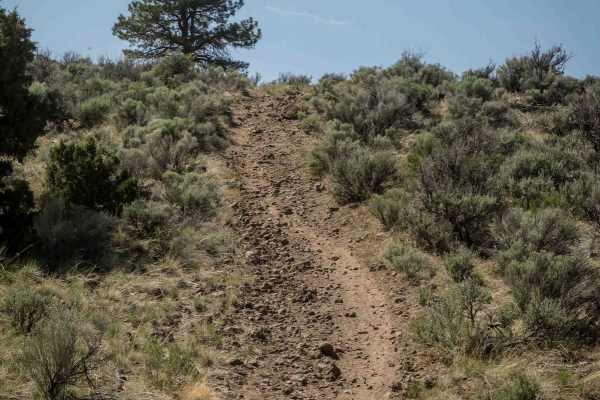
19
Trail 19 is a moderate route due to its increased elevation change, steeper grades, and slightly more technical terrain compared to surrounding trails. The south end begins with a rocky, steeper climb featuring loose pumice stone, leading to a mesa top with wide open sagebrush meadows. From there, t...
Learn more about 19
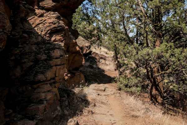
99
Trail 99 winds through low alpine terrain with tight curves among juniper trees and features numerous embedded rocks and ledge obstacles, making it an intermediate route. The trail has more elevation gain in the middle of the route, compared to surrounding trails, with small climbs and descents ofte...
Learn more about 99
ATV trails near Juniper Canyon, Oregon
Explore ATV-friendly trails near you. These trails are accessible for vehicles up to 50 inches wide, perfect for ATVs and smaller off-road machines.
Millican Plateau Trail 84
This is a high desert intermediate rated trail for dirt motorcycles and ATVs with deep sandy whoops and long stretches of rocky terrain requiring picking a safe line. Best riding seasons are early summer and late fall due to winter snow and ice and high summer heat and dusty conditions.
Learn more about Millican Plateau Trail 84
Millican Plateau OHV Trail 86
This is a dirt trail, with the potential to kick up dust during the summer when it's dry, and could be wet and muddy during the spring and winter, depending on the weather. Multiple whoops sections with deeper whoops at times and puddles along the way, depending again on the weather. Low-hanging bra...
Learn more about Millican Plateau OHV Trail 86
Millican Plateau OHV Trail 90
This trail consists primarily of dirt, with sections that can be loose or rocky at times. Occasional rock gardens and mild whoop sections are present but remain manageable for most riders, though beginners should use caution or take alternate lines when needed. Conditions may become wet or muddy dur...
Learn more about Millican Plateau OHV Trail 90
Millican Plateau Trail 82
This is a fairly flat high desert trail that connects to several main trails in the area. It has short stretches of mild rocky sections requiring care in choosing a safe line for motorcycles. Snow in winter time and dusty conditions and high use in summer will challenge speeds and accessibility.
Learn more about Millican Plateau Trail 82
UTV/side-by-side trails near Juniper Canyon, Oregon
Find UTV and side-by-side trails near you. These trails accommodate vehicles up to 60 inches wide, ideal for UTVs, side-by-sides, and wider off-road rigs.
Millican Plateau OHV Trail 90
This trail consists primarily of dirt, with sections that can be loose or rocky at times. Occasional rock gardens and mild whoop sections are present but remain manageable for most riders, though beginners should use caution or take alternate lines when needed. Conditions may become wet or muddy dur...
Learn more about Millican Plateau OHV Trail 90
Lower McKay Creek Road to West Fork Mill Creek Road
This route winds through the Ochoco National Forest and is composed mainly of Forest Service roads that are washboarded and rutted. About halfway through the route, you will be following along a creek with downed trees and fallen rocks. With four creek crossings, this is a beautiful route to drive.
Learn more about Lower McKay Creek Road to West Fork Mill Creek Road
Wildcat Mountain Trail - FS 3350
Trail begins extremely easy and predominately a mix of gravel and dirt for the first half of the trail. Gets narrow near the summit around 80-90in wide with a height limit of around 8ft due to fallen trees and overhang. There is a publicly accessible gate near the top of the mountain that is a littl...
Learn more about Wildcat Mountain Trail - FS 3350
Summit Road NF2630
This route transports travelers from Highway 26 north of Prineville Oregon into the middle of the Ochoco National Forest. Along the way you'll find yourself navigating well-groomed forest service roads, fairly narrow and rocky road surfaces and a few small obstacles. You'll be rewarded with wonderfu...
Learn more about Summit Road NF2630
The onX Offroad Difference
onX Offroad combines trail photos, descriptions, difficulty ratings, width restrictions, seasonality, and more in a user-friendly interface. Available on all devices, with offline access and full compatibility with CarPlay and Android Auto. Discover what you're missing today!
Open Trail Map