
Dirt Bike Trails
Near Jardine, Montana
Explore All Dirt Bike Trails Near Jardine, Montana
Dirt Bike Trails Near Jardine, Montana
Discover the best dirt bike trails near you. Browse trail maps, check difficulty ratings, and find your next adventure — whether you're looking for a quick ride or an all-day expedition.
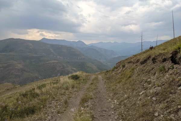
Wicked Creek Loop
Wicked Creek Loop offers an accessible and scenic escape for offroaders seeking a leisurely mountain drive with panoramic views of Paradise Valley and the surrounding peaks. Situated in the Absaroka Range within the Custer Gallatin National Forest south of Livingston, Montana, this 19.8-mile trail i...
Learn more about Wicked Creek Loop
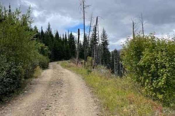
Mill Creek Road
Mill Creek Road is a very well-maintained gravel road that accesses several trailheads and campgrounds in the Gallatin National Forest. This road is a wide gravel road, except for the last three miles, in which the road narrows down to a single-vehicle-width road. This part of the road is very narro...
Learn more about Mill Creek Road
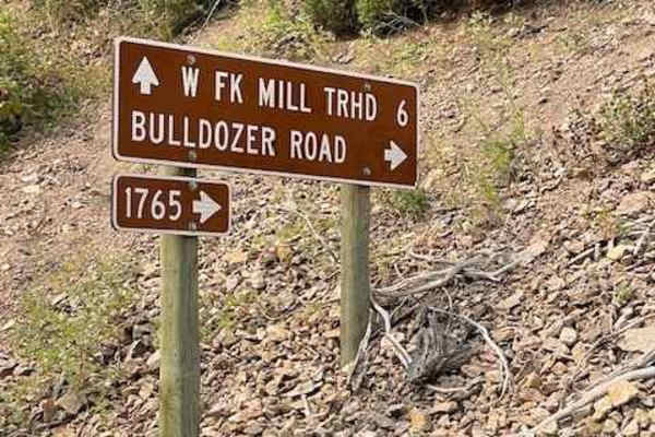
Bulldozer Road
Bulldozer Road is a nice drive right off Mill Creek Road. The road starts off with a series of very tight switchbacks and continues on for about 4 miles with a very consistent 8-10 percent grade. You will not need Four Wheel Drive or any ground clearance to make it to the top of this road. There ...
Learn more about Bulldozer Road
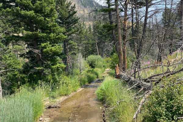
Sixmile Creek Road
Sixmile Creed Road is a very scenic out and back gravel road that becomes less maintained the further back you discover. The entrance can be found off Dailey Lake Road. From the entrance it is 4.2 miles to the end and gains 725ft in elevation. It can all be done in a 2WD vehicle with decent ground c...
Learn more about Sixmile Creek Road
Independence Pass
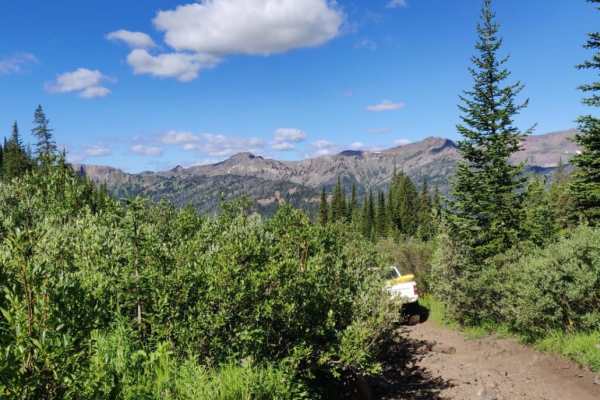
Independence Pass takes you from the bottom of the Boulder River Valley up through a very wooded trail with occasional glimpses of the surrounding mountains up to Blue Lake at the summit. Camping towards the top is abundant with many great places to pull off and make camp. Be aware of the dense bea...
Learn more about Independence Pass
Buffalo Horn #1
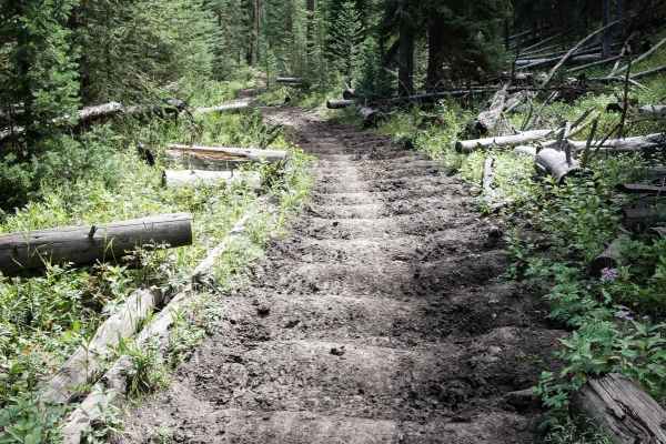
Buffalo Horn single track starts at the Buffalo Horn Trailhead, at the end of Buffalo Horn Creek Road, off Highway 191. It begins on a wide dirt path, with tons of aggressive deep bumps and troughs horizontally across the trail from horse usage. It crosses small streams, sometimes going over small b...
Learn more about Buffalo Horn #1
Porcupine - FS 199
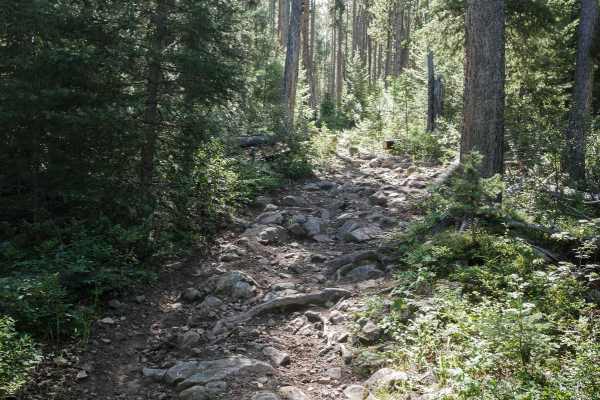
The Porcupine single track connects Buffalo Horn in the south to Porcupine Creek in the north. It goes for 7 miles through the Gallatin National Forest, through a mix of wide open grassy meadows, and denser forest. The trail through the meadows is really narrow and skinny, and sometimes rutted and m...
Learn more about Porcupine - FS 199
Ramshorn Lake #160
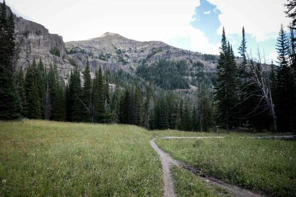
From the north end, the Ramshorn Lake trail starts in the meadows, then goes along the creek for a long way and has a bunch of embedded rock features and roots, and does a little bit of side-hilling. There are lots of jarring rocky and rooty sections with embedded boulders that beat you down, but no...
Learn more about Ramshorn Lake #160
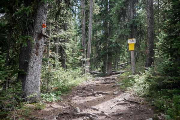
Golden Trout Lakes #83
The Golden Trout Lakes is a short trail that starts at the Upper Portal Trailhead at a big dirt parking lot. It goes south through the dense forest on a wide dirt path with lots of small roots across the trail. It has small embedded rocks, tight curves through the forest, tight hairpin turns, and co...
Learn more about Golden Trout Lakes #83
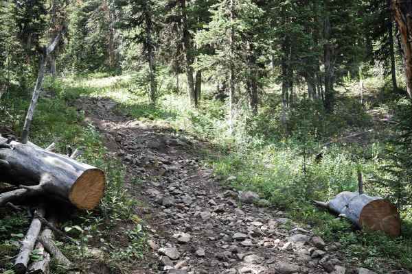
Hidden Lake Cutoff - FS 194
The Hidden Lake Cutoff trail goes through the Gallatin National Forest for 2 miles between the Golden Trout Lakes and Hidden Lake Divide single tracks. It's an intermediate connector trail with lots of embedded rocks, roots, and tight curves. There are no significantly large ledges or obstacles, but...
Learn more about Hidden Lake Cutoff - FS 194
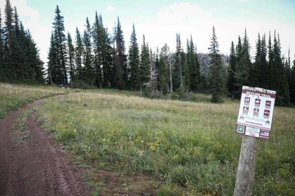
Skyline ATV
The Skyline ATV trail starts at the Teepee Creek Trailhead in the Gallatin National Forest at a small dirt parking lot. This trail is open to vehicles 50" or less, and there is a boulder pinch point as it enters the forest. It's a very easy two-track for the entire 5 miles until it meets up with the...
Learn more about Skyline ATV
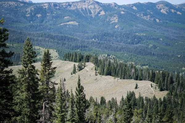
Cinnamon Trail
The Cinnamon Trail starts on the east end at the Cinnamon Creek Trailhead. It climbs up into aspen trees through beautiful meadows, on a fast and flowy single track that is smooth and narrow. There are several muddy spots that are rutted, and there are small embedded boulders that you have to ride o...
Learn more about Cinnamon Trail
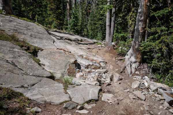
Hidden Lakes ATV #179
The Hidden Lakes ATV trail starts at the Hidden Lakes Trailhead, which is accessed through Portal Creek Road and Hidden Lakes Road. The first 1.5 miles up to the intersection with the Hidden Lakes Divide single track is relatively easy. It's a wide dirt two-track between a forest of pine trees, with...
Learn more about Hidden Lakes ATV #179
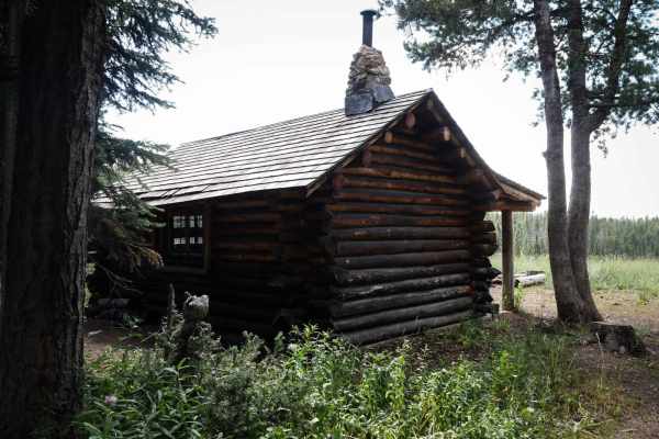
Cabin Creek Cabin
This is a .5-mile-long single track that accesses the Cabin Creek Cabin, which is a remote log cabin that you can rent by reservation. It's a single-room cabin that was built by the Civilian Conservation Corps in the 1930s. The trail to get there loops off of the Red Cub trail, and is an easy single...
Learn more about Cabin Creek Cabin
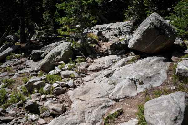
Hidden Lakes ATV #179 - Extreme Difficulty Section
The last half mile of the Hidden Lakes ATV trail is extremely rocky and difficult and is essentially impassable to ATVs due to near vertical climbs requiring very technical hard enduro-style riding for dirt bikers. It gets extremely difficult after the first Hidden Lake. It becomes narrow and more l...
Learn more about Hidden Lakes ATV #179 - Extreme Difficulty Section
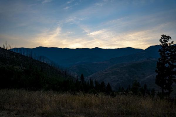
Pine Creek
This is a really pretty drive to some nice views and campsites. Nothing technical to worry about, a car could make it through with some determination. There is a small water crossing and some ruts, but nothing to be concerned about. It's a nice spot to watch the sunset or get out of town for a nigh...
Learn more about Pine Creek

Hidden Lake Divide #66
The Hidden Lake Divide Trail starts out from the south end as a skinny trail going fast through wide open grassy meadows with small creek crossings. There are small wooden bridges over the creeks, and sometimes it's muddy and boggy, with rutted spots in the meadows. It enters the forest with lots of...
Learn more about Hidden Lake Divide #66
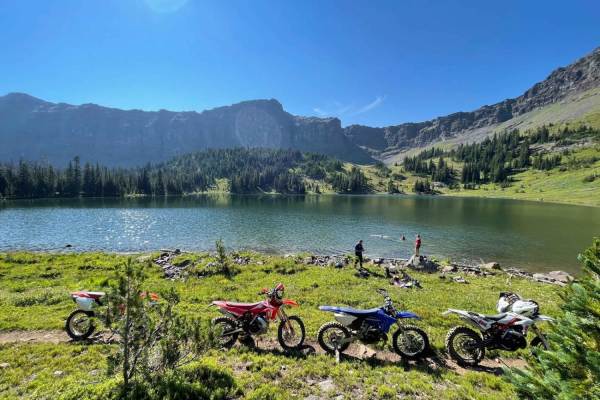
Heather & Emerald Scramble
Starting from the East Fork Hyalite trailhead, you will be winding and zipping through the trees headed south until you reach Emerald lake, followed by Heather Lake. Emerald is about 5 miles, with Heather being about 1 more mile. This trail has some difficulty however followed by beautiful views of ...
Learn more about Heather & Emerald Scramble
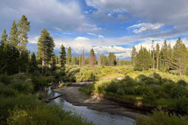
Cougar Cr Park Boundary
If you want to experience a little Yellowstone but are not planning on going to the park, this trail has a few hidden gems. It is a day-use area and runs right along the Yellowstone park boundary. There are a couple of day-use pull-offs at scenic spots, and you do have to drive down them to enjoy th...
Learn more about Cougar Cr Park Boundary
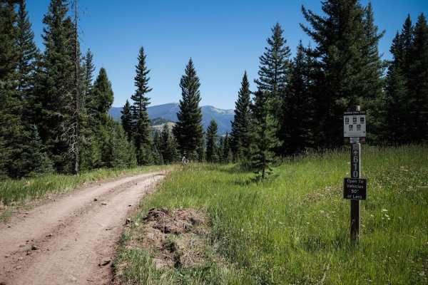
Lower Buck Ridge ATV
Lower Buck Ridge is a short ATV trail that is open 6/16 - 12/1 to vehicles 50" or less. The entire 2 miles of trail are a super wide dirt path. It looks more like an old road it's so wide. It's super easy the whole way, with hardly any rocks and mostly smooth dirt. Watch out for bikers and UTVs head...
Learn more about Lower Buck Ridge ATV
ATV trails near Jardine, Montana
Explore ATV-friendly trails near you. These trails are accessible for vehicles up to 50 inches wide, perfect for ATVs and smaller off-road machines.
Wicked Creek Loop
Wicked Creek Loop offers an accessible and scenic escape for offroaders seeking a leisurely mountain drive with panoramic views of Paradise Valley and the surrounding peaks. Situated in the Absaroka Range within the Custer Gallatin National Forest south of Livingston, Montana, this 19.8-mile trail i...
Learn more about Wicked Creek Loop
Mill Creek Road
Mill Creek Road is a very well-maintained gravel road that accesses several trailheads and campgrounds in the Gallatin National Forest. This road is a wide gravel road, except for the last three miles, in which the road narrows down to a single-vehicle-width road. This part of the road is very narro...
Learn more about Mill Creek Road
Bulldozer Road
Bulldozer Road is a nice drive right off Mill Creek Road. The road starts off with a series of very tight switchbacks and continues on for about 4 miles with a very consistent 8-10 percent grade. You will not need Four Wheel Drive or any ground clearance to make it to the top of this road. There ...
Learn more about Bulldozer Road
Sixmile Creek Road
Sixmile Creed Road is a very scenic out and back gravel road that becomes less maintained the further back you discover. The entrance can be found off Dailey Lake Road. From the entrance it is 4.2 miles to the end and gains 725ft in elevation. It can all be done in a 2WD vehicle with decent ground c...
Learn more about Sixmile Creek Road
UTV/side-by-side trails near Jardine, Montana
Find UTV and side-by-side trails near you. These trails accommodate vehicles up to 60 inches wide, ideal for UTVs, side-by-sides, and wider off-road rigs.
Mill Creek Road
Mill Creek Road is a very well-maintained gravel road that accesses several trailheads and campgrounds in the Gallatin National Forest. This road is a wide gravel road, except for the last three miles, in which the road narrows down to a single-vehicle-width road. This part of the road is very narro...
Learn more about Mill Creek Road
Bulldozer Road
Bulldozer Road is a nice drive right off Mill Creek Road. The road starts off with a series of very tight switchbacks and continues on for about 4 miles with a very consistent 8-10 percent grade. You will not need Four Wheel Drive or any ground clearance to make it to the top of this road. There ...
Learn more about Bulldozer Road
Sixmile Creek Road
Sixmile Creed Road is a very scenic out and back gravel road that becomes less maintained the further back you discover. The entrance can be found off Dailey Lake Road. From the entrance it is 4.2 miles to the end and gains 725ft in elevation. It can all be done in a 2WD vehicle with decent ground c...
Learn more about Sixmile Creek Road
Independence Pass
Independence Pass takes you from the bottom of the Boulder River Valley up through a very wooded trail with occasional glimpses of the surrounding mountains up to Blue Lake at the summit. Camping towards the top is abundant with many great places to pull off and make camp. Be aware of the dense bea...
Learn more about Independence Pass
The onX Offroad Difference
onX Offroad combines trail photos, descriptions, difficulty ratings, width restrictions, seasonality, and more in a user-friendly interface. Available on all devices, with offline access and full compatibility with CarPlay and Android Auto. Discover what you're missing today!
Open Trail Map