Trail Overview
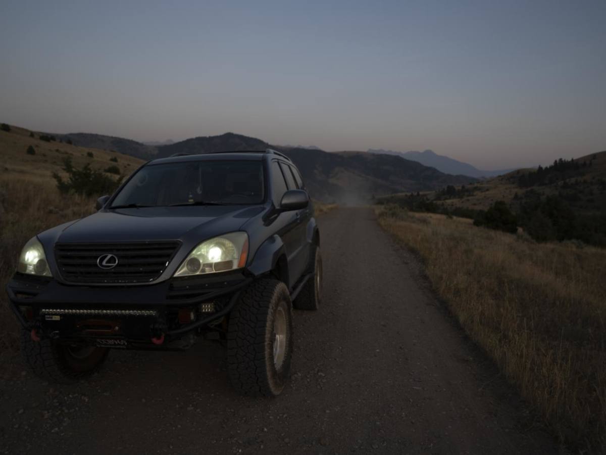
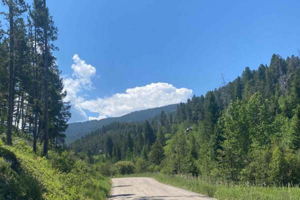
Pine Creek (West Pine Creek Road 978) offers a scenic and straightforward drive that is perfect for beginner offroaders, campers, and anyone looking for a quick escape into the mountains. Stretching approximately 4.6 miles, this route climbs from an elevation of 5,170 feet up to 6,335 feet, gaining about 1,200 feet along the way. The trail features a primarily dirt surface with occasional light gravel, and although the route is highly accessible, a high-clearance vehicle or standard four-wheel-drive is recommended to comfortably handle minor ruts and a small, shallow water crossing.
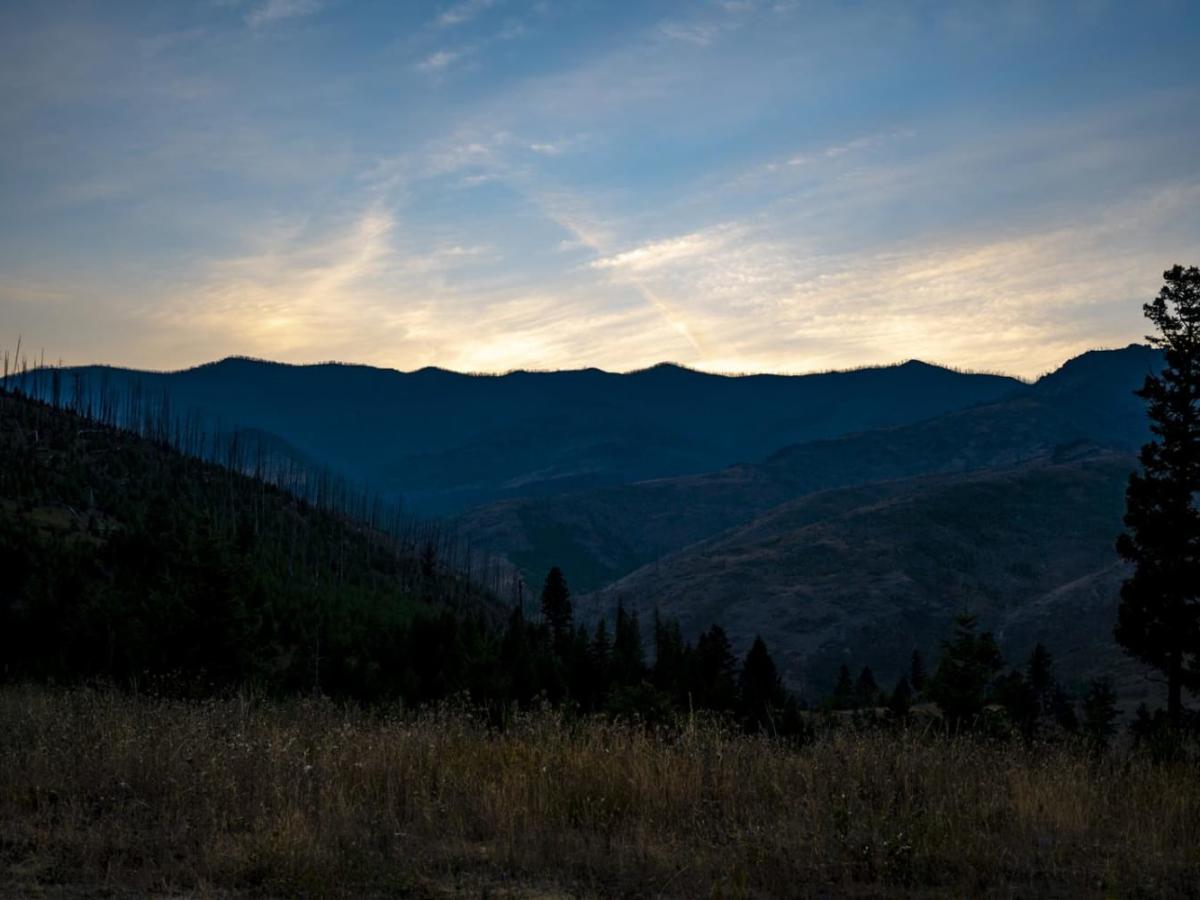
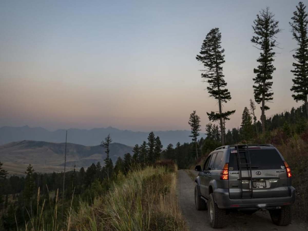
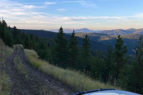
Winding through the picturesque Custer Gallatin National Forest just off Trail Creek Road, the route terminates in a series of switchbacks that lead to beautiful dispersed campsites and stunning sunset views over the valley. Because the trail is rated a 2 out of 10, it is highly suitable for stock sport utility vehicles, trucks, and SxSs looking for a relaxing escape. Travelers should plan for seasonal changes, as snow and mud can significantly alter trail conditions during late autumn and spring, though it remains a local favorite for a quick overnight camp or a scenic evening drive.
Access Description
The route is located within the Custer Gallatin National Forest. No permit is required for standard vehicle access, but visitors should check local seasonal motorized use closures which typically apply during winter and early spring. Dispersed camping is permitted along the route; please practice Leave No Trace principles and pack out all trash.