Trail Overview
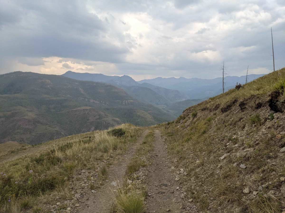
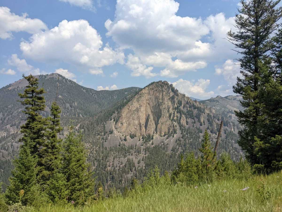
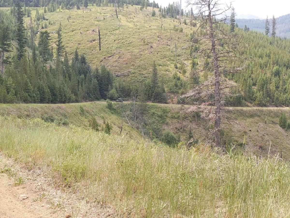
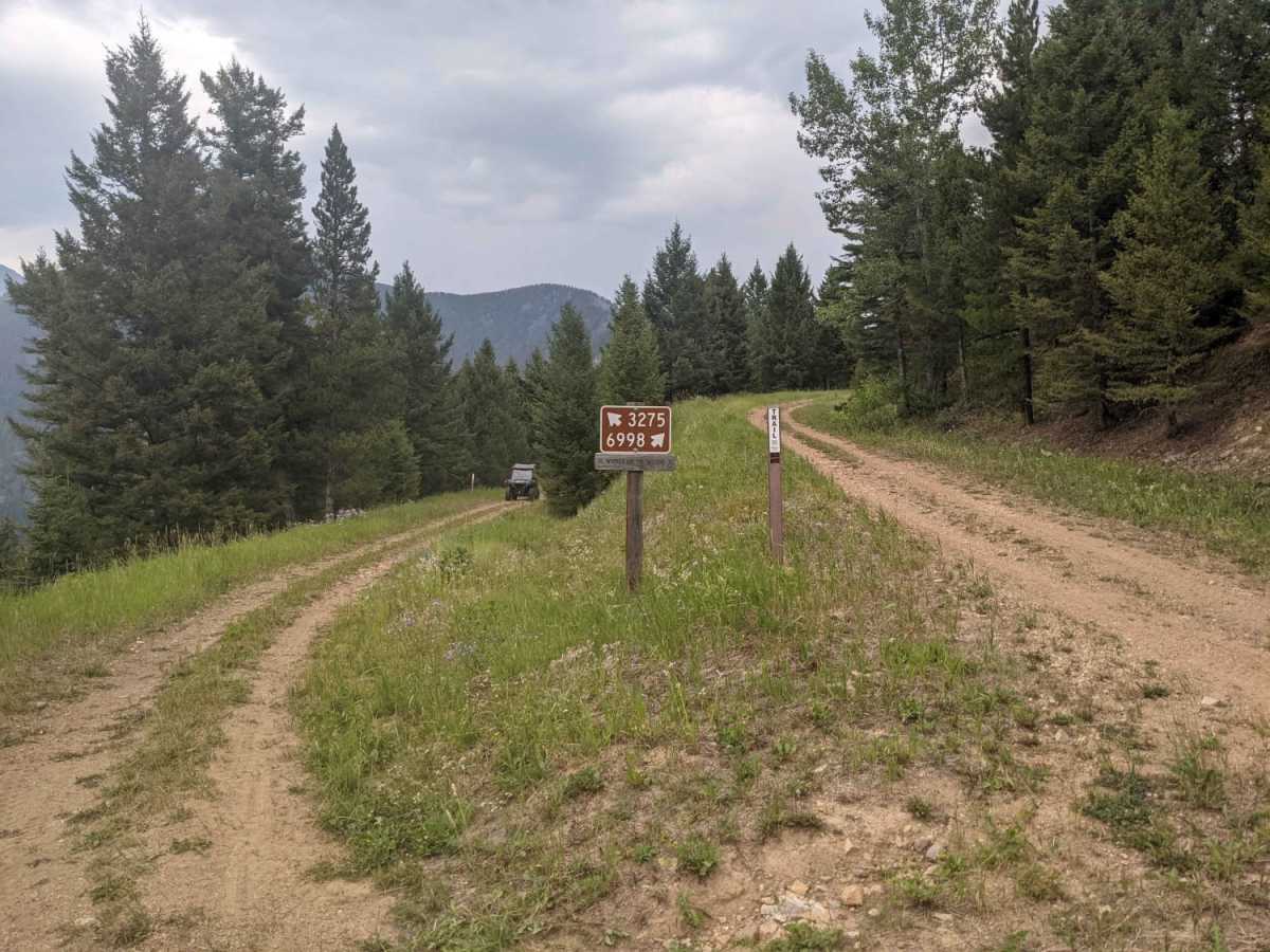
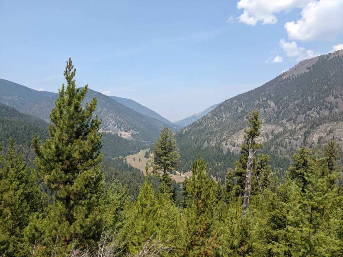
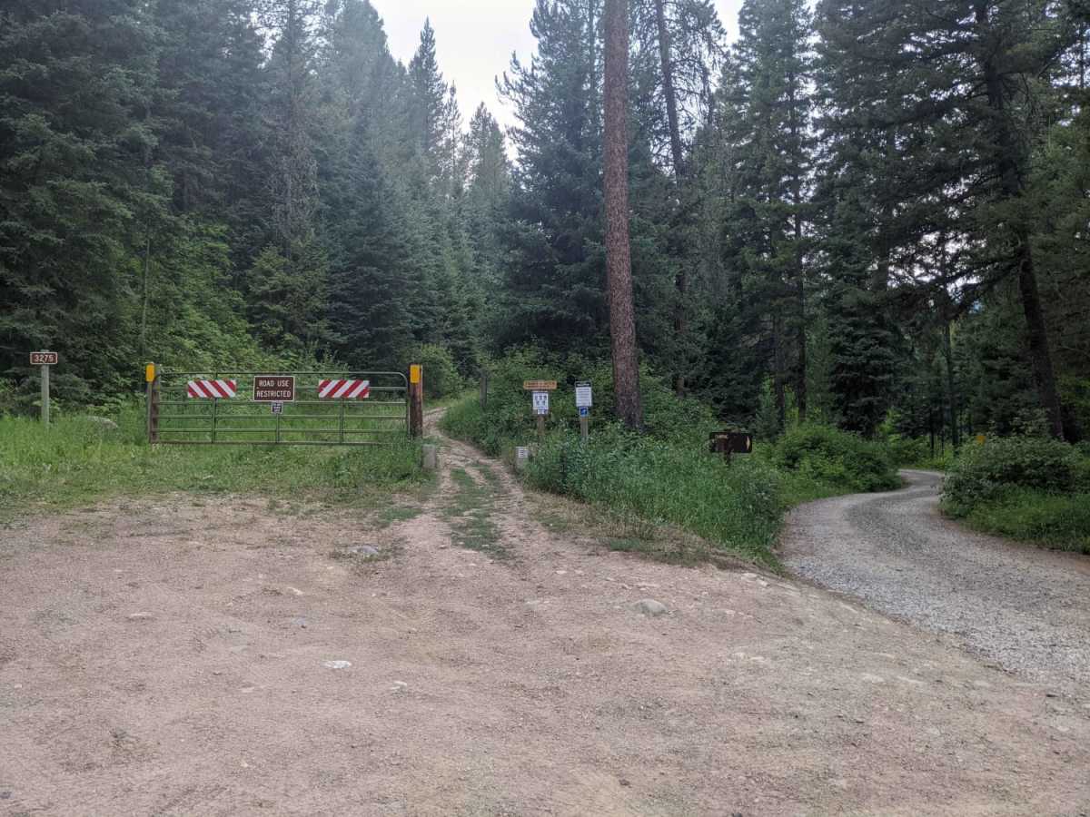
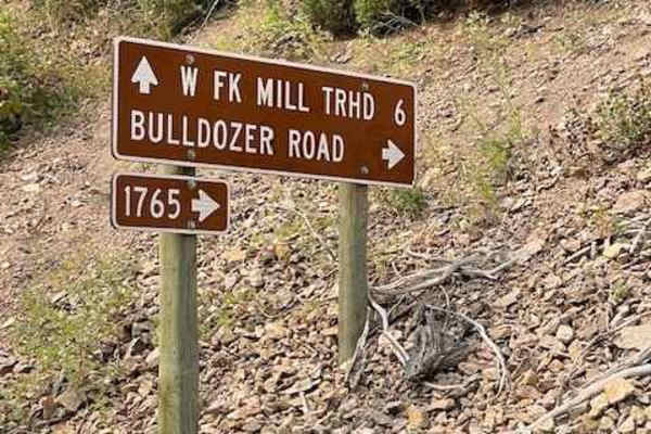
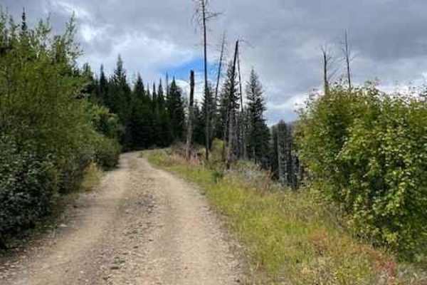
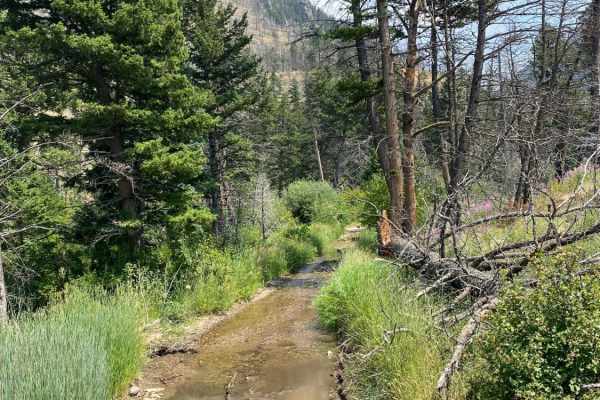
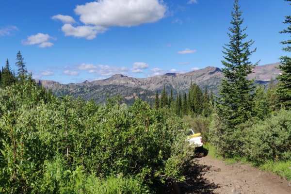
Open Dates: 7/16-9/14. Wicked Creek Loop is in the Absaroka Range and part of the Custer Gallatin National Forest on the Eastern side of the Paradise Valley, South of Livingston, Montana. Beginning at Mill Creek Road near the entrance to Snowbank Campground, after 1.9 miles there is a fork. Wicked Creek Loop can be traveled in either direction, both returning to this fork. The trail is mostly smooth and even. There are some narrow sections with tight turns and steep drop-offs along with some short areas of difficult loose terrain, including some stray small logs near these steep drop-offs, so this may not be ideal for new motorcycle riders. Overall, this is an easy leisurely loop. There is history of logging and wildfire in the area. The reward is wonderful views of the valley and peaks to the South. Cellular service is mostly non-existent here, spotty at best in areas, so plan ahead with offline maps before your trip.
Difficulty
There are some narrow sections with tight turns, steep drop-offs along with some short areas of difficult loose terrain including some stray small logs near these steep drop-offs so this may not be ideal for new motorcycle riders.
History
There is evidence of logging and wildfires in the area.