
Dirt Bike Trails
Near Groveport, Ohio
Explore All Dirt Bike Trails Near Groveport, Ohio
Dirt Bike Trails Near Groveport, Ohio
Discover the best dirt bike trails near you. Browse trail maps, check difficulty ratings, and find your next adventure — whether you're looking for a quick ride or an all-day expedition.
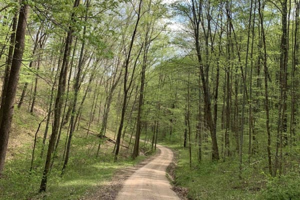
Park Road 39
This route is for anyone that wants to rip a rally-like road, and experience the great scenery and wildlife Ohio can offer! This gravel route is very loose and has a few washouts. It also has two hairpin turns that may require some two-point turns for big or full-sized rigs. This trail is accessible...
Learn more about Park Road 39
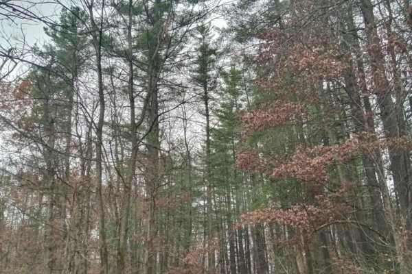
Iron Point
This trail offers many challenges. All though you can skip past the hard parts. As most of this is an easy gravel road there are a few small turn-off paths that will take you down some old service roads in Wayne National Forest. That's where the hard parts are they are narrow. Full of soft slick mud...
Learn more about Iron Point
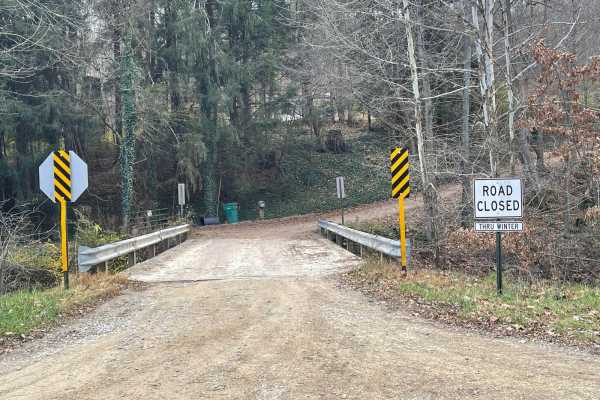
Valley and Cows
Valley and Cows is an 11.2-mile scenic route through a dense Ohio valley, ideal for stock high-clearance 4WD vehicles and adventure riders. The route traverses winding, unpaved gravel roads with elevation shifting between 872 and 1,171 feet, accumulating roughly 1,075 feet of elevation gain.
With a...
Learn more about Valley and Cows
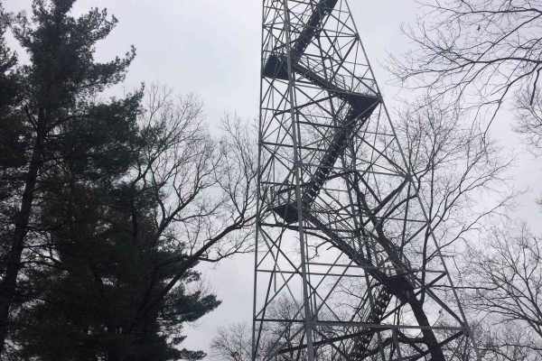
James Road
You'll find a couple of small water crossings on this easy trail. It will be slippery when wet or snowy. It's right off of a gravel road and takes you to some very nice ponds. It does have couple of steep hills with ruts and is narrow. Full-size vehicles will fit but you may get some scratches.
Learn more about James Road
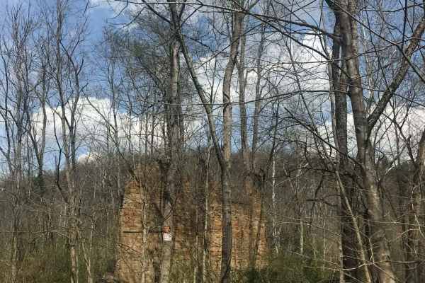
Rock Run
Rock Run is a shortcut gravel road that will take you off the pavement and down some old back road that will take you longer to get where you are going, but worth the views you will see. When you turn on Rock Run, you'll continue straight into a section of Wayne National Forest with a piece of hist...
Learn more about Rock Run
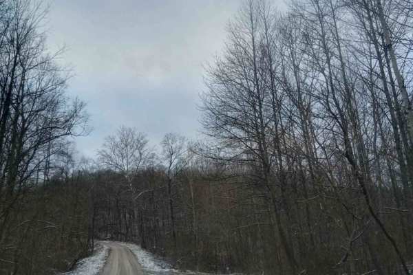
Tunnel Hill
If you are looking for a quick adventure down a country road, this is one of many in the area. This route will take you out and through the woods, where you will see wildlife everywhere. There will be many sharp curves and steep hills even though it is an easy route, it does get slick in bad weather...
Learn more about Tunnel Hill
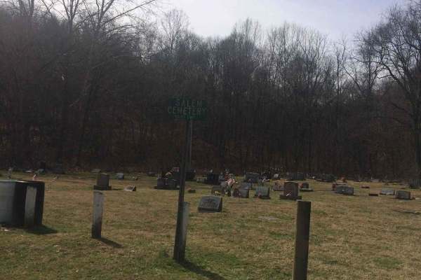
Salem
If you're into driving down some old back roads and running the outskirts of Wayne National Forest this trail has a lot to offer you. Even though it's an easy trail you will find yourself driving through gravel roads with all kinds of unique rock formations and some of the most beautiful trees. At s...
Learn more about Salem
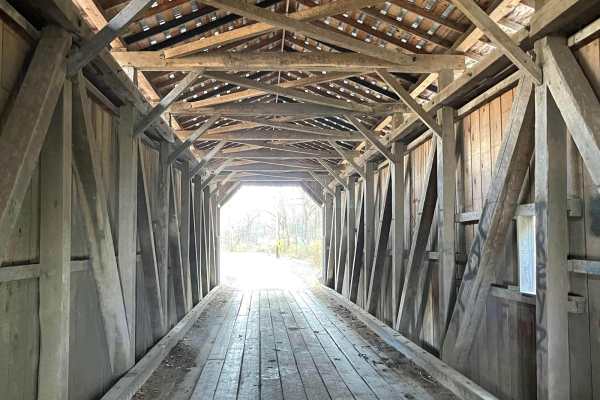
Amish Lumber Mills
These are some great winding country back roads going through Amish Country seeing several Amish lumber mills and roadside markets to purchase Amish produce and craft. With beautiful changes in elevation, some of these roads can get narrow and technical. Many places to pull over and have other traff...
Learn more about Amish Lumber Mills
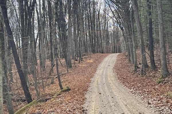
Jug Run to Girl Scout Camp
This is a rural country backroad track that becomes a narrow hill climb and can be severely washed out after even a mild rain. There are multiple creek crossings without bridges up to 2 feet deep. Find a beautiful covered bridge with pull-offs and fishing on either side. If traveling south to north ...
Learn more about Jug Run to Girl Scout Camp
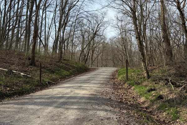
South Ridge Road
In Scioto Trail State Park, South Ridge Road snakes its way along the high south ridge of the park. The road is gravel and generally single-lane. There are multiple sidings and turnouts to let vehicles pass or just stop and enjoy the scenery. The road is not maintained in the winter months. The road...
Learn more about South Ridge Road
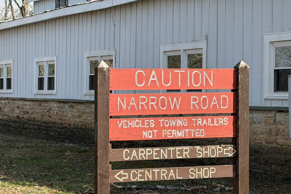
North Ridge Road
Scioto Trail State Park North Ridge Road is a single-lane gravel road that takes the high north ridge through the park. There are several sidings and pull-offs to let other traffic by. This road offers incredible views of the southern Ohio hills. There are several turnouts that offer a nice place to...
Learn more about North Ridge Road
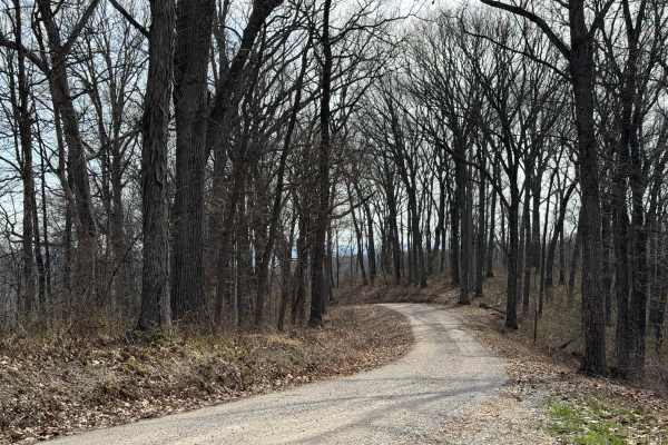
ODNR #4
ODNR #4 Road is a high ridge road that goes through the southernmost portion of Scioto Trail State Forest. The road provides exceptional views of the surrounding hills. There are some road is gravel and generally single lane width. There are a few blind switchbacks, and the road can be muddy and sli...
Learn more about ODNR #4
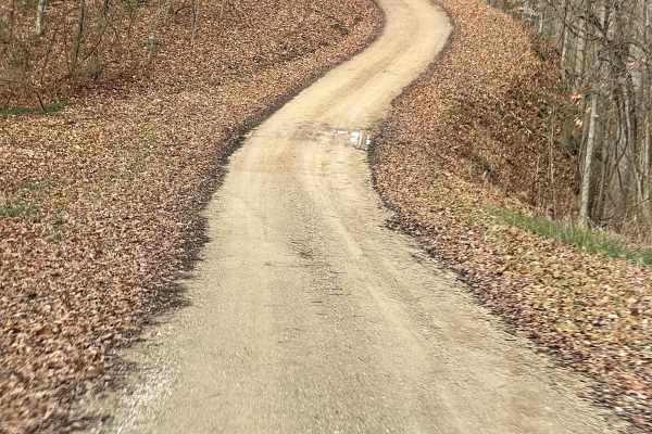
Vinton County Tunnels Tour Part 1
Vinton County Tunnels Tour Part 1 is an easy, scenic 15.3-mile off-road route through the historic Appalachian foothills of southeastern Ohio. Beginning at the Lake Hope State Park Lodge, this counterclockwise journey winds south through Vinton County's dense woodlands on primarily unpaved and grave...
Learn more about Vinton County Tunnels Tour Part 1
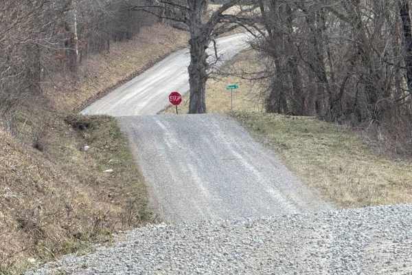
Plecher Road to Pyramid House
Pelcher Road along Spring Run is very scenic with multiple hills and beautiful vistas with a surprise building at the end. Class 1 roadway may be very slippery during rains and should use caution on blind corners and be aware of wildlife and livestock. You may encounter Amish buggies on this route a...
Learn more about Plecher Road to Pyramid House
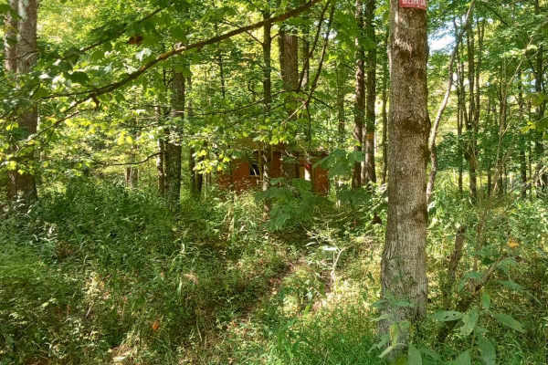
Cedar Run
Head back in time as you travel through the abandoned town of San Toy. You will start by driving down a gravel road that will take you past old foundations to buildings that once stood there during coal mining times. After traveling down the gravel road, you will come across a covered bridge. You'll...
Learn more about Cedar Run
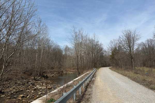
Turkey Run Road
Turkey Run Road is a leisurely gravel road that provides beautiful views of Pee Pee Creek and the Hawe Fork of Pee Pee Creek. (Yes, that is the actual name of the creek.) The road turns and puts you into mature forest along Turkey Run. The road is generally single-lane wide. Excellent route for gett...
Learn more about Turkey Run Road
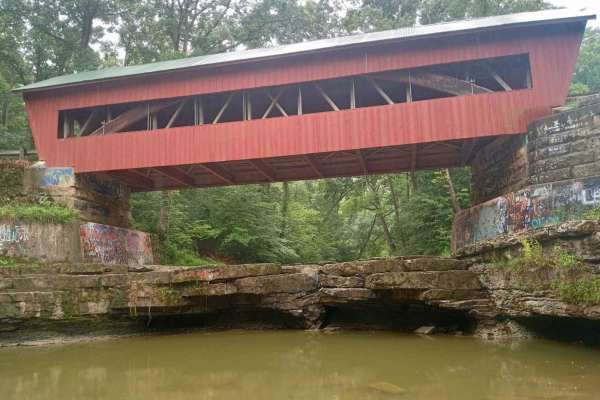
Helmick Mill Covered Bridge
Expect to go through one of the most scenic roads in Perry County. This trail is all gravel but very slick steep hills with sharp turns. Once you enter the trail you go down into a nice little creek crossing that flows when the water is higher. After that, you will continue down until you hit a fork...
Learn more about Helmick Mill Covered Bridge
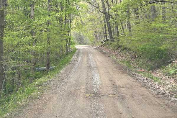
Batnest Loop
This is the eastern loop of Batnest Road back to Main Road 715. The nice twisty well-graded gravel road gets fairly steep in places. Hunting and fishing in the area with proper licensing, known for foraging of ginseng and mushrooms. Part of the Batnest and Stone Quarry Loop near Walhonding, Ohio, an...
Learn more about Batnest Loop
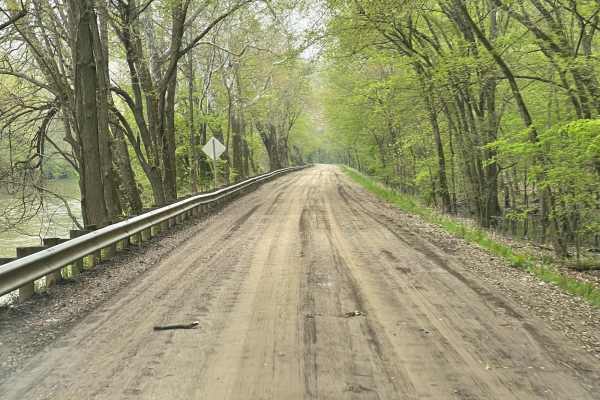
Walhonding Hills Steel Bridge to 715 Batnest Loop
This is a high-speed, secondary gravel road running along the Kokosing River. Expect to encounter significant changes in elevation, and some blind turns on the cliff edge. This area is public hunting so foraging for ginseng and mushrooms are allowed with proper permits. Use caution in the fall, bein...
Learn more about Walhonding Hills Steel Bridge to 715 Batnest Loop
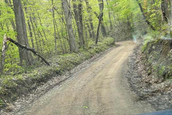
Walhonding Hills Steel Bridge to Bridge of Dreams
This trail is a tertiary gravel road that winds through the Amish Community with significant changes in elevation and sharp terms. Be aware of oncoming vehicle horse and foot traffic in the area as it is heavily Amish residential. Some of the sections at the end of this road get very steep with blin...
Learn more about Walhonding Hills Steel Bridge to Bridge of Dreams
ATV trails near Groveport, Ohio
Explore ATV-friendly trails near you. These trails are accessible for vehicles up to 50 inches wide, perfect for ATVs and smaller off-road machines.
Iron Point
This trail offers many challenges. All though you can skip past the hard parts. As most of this is an easy gravel road there are a few small turn-off paths that will take you down some old service roads in Wayne National Forest. That's where the hard parts are they are narrow. Full of soft slick mud...
Learn more about Iron Point
James Road
You'll find a couple of small water crossings on this easy trail. It will be slippery when wet or snowy. It's right off of a gravel road and takes you to some very nice ponds. It does have couple of steep hills with ruts and is narrow. Full-size vehicles will fit but you may get some scratches.
Learn more about James Road
Rock Run
Rock Run is a shortcut gravel road that will take you off the pavement and down some old back road that will take you longer to get where you are going, but worth the views you will see. When you turn on Rock Run, you'll continue straight into a section of Wayne National Forest with a piece of hist...
Learn more about Rock Run
Tunnel Hill
If you are looking for a quick adventure down a country road, this is one of many in the area. This route will take you out and through the woods, where you will see wildlife everywhere. There will be many sharp curves and steep hills even though it is an easy route, it does get slick in bad weather...
Learn more about Tunnel Hill
UTV/side-by-side trails near Groveport, Ohio
Find UTV and side-by-side trails near you. These trails accommodate vehicles up to 60 inches wide, ideal for UTVs, side-by-sides, and wider off-road rigs.
Park Road 39
This route is for anyone that wants to rip a rally-like road, and experience the great scenery and wildlife Ohio can offer! This gravel route is very loose and has a few washouts. It also has two hairpin turns that may require some two-point turns for big or full-sized rigs. This trail is accessible...
Learn more about Park Road 39
Iron Point
This trail offers many challenges. All though you can skip past the hard parts. As most of this is an easy gravel road there are a few small turn-off paths that will take you down some old service roads in Wayne National Forest. That's where the hard parts are they are narrow. Full of soft slick mud...
Learn more about Iron Point
James Road
You'll find a couple of small water crossings on this easy trail. It will be slippery when wet or snowy. It's right off of a gravel road and takes you to some very nice ponds. It does have couple of steep hills with ruts and is narrow. Full-size vehicles will fit but you may get some scratches.
Learn more about James Road
Rock Run
Rock Run is a shortcut gravel road that will take you off the pavement and down some old back road that will take you longer to get where you are going, but worth the views you will see. When you turn on Rock Run, you'll continue straight into a section of Wayne National Forest with a piece of hist...
Learn more about Rock Run
The onX Offroad Difference
onX Offroad combines trail photos, descriptions, difficulty ratings, width restrictions, seasonality, and more in a user-friendly interface. Available on all devices, with offline access and full compatibility with CarPlay and Android Auto. Discover what you're missing today!
Open Trail Map