
Dirt Bike Trails
Near Grand Rapids, Minnesota
Explore All Dirt Bike Trails Near Grand Rapids, Minnesota
Dirt Bike Trails Near Grand Rapids, Minnesota
Discover the best dirt bike trails near you. Browse trail maps, check difficulty ratings, and find your next adventure — whether you're looking for a quick ride or an all-day expedition.
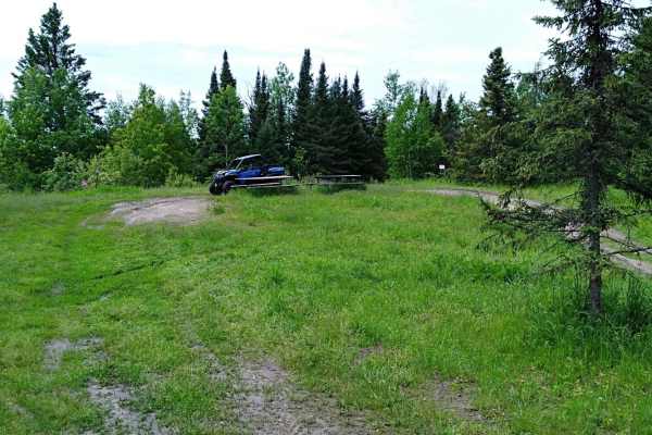
UPM Blandin Trail N
UPM Blandin Trail North area starts from the picnic area overlooking Cook Lake to the parking lot on Shingle Mill Road and Sugar Lake Trail. This section is 9.8 miles long with a travel time of about an hour at an average speed of 11.0 MPH. The trail is easy to follow with changes in scenery from li...
Learn more about UPM Blandin Trail N
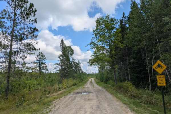
Willow River
This trail begins as a narrow two-track made up of gravel and sand, with some sections holding water depending on recent conditions. It winds through forested terrain, featuring a mix of ascents and descents, providing a steady yet manageable drive. Evidence of past logging activity is visible along...
Learn more about Willow River
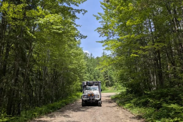
2143
This trail, also known as the 49, is one of the primary routes through the area, providing access to several lake communities as well as the Marcell Experimental Forest and the Spruce research sites. While the trail is generally wide and well maintained, it sees frequent use and has developed signif...
Learn more about 2143
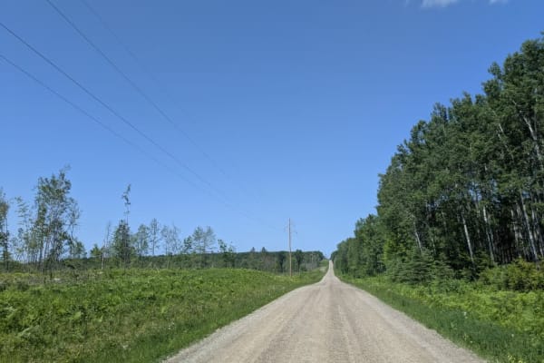
Country Road 158
This trail is fairly wide and in decent condition, though the surface is sandy and can get quite dusty. It winds through forested terrain and includes some uneven stretches that could become difficult to navigate when wet. Along the route, there is access to Pine Lodge as well as a bridge crossing a...
Learn more about Country Road 158
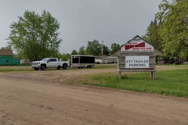
Hill City to Washburn Lake
Hill City to Washburn Lake on the Rabey Line converted rail is a section that is 7.1 miles long and takes about 30 minutes with an average speed of 12.6 MPH. This is an easy section of trail that was mapped from Sunny's gas station in Hill City. A short section of trail uses the State Highway 200 br...
Learn more about Hill City to Washburn Lake
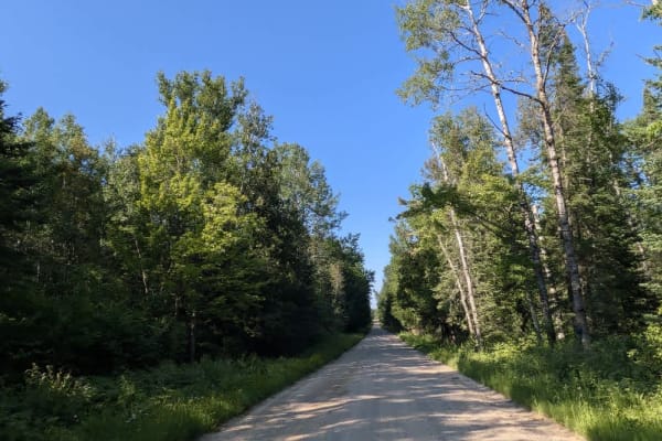
2112
This trail follows a mostly wide and well-maintained gravel route that winds through a landscape of mixed fields and predominantly forested areas. Along the way, a few smaller trails branch off from the main path, and there are occasional residences scattered throughout the route. As the trail appro...
Learn more about 2112
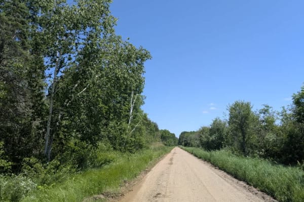
139
This trail stands out in the region for both its natural beauty and its geographical importance, as it marks the point where the Leech Lake River flows into the Mississippi River. The trail is composed of three distinct sections, each offering a different experience. The first section is a wide, wel...
Learn more about 139
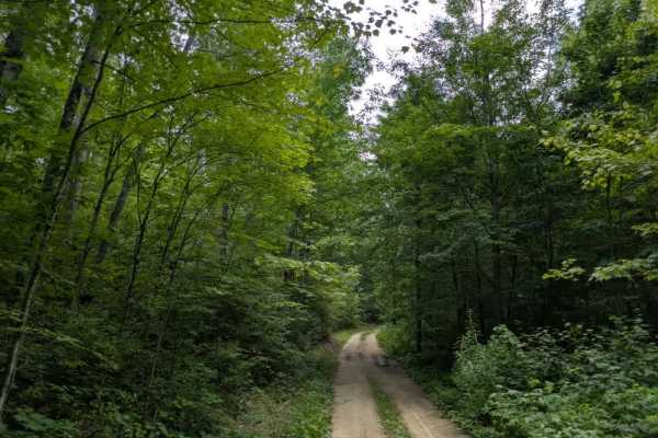
3705
This trail offers a little bit of everything in terms of off-road conditions. It is narrow and generally suited for single-vehicle travel, with no regular maintenance. The surface alternates between sandy stretches and muddy sections, with ruts forming in some areas. Water erosion is visible along t...
Learn more about 3705
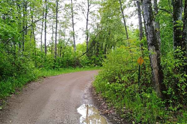
UPM Blandin Trail South
UPM Blandin Trail South area starts from the Rabey Line and runs northwest 11.1 miles to the picnic area overlooking Cook Lake. The travel time is about an hour with an average speed of 9.6 MPH. The trail is easy to follow with changes in scenery from lightly wooded to open areas and wetlands. From ...
Learn more about UPM Blandin Trail South
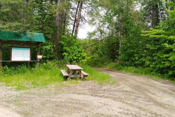
Rabey Line
Rabey Line converted rail grade, this section is 12.1 miles long and takes about an hour and 15 minutes with an average speed of 10.1 MPH including time to take trail pictures. This is an easy section of trail starting from the Washburn Lake area where the old rail grade is no longer used at the int...
Learn more about Rabey Line
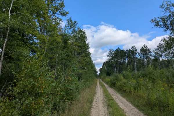
2743
This trail follows a narrow, two-track path composed of gravel and sand. It is often dusty, although some stretches remain wet, depending on recent weather conditions. The route winds through forested terrain with steady ascents and descents, and large ruts are present along portions of the track, r...
Learn more about 2743
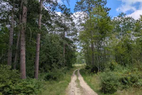
Loon Lake Road
The northern side of Loon Lake Trail is quite different in character from the southern section and is generally considered a moderate route, rated around a two or three in difficulty. The surface is made up mostly of sand, which becomes thick and soft in several places, with only small amounts of gr...
Learn more about Loon Lake Road
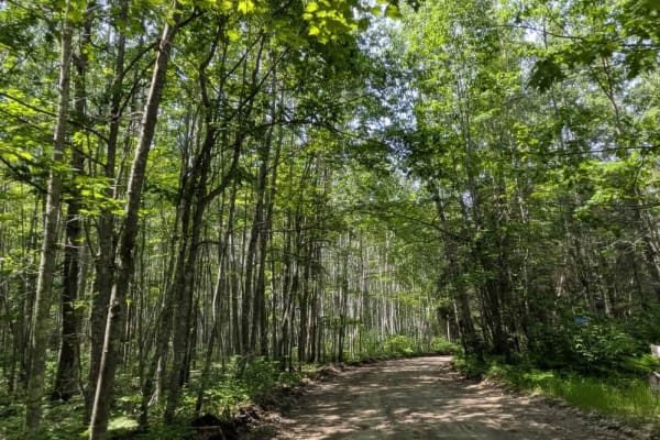
3853
This trail is wide and relatively well-maintained as it winds through the forest and leads into the Marcell Experimental Forest area, where you may encounter Forest Service vehicles. The surface can become slippery after rain, and several smaller trails branch off into the woods along the way. Signs...
Learn more about 3853
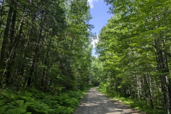
2373
This trail begins as a wide and well-maintained gravel road, making for an easy start, but conditions become more demanding as you progress. The path narrows and features several muddy sections, some of which are deeper and softer than they appear, so drivers should proceed with care. Further along,...
Learn more about 2373
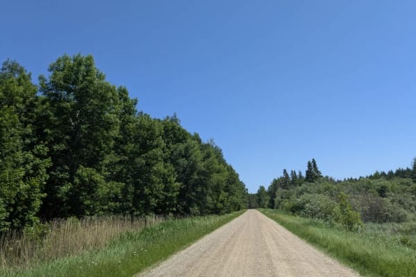
143
This trail is a wide, mostly straight gravel route that remains generally well-maintained as it travels through scenic forest and past several residential properties. Some gentle curves break up the otherwise direct path, and the surface is occasionally marked by light corrugation, likely due to reg...
Learn more about 143
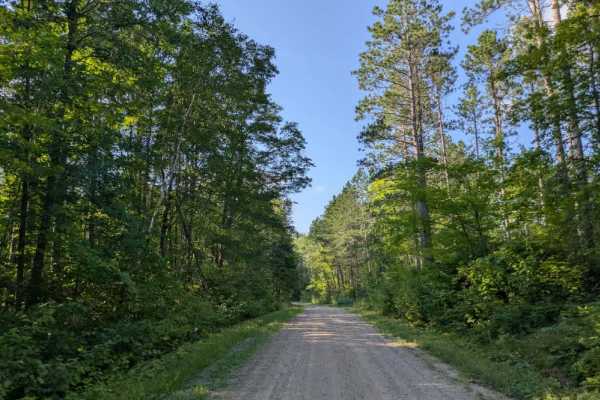
2321
This trail begins near the town of Remer, which is notable for having a well-regarded butchery, and stretches for a considerable distance through a mix of wooded terrain. The road itself is wide and well-maintained in many sections, easily accommodating two vehicles, though it narrows to single-vehi...
Learn more about 2321
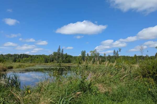
2113
This trail quickly shifts into a rougher, unmaintained route. It is primarily gravel but includes stretches of sand and mud as it winds through dense forest. The trail alternates between narrow single-vehicle sections and slightly wider areas that can accommodate two vehicles at a time. Elevation ch...
Learn more about 2113
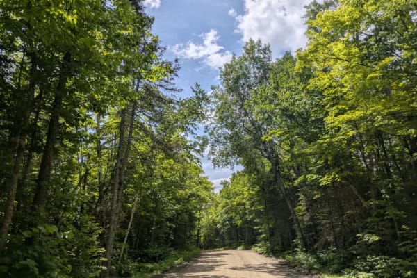
2147
This trail offers a scenic drive through dense forest along a winding route composed mostly of smooth, well-maintained gravel. While the surface is generally in good condition and suitable for most vehicles, drivers should remain attentive due to the presence of local traffic. The trail leads to a d...
Learn more about 2147
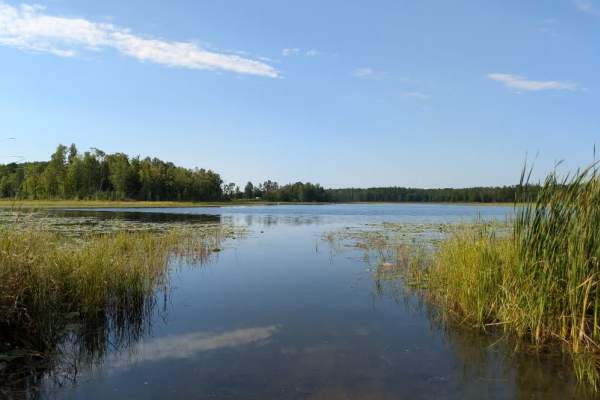
FS 30476
This trail begins at a public water access point located near a paved road and immediately climbs uphill on a wide, well-maintained gravel surface. From there, it passes by a few attractive residences before descending again and eventually reaching the lake. There is also a walking trail along this ...
Learn more about FS 30476
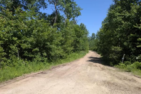
2127
This trail begins just off Highway 2 and crosses over a set of railway tracks before entering dense forest. From the start, the trail is clearly unmaintained, with a muddy and uneven surface that makes for a slow and cautious drive. Along the way, several fallen trees were encountered, including one...
Learn more about 2127
ATV trails near Grand Rapids, Minnesota
Explore ATV-friendly trails near you. These trails are accessible for vehicles up to 50 inches wide, perfect for ATVs and smaller off-road machines.
UPM Blandin Trail N
UPM Blandin Trail North area starts from the picnic area overlooking Cook Lake to the parking lot on Shingle Mill Road and Sugar Lake Trail. This section is 9.8 miles long with a travel time of about an hour at an average speed of 11.0 MPH. The trail is easy to follow with changes in scenery from li...
Learn more about UPM Blandin Trail N
Willow River
This trail begins as a narrow two-track made up of gravel and sand, with some sections holding water depending on recent conditions. It winds through forested terrain, featuring a mix of ascents and descents, providing a steady yet manageable drive. Evidence of past logging activity is visible along...
Learn more about Willow River
2143
This trail, also known as the 49, is one of the primary routes through the area, providing access to several lake communities as well as the Marcell Experimental Forest and the Spruce research sites. While the trail is generally wide and well maintained, it sees frequent use and has developed signif...
Learn more about 2143
Country Road 158
This trail is fairly wide and in decent condition, though the surface is sandy and can get quite dusty. It winds through forested terrain and includes some uneven stretches that could become difficult to navigate when wet. Along the route, there is access to Pine Lodge as well as a bridge crossing a...
Learn more about Country Road 158
UTV/side-by-side trails near Grand Rapids, Minnesota
Find UTV and side-by-side trails near you. These trails accommodate vehicles up to 60 inches wide, ideal for UTVs, side-by-sides, and wider off-road rigs.
UPM Blandin Trail N
UPM Blandin Trail North area starts from the picnic area overlooking Cook Lake to the parking lot on Shingle Mill Road and Sugar Lake Trail. This section is 9.8 miles long with a travel time of about an hour at an average speed of 11.0 MPH. The trail is easy to follow with changes in scenery from li...
Learn more about UPM Blandin Trail N
Willow River
This trail begins as a narrow two-track made up of gravel and sand, with some sections holding water depending on recent conditions. It winds through forested terrain, featuring a mix of ascents and descents, providing a steady yet manageable drive. Evidence of past logging activity is visible along...
Learn more about Willow River
2143
This trail, also known as the 49, is one of the primary routes through the area, providing access to several lake communities as well as the Marcell Experimental Forest and the Spruce research sites. While the trail is generally wide and well maintained, it sees frequent use and has developed signif...
Learn more about 2143
Country Road 158
This trail is fairly wide and in decent condition, though the surface is sandy and can get quite dusty. It winds through forested terrain and includes some uneven stretches that could become difficult to navigate when wet. Along the route, there is access to Pine Lodge as well as a bridge crossing a...
Learn more about Country Road 158
The onX Offroad Difference
onX Offroad combines trail photos, descriptions, difficulty ratings, width restrictions, seasonality, and more in a user-friendly interface. Available on all devices, with offline access and full compatibility with CarPlay and Android Auto. Discover what you're missing today!
Open Trail Map