
Dirt Bike Trails
Near Gooding, Idaho
Explore All Dirt Bike Trails Near Gooding, Idaho
Dirt Bike Trails Near Gooding, Idaho
Discover the best dirt bike trails near you. Browse trail maps, check difficulty ratings, and find your next adventure — whether you're looking for a quick ride or an all-day expedition.
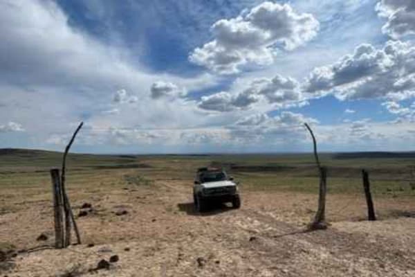
Dead Horse and Tea Kettle Caves with Connector
This short route takes you through south-central Idaho's interesting and diverse lava flow region. This trail can be done both directions, but the easier sections begin closer to Gooding and the Tea Kettle and Dead Horse caves. This section brings you directly to the locally famous Tea Kettle and De...
Learn more about Dead Horse and Tea Kettle Caves with Connector
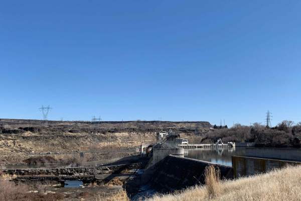
Sturgeon Run
Enjoy a relatively easy and short drive! Wind your way up the Snake River to Lower Salmon Falls Dam. Plenty of spots to take in views, great spots to park and fish or simply enjoy the river. Mostly used for sportsman's access such as fishing and hunting, so please be on the lookout for other vehicle...
Learn more about Sturgeon Run
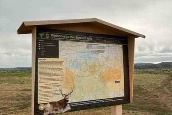
Little City of Rocks Access
This short route takes you through south-central Idaho's interesting and diverse lava flow region. When you begin to near the City of Rocks formations and canyons the trail becomes rugged, rocky, and rutted leading to the difficulty rating. This trail can be linked to many others in the area. There ...
Learn more about Little City of Rocks Access
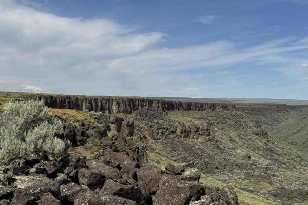
Canyon View Corkscrew
Take a short adventurous trip along the edge of a plateau, leading you to an incredible, nearly hidden canyon. The longer you drive, the more amazing the views become. Pack some food and a couple of chairs and take in the amazing views of the canyon and the high desert down below. Several short spur...
Learn more about Canyon View Corkscrew
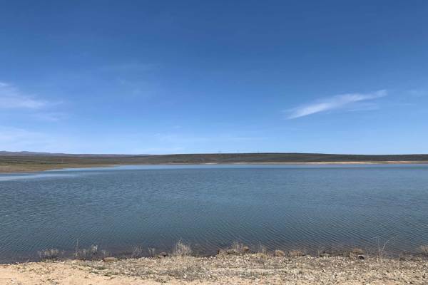
Bliss High Country Scenic Track
Explore the high desert north of Bliss! From the unmaintained dirt roads to Bray Lake to all the canyons, draws, and gullies, there is no shortage of terrain changes and obstacles. Expect dirt roads, deep ruts, lots of loose rock, washouts, moderate depth creek crossings, dust, and spots of mud. Oth...
Learn more about Bliss High Country Scenic Track
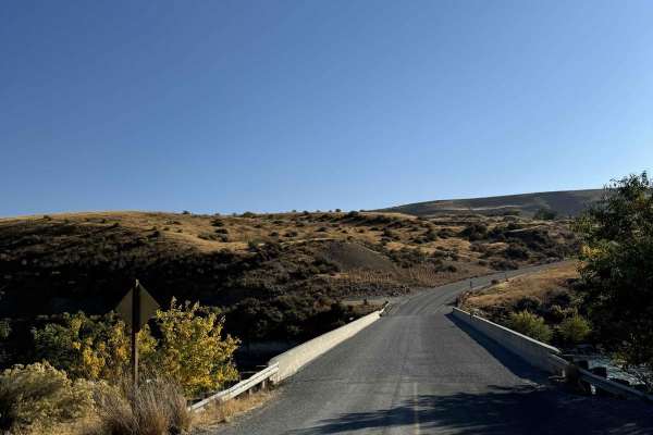
Snake Eyes
Looking for an easy weekend drive? An easy road to see the Snake River from? Or even just a different way of getting from Glenn's Ferry to Bliss? Then this is your route, very well graded, with lots of beautiful farmland, rolling desert hills, and gorgeous vistas of the Snake River Canyon around eve...
Learn more about Snake Eyes
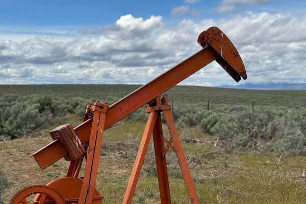
Pumpjack Plateau
Venture out on one of the many plateaus overlooking the Snake River Plain, stop by the original Pumpjack used for pumping water for livestock, or venture out onto any corner of the plateau and take in the beautiful views of the farmland and Clover Creek down in the valleys below. Many more offshoots...
Learn more about Pumpjack Plateau
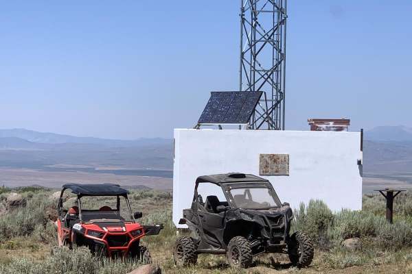
Davis Mtn. Loop
Leaving from Bliss, ID, head north on Hill City Road. Turn onto Davis Mountain Road. There are many roads and trails to explore from this location. It is very easy driving with plenty of wildlife to see. Be on the lookout for grazing cattle, as it is very popular for grazing. From Davis Mountain you...
Learn more about Davis Mtn. Loop
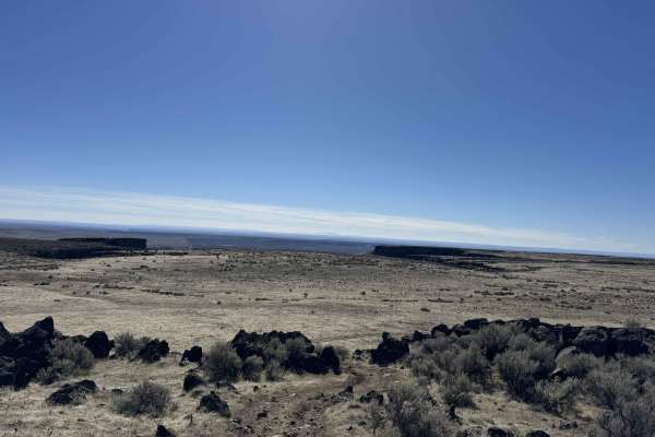
Squeeze Chute Crawl
Enjoy a slow, crawling, winding route along the west canyon rim overlooking the desert floor. Plateaus and hills decorate the desolate landscape below and all around. While not a technical trail, it is very rough with protruding and loose rocks, deep ruts, and a narrow slot to pass through. Lots of ...
Learn more about Squeeze Chute Crawl
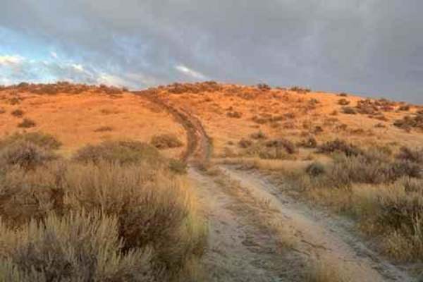
Blue Heart Overlook and Access
This route is meant to give you access to overlooks of the Snake River, and closer access to Idaho's famous Blue Heart Springs. The majority of the trail and surrounding trails are dust, rutted, and double track. Easily accessible for any 4x4 vehicle or anything smaller. Most are very easy, but give...
Learn more about Blue Heart Overlook and Access
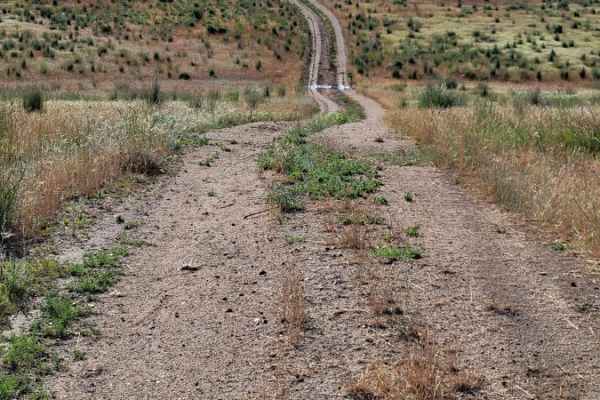
Power Line Access
Power Line Access is a 1.2-mile out-and-back trail branching off Dempsey Meadow Road in Idaho's Bennett Hills. Primarily serving as a utility access route, this short dirt path winds through high-desert terrain, offering views of Dempsey Meadow and the surrounding valley.
The trail features an unev...
Learn more about Power Line Access
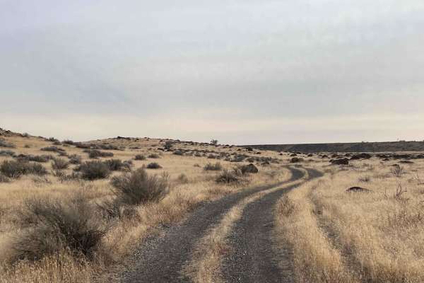
Petrified Watermelons
Petrified Watermelons is an easy 1.7-mile out-and-back trail ideal for beginners, families, and offroaders looking for a scenic drive to witness Idaho's unique geological history. Suited for most stock four-wheel-drive vehicles, SxSs, and dirt bikes, this gravel and dirt route features a technical r...
Learn more about Petrified Watermelons
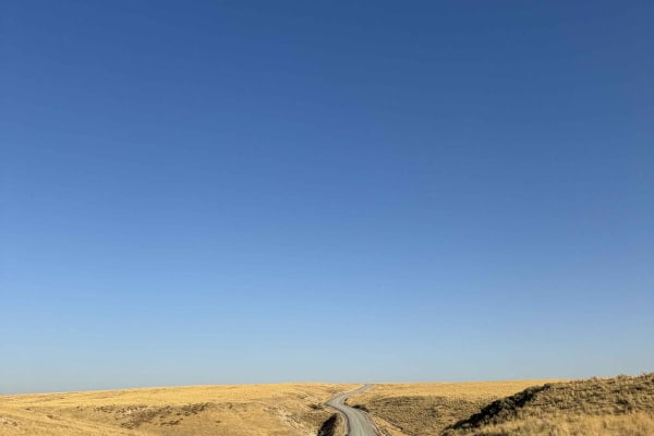
Jackalope Flats
Enjoy a fun, easy remote drive on Bell Rapids Plateau. This is the primary East-West road in the area that ties Glenn's Ferry to the Bliss area. The trail is always well maintained, well traveled, and a beautiful drive for summer evenings. While it might appear like a normal desert road, it does cro...
Learn more about Jackalope Flats
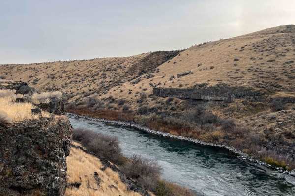
Snake River Grassy Trail
This rocky out and back passes under the train bridge and parallels the tracks with amazingly deep potholes. If you are lucky, a train will pass by and blow the horn for you! Once closer to the Snake river, the going gets slow, with large boulders hiding in the tall grasses. The trail's end has a ni...
Learn more about Snake River Grassy Trail
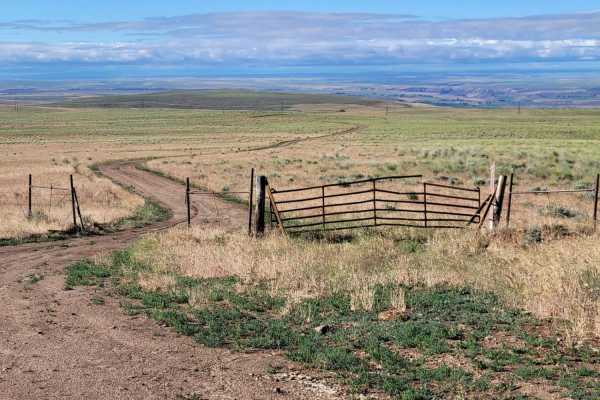
Dempsey Meadow
This route begins as a very easy dirt road that offers sweeping views of the surrounding valley and meadows. There are a few mud ruts to watch out for but aside from that, it's easy-going and leisurely. About seven miles in, at the fence line, once you start getting to the rocky hillside the trail b...
Learn more about Dempsey Meadow
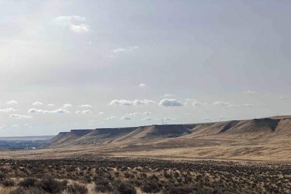
Sugar Bowl
This fun little trail heads from old highway 30 up into the hills to a killer pair of hilltops. The trail ends at a fantastic camping spot with good LTE cell service and panoramic views of the Snake River, the valley below, and the sugar Bowl plateau directly to the south. The other side of the hill...
Learn more about Sugar Bowl
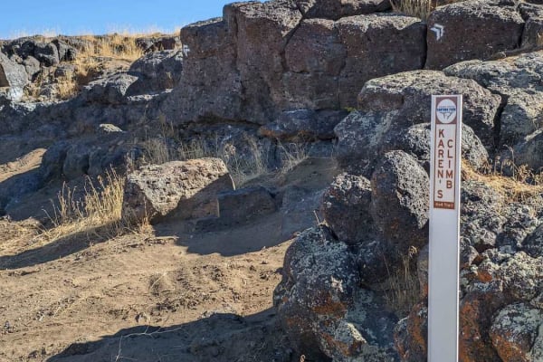
Rough and Tumble
Rough and Tumble is a rock-crawling 4x4 trail located within the Snake River Canyons Park just North of the beautiful Snake River Canyon in Twin Falls, Idaho. This trail was a collaboration of the Southern Idaho Offroad Association, and the Snake River Canyons Park and is part 1 of 2 connected trail...
Learn more about Rough and Tumble
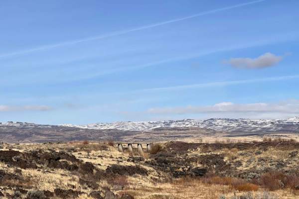
King Hill
King Hill is an easy, scenic route ideal for beginners, family outings, and drivers in stock four-wheel-drive vehicles or SxSs looking to transition from the river valley into the scenic foothills. Spanning approximately 6.2 miles of primarily smooth gravel, this well-traveled trail climbs from the ...
Learn more about King Hill
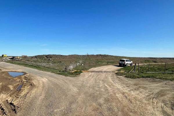
Wilson Butte
Expect a fairly easy trail here in the southern Idaho desert. This trail opens up with a few options to discover. As you head out, the road is fairly level, packed dirt and pretty dusty. You will not find many people out at the same time as you, so you can take your time or bring out some dirt bikes...
Learn more about Wilson Butte
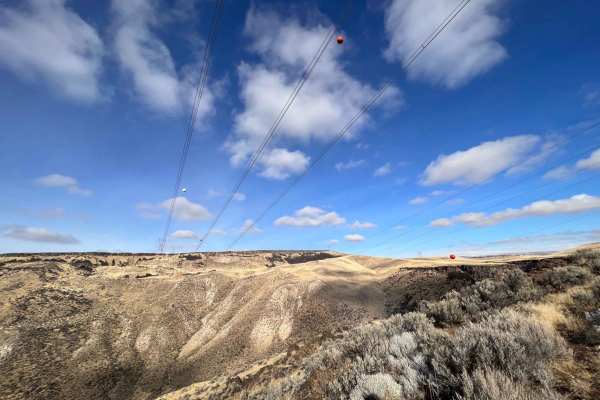
Glenn's Grassy Ascent
This fun little romp in the hills begins just outside the adorable town of Glenn's ferry. Well worth exploring its quaint downtown and waterfronts. There are cute shops and many historic buildings. Once on the trail, it passes a fair amount of trash that appears to be a local favorite spot to target...
Learn more about Glenn's Grassy Ascent
ATV trails near Gooding, Idaho
Explore ATV-friendly trails near you. These trails are accessible for vehicles up to 50 inches wide, perfect for ATVs and smaller off-road machines.
Dead Horse and Tea Kettle Caves with Connector
This short route takes you through south-central Idaho's interesting and diverse lava flow region. This trail can be done both directions, but the easier sections begin closer to Gooding and the Tea Kettle and Dead Horse caves. This section brings you directly to the locally famous Tea Kettle and De...
Learn more about Dead Horse and Tea Kettle Caves with Connector
Sturgeon Run
Enjoy a relatively easy and short drive! Wind your way up the Snake River to Lower Salmon Falls Dam. Plenty of spots to take in views, great spots to park and fish or simply enjoy the river. Mostly used for sportsman's access such as fishing and hunting, so please be on the lookout for other vehicle...
Learn more about Sturgeon Run
Little City of Rocks Access
This short route takes you through south-central Idaho's interesting and diverse lava flow region. When you begin to near the City of Rocks formations and canyons the trail becomes rugged, rocky, and rutted leading to the difficulty rating. This trail can be linked to many others in the area. There ...
Learn more about Little City of Rocks Access
Canyon View Corkscrew
Take a short adventurous trip along the edge of a plateau, leading you to an incredible, nearly hidden canyon. The longer you drive, the more amazing the views become. Pack some food and a couple of chairs and take in the amazing views of the canyon and the high desert down below. Several short spur...
Learn more about Canyon View Corkscrew
UTV/side-by-side trails near Gooding, Idaho
Find UTV and side-by-side trails near you. These trails accommodate vehicles up to 60 inches wide, ideal for UTVs, side-by-sides, and wider off-road rigs.
Dead Horse and Tea Kettle Caves with Connector
This short route takes you through south-central Idaho's interesting and diverse lava flow region. This trail can be done both directions, but the easier sections begin closer to Gooding and the Tea Kettle and Dead Horse caves. This section brings you directly to the locally famous Tea Kettle and De...
Learn more about Dead Horse and Tea Kettle Caves with Connector
Sturgeon Run
Enjoy a relatively easy and short drive! Wind your way up the Snake River to Lower Salmon Falls Dam. Plenty of spots to take in views, great spots to park and fish or simply enjoy the river. Mostly used for sportsman's access such as fishing and hunting, so please be on the lookout for other vehicle...
Learn more about Sturgeon Run
Little City of Rocks Access
This short route takes you through south-central Idaho's interesting and diverse lava flow region. When you begin to near the City of Rocks formations and canyons the trail becomes rugged, rocky, and rutted leading to the difficulty rating. This trail can be linked to many others in the area. There ...
Learn more about Little City of Rocks Access
Canyon View Corkscrew
Take a short adventurous trip along the edge of a plateau, leading you to an incredible, nearly hidden canyon. The longer you drive, the more amazing the views become. Pack some food and a couple of chairs and take in the amazing views of the canyon and the high desert down below. Several short spur...
Learn more about Canyon View Corkscrew
The onX Offroad Difference
onX Offroad combines trail photos, descriptions, difficulty ratings, width restrictions, seasonality, and more in a user-friendly interface. Available on all devices, with offline access and full compatibility with CarPlay and Android Auto. Discover what you're missing today!
Open Trail Map