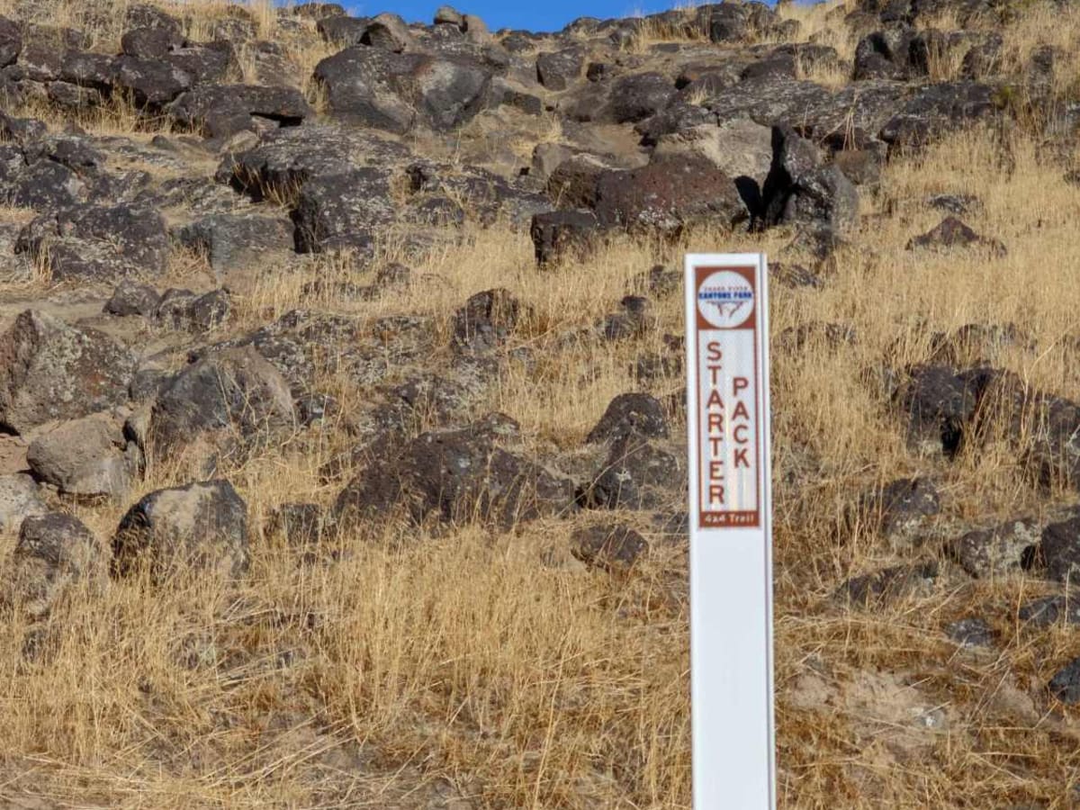
Trail Overview
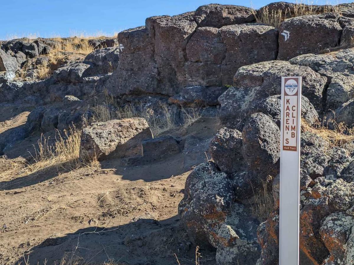
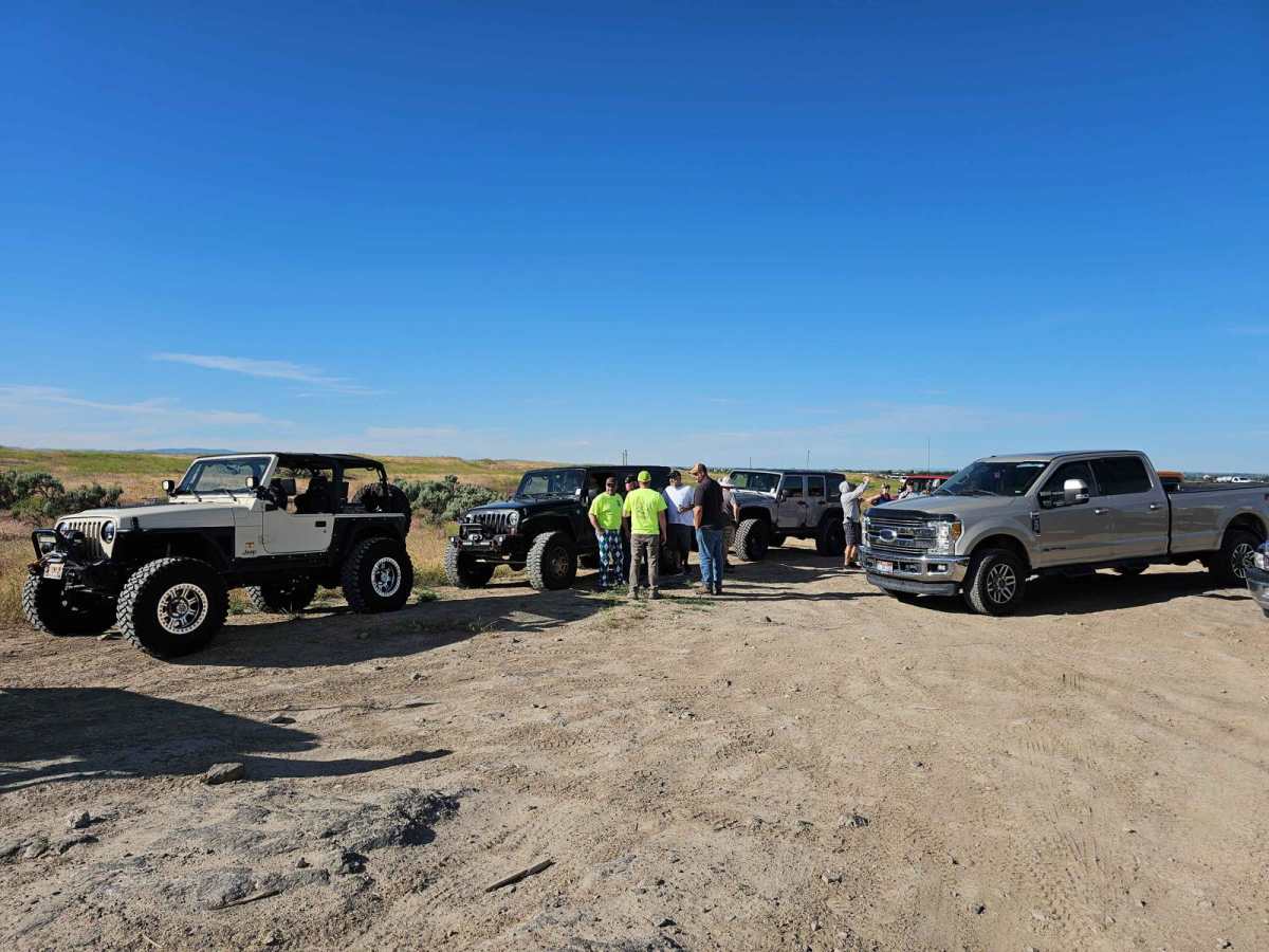
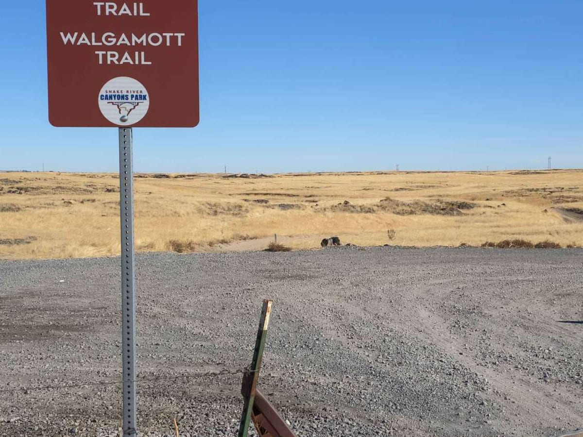
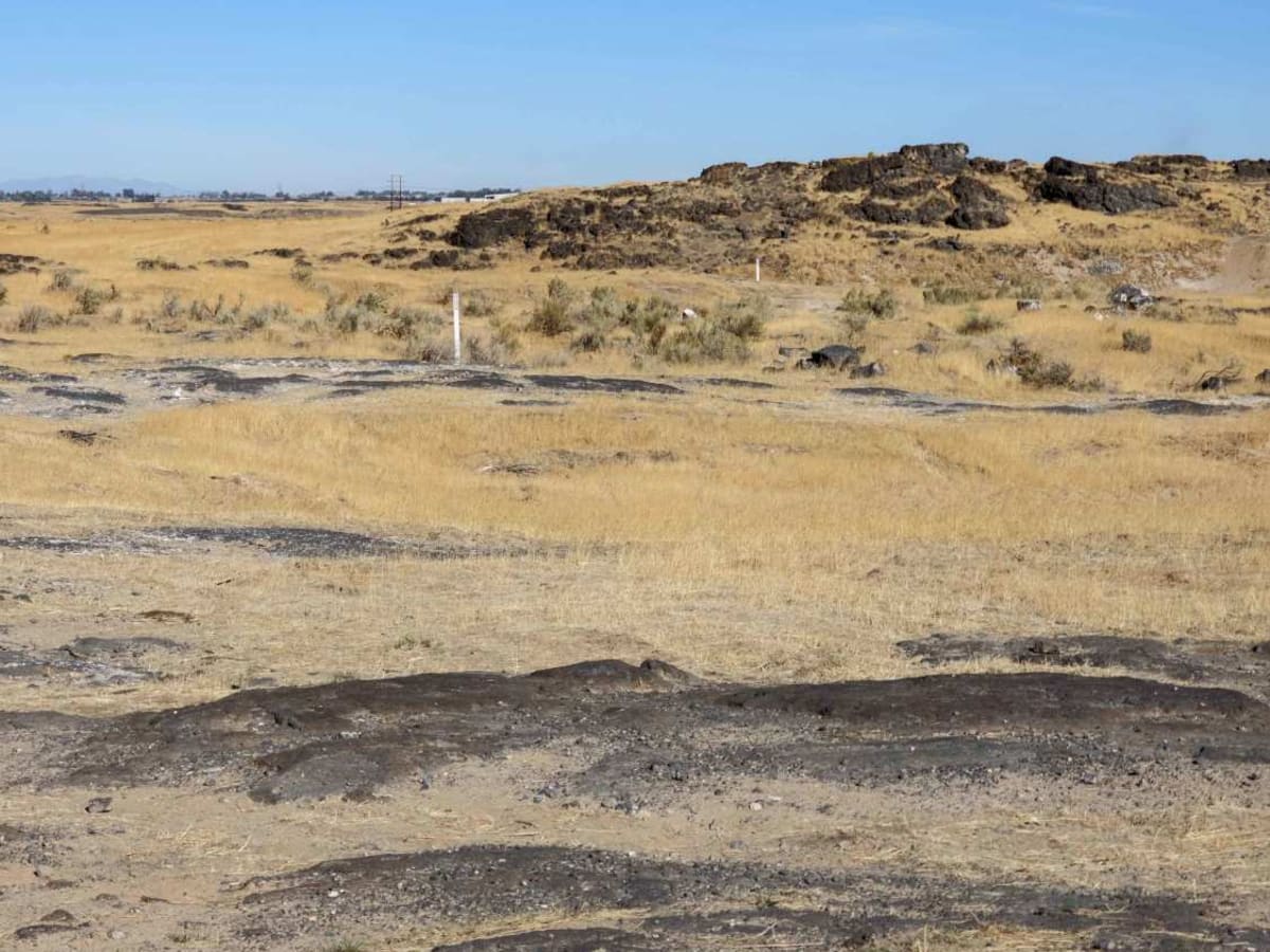
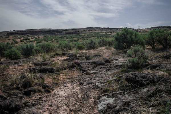
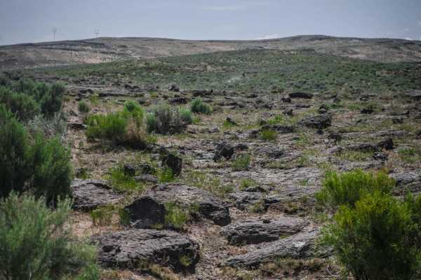
Rough and Tumble is a rock-crawling 4x4 trail located within the Snake River Canyons Park just North of the beautiful Snake River Canyon in Twin Falls, Idaho. This trail was a collaboration of the Southern Idaho Offroad Association, and the Snake River Canyons Park and is part 1 of 2 connected trails. The trail is easily accessible and begins just North of the Perrine Bridge off Highway 93. The trail intersects several early emigrant migration trails and winds through and over basalt crack and column formations, grass, and sage brush. The rock obstacles on this trail are moderate to difficult and require a high-clearance 4x4 and lockers. There are, however, bypass routes for all obstacles. The surrounding park includes RV camping, ATV and motorcycle trails, hiking, horse riding, and other activities.
Difficulty
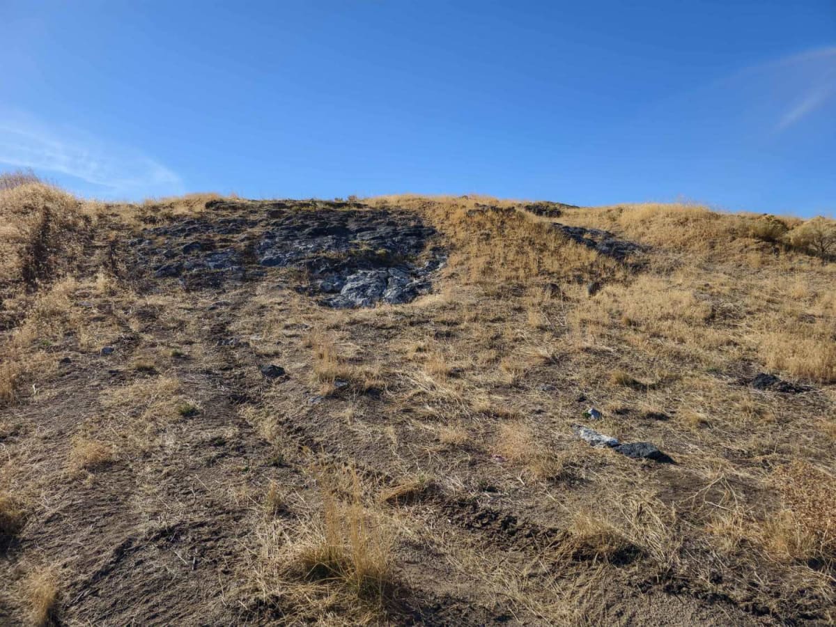
The trail is a connected series of natural basalt rock crawling obstacles. The obstacles range from moderate to difficult with bypasses available. Many of the obstacles require at least a rear locker, while the most difficult ones require a front and rear locker. Several wall obstacles are more than 3 feet tall and require the vehicle to approach verticle. Vehicle damage is possible.
History
The trail is part of a greater recreational area developed by Jerome County as the Snake River Canyon Park. This particular part of the park has been a favorite off-road enthusiast area for decades, and it has been developed more intentionally over the past 5 years.