Trail Overview
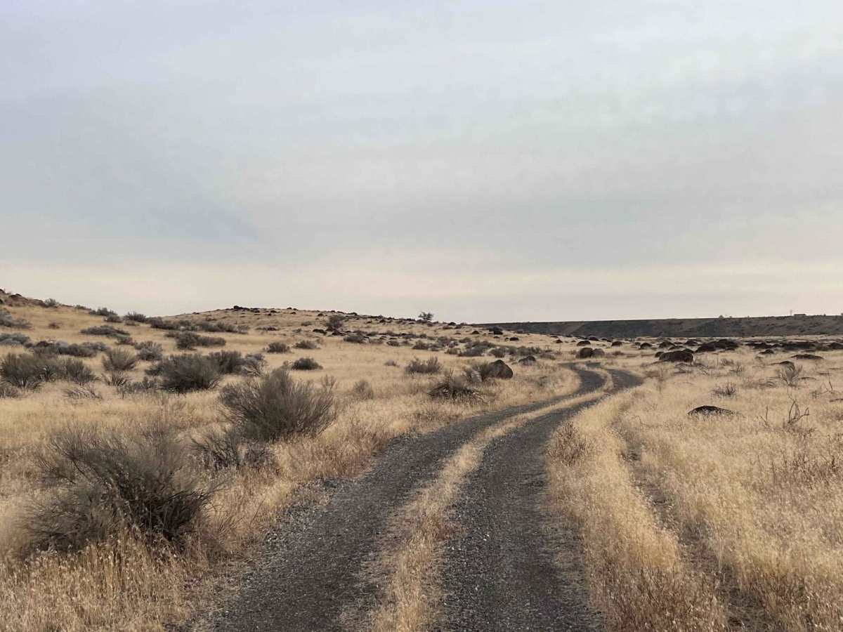
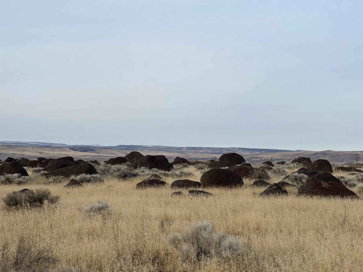
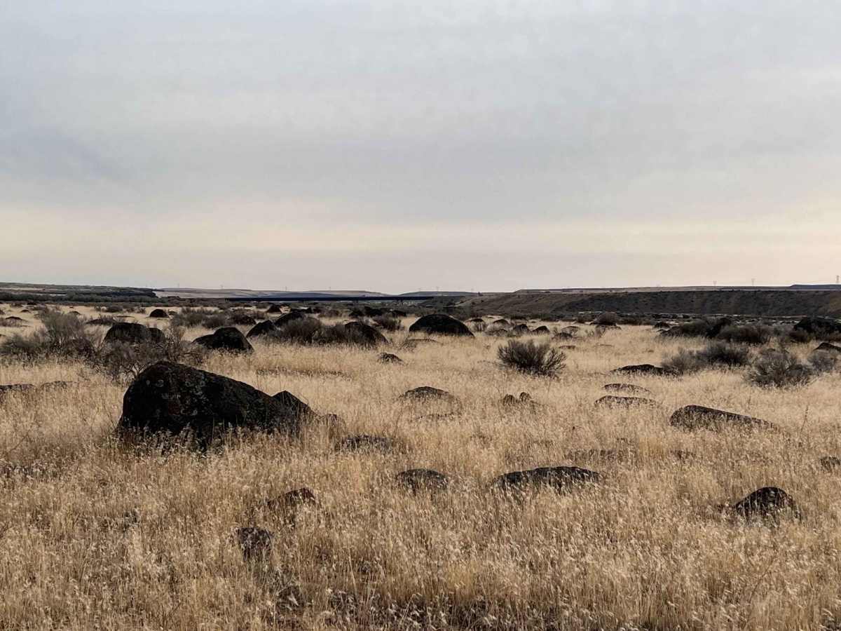
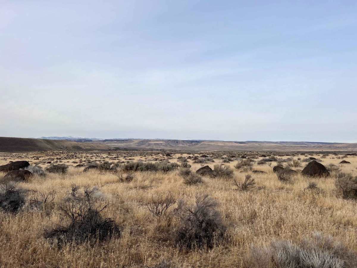
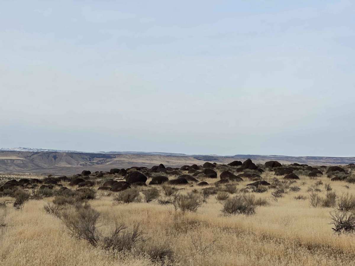
Petrified Watermelons is an easy 1.7-mile out-and-back trail ideal for beginners, families, and offroaders looking for a scenic drive to witness Idaho's unique geological history. Suited for most stock four-wheel-drive vehicles, SxSs, and dirt bikes, this gravel and dirt route features a technical rating of 2 and minimal elevation changes, winding from about 2,573 feet to a maximum of 2,659 feet. The main draw of the trail is the field of "petrified watermelons," which are actually large, smooth, rounded basalt boulders deposited across the landscape by the cataclysmic Bonneville Flood thousands of years ago.
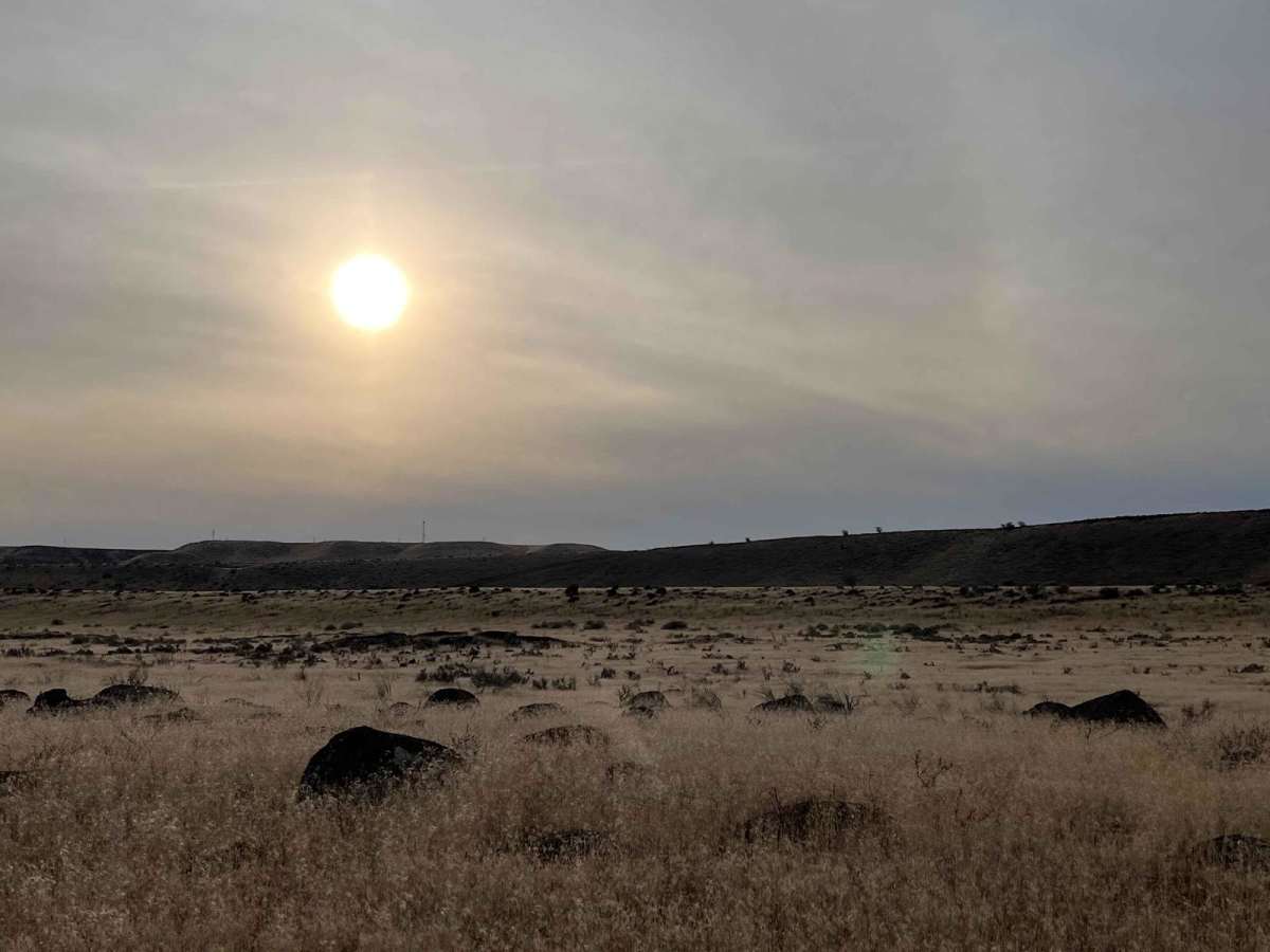
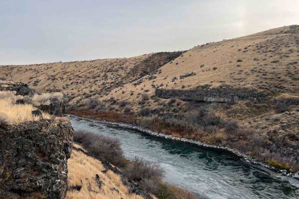
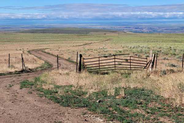
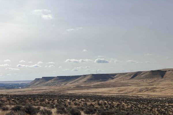
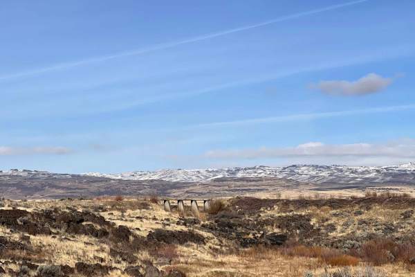
As the route progresses, it navigates through the scenic sagebrush plains near the Snake River before ending abruptly at a private property gate, making it necessary to turn around and head back the way you came. Those interested in the history of these geological formations can locate explanatory signage on a nearby farm situated along the north side of Old Highway 30. Cell service is highly limited throughout this area, with only a weak signal occasionally available at the higher points of the trail.
History
The rounded basalt boulders scattered across the landscape, colloquially known as "petrified watermelons" or "melon gravel," are geological remnants of the catastrophic Bonneville Flood. Occurring roughly 14,500 years ago, this massive flood sent water roaring down the Snake River Canyon, sculpting and polishing these distinctive basalt rocks before depositing them in fields along the river plains.
Access Description
The trail ends at private property marked by a closed gate, requiring all offroaders to turn around and trace their steps back. Cellular service is extremely limited, with only a weak signal occasionally accessible on higher points of the route.

 Offroad