Sugar Bowl

Total Miles2.5
Technical Rating
2Easy
Best TimeSummer, Spring, Fall
Trail TypeFull-Width Road
Accessible By
Open Trail Map

Trail Overview

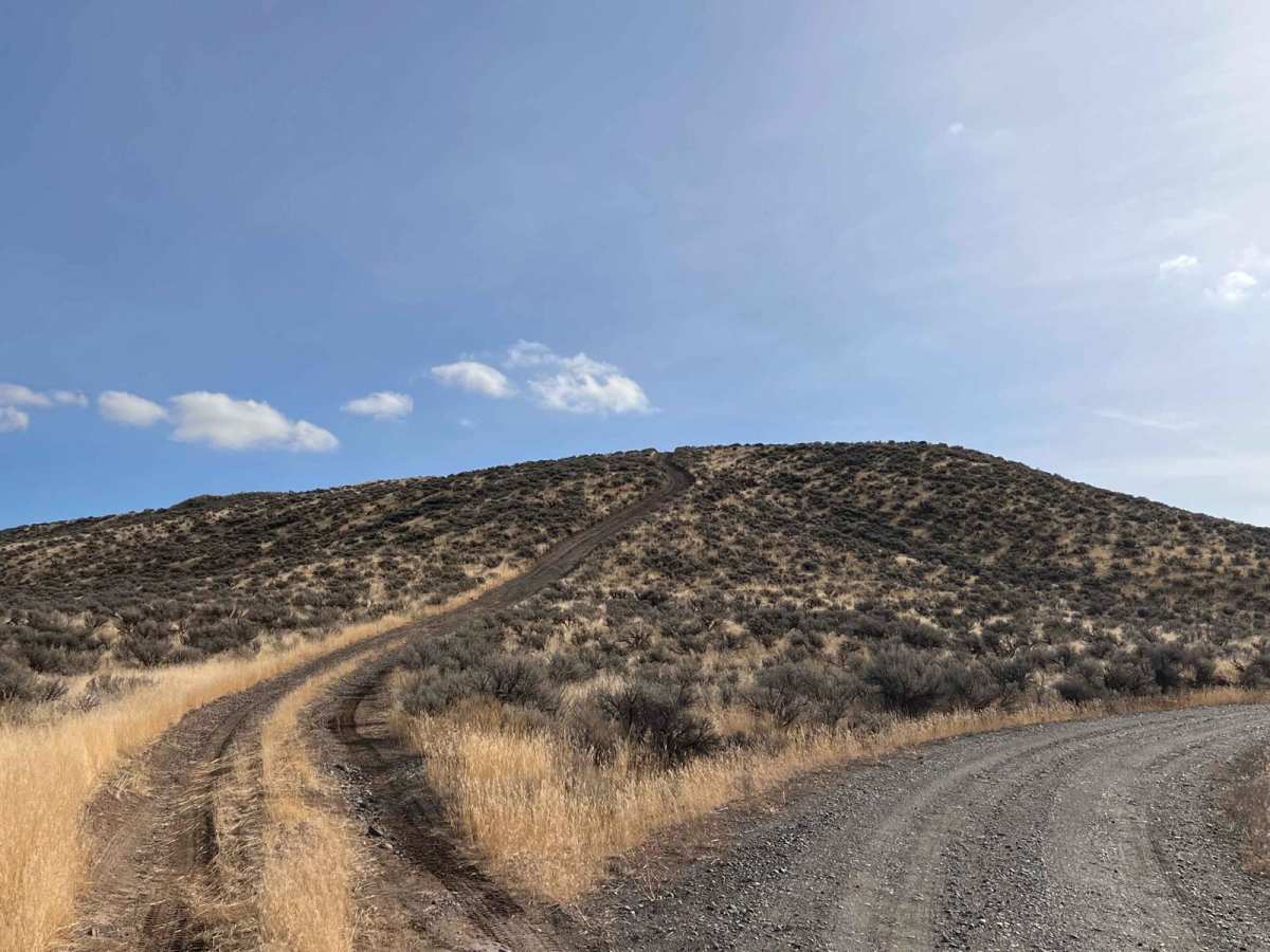
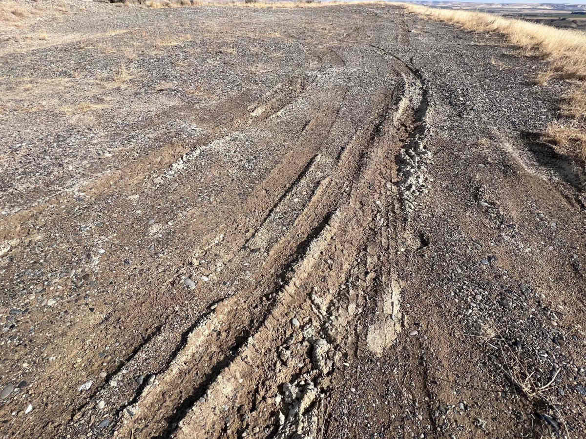
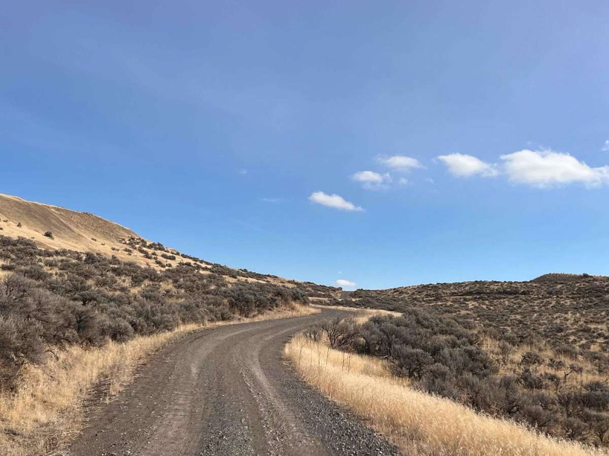
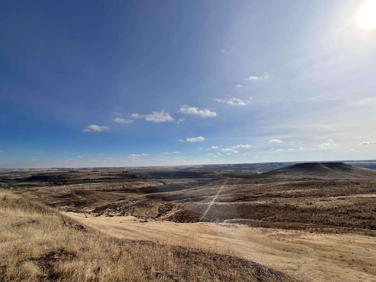
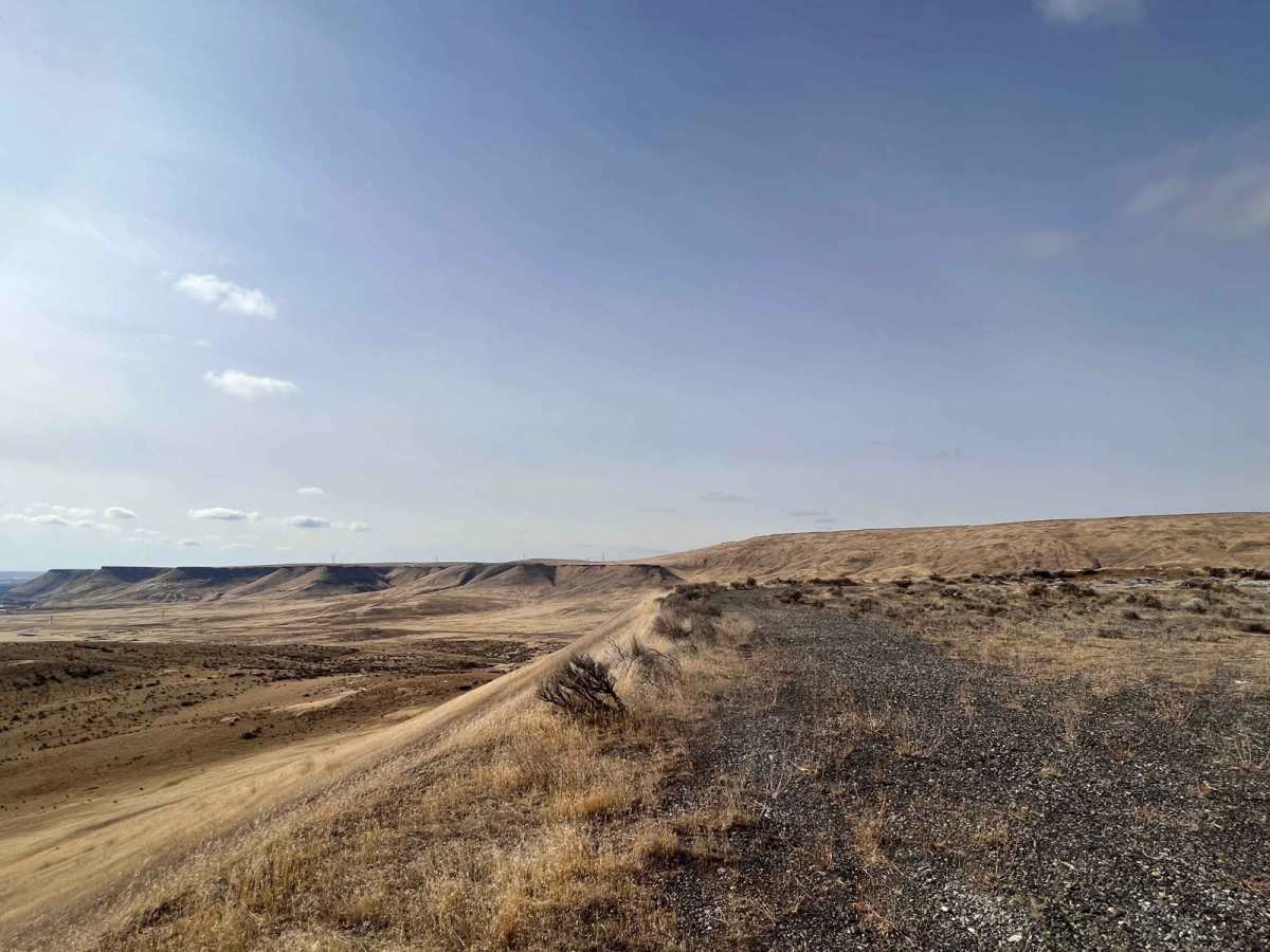
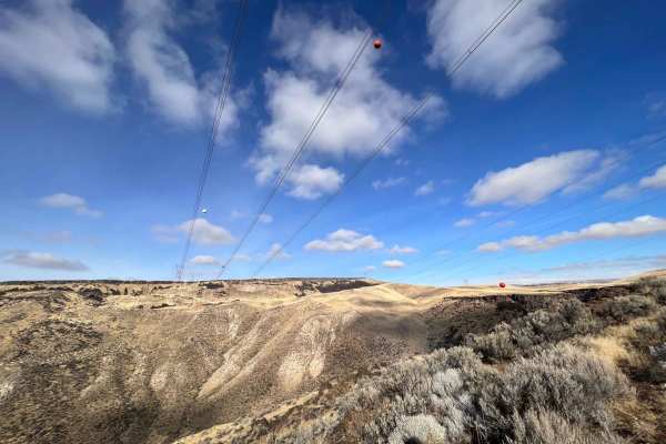
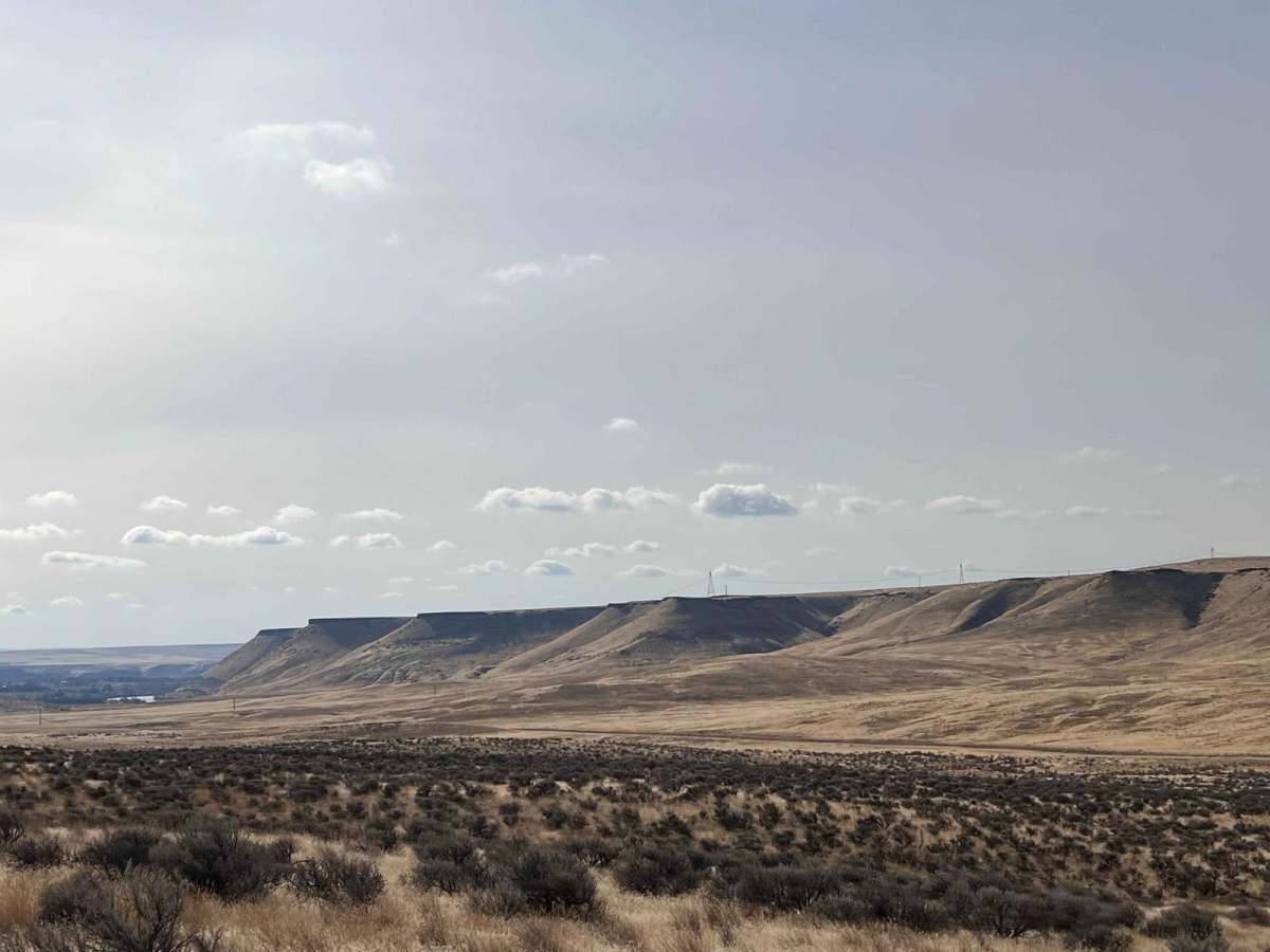
This fun little trail heads from old highway 30 up into the hills to a killer pair of hilltops. The trail ends at a fantastic camping spot with good LTE cell service and panoramic views of the Snake River, the valley below, and the sugar Bowl plateau directly to the south. The other side of the hill is less scenic but clearly more of a great local shooting spot. It has good Bermed hills to shoot into and plenty of room for multiple groups. The trail surface is packed gravel, and there is clearly a well-traveled "advanced" route to get to the top. This area appears to be the source of much of the gravel used on the trails, so the road surface is quite good.

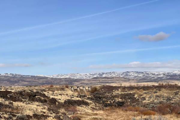
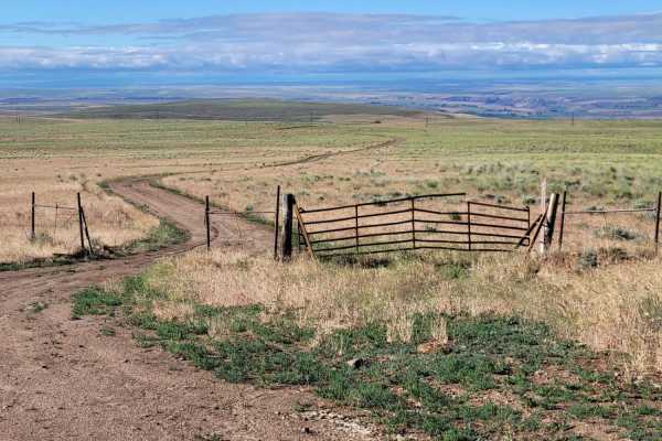
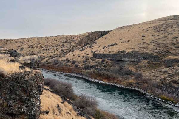
Photos of Sugar Bowl

Difficulty

Easy and gravel all the way until the end. There's a slight hill climb, and it may get muddy when wet.

Technical Rating

2

Status Reports

Add Status Report
Ian M
Apr 29, 2026
2004 Toyota 4runner
Open

Sugar Bowl Trail can be accessed by the following ride types:

  • Single Track
  • 50 Inch
  • 60 Inch
  • High Clearance
  • Full Width

Sugar Bowl Map

The onX Offroad Difference

onX Offroad combines trail photos, descriptions, difficulty ratings, width restrictions, seasonality, and more in a user-friendly interface. Available on all devices, with offline access and full compatibility with CarPlay and Android Auto. Discover what you're missing today!

Open Trail Map