Trail Overview
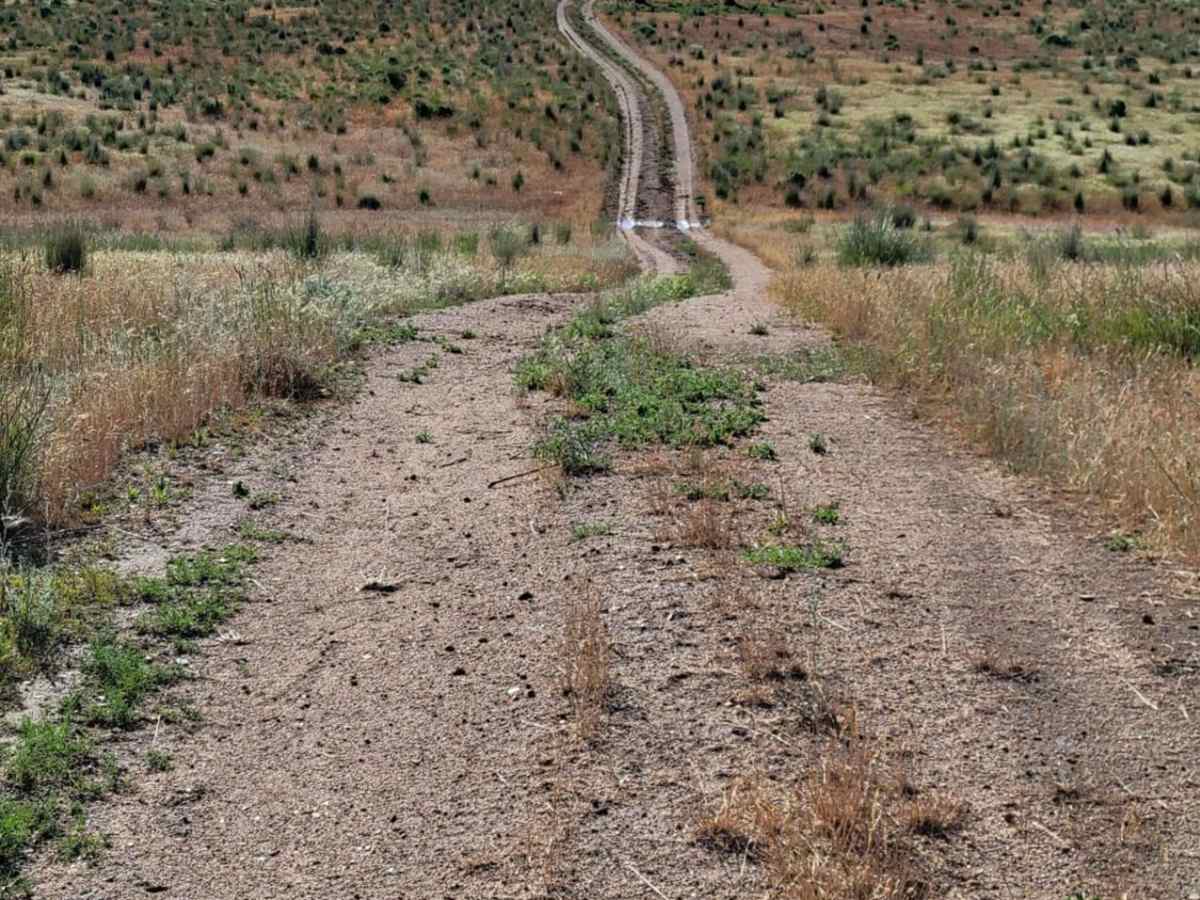
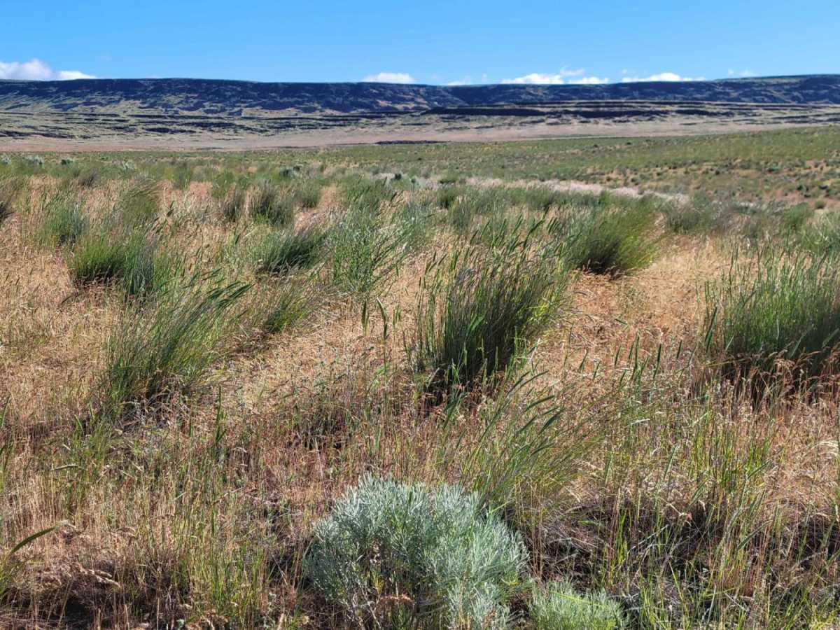
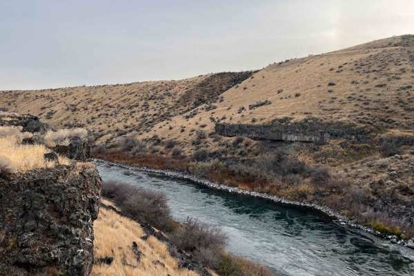
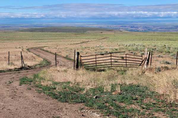
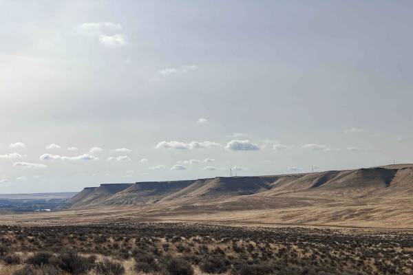
Power Line Access is a 1.2-mile out-and-back trail branching off Dempsey Meadow Road in Idaho's Bennett Hills. Primarily serving as a utility access route, this short dirt path winds through high-desert terrain, offering views of Dempsey Meadow and the surrounding valley.
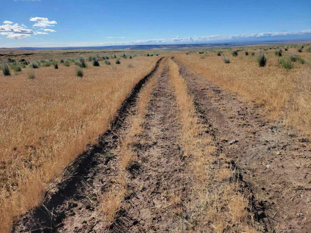
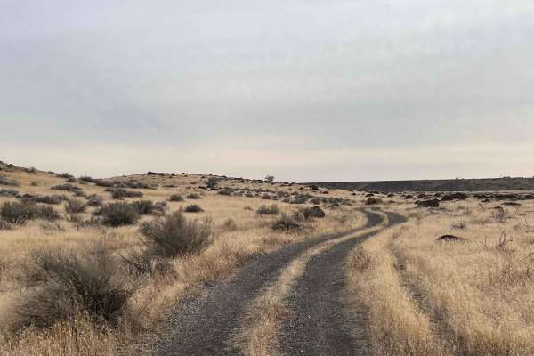
The trail features an uneven, rutted dirt surface with a technical difficulty rating of 3. Drivers should expect minor challenges including sandy washes, loose rocks, shallow water crossings, and obstacles up to 12 inches. The trail is generally one vehicle wide with occasional passing spots and dead-ends near the power lines.
Difficulty
Uneven, rutted dirt trail with potential for loose rocks and sandy washes. Water crossings less than a foot deep. Potential for mud holes and trail obstacles up to 12", including ledges and short, steep grades. Roads are typically one vehicle wide with places to pass.
Access Description
The route is located on public land managed by the Bureau of Land Management (BLM) in Elmore County, Idaho. No fees or permits are required to access this trail. Drivers should be mindful of seasonal conditions, as early spring snowmelt and rains can create deep mud holes and ruts, potentially leading to resource damage if driven when overly wet.



 Offroad