
Dirt Bike Trails
Near Dwight Mission, Oklahoma
Explore All Dirt Bike Trails Near Dwight Mission, Oklahoma
Dirt Bike Trails Near Dwight Mission, Oklahoma
Discover the best dirt bike trails near you. Browse trail maps, check difficulty ratings, and find your next adventure — whether you're looking for a quick ride or an all-day expedition.
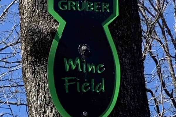
Mine Field
This isn't really a trail, more of a playground. Rocks, boulders, and more rocks are to be found here. There is no particular entrance or exit. It is just a vast array of huge rocks to play around on. Trials Bike riders love this area. It is a great place for you and your buddies to watch each othe...
Learn more about Mine Field
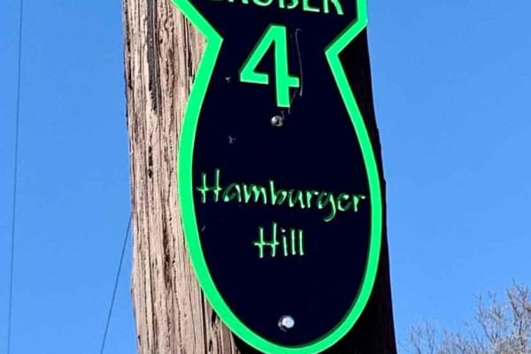
Hamburger Hill
This is a steep long hill, with a few ledges to negotiate on the way up or down. There are multiple paths to take, each more or less challenging than the other. There are loose rocks, good breaks, and low gear is recommended. At the bottom of the hill, it levels out with a great mud pit that can b...
Learn more about Hamburger Hill
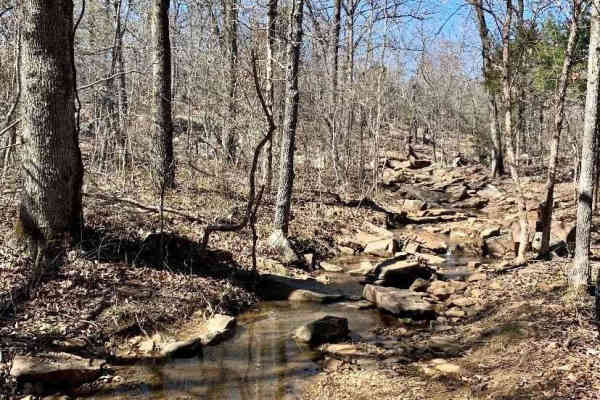
Thunder Chicken
Tough rock crawling trail. Even harder after a good rain and water are flowing down the creek bed. Slippery tires make for great fun! A rear locker is recommended, or a winch likely will be required. A hard 90-degree turn in the middle of the trial will test out your steering components as your rig ...
Learn more about Thunder Chicken
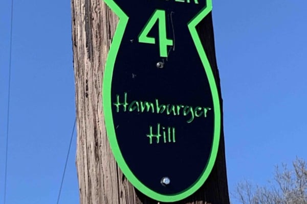
Hamburger Hill
This appears to be a wide-open trail, and it is. But it is a long, steep climb from the bottom to the top. Multiple lines to approach this climb, some are easier than others. Expect loose rolling rocks, 12" shelves to bump over, and about 100' of elevation change. 4 Low gears are highly recommended ...
Learn more about Hamburger Hill
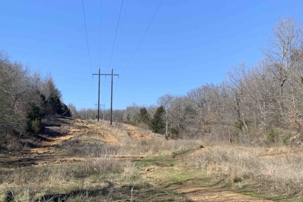
Power Line
Nice wide-open Power Line trail. Has many elevation changes, and different routes to take. Go left up the hill for the hard-line, and go right for the slower-paced but more technical line. Great place to park and watch others attempt hill climbs and descents.
Learn more about Power Line
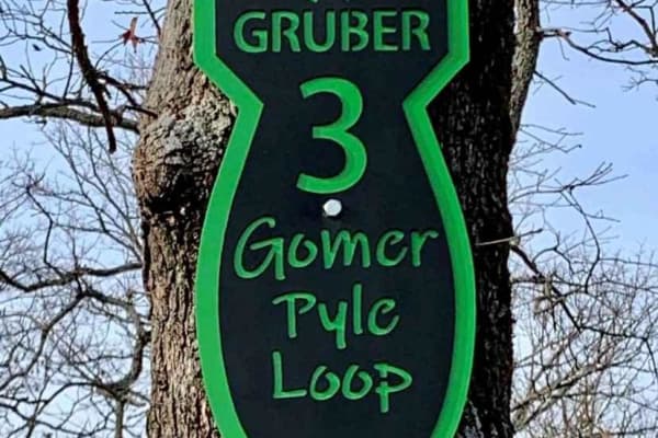
Gomer Pyle Loop
This trail is the Main Loop trail around the border of Gruber ORV Park. It is the easiest trail in the park and begins and ends near the entrance to the park. It has multiple types of terrain from rocks, dirt, berms, and ledges, and one of the most views of the Arkansas River and communities of Musk...
Learn more about Gomer Pyle Loop
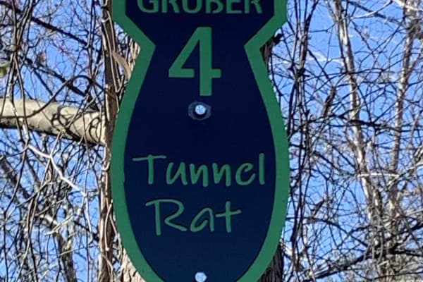
Tunnel Rat
Nice creek bed with mild rock climbing. Theres a tight trail between trees in a V-groove creek. Lots of suspension articulation and constant mile elevation climb. Begins on the power line trail, and ends on the same trail at a different location. Awesome trail when attempted with snow on the ground ...
Learn more about Tunnel Rat
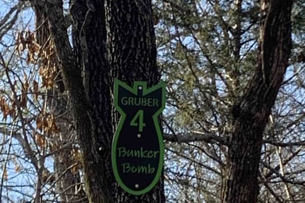
Bunker Bomb
Gruber ORV Park is a free park, open to the public 24/7 with the exception of special events. Expect dirt bikes, ATVs, UTVs, and full-size vehicle trails. Stock rigs all the way up to rock crawler rigs will enjoy the variety of terrain. (Don't forget to find the bluff area with a spectacular view o...
Learn more about Bunker Bomb
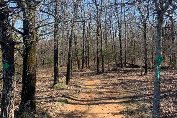
Bunker Hill Loop
Great trail that makes a loop, can do it over and over again! Several other trails branch off to other areas of the park. This is a relatively easy ride, but several tight squeezes between trees, Full-size rigs, beware! Be prepared for several left, right, left, and right turns to make it through th...
Learn more about Bunker Hill Loop
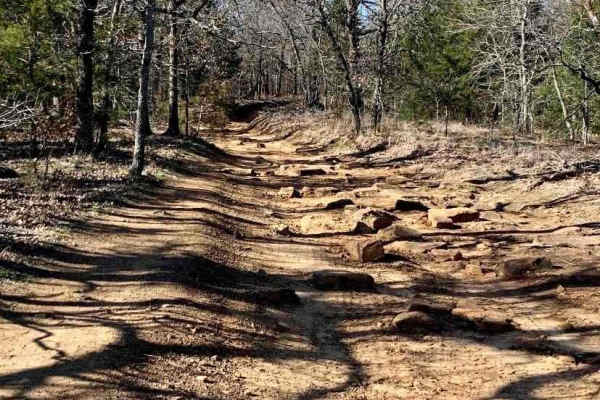
Interceptor
Easy terrain, wide enough for a full-size vehicle, widens out halfway through, then single vehicle again. This trail begins in the powerline area and finishes at the county road that runs through the park. Fun to go one way, turn around, and go back the other way. Look for wildlife to the left and r...
Learn more about Interceptor
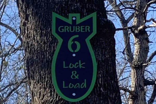
Lock & Load
On this trail, you'll find a beautiful creek with large rocks and an active stream. It is great for rock crawling and flexing out your rig. If you make it up, turn around and try it going down. "Escape" the path halfway through in case you are in over your head. Damage to the rig is possible.
Learn more about Lock & Load
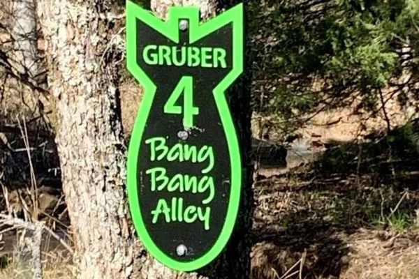
Bang Bang Alley
This trail is a slight up hill climb, few rocks to negotiate, water flowing on trail if recently rained, and tight woods. Begins on the power line area and ends near the county road inside the park. Beautiful fall foliage in the autumn, the potential for some snow covering the trail in the winter.
Learn more about Bang Bang Alley
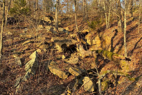
The Shaft
The shaft is a steep, rocky, loose trail with a waterfall-type ledge in the middle that is about 5-6 feet tall. The trail starts at the bottom of the creek, known as heartbreak ridge. Lockers, winches, and large tires 40s or larger are suggested. The trail ends back on the Gomer Pyle loop just west ...
Learn more about The Shaft
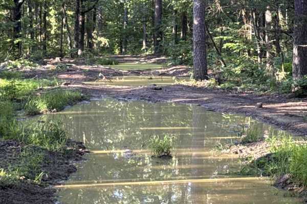
Crawley Ridge
Crawley Ridge is a rugged forest trail known for its deep mud holes, rocky climbs, and remote backwoods feel. Unlike smoother Ozark gravel routes, this trail quickly turns rough with uneven rock ledges, loose embedded stone, exposed roots, and heavily rutted sections that demand careful tire placeme...
Learn more about Crawley Ridge
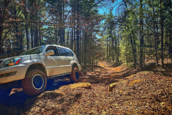
Pannell Road
On each end of this trail is a lovely, winding, gravel/dirt road, but in the middle, for a little over a mile, is a rocky and rutted trail with rocky, vertical ledges as high as 28 inches tall. Several bypass routes are the most challenging obstacles, but 32" tires and rock sliders are recommended. ...
Learn more about Pannell Road
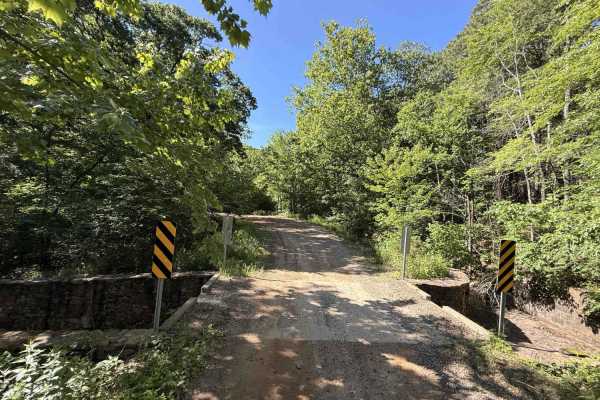
Cove Creek Crossing
Cove Creek Crossing is a scenic forest route that follows the creek through a narrow mountain valley surrounded by towering hardwoods, rock bluffs, and rolling ridgelines. The road is primarily gravel and generally easy to navigate, though scattered embedded rock and occasional rough patches keep it...
Learn more about Cove Creek Crossing
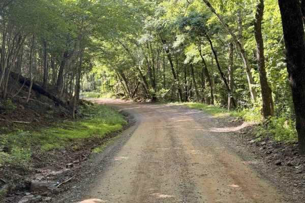
Old Cove City Road
Old Cove City Road is an easy scenic gravel road that winds through dense hardwood forest and rolling mountain terrain within the National Forest. The route is generally wide and well-maintained, making it suitable for most highway-registered vehicles in dry conditions. Long stretches of tree canopy...
Learn more about Old Cove City Road
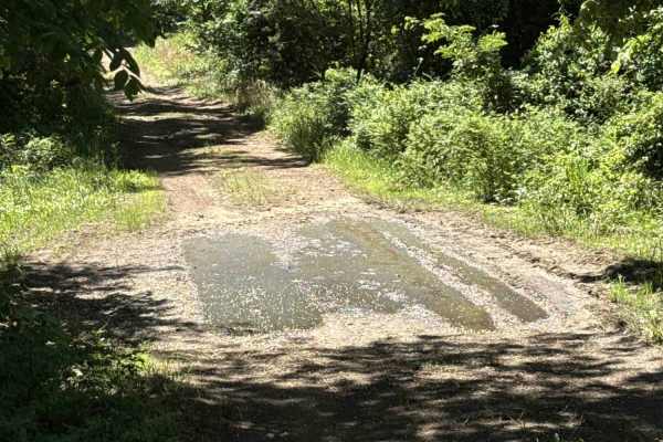
Elmo Creek
Elmo Creek Trail is an out-and-back National Forest route that offers a mix of easy forest driving with a few moderately rough sections scattered throughout. The trail begins as a relatively smooth gravel and dirt road beneath a dense tree canopy before gradually becoming narrower and more uneven de...
Learn more about Elmo Creek
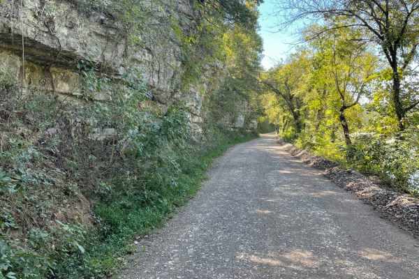
Tsalagi Trail East
The Tsalagi Trail East offers a scenic and leisurely expedition through the historic eastern reaches of the Cherokee Nation, making it perfect for beginners, families, and overland enthusiasts seeking a relaxed day on the trail. Spanning approximately 55 miles of unpaved county roads, this route win...
Learn more about Tsalagi Trail East
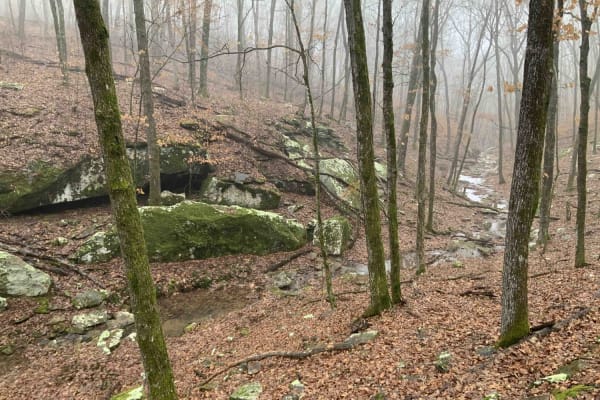
Bradford Easy Loop 1720B/2509
This is a great loop trail off Freedom Road. Along the trail, there are a few more loop and side road options that would make the path longer or more difficult. Due to narrow and tight turns, it is not currently suitable for full-size 4x4 pickups. Your 4x4 Jeep, Bronco, or midsize truck should be fi...
Learn more about Bradford Easy Loop 1720B/2509
ATV trails near Dwight Mission, Oklahoma
Explore ATV-friendly trails near you. These trails are accessible for vehicles up to 50 inches wide, perfect for ATVs and smaller off-road machines.
Mine Field
This isn't really a trail, more of a playground. Rocks, boulders, and more rocks are to be found here. There is no particular entrance or exit. It is just a vast array of huge rocks to play around on. Trials Bike riders love this area. It is a great place for you and your buddies to watch each othe...
Learn more about Mine Field
Hamburger Hill
This is a steep long hill, with a few ledges to negotiate on the way up or down. There are multiple paths to take, each more or less challenging than the other. There are loose rocks, good breaks, and low gear is recommended. At the bottom of the hill, it levels out with a great mud pit that can b...
Learn more about Hamburger Hill
Thunder Chicken
Tough rock crawling trail. Even harder after a good rain and water are flowing down the creek bed. Slippery tires make for great fun! A rear locker is recommended, or a winch likely will be required. A hard 90-degree turn in the middle of the trial will test out your steering components as your rig ...
Learn more about Thunder Chicken
Hamburger Hill
This appears to be a wide-open trail, and it is. But it is a long, steep climb from the bottom to the top. Multiple lines to approach this climb, some are easier than others. Expect loose rolling rocks, 12" shelves to bump over, and about 100' of elevation change. 4 Low gears are highly recommended ...
Learn more about Hamburger Hill
UTV/side-by-side trails near Dwight Mission, Oklahoma
Find UTV and side-by-side trails near you. These trails accommodate vehicles up to 60 inches wide, ideal for UTVs, side-by-sides, and wider off-road rigs.
Mine Field
This isn't really a trail, more of a playground. Rocks, boulders, and more rocks are to be found here. There is no particular entrance or exit. It is just a vast array of huge rocks to play around on. Trials Bike riders love this area. It is a great place for you and your buddies to watch each othe...
Learn more about Mine Field
Thunder Chicken
Tough rock crawling trail. Even harder after a good rain and water are flowing down the creek bed. Slippery tires make for great fun! A rear locker is recommended, or a winch likely will be required. A hard 90-degree turn in the middle of the trial will test out your steering components as your rig ...
Learn more about Thunder Chicken
Hamburger Hill
This appears to be a wide-open trail, and it is. But it is a long, steep climb from the bottom to the top. Multiple lines to approach this climb, some are easier than others. Expect loose rolling rocks, 12" shelves to bump over, and about 100' of elevation change. 4 Low gears are highly recommended ...
Learn more about Hamburger Hill
Power Line
Nice wide-open Power Line trail. Has many elevation changes, and different routes to take. Go left up the hill for the hard-line, and go right for the slower-paced but more technical line. Great place to park and watch others attempt hill climbs and descents.
Learn more about Power Line
The onX Offroad Difference
onX Offroad combines trail photos, descriptions, difficulty ratings, width restrictions, seasonality, and more in a user-friendly interface. Available on all devices, with offline access and full compatibility with CarPlay and Android Auto. Discover what you're missing today!
Open Trail Map