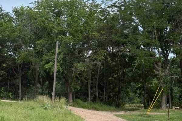
Tsalagi Trail East

Total Miles54.7
Technical Rating
3Easy
Best TimeSpring, Summer, Winter, Fall
Trail TypeFull-Width Road
Accessible By
Open Trail Map

Trail Overview

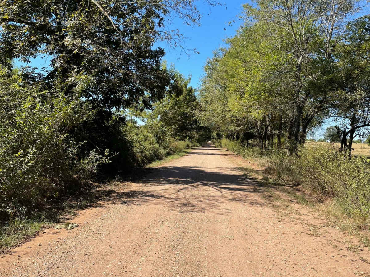
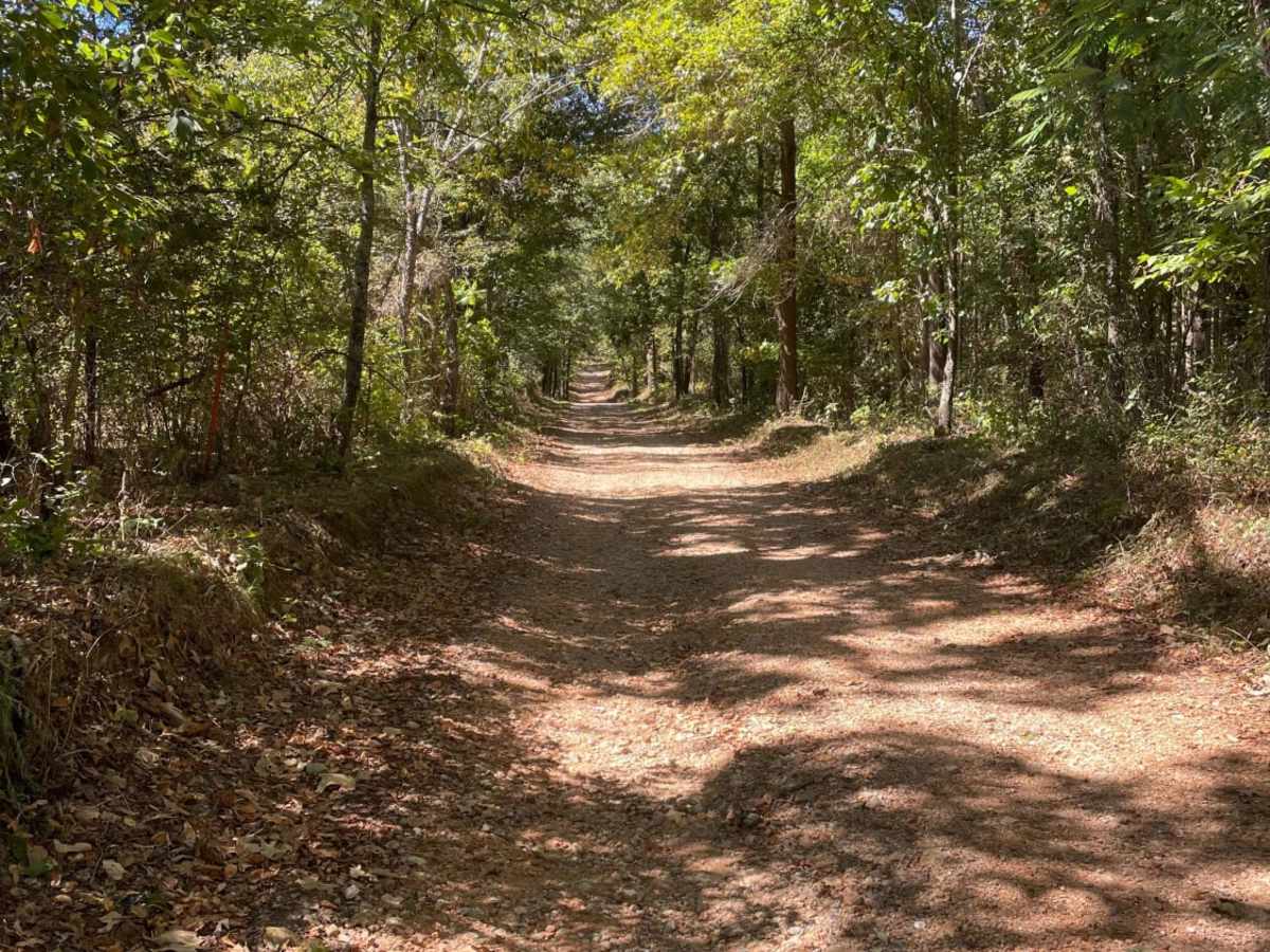
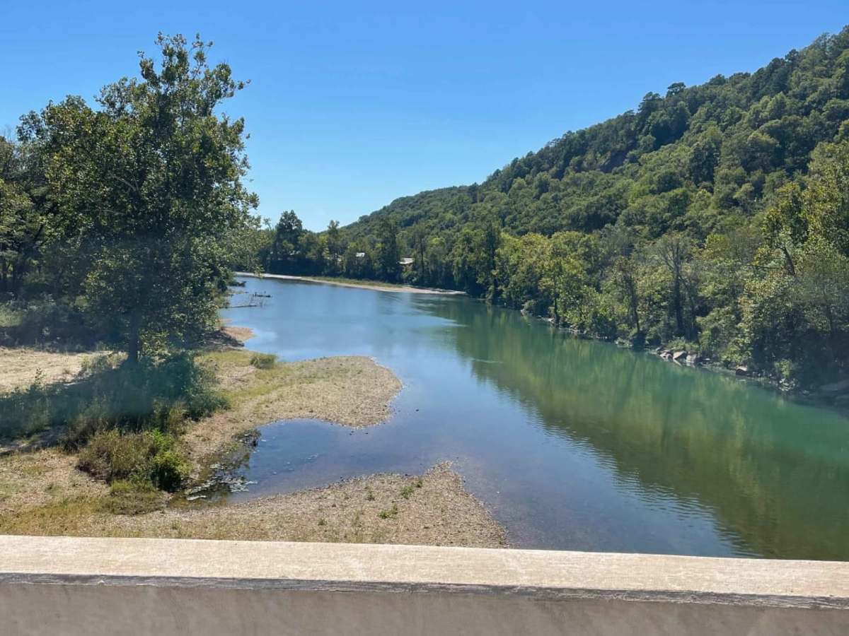
The Tsalagi Trail East offers a scenic and leisurely expedition through the historic eastern reaches of the Cherokee Nation, making it perfect for beginners, families, and overland enthusiasts seeking a relaxed day on the trail. Spanning approximately 55 miles of unpaved county roads, this route winds through rolling hills with elevations ranging from 750 to nearly 1,200 feet, accumulating around 2,900 feet of total climbing. While easily navigable by most high-clearance two-wheel-drive vehicles under dry conditions, a four-wheel-drive vehicle is highly recommended to tackle the route safely when weather conditions deteriorate. The path is predominantly composed of dirt and gravel, but heavy rains can quickly transform sections into thick, slick clay and mud that demand increased traction and careful wheel placement. With an average travel time of two to five hours, offroaders can enjoy numerous scenic vistas, lush valleys, and excellent photo opportunities along the way. A key challenge to watch for is the water crossings; after heavy rainstorms, these crossings can swell to several feet deep, posing a hydro-locking hazard for unprepared rigs. Planning a trip during the summer allows for a refreshing side trip to float down the scenic Illinois River, while autumn travelers will be treated to a spectacular display of changing fall foliage across the dense hardwood canopy. Nearby amenities and campsites around Tahlequah provide convenient basecamps, making this a highly accessible and rewarding multi-season adventure for SxSs, dirt bikes, and stock four-wheel-drive SUVs alike.

Photos of Tsalagi Trail East

Difficulty

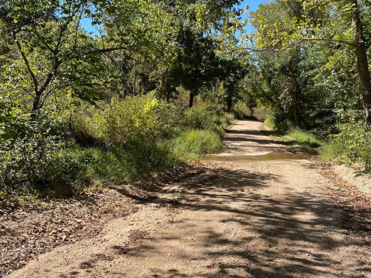
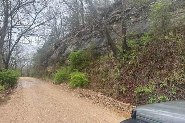
Some water crossings have the potential to be several feet deep after heavy rain. Thick mud/clay can be expected as well.

Technical Rating

3

Status Reports

Add Status Report
Chris Taylor
Mar 01, 2026
2001 Nissan Xterra
Open
NormalDusty
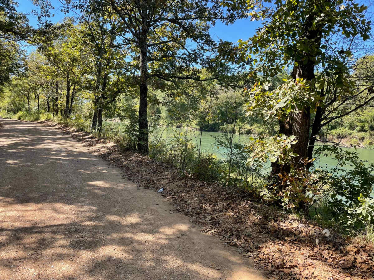
County gravel roads, creek bottoms and a section that runs along Illinois River for awhile. Scenic country drive through Adair County and NE OK
Tracy Rice
Dec 26, 2025
Open
The easternmost section from Westville back west to the Illinois River is open. Fun afternoon run on well maintained county roads.
Brandon P
Dec 26, 2025
2023 Honda CRF300L
Temporarily Closed
Portion of the trail on Moody’s road is closed, was able to take a detour on 82 and continue
Adam Drumm
Oct 12, 2025
Open
DustyRough/DeterioratedWashboard
Dusty and dry. Very little water in a few places but other than that very easy. A nice scenic drive for most of it.
Scott Cronister
Sep 11, 2025
Open
DustyRough/DeterioratedWashboard
Take the time to air down as numerous sections are very rough.
Erick Staton
Jun 06, 2025
Open
Normal
Good ride when wet some washed out areas and a few deep water crossings
Thomas Coleman
May 24, 2025
2023 Ford Bronco
Open
Normal
Super fun starter trail! Some pavement parts but mainly dirty roads with no issues.
Rico Tan
May 03, 2025
Open
NormalMuddy/Wet
Nothing challenging but a nice ride nonetheless, especially after lots of rain.
Ryan C
Apr 22, 2025
2010 Lexus GX
Obstructed
WashoutImpassable Water Crossing
entered from far north west end of the trail from the Oklahoma Adventure trail, and did not make it far. flooding has eroded the main trail. approx 3' ledge of soft dirt, and swift moving creek. it did look passable if you somewhat left the trail on the side, but I did not want to widen the trail, and did not trust that it was very solid. will come back to try again later in the summer.
Geoff Burns
Apr 20, 2025
Obstructed
WashoutImpassable Water Crossing
Trail was great, but after 3 days of soaking rain, the trail eventually got more challenging than we were willing to try. But the first part was really beautiful, definitely going to go back later this summer and do the whole trail!
Bryan Lopez
Apr 13, 2025
2005 Toyota RAV4
Open
Normal
OnX first timer here. I have a stock 05 RAV4 and this was the perfect beginner trail. Mix of pavement and gravel. Many beautiful creeks along the way to stop and explore. There were a few big puddles to play with (1st pic) that were super fun. Nothing challenging at all, could definitely do in a sedan, even. There's a gorgeous straight that takes you by the Illinois River, some bluffs, and a park to swim/cook. 10/10 first experience, took about 6 hours to do, but that was with stopping often to explore and cook food. Could be done in about 2 if you rush.
Doug Pruessner
Mar 22, 2025
Obstructed
Downed Tree
Large tree down on the North end of the trail. we almost made it to the end from south to north and had to turn around at the last 2 mile mark. Other than that it was a very nice trail.
Justin Kimbrough
Nov 02, 2024
2023 Ford Bronco
Open
Lots of back and forth between dirt and pavement.
D & K
Oct 26, 2024
Open
Dusty
David Jones
Oct 20, 2024
Open
NormalDusty

Tsalagi Trail East Trail can be accessed by the following ride types:

  • Single Track
  • 50 Inch
  • 60 Inch
  • High Clearance
  • Full Width

Access Description

The route primarily follows public county roads. While generally accessible without special permits, travelers should monitor local weather forecasts prior to departure, as heavy rainfall can quickly lead to deep water crossings, mud, localized flooding, and temporary road closures.

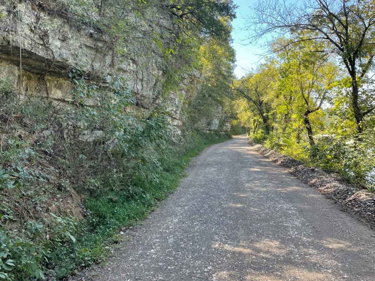
Tsalagi Trail East Map

The onX Offroad Difference

onX Offroad combines trail photos, descriptions, difficulty ratings, width restrictions, seasonality, and more in a user-friendly interface. Available on all devices, with offline access and full compatibility with CarPlay and Android Auto. Discover what you're missing today!

Open Trail Map