
Dirt Bike Trails
Near DuBois, Pennsylvania
Explore All Dirt Bike Trails Near DuBois, Pennsylvania
Dirt Bike Trails Near DuBois, Pennsylvania
Discover the best dirt bike trails near you. Browse trail maps, check difficulty ratings, and find your next adventure — whether you're looking for a quick ride or an all-day expedition.
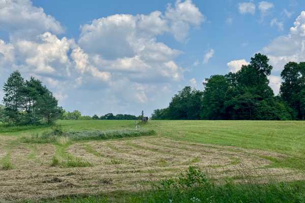
Firetower Road
From the rolling fields to the south to the forest on the north end, this is a very pleasant unpaved road. If coming from Interstate 80, this may be how you enter this forest, especially if camping in this tract. Get gas before heading into the forest this way. The Love's truck stop off Interstate 8...
Learn more about Firetower Road
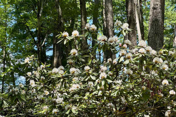
Spring Creek Rd
This forest road is the unpaved connector between the western and eastern parts of the Clear Creek & Callen Run tract of Clear Creek State Forest. It connects to PA 949 at either end. Though this featured route ends at the boundary for State Game Land 54 on the eastern end, it does go through. The L...
Learn more about Spring Creek Rd
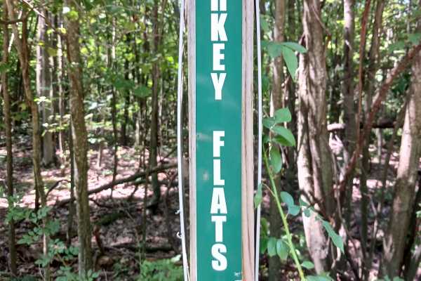
Turkey Flats Road - Rock Run Recreation Area
Turkey Flats Road - A trail of Rock Run Recreation Area. Located on the Northern End of the park, Turkey Flats Road should be able to be traversed by anyone on a motorcycle, ATV, or SxS. It is 2.1 miles in length and was built as part of the second phase of the park. Turkey Flats Road is a large loo...
Learn more about Turkey Flats Road - Rock Run Recreation Area
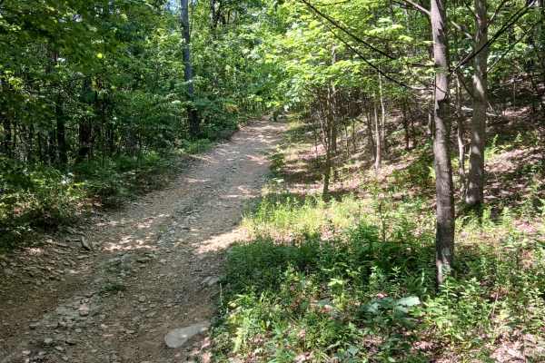
Fern Way - Rock Run Recreation Area
Fern Way - A trail of Rock Run Recreation Area. Located at the Northern End of the park, Fern Way should be able to be traversed by anyone with a motorcycle, ATV, or SxS. At 6/10ths of a mile in length, it is almost a complete loop. With both ends starting on Skunk Loop, the intersections are only a...
Learn more about Fern Way - Rock Run Recreation Area
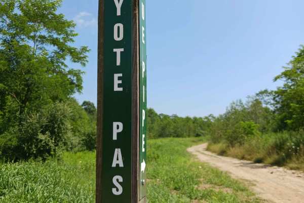
Coyote Pass Trail
Coyote Pass Trail - A trail of Rock Run Recreation Area. Located at the Northern End of the park, Coyote Pass Trail should be able to be traversed by anyone on a motorcycle, ATV, or SxS. At 3/10ths of a mile in length, it was reduced in length as part of the windmill construction project in 2025 whe...
Learn more about Coyote Pass Trail
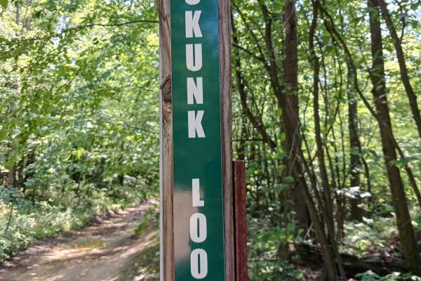
Skunk Loop - Rock Run Recreation Area
Skunk Loop - A trail of Rock Run Recreation Area. Located at the Northern End of the park, Skunk Loop should be able to be traversed by anyone with a motorcycle, ATV, or SxS. At 7/10ths of a mile in length, it is a U-shaped Loop Trail. With one end starting on Coyote Pass Trail, Skunk Loop travels ...
Learn more about Skunk Loop - Rock Run Recreation Area
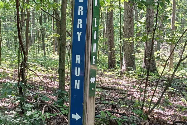
Cherry Run - Rock Run Recreation Area
Cherry Run - A trail of Rock Run Recreation Area. Located at the northern end of the park, Cherry Run should be traversable by anyone on a motorcycle, ATV, or SxS with some skill. It is approximately 1.3 miles in length and was built as part of the second phase of the park. Cherry Run starts at one ...
Learn more about Cherry Run - Rock Run Recreation Area
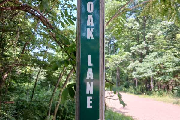
Oak Lane - Rock Run Recreation Area
Oak Lane - A trail of Rock Run Recreation Area. Located on the Northern End of the park, Oak Lane should be able to be traversed by anyone on a motorcycle, OHV, ATV, or SxS. It is just under 4/10ths of a mile in length and was built as part of the second phase of the park. Oak Lane intersects at one...
Learn more about Oak Lane - Rock Run Recreation Area
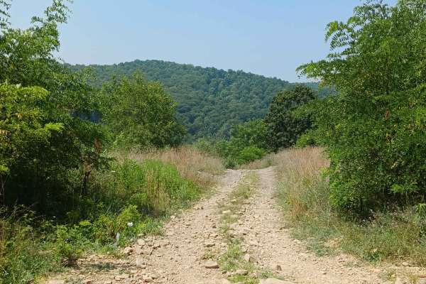
Big Buck Hill - Rock Run Recreation Area
Big Buck Hill - A trail of Rock Run Recreation Area. Located on the Northern end of the facility, Big Buck Hill is just under 3/10ths of a mile. This trail changes about 250 feet in elevation over its length. One end starts at the railroad tracks gate at the end of Rouge’s Harbor Road, and the other...
Learn more about Big Buck Hill - Rock Run Recreation Area
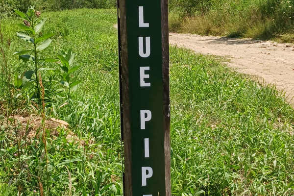
Blue Pipe - Rock Run Recreation Area
Blue Pipe - A trail of Rock Run Recreation Area. Located at the Northern End of the park, Blue Pipe should be able to be traversed by anyone on a motorcycle, ATV, or SxS. It is just under 2.5 miles in length and was built as part of the second phase of the park. Blue Pipe starts at one end with Shor...
Learn more about Blue Pipe - Rock Run Recreation Area
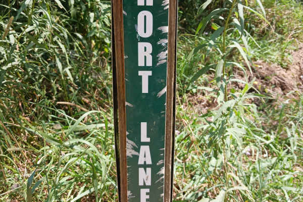
Short Lane - Rock Run Recreation Area
Short Lane - A trail of Rock Run Recreation Area. Located at the Northern End of the park, Short Lane should be able to be traversed by anyone on a motorcycle, OHV, ATV, or SxS. It is just under 6/10ths of a mile in length and was built as part of the second phase of the park. Short Lane starts at ...
Learn more about Short Lane - Rock Run Recreation Area
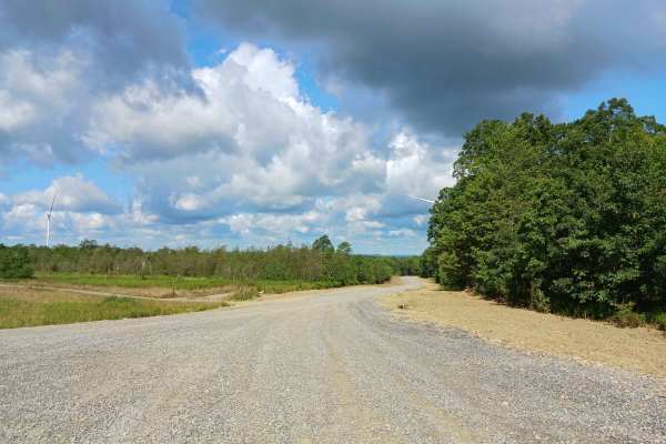
Coyote Pass Road - Rock Run Recreation Area
Coyote Pass Road - A trail of Rock Run Recreation Area. Located on the Northern end of the facility, Coyote Pass Road is an improved stone roadway, two vehicles wide for the entire 6/10ths of a mile in length. Coyote Pass Road was established in the 2025 season as part of the windmill construction ...
Learn more about Coyote Pass Road - Rock Run Recreation Area

Play Pond Path Green Trail - Rock Run Recreation Area
Play Pond Path Green Trail - A trail of Rock Run Recreation Area. Located at the Northern End of the park, Play Pond Path Green Trail should be able to be traversed by anyone with a motorcycle, ATV, or SxS with a little skill. At 7/10ths of a mile in length, it was built as part of the second phase ...
Learn more about Play Pond Path Green Trail - Rock Run Recreation Area
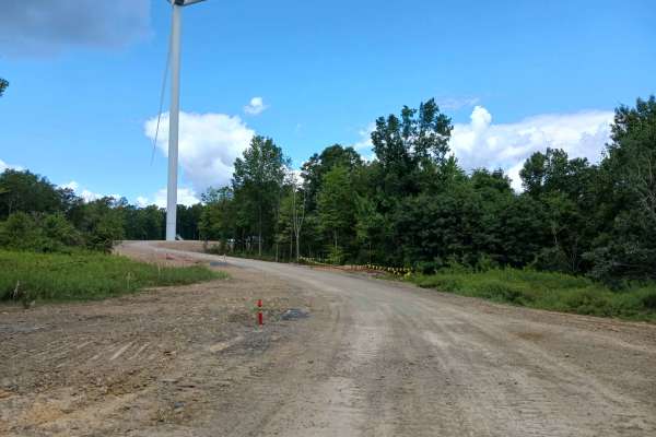
Grouse Drive - Rock Run Recreation Area
Grouse Drive- A trail of Rock Run Recreation Area. Located on the Northern end of the facility, Grouse Drive is an improved stone roadway, two vehicles wide for the entire 4/10ths of a mile. Grouse Drive was established in the 2025 season as part of the windmill construction project and replaced the...
Learn more about Grouse Drive - Rock Run Recreation Area
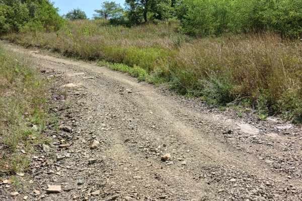
Little Buck Hill - Rock Run Recreation Area
Little Buck Hill - A trail of Rock Run Recreation Area. Located on the Northern end of the facility, Little Buck Hill is just under 175 feet but changes in elevation by 50 feet. This trail is an alternative to Big Buck Hill. One end starts at Big Buck Trail, and the other end is at an intersection w...
Learn more about Little Buck Hill - Rock Run Recreation Area
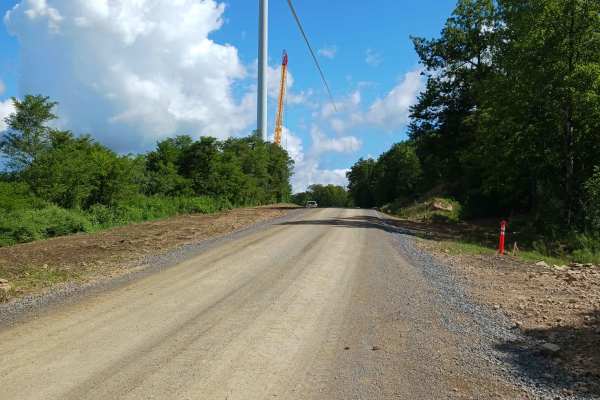
Golden Arch Trail - Rock Run Recreation Area
Golden Arch Trail Road- A trail of Rock Run Recreation Area. Located on the Northern end of the facility, Golden Arch Trail Road is an improved stone roadway, two vehicles wide for the entire 1.1 miles in length. Golden Arch Trail Road was established in the 2025 season as part of the windmill cons...
Learn more about Golden Arch Trail - Rock Run Recreation Area
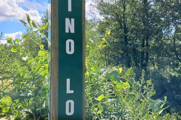
Rhino Loop - Rock Run Recreation Area
Rhino Loop - A trail of Rock Run Recreation Area. Located at the Northern End of the park, Rhino Loop should be able to be traversed by anyone with a motorcycle, ATV, or SxS. At just under one mile in length, it was built as part of the second phase of the park through a grant from Yamaha. Rhino Loo...
Learn more about Rhino Loop - Rock Run Recreation Area
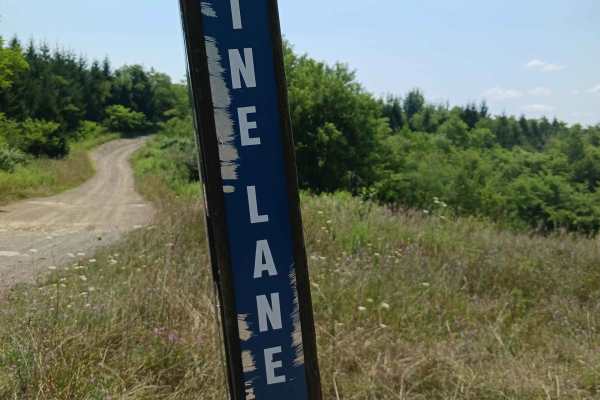
Pine Lane - Rock Run Recreation Area
Pine Lane - A trail of Rock Run Recreation Area. Located on the Northern End of the park, Pine Lane should be able to be traversed by anyone on a motorcycle, ATV, or SxS with a little skill. It is just under two miles in length and was built as part of the second phase of the park. Named after a st...
Learn more about Pine Lane - Rock Run Recreation Area
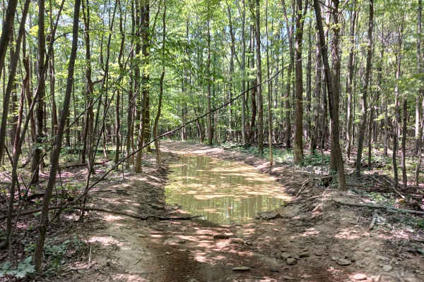
Kit Row - Rock Run Recreation Area
Kit Row - A trail of Rock Run Recreation Area. Located at the Northern End of the park, Kit Row should be able to be traversed by anyone with a motorcycle, ATV, or SxS. At just under half a mile in length, Kit Row starts at one end with Skunk Loop. The other end is at Golden Arch Road. One section ...
Learn more about Kit Row - Rock Run Recreation Area
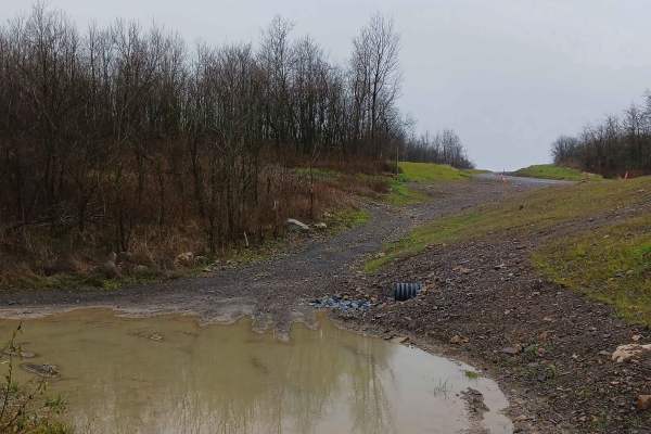
Raptor Path - The OG - Rock Run Recreation Area
Raptor Path - The OG - A trail of Rock Run Recreation Area. Raptor Path – The OG is a long-standing trail of Rock Run Recreation, although it was heavily impacted as part of the windmill project in 2025, and many sections were replaced with the new Raptor Path Trail Road, with a separate section of...
Learn more about Raptor Path - The OG - Rock Run Recreation Area
ATV trails near DuBois, Pennsylvania
Explore ATV-friendly trails near you. These trails are accessible for vehicles up to 50 inches wide, perfect for ATVs and smaller off-road machines.
Firetower Road
From the rolling fields to the south to the forest on the north end, this is a very pleasant unpaved road. If coming from Interstate 80, this may be how you enter this forest, especially if camping in this tract. Get gas before heading into the forest this way. The Love's truck stop off Interstate 8...
Learn more about Firetower Road
Spring Creek Rd
This forest road is the unpaved connector between the western and eastern parts of the Clear Creek & Callen Run tract of Clear Creek State Forest. It connects to PA 949 at either end. Though this featured route ends at the boundary for State Game Land 54 on the eastern end, it does go through. The L...
Learn more about Spring Creek Rd
Turkey Flats Road - Rock Run Recreation Area
Turkey Flats Road - A trail of Rock Run Recreation Area. Located on the Northern End of the park, Turkey Flats Road should be able to be traversed by anyone on a motorcycle, ATV, or SxS. It is 2.1 miles in length and was built as part of the second phase of the park. Turkey Flats Road is a large loo...
Learn more about Turkey Flats Road - Rock Run Recreation Area
Fern Way - Rock Run Recreation Area
Fern Way - A trail of Rock Run Recreation Area. Located at the Northern End of the park, Fern Way should be able to be traversed by anyone with a motorcycle, ATV, or SxS. At 6/10ths of a mile in length, it is almost a complete loop. With both ends starting on Skunk Loop, the intersections are only a...
Learn more about Fern Way - Rock Run Recreation Area
UTV/side-by-side trails near DuBois, Pennsylvania
Find UTV and side-by-side trails near you. These trails accommodate vehicles up to 60 inches wide, ideal for UTVs, side-by-sides, and wider off-road rigs.
Firetower Road
From the rolling fields to the south to the forest on the north end, this is a very pleasant unpaved road. If coming from Interstate 80, this may be how you enter this forest, especially if camping in this tract. Get gas before heading into the forest this way. The Love's truck stop off Interstate 8...
Learn more about Firetower Road
Spring Creek Rd
This forest road is the unpaved connector between the western and eastern parts of the Clear Creek & Callen Run tract of Clear Creek State Forest. It connects to PA 949 at either end. Though this featured route ends at the boundary for State Game Land 54 on the eastern end, it does go through. The L...
Learn more about Spring Creek Rd
Turkey Flats Road - Rock Run Recreation Area
Turkey Flats Road - A trail of Rock Run Recreation Area. Located on the Northern End of the park, Turkey Flats Road should be able to be traversed by anyone on a motorcycle, ATV, or SxS. It is 2.1 miles in length and was built as part of the second phase of the park. Turkey Flats Road is a large loo...
Learn more about Turkey Flats Road - Rock Run Recreation Area
Fern Way - Rock Run Recreation Area
Fern Way - A trail of Rock Run Recreation Area. Located at the Northern End of the park, Fern Way should be able to be traversed by anyone with a motorcycle, ATV, or SxS. At 6/10ths of a mile in length, it is almost a complete loop. With both ends starting on Skunk Loop, the intersections are only a...
Learn more about Fern Way - Rock Run Recreation Area
The onX Offroad Difference
onX Offroad combines trail photos, descriptions, difficulty ratings, width restrictions, seasonality, and more in a user-friendly interface. Available on all devices, with offline access and full compatibility with CarPlay and Android Auto. Discover what you're missing today!
Open Trail Map