Trail Overview
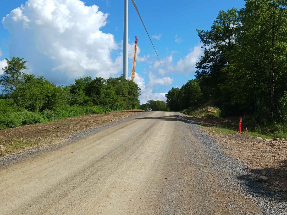
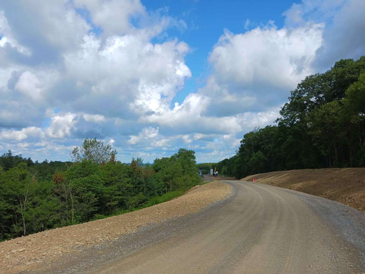
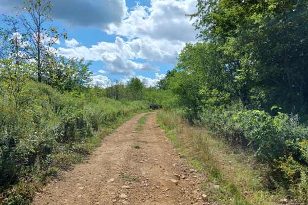
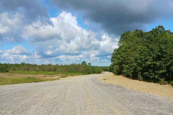
Golden Arch Trail Road- A trail of Rock Run Recreation Area. Located on the Northern end of the facility, Golden Arch Trail Road is an improved stone roadway, two vehicles wide for the entire 1.1 miles in length. Golden Arch Trail Road was established in the 2025 season as part of the windmill construction project and replaced an existing section of Golden Arch Trail. As part of the project, portions were realigned, and both the grades and turns were made less pronounced. One end starts at the three-way intersection with Coyote Pass Road and Raptor Road, and the other end meets at Rouges Harbor Road. There are two wind turbines located along this route, Turbine 15 and Turbine 17. Despite this road being improved, be aware of the loose stone, potential dust in dry weather, and potential washouts after heavy rain. Please adhere to the posted speed limit for the safety of all users. This is a two-way trail and offers a different experience riding it both directions. This trail is open to all vehicle types. Trail driven and documented in August 2025.
Difficulty
This is an easier, improved stone road/trail. You will encounter loose stones, potential dust in dry conditions, and washouts in wet conditions.