
Dirt Bike Trails
Near Drain, Oregon
Explore All Dirt Bike Trails Near Drain, Oregon
Dirt Bike Trails Near Drain, Oregon
Discover the best dirt bike trails near you. Browse trail maps, check difficulty ratings, and find your next adventure — whether you're looking for a quick ride or an all-day expedition.
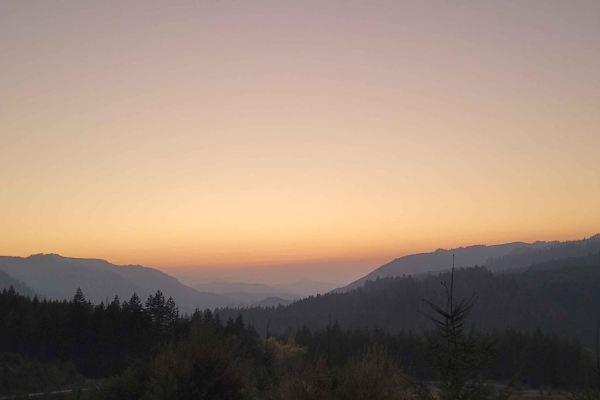
Backroads to Swiftwater to Peel Oregon
Great viewing points of the N. Umpqua River and the area of Thunder Mountain. There are lots of opportunities for mudding and enjoying a nice day on the mountain. It is a great trail for getting from Lil River Side to Rock Creek side in an SxS or 4Wheeler. Come prepared with food, drink, water, and ...
Learn more about Backroads to Swiftwater to Peel Oregon
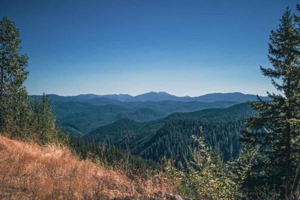
June Mountain
June Mountain road runs through Umpqua National Forest, it is a mix of gravel and natural surfaces. There is a potential for multiple downed trees, some of which hang over the road, making it not possible for a taller vehicle to fit without a chainsaw and some sections of this road can be steep, win...
Learn more about June Mountain

The Bohemian Champion
Champion Creek Road is a fun route up to Champion Saddle. The overall grade is fairly mild, without any overly steep areas. The road is not maintained and may be more difficult to pass during the winter season. The road consists of dirt with loose rock. It is common to find fallen trees or small bou...
Learn more about The Bohemian Champion
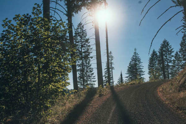
Laying Creek -Patternson
Laying Creek - Patternson road is a very easy smooth two-car wide gravel road, that is typically unmaintained. There are sections of the road that can get steep, but it is still doable for a 2wd vehicle in good weather. The road runs through Umpqua National Forest and there is access to Spirit Falls...
Learn more about Laying Creek -Patternson
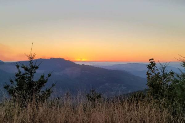
Peel to Wolf Creek Job Corps Bypass Route
This route is a bypass for local residents and employees of Job Corps to avoid fire or road hazards that may arise. It is mostly small tire-friendly. Use caution during the week as it will have moderate log truck traffic in the area and on Little River Road.
Learn more about Peel to Wolf Creek Job Corps Bypass Route

Patterson Mountain
When entering Patterson Mountain Road from Highway 58 in the beginning, there is a dirt bike trail that runs across the road called Lawler #3473 Trail. Keep an eye out for riders. This road runs through the Willamette National Forest and is very easy gravel riding, but it can be twisty with blind co...
Learn more about Patterson Mountain
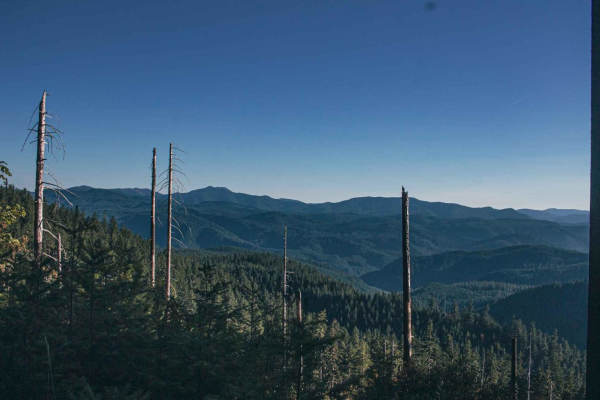
Surprise
Surprise is a short, challenging off-road route in the Willamette National Forest designed for drivers of short-wheelbase four-wheel-drive vehicles and SxSs seeking a tight, forested adventure. Stretching approximately 1.7 miles, this narrow, single-lane dirt trail climbs from an elevation of 3,231 ...
Learn more about Surprise
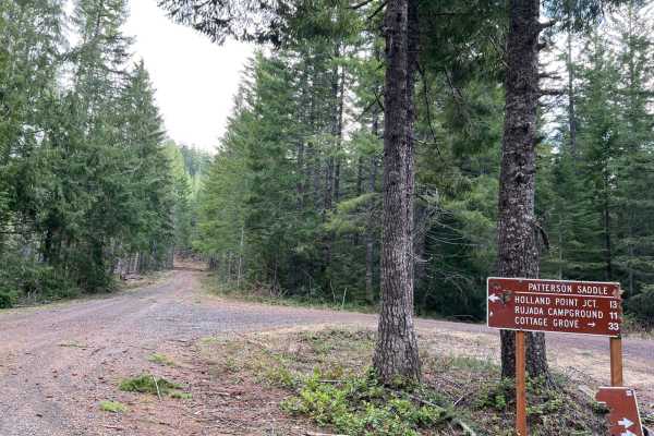
Mid Coast Ridge
This trail segment began at the intersection of Patterson Mountain, "Surprise" and Layng Creek-Patterson, which straddles the divide between Umpqua National Forest and Willamette National Forest. The trail winds over Patterson Saddle and alongside Patterson Mountain, and if you elect to take a spur ...
Learn more about Mid Coast Ridge
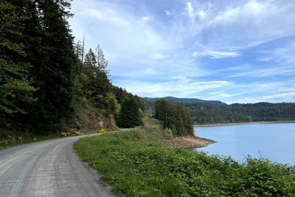
Lookout Point Trail
NF-5821 is a dirt road on the opposite side of Willamette Highway 58, separated by Lookout Point Lake. The locals use this road as an alternative route when Highway 58 is closed due to a major car accident, but on most days, Lookout Point Trail is a fun trail, especially for beginners. Where any cro...
Learn more about Lookout Point Trail
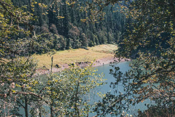
Goodman Creek
Goodman Creek is a typically unmaintained one-lane gravel road with turnouts that runs through the Willamette National Forest, there is a chance of fallen trees in this area. The road has three hiking trails Eagles Rest Trailhead Lower, Goodman Creek Falls, and Lost Creek Trailhead. The end of the t...
Learn more about Goodman Creek
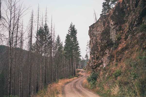
Timber Creek
Timber Creek is an easy gravel and natural surface road that runs through the Umpqua National Forest. There is access to Mott Trailhead at the beginning/ending of the road, depending on where you started your route. A section of the road has an area that often sees falling rocks and small landslides...
Learn more about Timber Creek
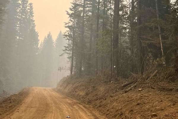
Steamboat Springs - Chilcoot
This route is a well-maintained forest service road that begins at the bridge in Steamboat Springs and follows 3806 Road to the summit. It is suitable for vehicles of all sizes, including big rigs, and is consistently well-kept, with several large pull-offs and natural water sources along the way. T...
Learn more about Steamboat Springs - Chilcoot
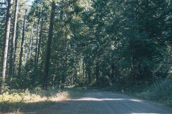
Lower Emily
Lower Emily road is an easy gravel road that leads you to access Grotto Falls Trailhead. There is a pit toilet at the trailhead right after the bridge. The road after that gets tight and overgrown, it eventually stops at a very large washout. Recommended to turn around at the bathroom as the farther...
Learn more about Lower Emily
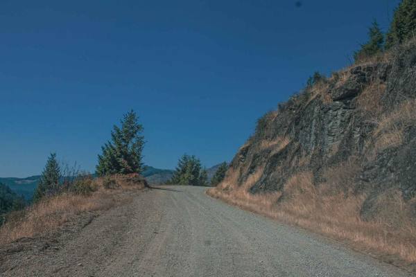
Lookout Mountain
Lookout Mountain road runs through the Umpqua National Forest, it is an easy gravel road with sections that can be gradually steep and curvy. There are some sections of this road that have really cool rock formations and pretty views. There is also a really cool spot at Emile Shelter to stop and enj...
Learn more about Lookout Mountain
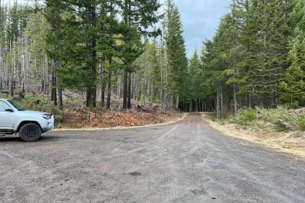
Deception Butte
This trail spans between the Mid Coast Ridge trail and the Kruger Rock Road Trail. The south end, near Mid Coast Ridge and Fivepoint Hill, sports the highest elevation, dropping steadily for about 1000' before meeting up with Kruger. No extreme inclines are present, and the trail is a mix of gravel ...
Learn more about Deception Butte
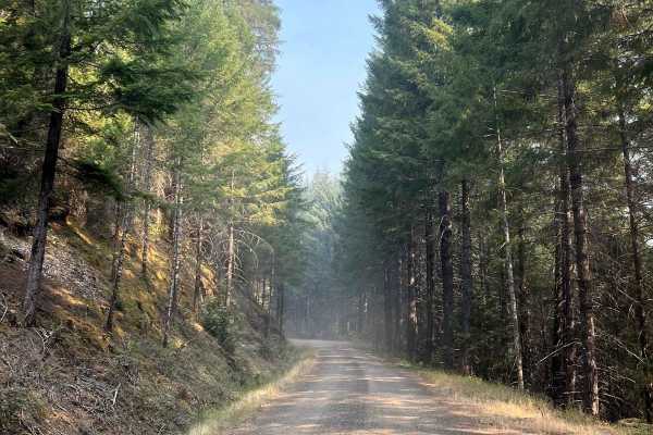
NF3809 to NF3806
This well-maintained forest road winds its way through multiple ridges to the intersection of the 3806 NF Road, providing users with an alternative route to access Chilcoot Mountain and the radio towers. The road features several water sources, multiple spur roads, and large pull-outs, ensuring a sm...
Learn more about NF3809 to NF3806
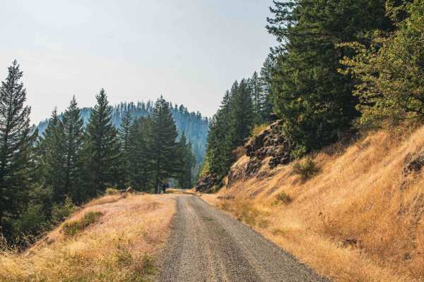
Windy
Windy Road runs through Umpqua National Forest, it is a one-car land road with some turnouts, that are typically unmaintained. There are some really cool rock formations along the cliff edges that follow the road, as well as some pretty views here and there. There are a few roads that speer off this...
Learn more about Windy
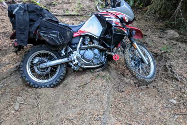
Dead Horse Revenge
This trail is a fun out-and-back route that offers great views and some fun terrain. Originally the trail connects back to Coos Bay Wagon road, however, aside from the trail becoming very difficult at the end of this route, it appears that RFP posted signs closing the trail to motor vehicles. Althou...
Learn more about Dead Horse Revenge
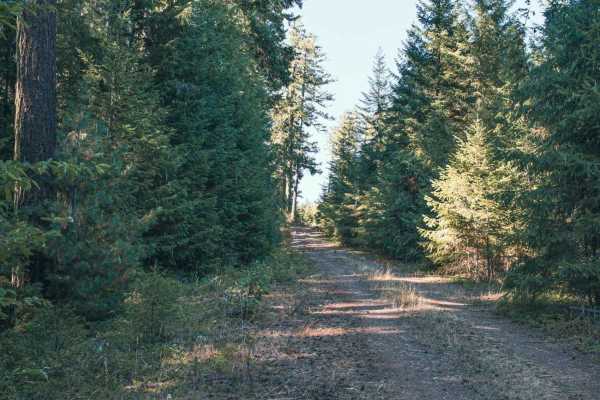
Panther Ridge
Panther Ridge road is an easy yet overgrown natural surface road that looks like it once was gravel, but it has long been overrun by the forest around it. If you don't like pin strips I would avoid this trail. The road runs through the Umpqua National Forest, and there are a couple of small spots to...
Learn more about Panther Ridge
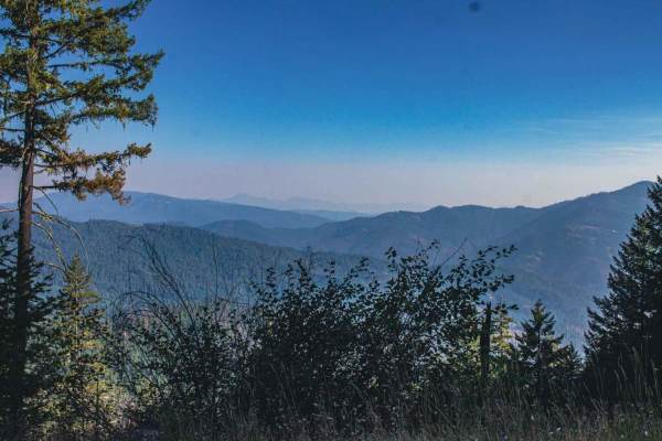
Panther Creek
Panther Creek road runs through the Umpqua National Forest, it is an easy single-car width gravel road with some spots to pull off. There are a couple of sections in the trees that clear out offering a pretty view of the mountains in the distance. There is a hike that gets you to Fairy Shelter Fores...
Learn more about Panther Creek
ATV trails near Drain, Oregon
Explore ATV-friendly trails near you. These trails are accessible for vehicles up to 50 inches wide, perfect for ATVs and smaller off-road machines.
Backroads to Swiftwater to Peel Oregon
Great viewing points of the N. Umpqua River and the area of Thunder Mountain. There are lots of opportunities for mudding and enjoying a nice day on the mountain. It is a great trail for getting from Lil River Side to Rock Creek side in an SxS or 4Wheeler. Come prepared with food, drink, water, and ...
Learn more about Backroads to Swiftwater to Peel Oregon
June Mountain
June Mountain road runs through Umpqua National Forest, it is a mix of gravel and natural surfaces. There is a potential for multiple downed trees, some of which hang over the road, making it not possible for a taller vehicle to fit without a chainsaw and some sections of this road can be steep, win...
Learn more about June Mountain
The Bohemian Champion
Champion Creek Road is a fun route up to Champion Saddle. The overall grade is fairly mild, without any overly steep areas. The road is not maintained and may be more difficult to pass during the winter season. The road consists of dirt with loose rock. It is common to find fallen trees or small bou...
Learn more about The Bohemian Champion
Laying Creek -Patternson
Laying Creek - Patternson road is a very easy smooth two-car wide gravel road, that is typically unmaintained. There are sections of the road that can get steep, but it is still doable for a 2wd vehicle in good weather. The road runs through Umpqua National Forest and there is access to Spirit Falls...
Learn more about Laying Creek -Patternson
UTV/side-by-side trails near Drain, Oregon
Find UTV and side-by-side trails near you. These trails accommodate vehicles up to 60 inches wide, ideal for UTVs, side-by-sides, and wider off-road rigs.
Backroads to Swiftwater to Peel Oregon
Great viewing points of the N. Umpqua River and the area of Thunder Mountain. There are lots of opportunities for mudding and enjoying a nice day on the mountain. It is a great trail for getting from Lil River Side to Rock Creek side in an SxS or 4Wheeler. Come prepared with food, drink, water, and ...
Learn more about Backroads to Swiftwater to Peel Oregon
June Mountain
June Mountain road runs through Umpqua National Forest, it is a mix of gravel and natural surfaces. There is a potential for multiple downed trees, some of which hang over the road, making it not possible for a taller vehicle to fit without a chainsaw and some sections of this road can be steep, win...
Learn more about June Mountain
The Bohemian Champion
Champion Creek Road is a fun route up to Champion Saddle. The overall grade is fairly mild, without any overly steep areas. The road is not maintained and may be more difficult to pass during the winter season. The road consists of dirt with loose rock. It is common to find fallen trees or small bou...
Learn more about The Bohemian Champion
Laying Creek -Patternson
Laying Creek - Patternson road is a very easy smooth two-car wide gravel road, that is typically unmaintained. There are sections of the road that can get steep, but it is still doable for a 2wd vehicle in good weather. The road runs through Umpqua National Forest and there is access to Spirit Falls...
Learn more about Laying Creek -Patternson
The onX Offroad Difference
onX Offroad combines trail photos, descriptions, difficulty ratings, width restrictions, seasonality, and more in a user-friendly interface. Available on all devices, with offline access and full compatibility with CarPlay and Android Auto. Discover what you're missing today!
Open Trail Map