Panther Ridge

Total Miles4.1
Technical Rating
2Easy
Best TimeSpring, Summer, Fall
Trail TypeFull-Width Road
Accessible By
Open Trail Map

Trail Overview

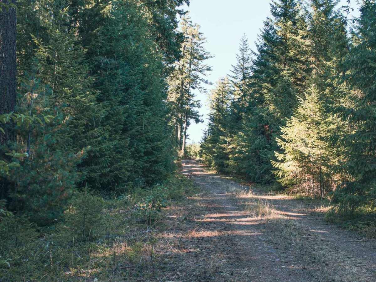
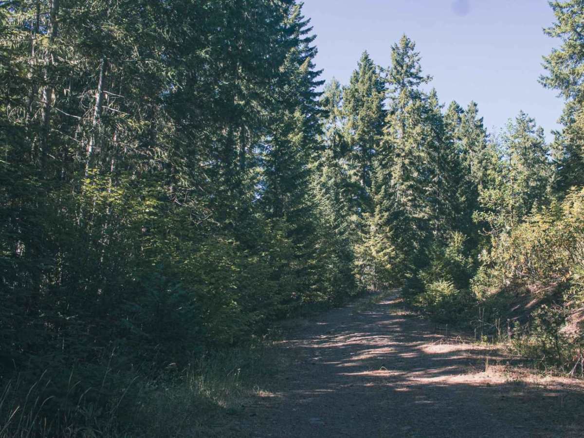
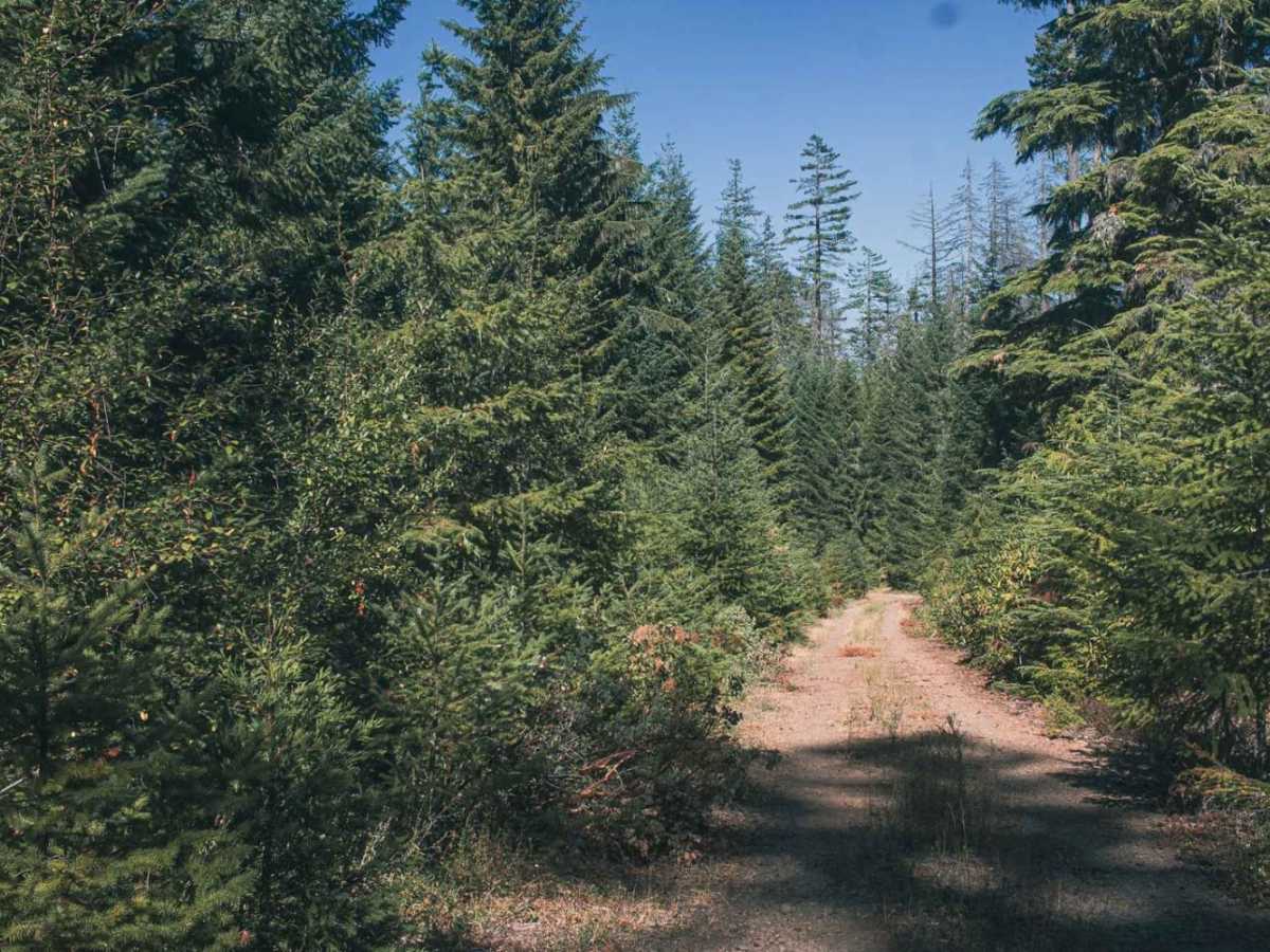
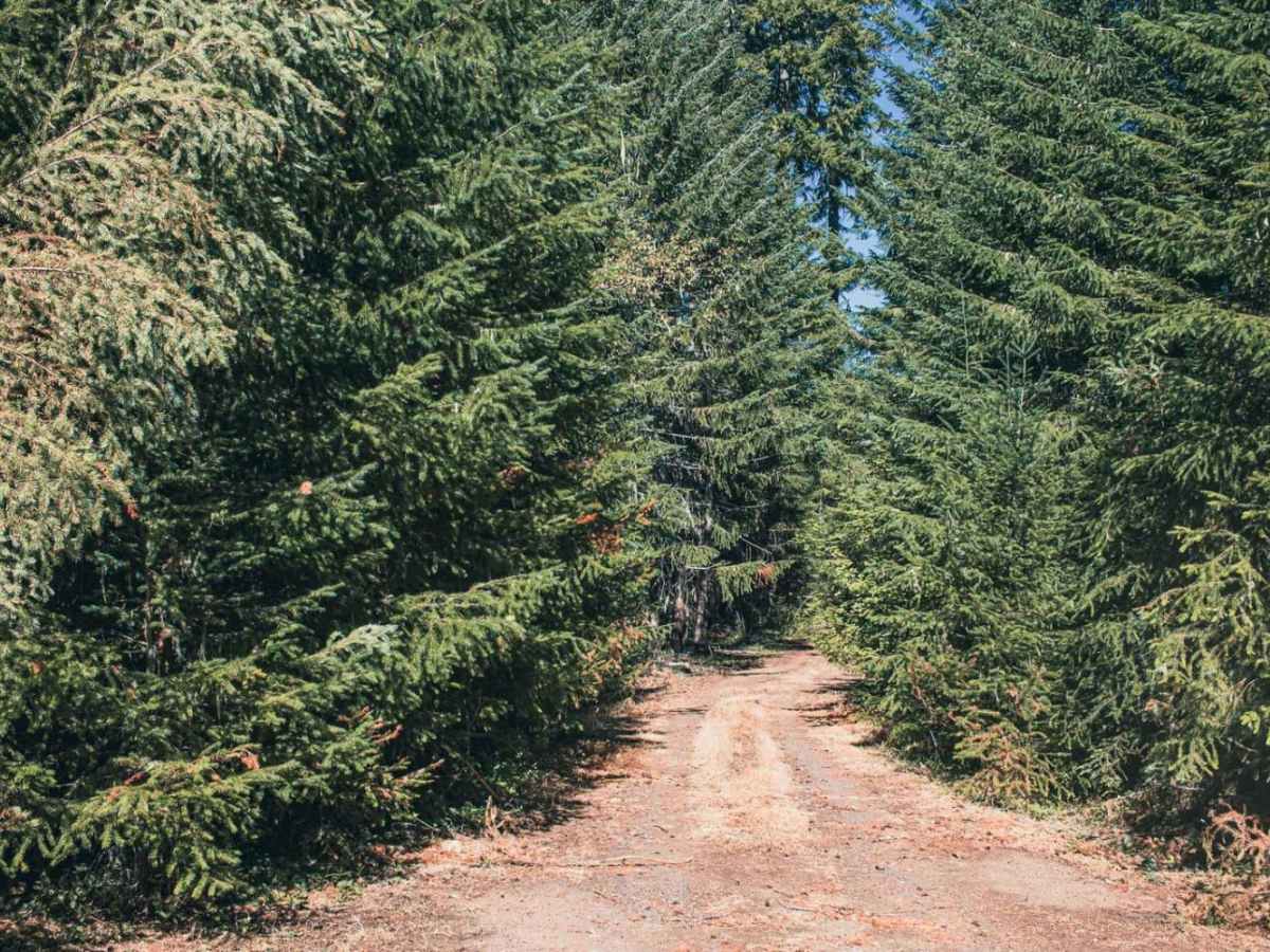
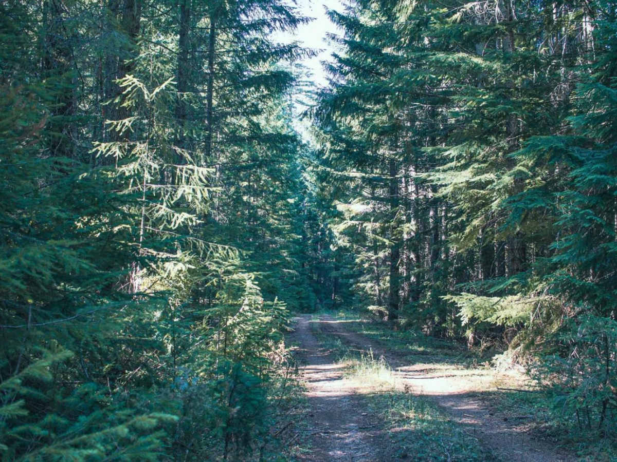
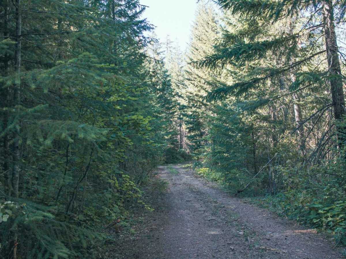
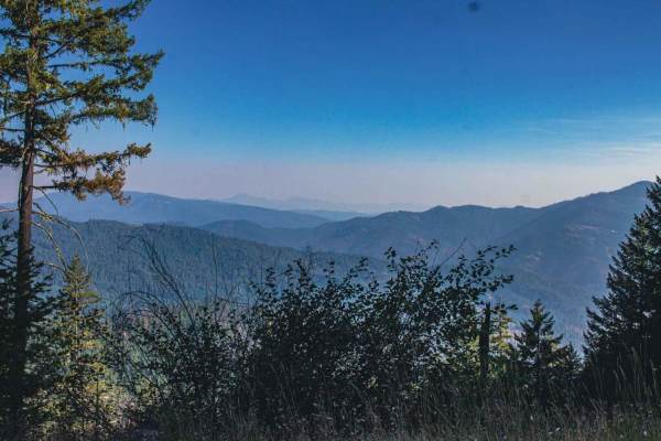
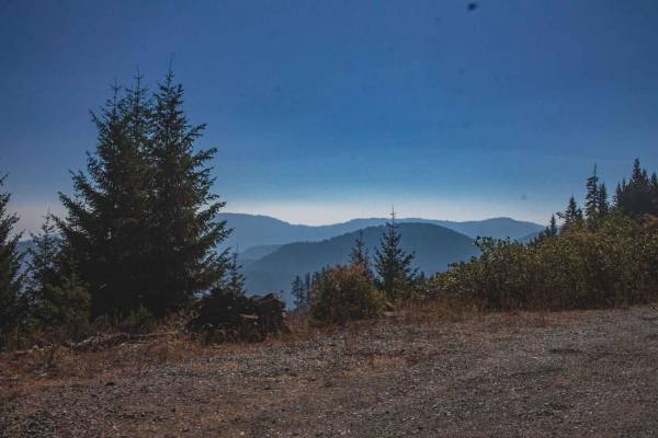
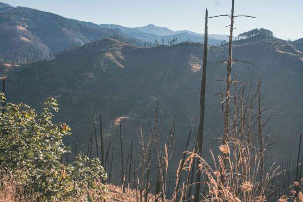
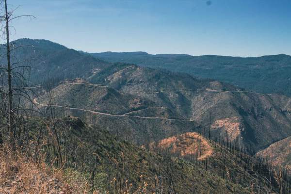
Panther Ridge is an easy, scenic 4.1-mile off-road drive through Oregon's Umpqua National Forest. Once a gravel road, it is now an overgrown, unpaved trail heavily encroached upon by dense vegetation, where tight brush can cause pinstriping on larger vehicles. The trail climbs gently from 3,636 to 3,903 feet. Rated 2 for difficulty, this unmaintained route is accessible to most high-clearance 4WD vehicles but can become slick after rain or snow. A few small, primitive pull-offs along the way offer opportunities for dispersed camping.

Photos of Panther Ridge

Difficulty

typically unmaintained after rain or snow

Technical Rating

2

Panther Ridge Trail can be accessed by the following ride types:

  • Single Track
  • 50 Inch
  • 60 Inch
  • High Clearance
  • Full Width

Access Description

Located within the Umpqua National Forest. No special permits or fees are required to drive the road, but standard forest regulations apply. The route is typically unmaintained and can become impassable after heavy rain or snow. Drivers should be prepared for tight, narrow conditions that can cause pinstriping on larger vehicles.

Panther Ridge Map

The onX Offroad Difference

onX Offroad combines trail photos, descriptions, difficulty ratings, width restrictions, seasonality, and more in a user-friendly interface. Available on all devices, with offline access and full compatibility with CarPlay and Android Auto. Discover what you're missing today!

Open Trail Map