
Dirt Bike Trails
Near Dixon Lane-Meadow Creek, California
Explore All Dirt Bike Trails Near Dixon Lane-Meadow Creek, California
Dirt Bike Trails Near Dixon Lane-Meadow Creek, California
Discover the best dirt bike trails near you. Browse trail maps, check difficulty ratings, and find your next adventure — whether you're looking for a quick ride or an all-day expedition.
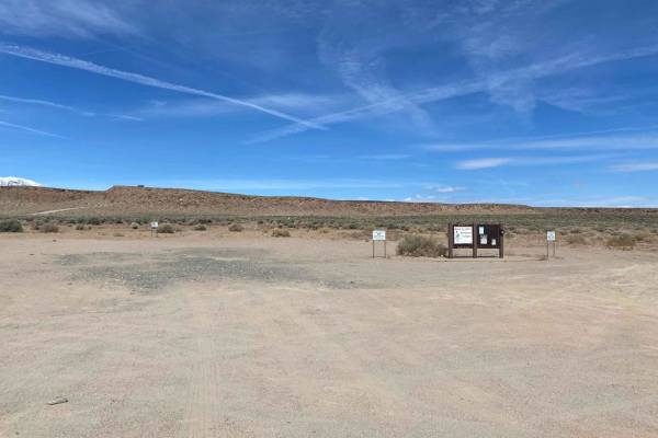
Fish Slough Road (3V01)
Fish Slough Road is a 19-mile long (End to End), 3-vehicle-wide road, and depending on the time of the year, it could be evenly graded or can have washboards of varying degrees. There are amazing views of both the Eastern Sierra Mountains to the west and the White Mountains to the east. Fish Slough ...
Learn more about Fish Slough Road (3V01)
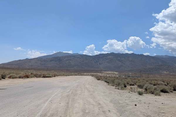
Coyote Valley Road
This route starts off as a wide very sandy road that goes by a very popular mountain bike area, so watch out for bikers throughout the journey. The trail takes you up a canyon with hills on both sides, offering beautiful views of the mountains as you're approaching and giving you a preview of what t...
Learn more about Coyote Valley Road
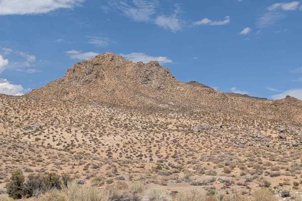
Tungsten City Road
This route starts at Highway 168, just north of Bishop, beginning as a very wide trail before narrowing after 1 mile as you enter the Tungsten Hills OHV area. The trail passes a pet cemetery as well as the Tungsten Hills OHV area, offering beautiful views of the Eastern Sierras and the White Mountai...
Learn more about Tungsten City Road
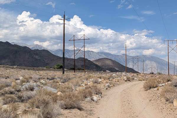
Tungsten Hills Cutoff
This route drops over 200 feet in under 2 miles, winding through the hills while following power lines. The trail offers beautiful views of the Eastern Sierras on one side and the White Mountains on the other, along with views of the town of Bishop below. There are some dispersed campsites along the...
Learn more about Tungsten Hills Cutoff
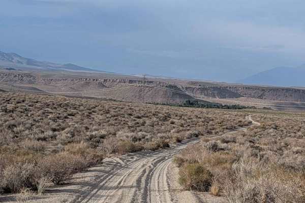
Sawmill Connector
This sandy cutoff trail connects Sawmill Road with Tungsten City Road, dropping almost 300 feet in almost 1.5 miles. The route offers views in all directions, including the Eastern Sierras, the White Mountains, the Buttermilk area, as well as Bishop and Round Valley. The 395 is visible down below, a...
Learn more about Sawmill Connector
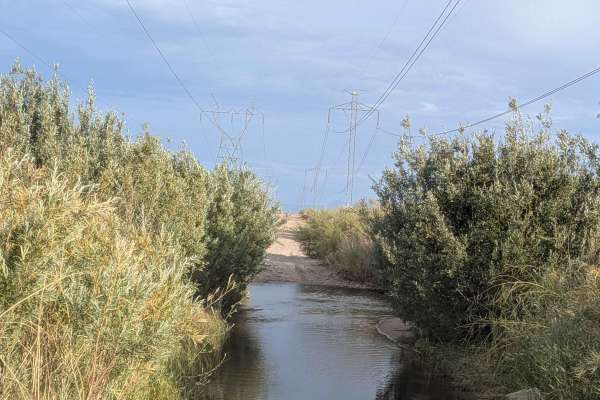
Power Line Road NW
This northwest-to-southeast sandy road connects Ed Powers Road with South Round Valley Road, which eventually leads to Highway 395. It serves as a bypass of Bishop, allowing you to skip paved roads if that's what you're trying to avoid. The route offers views in all directions, including the Eastern...
Learn more about Power Line Road NW
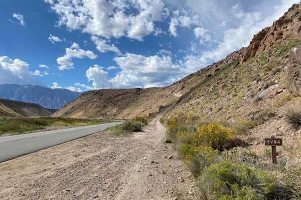
Pole Road (3V04)
On Pole Road (3V04), with the Owens River to the south, the majestic Eastern Sierra mountain range to the west, the sprawling White Mountains to the east, and Casa Diablo to the northwest, you will find no shortage of views. Pole Road (3V04) runs along the transmission lines and is used to maintain ...
Learn more about Pole Road (3V04)
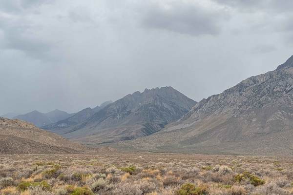
Tungsten Hills North
This very dusty route features sand with various-sized embedded rocks and is part of the larger R1 system. The trail is 1 1/2 vehicles wide with various shelf road sections along the creek, requiring extra caution. After a mile, you're rewarded with 180-degree views of the Eastern Sierra mountains a...
Learn more about Tungsten Hills North
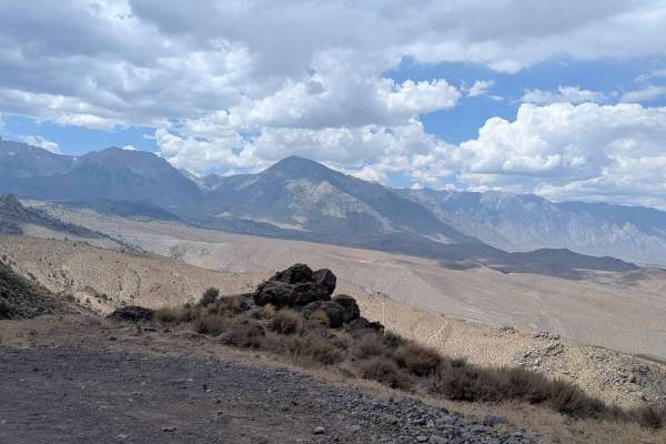
Coyote Flats FS7S10
This dramatic ascent climbs almost 4,000 feet in just under 8 miles, utilizing shelf roads and switchbacks to navigate the steep terrain. The route offers stunning views of the valley below and dramatic vistas of the Eastern Sierra mountain peaks throughout the climb. After the first mile, the road ...
Learn more about Coyote Flats FS7S10
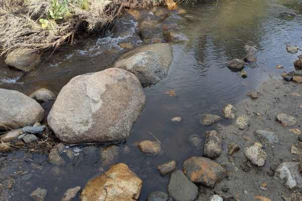
McGee Creek R2
This route drops over 734 feet in 2 miles, offering views of the Eastern Sierras, the White Mountains, the Buttermilk Rock Formations, and the Town of Bishop below as you descend. The trail features some interesting and beautiful rock formations along the way, providing scenic interest beyond just t...
Learn more about McGee Creek R2
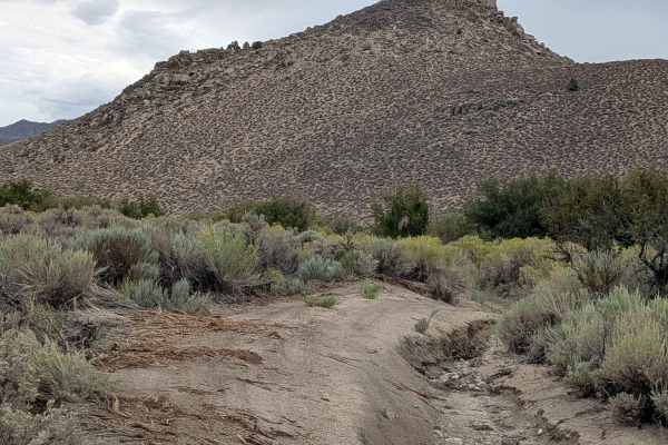
Lucky Strike Mine - FS 7S105
This challenging route offers great views of the Eastern Sierra mountains and the White Mountains across Highway 395 as it navigates through varied terrain. Most of this trail is owned by the LAWDP, so no camping is allowed along the route. From Buttermilk Road, the trail improves after the first ha...
Learn more about Lucky Strike Mine - FS 7S105
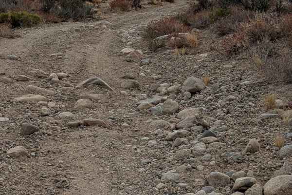
Pine Creek Mine Valley
This relatively flat trail cuts through the valley between the Eastern Sierras and the Pine Creek Mine Mountain, providing a scenic traverse through diverse high-desert terrain. The route is a continuation of the Tungsten Hills North and connects with FS7S102. The trail offers opportunities to learn...
Learn more about Pine Creek Mine Valley
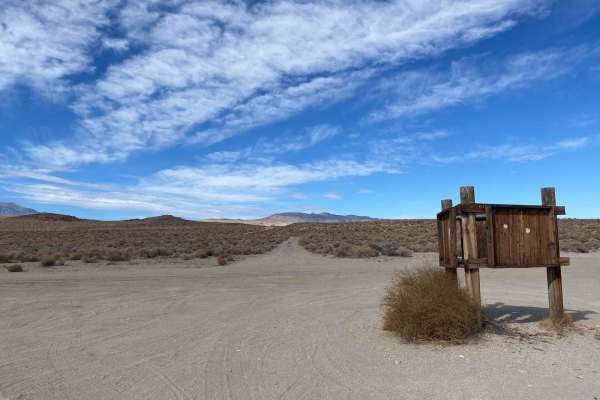
Kona's Crossing
Kona's Crossing is a moderate trail that takes you across the scenic landscape of the Volcanic Tablelands right to Casa Diablo Mountain (If you start from Fish Slough). This trail consists of varying soil types, from moderately deep sand to cobblestone-style rock to a challenging rocky switchback. T...
Learn more about Kona's Crossing
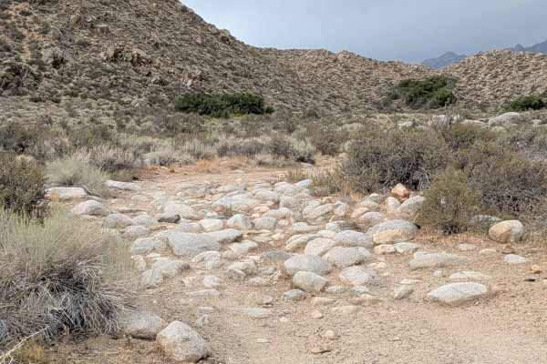
FS 7S102
This route is part of the foothills of the Eastern Sierras, dropping down into the Pine Creek Mine Valley with the White Mountains visible on the other side. The trail connects to Pine Creek Mine Valley Trail and Longley Meadow FS7504, with various side trails, including 31E306, where ATVs are not a...
Learn more about FS 7S102

Longley Meadow - FS 7504
This very sandy and dusty trail is one vehicle wide, lined with thick brush throughout most of the route. The trail offers stunning views of the Eastern Sierras and other surrounding hills and rock formations near the Buttermilk Rock climbing area. A good spur trail, 07S04C, branches off and takes y...
Learn more about Longley Meadow - FS 7504
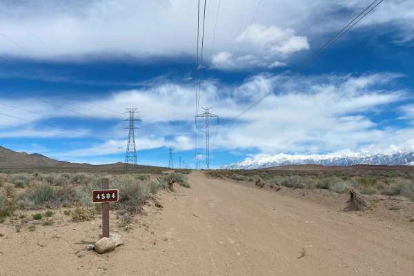
Pole Road (4S04)
Pole Road (4S04) is a mild dirt road mixed with shallow sand. It is 8 miles one way, 16 miles out and back. It has a few offshoots for camping and even has a route towards the end of the trail to connect to Chidago Loop or back to Fish Slough Road. At the end of the trail is an awesome canyon overlo...
Learn more about Pole Road (4S04)
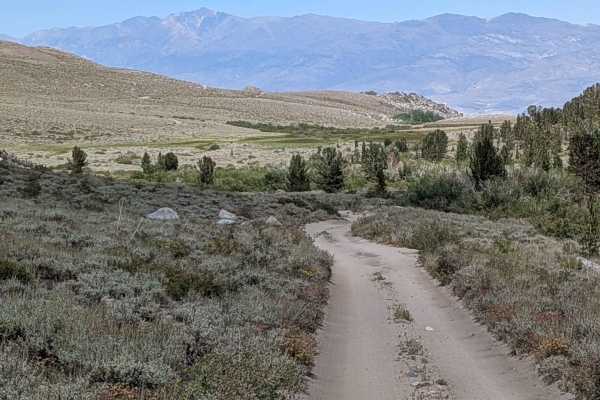
FS 32E306
This sand and dirt trail is filled with embedded rocks of all sizes, from small loose chunks to larger boulders scattered along the way. It climbs nearly 800 feet in under 3 miles and rewards you with stunning views of the Eastern Sierras, the valley below, and the surrounding hills. The first 2 mil...
Learn more about FS 32E306
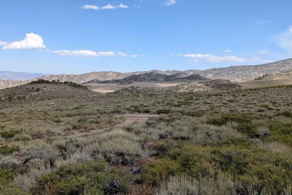
FS 32E307
This 5.5-mile out-and-back trail climbs steadily toward one of the small peaks in the Eastern Sierra, offering a mix of rugged terrain and breathtaking vistas. The lower section starts as packed dirt with small embedded rocks, winding through an open meadow filled with brush and wildflowers. With no...
Learn more about FS 32E307
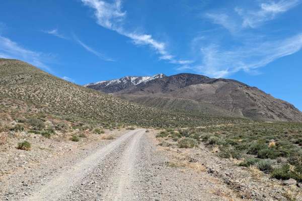
Black Canyon
This 2.5-mile trail leaves the valley floor and heads up the Black Canyon where it rises over 1,250 feet. The dirt road quickly turns into a very rocky path. The first real obstacle is crossing a long rocky wash. High clearance is recommended from this point forward. The rock walls surrounding the c...
Learn more about Black Canyon
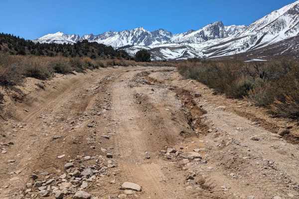
Upper Buttermilk Road
The trail starts just before the Buttermilk Bouldering Climb Area and Dispersed Camping Area. The first 1.5 miles is dirt, but it gets very rocky quickly. There are a few sections that are heavily rutted due to water run-off. The trail climbs from 5,889 feet up to 7,910 feet. There are stunning vie...
Learn more about Upper Buttermilk Road
ATV trails near Dixon Lane-Meadow Creek, California
Explore ATV-friendly trails near you. These trails are accessible for vehicles up to 50 inches wide, perfect for ATVs and smaller off-road machines.
Fish Slough Road (3V01)
Fish Slough Road is a 19-mile long (End to End), 3-vehicle-wide road, and depending on the time of the year, it could be evenly graded or can have washboards of varying degrees. There are amazing views of both the Eastern Sierra Mountains to the west and the White Mountains to the east. Fish Slough ...
Learn more about Fish Slough Road (3V01)
Coyote Valley Road
This route starts off as a wide very sandy road that goes by a very popular mountain bike area, so watch out for bikers throughout the journey. The trail takes you up a canyon with hills on both sides, offering beautiful views of the mountains as you're approaching and giving you a preview of what t...
Learn more about Coyote Valley Road
Tungsten City Road
This route starts at Highway 168, just north of Bishop, beginning as a very wide trail before narrowing after 1 mile as you enter the Tungsten Hills OHV area. The trail passes a pet cemetery as well as the Tungsten Hills OHV area, offering beautiful views of the Eastern Sierras and the White Mountai...
Learn more about Tungsten City Road
Tungsten Hills Cutoff
This route drops over 200 feet in under 2 miles, winding through the hills while following power lines. The trail offers beautiful views of the Eastern Sierras on one side and the White Mountains on the other, along with views of the town of Bishop below. There are some dispersed campsites along the...
Learn more about Tungsten Hills Cutoff
UTV/side-by-side trails near Dixon Lane-Meadow Creek, California
Find UTV and side-by-side trails near you. These trails accommodate vehicles up to 60 inches wide, ideal for UTVs, side-by-sides, and wider off-road rigs.
Fish Slough Road (3V01)
Fish Slough Road is a 19-mile long (End to End), 3-vehicle-wide road, and depending on the time of the year, it could be evenly graded or can have washboards of varying degrees. There are amazing views of both the Eastern Sierra Mountains to the west and the White Mountains to the east. Fish Slough ...
Learn more about Fish Slough Road (3V01)
Coyote Valley Road
This route starts off as a wide very sandy road that goes by a very popular mountain bike area, so watch out for bikers throughout the journey. The trail takes you up a canyon with hills on both sides, offering beautiful views of the mountains as you're approaching and giving you a preview of what t...
Learn more about Coyote Valley Road
Tungsten City Road
This route starts at Highway 168, just north of Bishop, beginning as a very wide trail before narrowing after 1 mile as you enter the Tungsten Hills OHV area. The trail passes a pet cemetery as well as the Tungsten Hills OHV area, offering beautiful views of the Eastern Sierras and the White Mountai...
Learn more about Tungsten City Road
Tungsten Hills Cutoff
This route drops over 200 feet in under 2 miles, winding through the hills while following power lines. The trail offers beautiful views of the Eastern Sierras on one side and the White Mountains on the other, along with views of the town of Bishop below. There are some dispersed campsites along the...
Learn more about Tungsten Hills Cutoff
The onX Offroad Difference
onX Offroad combines trail photos, descriptions, difficulty ratings, width restrictions, seasonality, and more in a user-friendly interface. Available on all devices, with offline access and full compatibility with CarPlay and Android Auto. Discover what you're missing today!
Open Trail Map